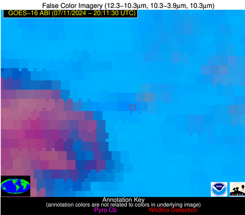
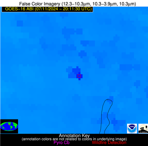
Wildfire Alert Report
| Date: | 2024-07-11 |
|---|---|
| Time: | 20:11:17 |
| Production Date and Time: | 2024-07-11 20:16:00 UTC |
| Primary Instrument: | GOES-16 ABI |
| Wmo Spacecraft Id: | 152 |
| Location/orbit: | GEO |
| L1 File: | OR_ABI-L1b-RadC-M6C14_G16_s20241932011174_e20241932013547_c20241932014028.nc |
| L1 File(s) - Temporal | OR_ABI-L1b-RadC-M6C14_G16_s20241932006174_e20241932008547_c20241932009032.nc |
| Number Of Thermal Anomaly Alerts: | 3 |
Possible Wildfire
| Basic Information | |
|---|---|
| State/Province(s) | IL |
| Country/Countries | USA |
| County/Locality(s) | Coles County, IL |
| NWS WFO | Lincoln IL |
| Identification Method | Enhanced Contextual (Clear) |
| Mean Object Date/Time | 2024-07-11 20:11:51UTC |
| Radiative Center (Lat, Lon): | 39.480000°, -88.170000° |
| Nearby Counties (meeting alert criteria): |
|
| Total Radiative Power Anomaly | n/a |
| Total Radiative Power | 30.11 MW |
| Map: | |
| Additional Information | |
| Alert Status | New Feature |
| Type of Event | Likely an Urban Source |
| Event Priority Ranking | 5 |
| Maximum Observed BT (3.9 um) | 303.91 K |
| Observed - Background BT (3.9 um) | 4.46 K |
| BT Anomaly (3.9 um) | 6.12 K |
| Maximum Observed - Clear RTM BT (3.9 um) | 9.16 K |
| Maximum Observed BTD (3.9-10/11/12 um) | 15.95 K |
| Observed - Background BTD (3.9-10/11/12 um) | 4.36 K |
| BTD Anomaly (3.9-10/11/12 um) | 5.42 K |
| Similar Pixel Count | 21 |
| BT Time Tendency (3.9 um) | 0.10 K |
| Image Interval | 5.00 minutes |
| Fraction of Surrounding LWIR Pixels that are Colder | 0.58 |
| Fraction of Surrounding Red Channel Pixels that are Brighter | 0.25 |
| Maximum Radiative Power | 17.25 MW |
| Maximum Radiative Power Uncertainty | 0.00 MW |
| Total Radiative Power Uncertainty | 0.00 MW |
| Mean Viewing Angle | 47.90° |
| Mean Solar Zenith Angle | 33.20° |
| Mean Glint Angle | 56.60° |
| Water Fraction | 0.00 |
| Total Pixel Area | 13.50 km2 |
| Latest Satellite Imagery: | |
| View all event imagery » | |
Possible Wildfire
| Basic Information | |
|---|---|
| State/Province(s) | SC |
| Country/Countries | USA |
| County/Locality(s) | Beaufort County, SC |
| NWS WFO | Charleston SC |
| Identification Method | Enhanced Contextual (Cloud) |
| Mean Object Date/Time | 2024-07-11 20:12:22UTC |
| Radiative Center (Lat, Lon): | 32.640000°, -80.740000° |
| Nearby Counties (meeting alert criteria): |
|
| Total Radiative Power Anomaly | n/a |
| Total Radiative Power | 63.11 MW |
| Map: | |
| Additional Information | |
| Alert Status | New Feature |
| Type of Event | Nominal Risk |
| Event Priority Ranking | 4 |
| Maximum Observed BT (3.9 um) | 315.96 K |
| Observed - Background BT (3.9 um) | 13.97 K |
| BT Anomaly (3.9 um) | 11.37 K |
| Maximum Observed - Clear RTM BT (3.9 um) | 13.01 K |
| Maximum Observed BTD (3.9-10/11/12 um) | 29.32 K |
| Observed - Background BTD (3.9-10/11/12 um) | 13.97 K |
| BTD Anomaly (3.9-10/11/12 um) | 12.52 K |
| Similar Pixel Count | 0 |
| BT Time Tendency (3.9 um) | 6.40 K |
| Image Interval | 5.00 minutes |
| Fraction of Surrounding LWIR Pixels that are Colder | 0.44 |
| Fraction of Surrounding Red Channel Pixels that are Brighter | 0.74 |
| Maximum Radiative Power | 63.11 MW |
| Maximum Radiative Power Uncertainty | 0.00 MW |
| Total Radiative Power Uncertainty | 0.00 MW |
| Mean Viewing Angle | 38.60° |
| Mean Solar Zenith Angle | 37.50° |
| Mean Glint Angle | 49.40° |
| Water Fraction | 0.00 |
| Total Pixel Area | 5.50 km2 |
| Latest Satellite Imagery: | |
| View all event imagery » | |
Possible Wildfire
| Basic Information | |
|---|---|
| State/Province(s) | Unknown |
| Country/Countries | Mexico |
| County/Locality(s) | Mexico |
| NWS WFO | N/A |
| Identification Method | Enhanced Contextual (Cloud) |
| Mean Object Date/Time | 2024-07-11 20:12:19UTC |
| Radiative Center (Lat, Lon): | 30.880000°, -107.390000° |
| Nearby Counties (meeting alert criteria): |
|
| Total Radiative Power Anomaly | n/a |
| Total Radiative Power | 234.27 MW |
| Map: | |
| Additional Information | |
| Alert Status | New Feature |
| Type of Event | Nominal Risk |
| Event Priority Ranking | 4 |
| Maximum Observed BT (3.9 um) | 341.92 K |
| Observed - Background BT (3.9 um) | 14.86 K |
| BT Anomaly (3.9 um) | 10.33 K |
| Maximum Observed - Clear RTM BT (3.9 um) | 28.82 K |
| Maximum Observed BTD (3.9-10/11/12 um) | 34.19 K |
| Observed - Background BTD (3.9-10/11/12 um) | 14.91 K |
| BTD Anomaly (3.9-10/11/12 um) | 14.70 K |
| Similar Pixel Count | 0 |
| BT Time Tendency (3.9 um) | 12.80 K |
| Image Interval | 5.00 minutes |
| Fraction of Surrounding LWIR Pixels that are Colder | 0.62 |
| Fraction of Surrounding Red Channel Pixels that are Brighter | 0.87 |
| Maximum Radiative Power | 151.90 MW |
| Maximum Radiative Power Uncertainty | 0.00 MW |
| Total Radiative Power Uncertainty | 0.00 MW |
| Mean Viewing Angle | 50.40° |
| Mean Solar Zenith Angle | 15.30° |
| Mean Glint Angle | 46.80° |
| Water Fraction | 0.00 |
| Total Pixel Area | 15.40 km2 |
| Latest Satellite Imagery: | |
| View all event imagery » | |


