Wildfire Alert Report
| Date: | 2024-07-05 |
|---|---|
| Time: | 17:46:18 |
| Production Date and Time: | 2024-07-05 17:51:17 UTC |
| Primary Instrument: | GOES-16 ABI |
| Wmo Spacecraft Id: | 152 |
| Location/orbit: | GEO |
| L1 File: | OR_ABI-L1b-RadC-M6C14_G16_s20241871746187_e20241871748560_c20241871749025.nc |
| L1 File(s) - Temporal | OR_ABI-L1b-RadC-M6C14_G16_s20241871741187_e20241871743560_c20241871744045.nc |
| Number Of Thermal Anomaly Alerts: | 3 |
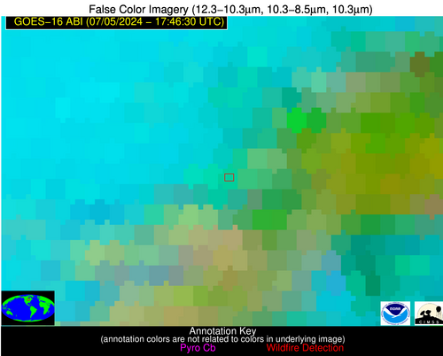
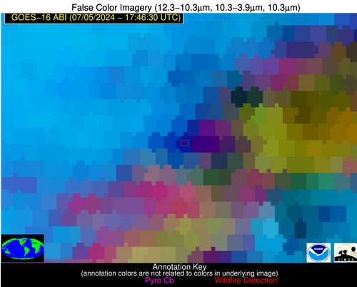
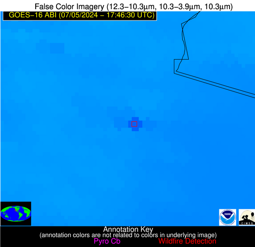
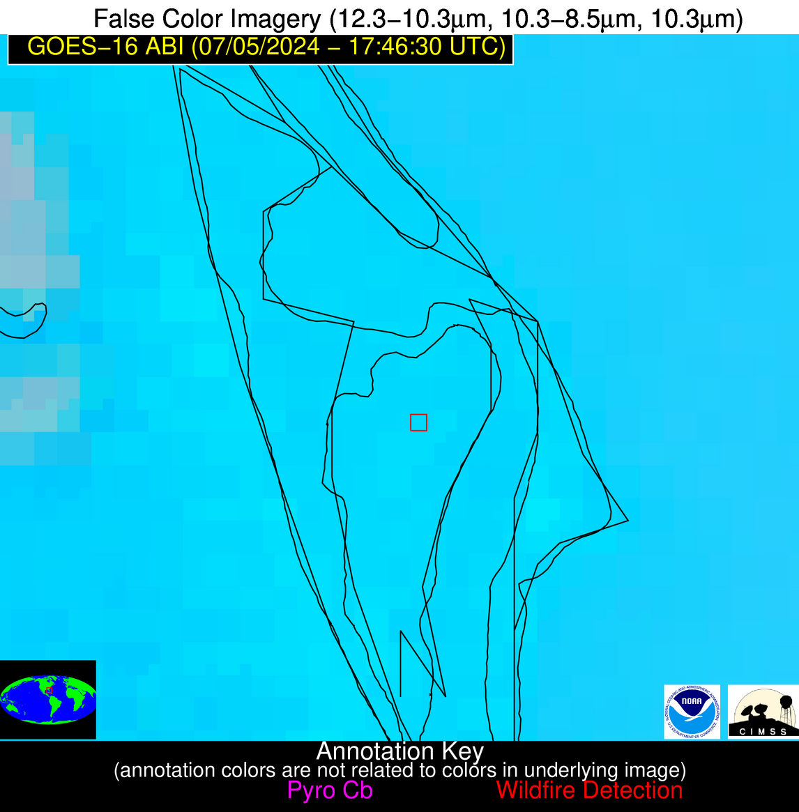
Possible Wildfire
| Basic Information | |
|---|---|
| State/Province(s) | MN |
| Country/Countries | USA |
| County/Locality(s) | Lake County, MN |
| NWS WFO | Duluth MN |
| Identification Method | Enhanced Contextual (Cloud) |
| Mean Object Date/Time | 2024-07-05 17:46:22UTC |
| Radiative Center (Lat, Lon): | 47.530000°, -91.700000° |
| Nearby Counties (meeting alert criteria): |
|
| Total Radiative Power Anomaly | n/a |
| Total Radiative Power | 55.69 MW |
| Map: | |
| Additional Information | |
| Alert Status | New Feature |
| Type of Event | Nominal Risk |
| Event Priority Ranking | 4 |
| Maximum Observed BT (3.9 um) | 300.17 K |
| Observed - Background BT (3.9 um) | 9.40 K |
| BT Anomaly (3.9 um) | 5.49 K |
| Maximum Observed - Clear RTM BT (3.9 um) | 11.41 K |
| Maximum Observed BTD (3.9-10/11/12 um) | 31.21 K |
| Observed - Background BTD (3.9-10/11/12 um) | 9.56 K |
| BTD Anomaly (3.9-10/11/12 um) | 3.91 K |
| Similar Pixel Count | 0 |
| BT Time Tendency (3.9 um) | 1.20 K |
| Image Interval | 5.00 minutes |
| Fraction of Surrounding LWIR Pixels that are Colder | 0.44 |
| Fraction of Surrounding Red Channel Pixels that are Brighter | 0.69 |
| Maximum Radiative Power | 55.69 MW |
| Maximum Radiative Power Uncertainty | 0.00 MW |
| Total Radiative Power Uncertainty | 0.00 MW |
| Mean Viewing Angle | 57.30° |
| Mean Solar Zenith Angle | 25.10° |
| Mean Glint Angle | 82.20° |
| Water Fraction | 0.00 |
| Total Pixel Area | 8.90 km2 |
| Latest Satellite Imagery: | |
| View all event imagery » | |
Possible Wildfire
| Basic Information | |
|---|---|
| State/Province(s) | Unknown |
| Country/Countries | Mexico |
| County/Locality(s) | Mexico |
| NWS WFO | N/A |
| Identification Method | Enhanced Contextual (Clear) |
| Mean Object Date/Time | 2024-07-05 17:47:19UTC |
| Radiative Center (Lat, Lon): | 32.380000°, -114.910000° |
| Nearby Counties (meeting alert criteria): |
|
| Total Radiative Power Anomaly | n/a |
| Total Radiative Power | 75.62 MW |
| Map: | |
| Additional Information | |
| Alert Status | New Feature |
| Type of Event | Nominal Risk |
| Event Priority Ranking | 4 |
| Maximum Observed BT (3.9 um) | 329.09 K |
| Observed - Background BT (3.9 um) | 6.89 K |
| BT Anomaly (3.9 um) | 4.12 K |
| Maximum Observed - Clear RTM BT (3.9 um) | 11.49 K |
| Maximum Observed BTD (3.9-10/11/12 um) | 22.74 K |
| Observed - Background BTD (3.9-10/11/12 um) | 7.49 K |
| BTD Anomaly (3.9-10/11/12 um) | 7.96 K |
| Similar Pixel Count | 20 |
| BT Time Tendency (3.9 um) | 5.70 K |
| Image Interval | 5.00 minutes |
| Fraction of Surrounding LWIR Pixels that are Colder | 0.15 |
| Fraction of Surrounding Red Channel Pixels that are Brighter | 0.99 |
| Maximum Radiative Power | 75.62 MW |
| Maximum Radiative Power Uncertainty | 0.00 MW |
| Total Radiative Power Uncertainty | 0.00 MW |
| Mean Viewing Angle | 57.10° |
| Mean Solar Zenith Angle | 27.60° |
| Mean Glint Angle | 83.30° |
| Water Fraction | 0.00 |
| Total Pixel Area | 10.00 km2 |
| Latest Satellite Imagery: | |
| View all event imagery » | |
Possible Wildfire
| Basic Information | |
|---|---|
| State/Province(s) | FL |
| Country/Countries | USA |
| County/Locality(s) | Brevard County, FL |
| NWS WFO | Melbourne FL |
| Identification Method | Enhanced Contextual (Cloud) |
| Mean Object Date/Time | 2024-07-05 17:47:53UTC |
| Radiative Center (Lat, Lon): | 28.520000°, -80.670000° |
| Nearby Counties (meeting alert criteria): |
|
| Total Radiative Power Anomaly | n/a |
| Total Radiative Power | 80.43 MW |
| Map: | |
| Additional Information | |
| Alert Status | New Feature |
| Type of Event | Likely a Solar Farm |
| Event Priority Ranking | 4 |
| Maximum Observed BT (3.9 um) | 320.05 K |
| Observed - Background BT (3.9 um) | 11.76 K |
| BT Anomaly (3.9 um) | 3.71 K |
| Maximum Observed - Clear RTM BT (3.9 um) | 16.87 K |
| Maximum Observed BTD (3.9-10/11/12 um) | 24.83 K |
| Observed - Background BTD (3.9-10/11/12 um) | 10.88 K |
| BTD Anomaly (3.9-10/11/12 um) | 4.38 K |
| Similar Pixel Count | 0 |
| BT Time Tendency (3.9 um) | 5.20 K |
| Image Interval | 5.00 minutes |
| Fraction of Surrounding LWIR Pixels that are Colder | 0.90 |
| Fraction of Surrounding Red Channel Pixels that are Brighter | 0.00 |
| Maximum Radiative Power | 41.01 MW |
| Maximum Radiative Power Uncertainty | 0.00 MW |
| Total Radiative Power Uncertainty | 0.00 MW |
| Mean Viewing Angle | 34.00° |
| Mean Solar Zenith Angle | 7.20° |
| Mean Glint Angle | 38.90° |
| Water Fraction | 0.00 |
| Total Pixel Area | 10.20 km2 |
| Latest Satellite Imagery: | |
| View all event imagery » | |


