Wildfire Alert Report
| Date: | 2024-06-30 |
|---|---|
| Time: | 00:20:21 |
| Production Date and Time: | 2024-06-30 00:31:41 UTC |
| Primary Instrument: | GOES-18 ABI |
| Wmo Spacecraft Id: | 665 |
| Location/orbit: | GEO |
| L1 File: | OR_ABI-L1b-RadF-M6C14_G18_s20241820020216_e20241820029524_c20241820029595.nc |
| L1 File(s) - Temporal | OR_ABI-L1b-RadF-M6C14_G18_s20241820010216_e20241820019524_c20241820019592.nc |
| Number Of Thermal Anomaly Alerts: | 1 |
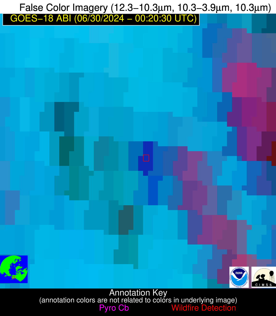
Possible Wildfire
| Basic Information | |
|---|---|
| State/Province(s) | AK |
| Country/Countries | USA |
| County/Locality(s) | Matanuska-Susitna Borough, AK |
| NWS WFO | Unknown |
| Identification Method | Enhanced Contextual (Cloud) |
| Mean Object Date/Time | 2024-06-30 00:20:24UTC |
| Radiative Center (Lat, Lon): | 62.130000°, -150.030000° |
| Nearby Counties (meeting alert criteria): |
|
| Total Radiative Power Anomaly | n/a |
| Total Radiative Power | 147.86 MW |
| Map: | |
| Additional Information | |
| Alert Status | New Feature |
| Type of Event | Nominal Risk, Known Incident: MONTANA CREEK (MEDIUM, tdiff=0.00123 days, POINT) |
| Event Priority Ranking | 4 |
| Maximum Observed BT (3.9 um) | 302.68 K |
| Observed - Background BT (3.9 um) | 12.33 K |
| BT Anomaly (3.9 um) | 8.33 K |
| Maximum Observed - Clear RTM BT (3.9 um) | 13.06 K |
| Maximum Observed BTD (3.9-10/11/12 um) | 28.70 K |
| Observed - Background BTD (3.9-10/11/12 um) | 12.35 K |
| BTD Anomaly (3.9-10/11/12 um) | 5.90 K |
| Similar Pixel Count | 0 |
| BT Time Tendency (3.9 um) | 8.90 K |
| Image Interval | 10.00 minutes |
| Fraction of Surrounding LWIR Pixels that are Colder | 0.28 |
| Fraction of Surrounding Red Channel Pixels that are Brighter | 0.40 |
| Maximum Radiative Power | 147.86 MW |
| Maximum Radiative Power Uncertainty | 0.00 MW |
| Total Radiative Power Uncertainty | 0.00 MW |
| Mean Viewing Angle | 71.70° |
| Mean Solar Zenith Angle | 45.30° |
| Mean Glint Angle | 95.80° |
| Water Fraction | 0.00 |
| Total Pixel Area | 15.90 km2 |
| Latest Satellite Imagery: | |
| View all event imagery » | |


