Wildfire Alert Report
| Date: | 2024-06-29 |
|---|---|
| Time: | 00:50:21 |
| Production Date and Time: | 2024-06-29 01:01:40 UTC |
| Primary Instrument: | GOES-18 ABI |
| Wmo Spacecraft Id: | 665 |
| Location/orbit: | GEO |
| L1 File: | OR_ABI-L1b-RadF-M6C14_G18_s20241810050214_e20241810059522_c20241810059577.nc |
| L1 File(s) - Temporal | OR_ABI-L1b-RadF-M6C14_G18_s20241810040214_e20241810049522_c20241810049586.nc |
| Number Of Thermal Anomaly Alerts: | 3 |
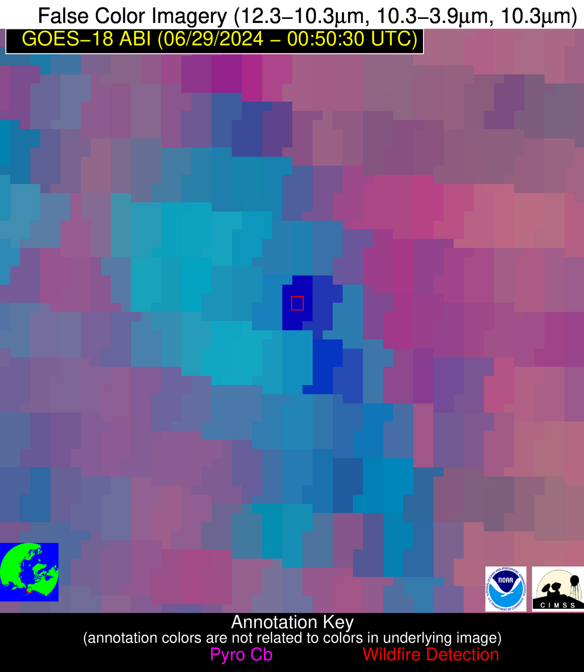
Possible Wildfire
| Basic Information | |
|---|---|
| State/Province(s) | Yukon |
| Country/Countries | Canada |
| County/Locality(s) | Canada |
| NWS WFO | N/A |
| Identification Method | Enhanced Contextual (Clear) |
| Mean Object Date/Time | 2024-06-29 00:50:24UTC |
| Radiative Center (Lat, Lon): | 63.100000°, -140.150000° |
| Nearby Counties (meeting alert criteria): |
|
| Total Radiative Power Anomaly | n/a |
| Total Radiative Power | 48.33 MW |
| Map: | |
| Additional Information | |
| Alert Status | New Feature |
| Type of Event | Nominal Risk |
| Event Priority Ranking | 4 |
| Maximum Observed BT (3.9 um) | 300.26 K |
| Observed - Background BT (3.9 um) | 6.11 K |
| BT Anomaly (3.9 um) | 5.11 K |
| Maximum Observed - Clear RTM BT (3.9 um) | 10.67 K |
| Maximum Observed BTD (3.9-10/11/12 um) | 15.88 K |
| Observed - Background BTD (3.9-10/11/12 um) | 6.06 K |
| BTD Anomaly (3.9-10/11/12 um) | 4.82 K |
| Similar Pixel Count | 18 |
| BT Time Tendency (3.9 um) | 2.70 K |
| Image Interval | 10.00 minutes |
| Fraction of Surrounding LWIR Pixels that are Colder | 0.80 |
| Fraction of Surrounding Red Channel Pixels that are Brighter | 0.73 |
| Maximum Radiative Power | 48.33 MW |
| Maximum Radiative Power Uncertainty | 0.00 MW |
| Total Radiative Power Uncertainty | 0.00 MW |
| Mean Viewing Angle | 72.00° |
| Mean Solar Zenith Angle | 52.40° |
| Mean Glint Angle | 94.70° |
| Water Fraction | 0.00 |
| Total Pixel Area | 15.40 km2 |
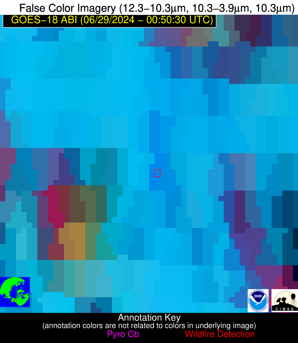
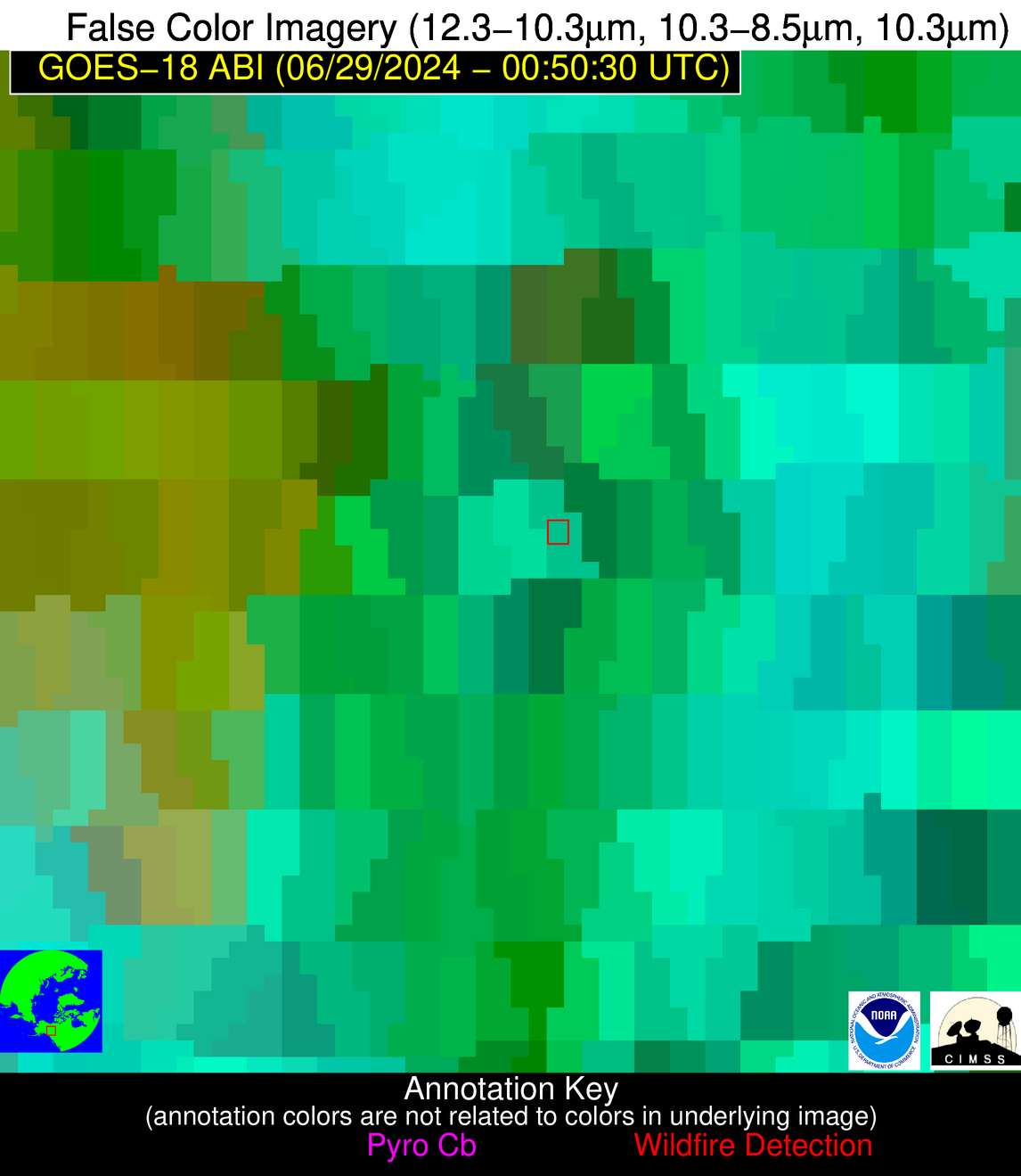
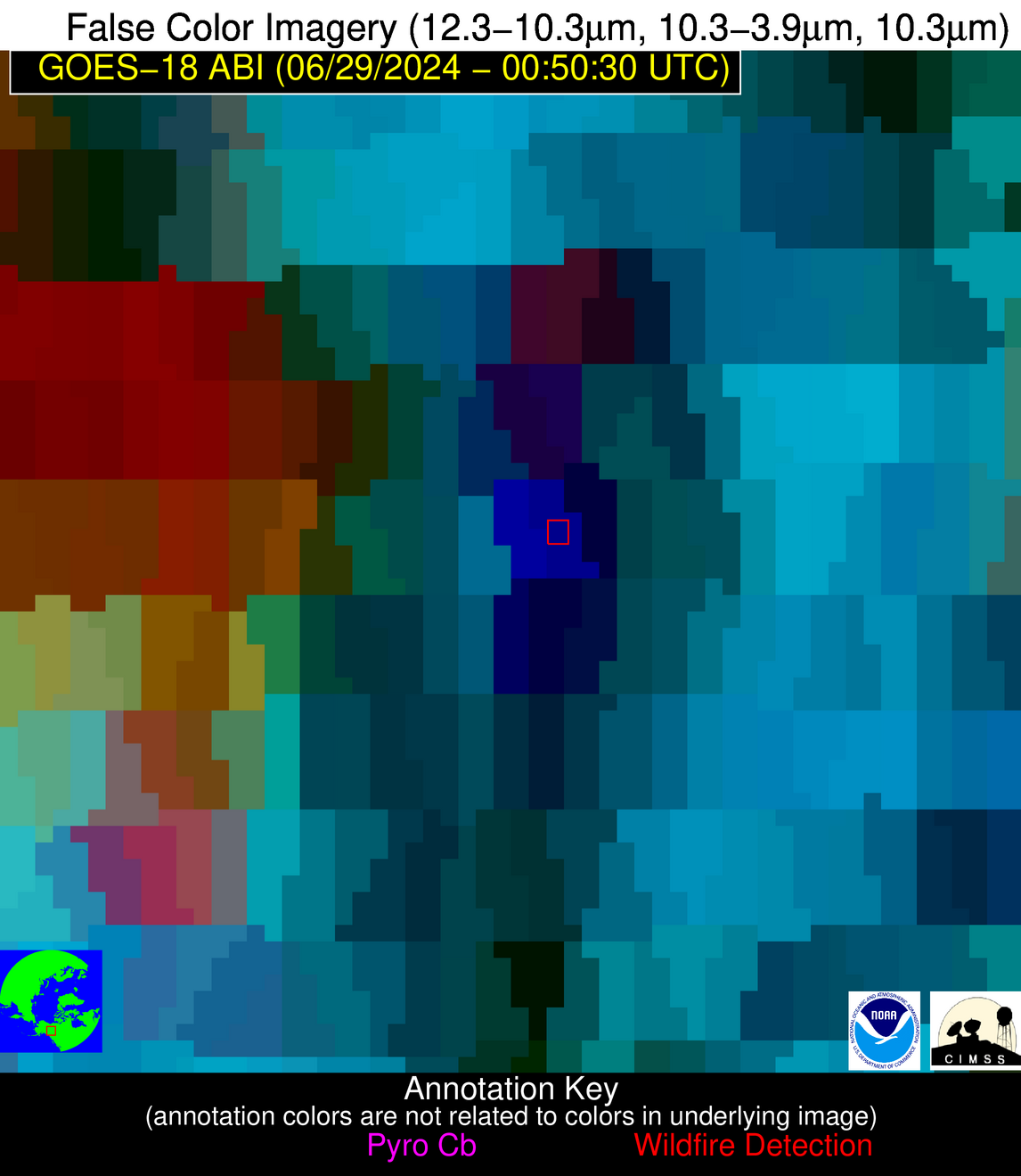
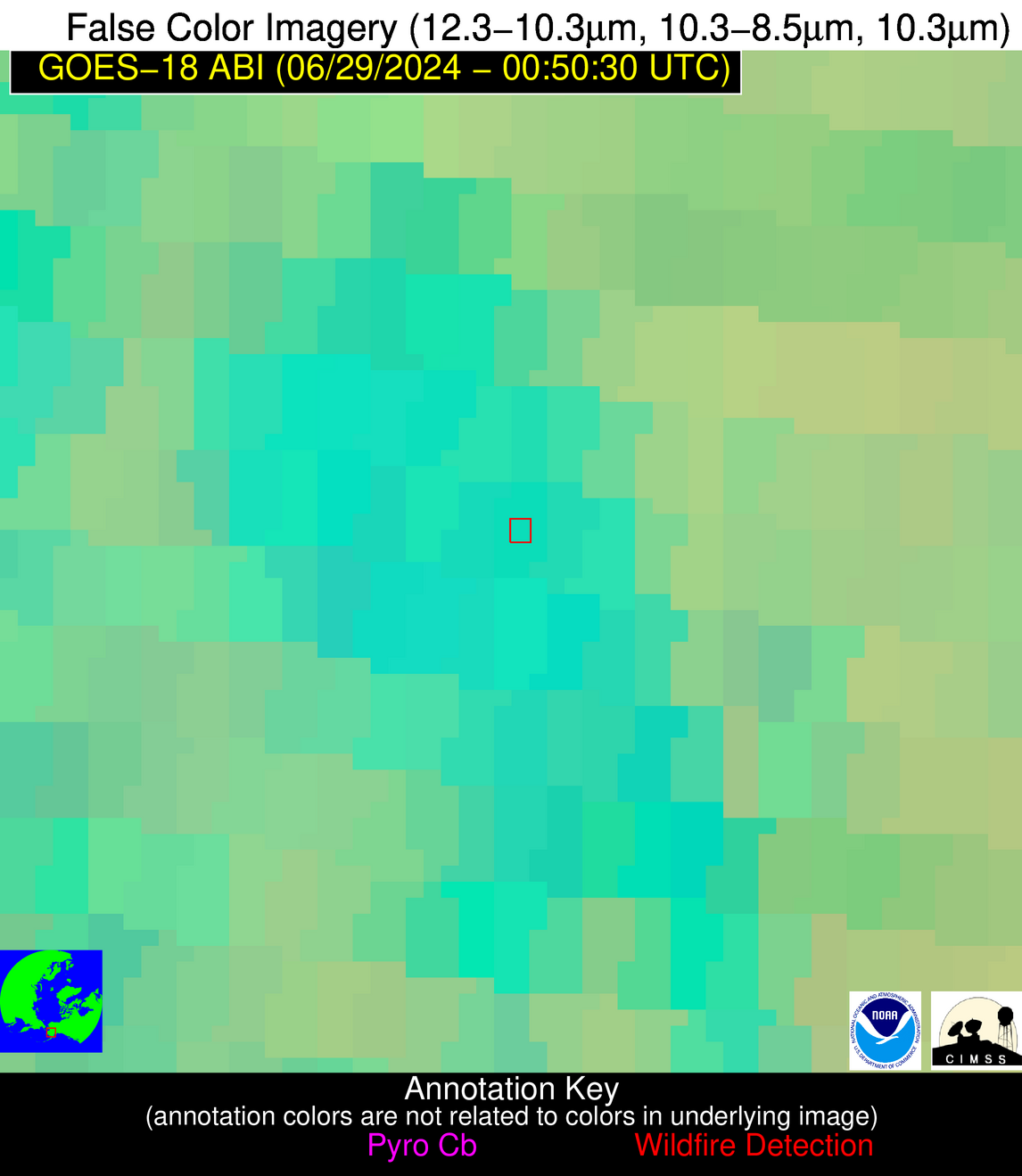
| Latest Satellite Imagery: | |
| View all event imagery » | |
Possible Wildfire
| Basic Information | |
|---|---|
| State/Province(s) | Yukon |
| Country/Countries | Canada |
| County/Locality(s) | Canada |
| NWS WFO | N/A |
| Identification Method | Enhanced Contextual (Cloud) |
| Mean Object Date/Time | 2024-06-29 00:50:25UTC |
| Radiative Center (Lat, Lon): | 63.160000°, -134.380000° |
| Nearby Counties (meeting alert criteria): |
|
| Total Radiative Power Anomaly | n/a |
| Total Radiative Power | 957.99 MW |
| Map: | |
| Additional Information | |
| Alert Status | New Feature |
| Type of Event | Nominal Risk |
| Event Priority Ranking | 4 |
| Maximum Observed BT (3.9 um) | 316.15 K |
| Observed - Background BT (3.9 um) | 30.70 K |
| BT Anomaly (3.9 um) | 13.28 K |
| Maximum Observed - Clear RTM BT (3.9 um) | 30.54 K |
| Maximum Observed BTD (3.9-10/11/12 um) | 51.09 K |
| Observed - Background BTD (3.9-10/11/12 um) | 30.89 K |
| BTD Anomaly (3.9-10/11/12 um) | 12.58 K |
| Similar Pixel Count | 0 |
| BT Time Tendency (3.9 um) | 23.40 K |
| Image Interval | 10.00 minutes |
| Fraction of Surrounding LWIR Pixels that are Colder | 0.62 |
| Fraction of Surrounding Red Channel Pixels that are Brighter | 0.83 |
| Maximum Radiative Power | 397.21 MW |
| Maximum Radiative Power Uncertainty | 0.00 MW |
| Total Radiative Power Uncertainty | 0.00 MW |
| Mean Viewing Angle | 72.00° |
| Mean Solar Zenith Angle | 54.80° |
| Mean Glint Angle | 96.20° |
| Water Fraction | 0.00 |
| Total Pixel Area | 46.30 km2 |
| Latest Satellite Imagery: | |
| View all event imagery » | |
Possible Wildfire
| Basic Information | |
|---|---|
| State/Province(s) | AK |
| Country/Countries | USA |
| County/Locality(s) | Bethel Census Area, AK |
| NWS WFO | Unknown |
| Identification Method | Enhanced Contextual (Cloud) |
| Mean Object Date/Time | 2024-06-29 00:50:38UTC |
| Radiative Center (Lat, Lon): | 61.720000°, -158.030000° |
| Nearby Counties (meeting alert criteria): |
|
| Total Radiative Power Anomaly | n/a |
| Total Radiative Power | 497.80 MW |
| Map: | |
| Additional Information | |
| Alert Status | New Feature |
| Type of Event | Nominal Risk, Known Incident: OSKAWALIK RIVER (MEDIUM, tdiff=0.04272 days, PERIMETER) |
| Event Priority Ranking | 4 |
| Maximum Observed BT (3.9 um) | 311.17 K |
| Observed - Background BT (3.9 um) | 22.10 K |
| BT Anomaly (3.9 um) | 16.00 K |
| Maximum Observed - Clear RTM BT (3.9 um) | 25.35 K |
| Maximum Observed BTD (3.9-10/11/12 um) | 36.31 K |
| Observed - Background BTD (3.9-10/11/12 um) | 21.66 K |
| BTD Anomaly (3.9-10/11/12 um) | 9.72 K |
| Similar Pixel Count | 0 |
| BT Time Tendency (3.9 um) | 18.90 K |
| Image Interval | 10.00 minutes |
| Fraction of Surrounding LWIR Pixels that are Colder | 0.96 |
| Fraction of Surrounding Red Channel Pixels that are Brighter | 0.83 |
| Maximum Radiative Power | 228.95 MW |
| Maximum Radiative Power Uncertainty | 0.00 MW |
| Total Radiative Power Uncertainty | 0.00 MW |
| Mean Viewing Angle | 72.60° |
| Mean Solar Zenith Angle | 44.80° |
| Mean Glint Angle | 90.90° |
| Water Fraction | 0.00 |
| Total Pixel Area | 54.20 km2 |
| Latest Satellite Imagery: | |
| View all event imagery » | |

