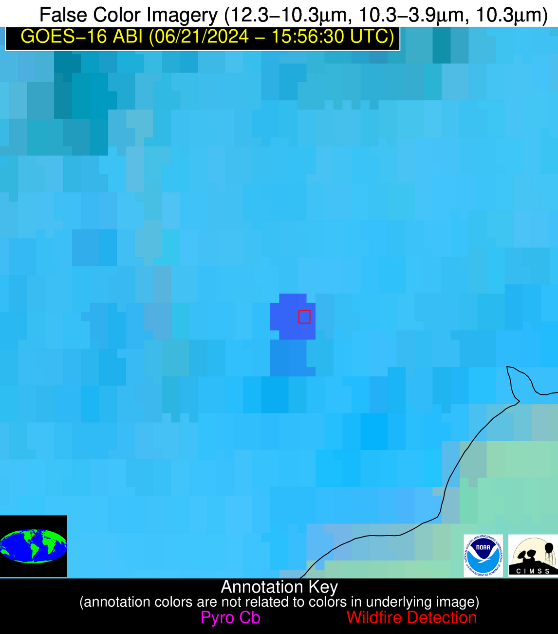
Wildfire Alert Report
| Date: | 2024-06-21 |
|---|---|
| Time: | 15:56:18 |
| Production Date and Time: | 2024-06-21 16:00:57 UTC |
| Primary Instrument: | GOES-16 ABI |
| Wmo Spacecraft Id: | 152 |
| Location/orbit: | GEO |
| L1 File: | OR_ABI-L1b-RadC-M6C14_G16_s20241731556188_e20241731558561_c20241731559052.nc |
| L1 File(s) - Temporal | OR_ABI-L1b-RadC-M6C14_G16_s20241731551188_e20241731553561_c20241731554043.nc |
| Number Of Thermal Anomaly Alerts: | 3 |
Possible Wildfire
| Basic Information | |
|---|---|
| State/Province(s) | Quebec |
| Country/Countries | Canada |
| County/Locality(s) | Canada |
| NWS WFO | N/A |
| Identification Method | Enhanced Contextual (Cloud) |
| Mean Object Date/Time | 2024-06-21 15:56:24UTC |
| Radiative Center (Lat, Lon): | 50.230000°, -66.940000° |
| Nearby Counties (meeting alert criteria): |
|
| Total Radiative Power Anomaly | n/a |
| Total Radiative Power | 117.28 MW |
| Map: | |
| Additional Information | |
| Alert Status | New Feature |
| Type of Event | Nominal Risk |
| Event Priority Ranking | 4 |
| Maximum Observed BT (3.9 um) | 308.25 K |
| Observed - Background BT (3.9 um) | 12.68 K |
| BT Anomaly (3.9 um) | 8.91 K |
| Maximum Observed - Clear RTM BT (3.9 um) | 19.19 K |
| Maximum Observed BTD (3.9-10/11/12 um) | 19.80 K |
| Observed - Background BTD (3.9-10/11/12 um) | 12.74 K |
| BTD Anomaly (3.9-10/11/12 um) | 16.71 K |
| Similar Pixel Count | 0 |
| BT Time Tendency (3.9 um) | 11.20 K |
| Image Interval | 5.00 minutes |
| Fraction of Surrounding LWIR Pixels that are Colder | 0.58 |
| Fraction of Surrounding Red Channel Pixels that are Brighter | 1.00 |
| Maximum Radiative Power | 59.97 MW |
| Maximum Radiative Power Uncertainty | 0.00 MW |
| Total Radiative Power Uncertainty | 0.00 MW |
| Mean Viewing Angle | 58.40° |
| Mean Solar Zenith Angle | 27.50° |
| Mean Glint Angle | 83.40° |
| Water Fraction | 0.00 |
| Total Pixel Area | 17.70 km2 |
| Latest Satellite Imagery: | |
| View all event imagery » | |
Possible Wildfire
| Basic Information | |
|---|---|
| State/Province(s) | Quebec |
| Country/Countries | Canada |
| County/Locality(s) | Canada |
| NWS WFO | N/A |
| Identification Method | Enhanced Contextual (Clear) |
| Mean Object Date/Time | 2024-06-21 15:56:24UTC |
| Radiative Center (Lat, Lon): | 49.340000°, -71.530000° |
| Nearby Counties (meeting alert criteria): |
|
| Total Radiative Power Anomaly | n/a |
| Total Radiative Power | 10.43 MW |
| Map: | |
| Additional Information | |
| Alert Status | New Feature |
| Type of Event | Nominal Risk |
| Event Priority Ranking | 4 |
| Maximum Observed BT (3.9 um) | 297.76 K |
| Observed - Background BT (3.9 um) | 4.01 K |
| BT Anomaly (3.9 um) | 3.65 K |
| Maximum Observed - Clear RTM BT (3.9 um) | 9.11 K |
| Maximum Observed BTD (3.9-10/11/12 um) | 10.46 K |
| Observed - Background BTD (3.9-10/11/12 um) | 2.65 K |
| BTD Anomaly (3.9-10/11/12 um) | 2.76 K |
| Similar Pixel Count | 22 |
| BT Time Tendency (3.9 um) | 1.20 K |
| Image Interval | 5.00 minutes |
| Fraction of Surrounding LWIR Pixels that are Colder | 0.98 |
| Fraction of Surrounding Red Channel Pixels that are Brighter | 1.00 |
| Maximum Radiative Power | 10.43 MW |
| Maximum Radiative Power Uncertainty | 0.00 MW |
| Total Radiative Power Uncertainty | 0.00 MW |
| Mean Viewing Angle | 57.00° |
| Mean Solar Zenith Angle | 27.70° |
| Mean Glint Angle | 81.60° |
| Water Fraction | 0.00 |
| Total Pixel Area | 8.40 km2 |
| Latest Satellite Imagery: | |
| View all event imagery » | |
Possible Wildfire
| Basic Information | |
|---|---|
| State/Province(s) | OK |
| Country/Countries | USA |
| County/Locality(s) | Kay County, OK |
| NWS WFO | Norman OK |
| Identification Method | Enhanced Contextual (Cloud) |
| Mean Object Date/Time | 2024-06-21 15:56:51UTC |
| Radiative Center (Lat, Lon): | 36.650000°, -97.440000° |
| Nearby Counties (meeting alert criteria): |
|
| Total Radiative Power Anomaly | n/a |
| Total Radiative Power | 96.74 MW |
| Map: | |
| Additional Information | |
| Alert Status | New Feature |
| Type of Event | Nominal Risk |
| Event Priority Ranking | 4 |
| Maximum Observed BT (3.9 um) | 323.29 K |
| Observed - Background BT (3.9 um) | 15.64 K |
| BT Anomaly (3.9 um) | 13.92 K |
| Maximum Observed - Clear RTM BT (3.9 um) | 23.45 K |
| Maximum Observed BTD (3.9-10/11/12 um) | 38.09 K |
| Observed - Background BTD (3.9-10/11/12 um) | 16.04 K |
| BTD Anomaly (3.9-10/11/12 um) | 12.83 K |
| Similar Pixel Count | 0 |
| BT Time Tendency (3.9 um) | 13.80 K |
| Image Interval | 5.00 minutes |
| Fraction of Surrounding LWIR Pixels that are Colder | 0.68 |
| Fraction of Surrounding Red Channel Pixels that are Brighter | 0.48 |
| Maximum Radiative Power | 96.74 MW |
| Maximum Radiative Power Uncertainty | 0.00 MW |
| Total Radiative Power Uncertainty | 0.00 MW |
| Mean Viewing Angle | 48.80° |
| Mean Solar Zenith Angle | 35.70° |
| Mean Glint Angle | 77.00° |
| Water Fraction | 0.00 |
| Total Pixel Area | 7.10 km2 |
| Latest Satellite Imagery: | |
| View all event imagery » | |


