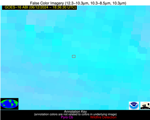
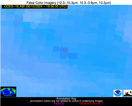
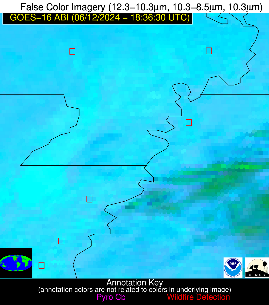
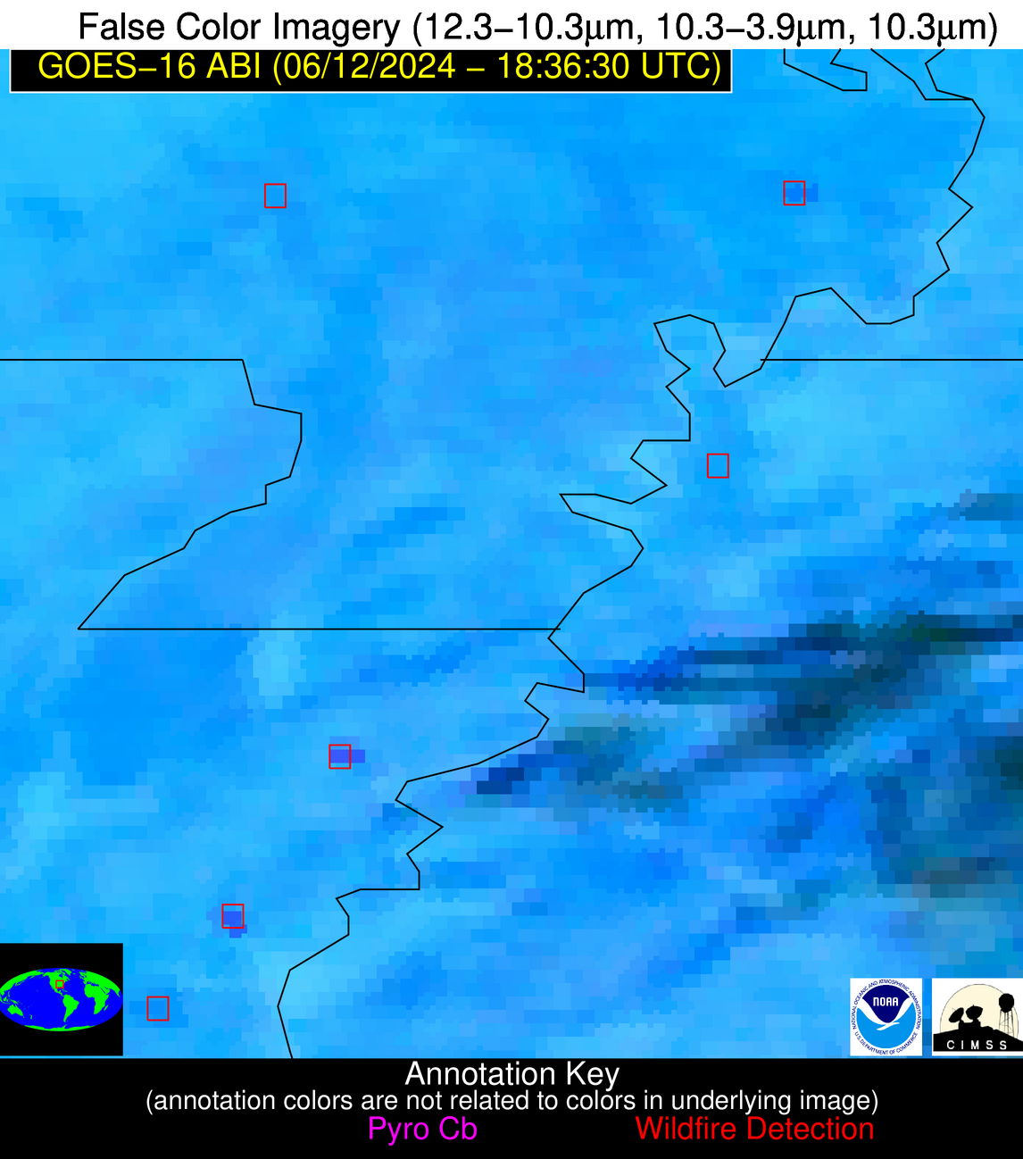
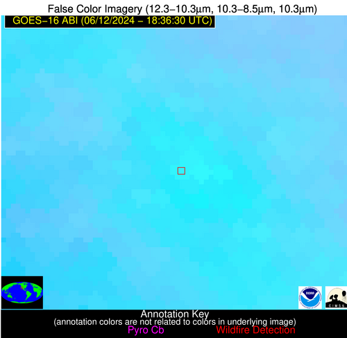
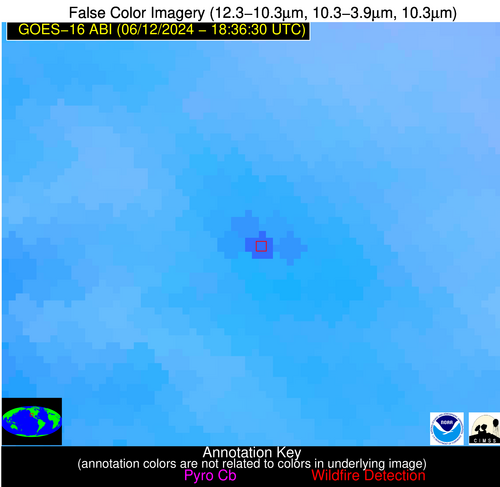
Wildfire Alert Report
| Date: | 2024-06-12 |
|---|---|
| Time: | 18:36:17 |
| Production Date and Time: | 2024-06-12 18:41:04 UTC |
| Primary Instrument: | GOES-16 ABI |
| Wmo Spacecraft Id: | 152 |
| Location/orbit: | GEO |
| L1 File: | OR_ABI-L1b-RadC-M6C14_G16_s20241641836174_e20241641838546_c20241641839027.nc |
| L1 File(s) - Temporal | OR_ABI-L1b-RadC-M6C14_G16_s20241641831174_e20241641833546_c20241641834029.nc |
| Number Of Thermal Anomaly Alerts: | 4 |
Possible Wildfire
| Basic Information | |
|---|---|
| State/Province(s) | WA |
| Country/Countries | USA |
| County/Locality(s) | Benton County, WA |
| NWS WFO | Pendleton OR |
| Identification Method | Enhanced Contextual (Clear) |
| Mean Object Date/Time | 2024-06-12 18:36:19UTC |
| Radiative Center (Lat, Lon): | 46.500°, -119.660° |
| Nearby Counties (meeting alert criteria): |
|
| Total Radiative Power Anomaly | n/a |
| Total Radiative Power | 59.56 MW |
| Map: | |
| Additional Information | |
| Alert Status | New Feature |
| Type of Event | Nominal Risk |
| Event Priority Ranking | 4 |
| Maximum Observed BT (3.9 um) | 315.91 K |
| Observed - Background BT (3.9 um) | 3.92 K |
| BT Anomaly (3.9 um) | 3.17 K |
| Maximum Observed - Clear RTM BT (3.9 um) | 16.47 K |
| Maximum Observed BTD (3.9-10/11/12 um) | 13.71 K |
| Observed - Background BTD (3.9-10/11/12 um) | 3.40 K |
| BTD Anomaly (3.9-10/11/12 um) | 3.81 K |
| Similar Pixel Count | 25 |
| BT Time Tendency (3.9 um) | 3.10 K |
| Image Interval | 5.00 minutes |
| Fraction of Surrounding LWIR Pixels that are Colder | 0.85 |
| Fraction of Surrounding Red Channel Pixels that are Brighter | 0.99 |
| Maximum Radiative Power | 31.24 MW |
| Maximum Radiative Power Uncertainty | 0.00 MW |
| Total Radiative Power Uncertainty | 0.00 MW |
| Mean Viewing Angle | 69.20° |
| Mean Solar Zenith Angle | 28.50° |
| Mean Glint Angle | 97.20° |
| Water Fraction | 0.00 |
| Total Pixel Area | 39.80 km2 |
| Latest Satellite Imagery: | |
| View all event imagery » | |
Possible Wildfire
| Basic Information | |
|---|---|
| State/Province(s) | MO |
| Country/Countries | USA |
| County/Locality(s) | Mississippi County, MO |
| NWS WFO | Paducah KY |
| Identification Method | Enhanced Contextual (Clear) |
| Mean Object Date/Time | 2024-06-12 18:36:51UTC |
| Radiative Center (Lat, Lon): | 36.810°, -89.370° |
| Nearby Counties (meeting alert criteria): |
|
| Total Radiative Power Anomaly | n/a |
| Total Radiative Power | 47.83 MW |
| Map: | |
| Additional Information | |
| Alert Status | New Feature |
| Type of Event | Nominal Risk |
| Event Priority Ranking | 4 |
| Maximum Observed BT (3.9 um) | 315.86 K |
| Observed - Background BT (3.9 um) | 6.46 K |
| BT Anomaly (3.9 um) | 3.80 K |
| Maximum Observed - Clear RTM BT (3.9 um) | 16.56 K |
| Maximum Observed BTD (3.9-10/11/12 um) | 18.05 K |
| Observed - Background BTD (3.9-10/11/12 um) | 6.04 K |
| BTD Anomaly (3.9-10/11/12 um) | 6.10 K |
| Similar Pixel Count | 14 |
| BT Time Tendency (3.9 um) | 3.00 K |
| Image Interval | 5.00 minutes |
| Fraction of Surrounding LWIR Pixels that are Colder | 0.64 |
| Fraction of Surrounding Red Channel Pixels that are Brighter | 0.99 |
| Maximum Radiative Power | 24.60 MW |
| Maximum Radiative Power Uncertainty | 0.00 MW |
| Total Radiative Power Uncertainty | 0.00 MW |
| Mean Viewing Angle | 45.50° |
| Mean Solar Zenith Angle | 16.10° |
| Mean Glint Angle | 55.40° |
| Water Fraction | 0.00 |
| Total Pixel Area | 12.80 km2 |
| Latest Satellite Imagery: | |
| View all event imagery » | |
Possible Wildfire
| Basic Information | |
|---|---|
| State/Province(s) | AR |
| Country/Countries | USA |
| County/Locality(s) | Mississippi County, AR |
| NWS WFO | Memphis TN |
| Identification Method | Enhanced Contextual (Cloud) |
| Mean Object Date/Time | 2024-06-12 18:37:21UTC |
| Radiative Center (Lat, Lon): | 35.470°, -90.160° |
| Nearby Counties (meeting alert criteria): |
|
| Total Radiative Power Anomaly | n/a |
| Total Radiative Power | 101.52 MW |
| Map: | |
| Additional Information | |
| Alert Status | New Feature |
| Type of Event | Nominal Risk |
| Event Priority Ranking | 4 |
| Maximum Observed BT (3.9 um) | 320.32 K |
| Observed - Background BT (3.9 um) | 12.07 K |
| BT Anomaly (3.9 um) | 5.90 K |
| Maximum Observed - Clear RTM BT (3.9 um) | 21.74 K |
| Maximum Observed BTD (3.9-10/11/12 um) | 21.26 K |
| Observed - Background BTD (3.9-10/11/12 um) | 11.68 K |
| BTD Anomaly (3.9-10/11/12 um) | 9.49 K |
| Similar Pixel Count | 0 |
| BT Time Tendency (3.9 um) | 7.70 K |
| Image Interval | 5.00 minutes |
| Fraction of Surrounding LWIR Pixels that are Colder | 0.75 |
| Fraction of Surrounding Red Channel Pixels that are Brighter | 0.97 |
| Maximum Radiative Power | 56.01 MW |
| Maximum Radiative Power Uncertainty | 0.00 MW |
| Total Radiative Power Uncertainty | 0.00 MW |
| Mean Viewing Angle | 44.40° |
| Mean Solar Zenith Angle | 14.60° |
| Mean Glint Angle | 52.90° |
| Water Fraction | 0.00 |
| Total Pixel Area | 12.50 km2 |
| Latest Satellite Imagery: | |
| View all event imagery » | |
Possible Wildfire
| Basic Information | |
|---|---|
| State/Province(s) | Unknown |
| Country/Countries | Mexico |
| County/Locality(s) | Mexico |
| NWS WFO | N/A |
| Identification Method | Enhanced Contextual (Clear) |
| Mean Object Date/Time | 2024-06-12 18:37:18UTC |
| Radiative Center (Lat, Lon): | 31.910°, -116.260° |
| Nearby Counties (meeting alert criteria): |
|
| Total Radiative Power Anomaly | n/a |
| Total Radiative Power | 87.76 MW |
| Map: | |
| Additional Information | |
| Alert Status | New Feature |
| Type of Event | Nominal Risk |
| Event Priority Ranking | 4 |
| Maximum Observed BT (3.9 um) | 330.40 K |
| Observed - Background BT (3.9 um) | 10.85 K |
| BT Anomaly (3.9 um) | 7.06 K |
| Maximum Observed - Clear RTM BT (3.9 um) | 19.17 K |
| Maximum Observed BTD (3.9-10/11/12 um) | 18.89 K |
| Observed - Background BTD (3.9-10/11/12 um) | 9.96 K |
| BTD Anomaly (3.9-10/11/12 um) | 19.72 K |
| Similar Pixel Count | 3 |
| BT Time Tendency (3.9 um) | 6.30 K |
| Image Interval | 5.00 minutes |
| Fraction of Surrounding LWIR Pixels that are Colder | 0.94 |
| Fraction of Surrounding Red Channel Pixels that are Brighter | 0.11 |
| Maximum Radiative Power | 87.76 MW |
| Maximum Radiative Power Uncertainty | 0.00 MW |
| Total Radiative Power Uncertainty | 0.00 MW |
| Mean Viewing Angle | 57.90° |
| Mean Solar Zenith Angle | 17.40° |
| Mean Glint Angle | 75.20° |
| Water Fraction | 0.00 |
| Total Pixel Area | 10.40 km2 |
| Latest Satellite Imagery: | |
| View all event imagery » | |
