Wildfire Alert Report
| Date: | 2024-06-09 |
|---|---|
| Time: | 21:36:20 |
| Production Date and Time: | 2024-06-09 21:41:13 UTC |
| Primary Instrument: | GOES-18 ABI |
| Wmo Spacecraft Id: | 665 |
| Location/orbit: | GEO |
| L1 File: | OR_ABI-L1b-RadC-M6C14_G18_s20241612136201_e20241612138574_c20241612139059.nc |
| L1 File(s) - Temporal | OR_ABI-L1b-RadC-M6C14_G18_s20241612131201_e20241612133574_c20241612134080.nc |
| Number Of Thermal Anomaly Alerts: | 2 |
Possible Wildfire
| Basic Information | |
|---|---|
| State/Province(s) | NM |
| Country/Countries | USA |
| County/Locality(s) | Sandoval County, NM |
| NWS WFO | Albuquerque NM |
| Identification Method | Enhanced Contextual (Clear) |
| Mean Object Date/Time | 2024-06-09 21:37:27UTC |
| Radiative Center (Lat, Lon): | 35.810000°, -106.950000° |
| Nearby Counties (meeting alert criteria): |
|
| Total Radiative Power Anomaly | n/a |
| Total Radiative Power | 61.31 MW |
| Map: | |
| Additional Information | |
| Alert Status | New Feature |
| Type of Event | Nominal Risk |
| Event Priority Ranking | 4 |
| Maximum Observed BT (3.9 um) | 320.20 K |
| Observed - Background BT (3.9 um) | 11.03 K |
| BT Anomaly (3.9 um) | 7.38 K |
| Maximum Observed - Clear RTM BT (3.9 um) | 21.06 K |
| Maximum Observed BTD (3.9-10/11/12 um) | 38.83 K |
| Observed - Background BTD (3.9-10/11/12 um) | 23.43 K |
| BTD Anomaly (3.9-10/11/12 um) | 18.04 K |
| Similar Pixel Count | 11 |
| BT Time Tendency (3.9 um) | 0.80 K |
| Image Interval | 5.00 minutes |
| Fraction of Surrounding LWIR Pixels that are Colder | 1.00 |
| Fraction of Surrounding Red Channel Pixels that are Brighter | 0.95 |
| Maximum Radiative Power | 61.31 MW |
| Maximum Radiative Power Uncertainty | 0.00 MW |
| Total Radiative Power Uncertainty | 0.00 MW |
| Mean Viewing Angle | 52.60° |
| Mean Solar Zenith Angle | 34.80° |
| Mean Glint Angle | 82.90° |
| Water Fraction | 0.00 |
| Total Pixel Area | 8.20 km2 |
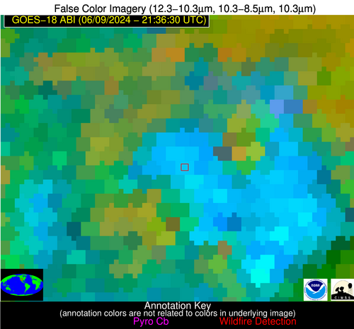
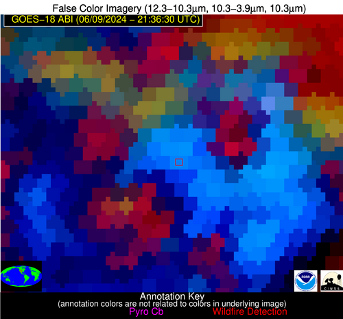
| Latest Satellite Imagery: | |
| View all event imagery » | |
Possible Wildfire
| Basic Information | |
|---|---|
| State/Province(s) | CA |
| Country/Countries | USA |
| County/Locality(s) | San Bernardino County, CA |
| NWS WFO | San Diego CA |
| Identification Method | Enhanced Contextual (Clear) |
| Mean Object Date/Time | 2024-06-09 21:37:26UTC |
| Radiative Center (Lat, Lon): | 34.150000°, -117.330000° |
| Nearby Counties (meeting alert criteria): |
|
| Total Radiative Power Anomaly | n/a |
| Total Radiative Power | 30.74 MW |
| Map: | |
| Additional Information | |
| Alert Status | New Feature |
| Type of Event | Likely an Urban Source |
| Event Priority Ranking | 5 |
| Maximum Observed BT (3.9 um) | 324.08 K |
| Observed - Background BT (3.9 um) | 5.22 K |
| BT Anomaly (3.9 um) | 3.49 K |
| Maximum Observed - Clear RTM BT (3.9 um) | 19.61 K |
| Maximum Observed BTD (3.9-10/11/12 um) | 18.14 K |
| Observed - Background BTD (3.9-10/11/12 um) | 4.44 K |
| BTD Anomaly (3.9-10/11/12 um) | 5.24 K |
| Similar Pixel Count | 19 |
| BT Time Tendency (3.9 um) | 3.80 K |
| Image Interval | 5.00 minutes |
| Fraction of Surrounding LWIR Pixels that are Colder | 0.93 |
| Fraction of Surrounding Red Channel Pixels that are Brighter | 0.71 |
| Maximum Radiative Power | 30.74 MW |
| Maximum Radiative Power Uncertainty | 0.00 MW |
| Total Radiative Power Uncertainty | 0.00 MW |
| Mean Viewing Angle | 45.10° |
| Mean Solar Zenith Angle | 26.10° |
| Mean Glint Angle | 67.00° |
| Water Fraction | 0.00 |
| Total Pixel Area | 6.40 km2 |
| Latest Satellite Imagery: | |
| View all event imagery » | |


