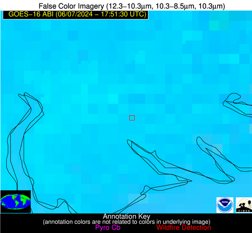
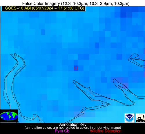
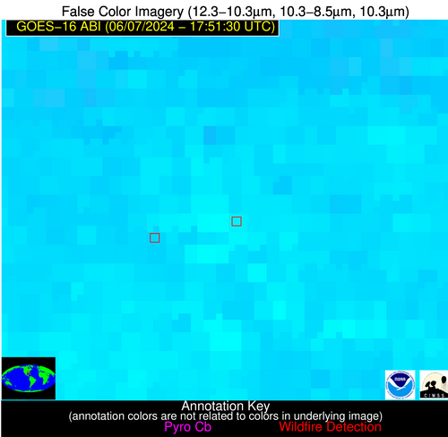
Wildfire Alert Report
| Date: | 2024-06-07 |
|---|---|
| Time: | 17:51:16 |
| Production Date and Time: | 2024-06-07 17:56:04 UTC |
| Primary Instrument: | GOES-16 ABI |
| Wmo Spacecraft Id: | 152 |
| Location/orbit: | GEO |
| L1 File: | OR_ABI-L1b-RadC-M6C14_G16_s20241591751161_e20241591753534_c20241591754019.nc |
| L1 File(s) - Temporal | OR_ABI-L1b-RadC-M6C14_G16_s20241591746161_e20241591748534_c20241591748599.nc |
| Number Of Thermal Anomaly Alerts: | 4 |
Possible Wildfire
| Basic Information | |
|---|---|
| State/Province(s) | ID |
| Country/Countries | USA |
| County/Locality(s) | Boundary County, ID |
| NWS WFO | Spokane WA |
| Identification Method | Enhanced Contextual (Clear) |
| Mean Object Date/Time | 2024-06-07 17:51:18UTC |
| Radiative Center (Lat, Lon): | 48.830000°, -116.530000° |
| Nearby Counties (meeting alert criteria): |
|
| Total Radiative Power Anomaly | n/a |
| Total Radiative Power | 16.11 MW |
| Map: | |
| Additional Information | |
| Alert Status | New Feature |
| Type of Event | Nominal Risk |
| Event Priority Ranking | 4 |
| Maximum Observed BT (3.9 um) | 296.65 K |
| Observed - Background BT (3.9 um) | 3.20 K |
| BT Anomaly (3.9 um) | 2.30 K |
| Maximum Observed - Clear RTM BT (3.9 um) | 9.38 K |
| Maximum Observed BTD (3.9-10/11/12 um) | 8.13 K |
| Observed - Background BTD (3.9-10/11/12 um) | 2.64 K |
| BTD Anomaly (3.9-10/11/12 um) | 4.18 K |
| Similar Pixel Count | 20 |
| BT Time Tendency (3.9 um) | 0.10 K |
| Image Interval | 5.00 minutes |
| Fraction of Surrounding LWIR Pixels that are Colder | 0.69 |
| Fraction of Surrounding Red Channel Pixels that are Brighter | 1.00 |
| Maximum Radiative Power | 16.11 MW |
| Maximum Radiative Power Uncertainty | 0.00 MW |
| Total Radiative Power Uncertainty | 0.00 MW |
| Mean Viewing Angle | 69.00° |
| Mean Solar Zenith Angle | 34.40° |
| Mean Glint Angle | 103.30° |
| Water Fraction | 0.00 |
| Total Pixel Area | 19.00 km2 |
| Latest Satellite Imagery: | |
| View all event imagery » | |
Possible Wildfire
| Basic Information | |
|---|---|
| State/Province(s) | Unknown |
| Country/Countries | Unknown |
| County/Locality(s) | Unknown |
| NWS WFO | N/A |
| Identification Method | Enhanced Contextual (Cloud) |
| Mean Object Date/Time | 2024-06-07 17:51:23UTC |
| Radiative Center (Lat, Lon): | 45.810000°, -63.440000° |
| Nearby Counties (meeting alert criteria): |
|
| Total Radiative Power Anomaly | n/a |
| Total Radiative Power | 34.12 MW |
| Map: | |
| Additional Information | |
| Alert Status | New Feature |
| Type of Event | Nominal Risk |
| Event Priority Ranking | 4 |
| Maximum Observed BT (3.9 um) | 300.84 K |
| Observed - Background BT (3.9 um) | 8.89 K |
| BT Anomaly (3.9 um) | 3.38 K |
| Maximum Observed - Clear RTM BT (3.9 um) | 19.60 K |
| Maximum Observed BTD (3.9-10/11/12 um) | 23.03 K |
| Observed - Background BTD (3.9-10/11/12 um) | 9.05 K |
| BTD Anomaly (3.9-10/11/12 um) | 3.61 K |
| Similar Pixel Count | 0 |
| BT Time Tendency (3.9 um) | 1.10 K |
| Image Interval | 5.00 minutes |
| Fraction of Surrounding LWIR Pixels that are Colder | 0.90 |
| Fraction of Surrounding Red Channel Pixels that are Brighter | 0.38 |
| Maximum Radiative Power | 34.12 MW |
| Maximum Radiative Power Uncertainty | 0.00 MW |
| Total Radiative Power Uncertainty | 0.00 MW |
| Mean Viewing Angle | 54.30° |
| Mean Solar Zenith Angle | 30.60° |
| Mean Glint Angle | 80.90° |
| Water Fraction | 1.00 |
| Total Pixel Area | 7.90 km2 |
| Latest Satellite Imagery: | |
| View all event imagery » | |
Possible Wildfire
| Basic Information | |
|---|---|
| State/Province(s) | NC |
| Country/Countries | USA |
| County/Locality(s) | Perquimans County, NC |
| NWS WFO | Wakefield VA |
| Identification Method | Enhanced Contextual (Clear) |
| Mean Object Date/Time | 2024-06-07 17:51:51UTC |
| Radiative Center (Lat, Lon): | 36.260000°, -76.450000° |
| Nearby Counties (meeting alert criteria): |
|
| Total Radiative Power Anomaly | n/a |
| Total Radiative Power | 34.52 MW |
| Map: | |
| Additional Information | |
| Alert Status | New Feature |
| Type of Event | Nominal Risk |
| Event Priority Ranking | 4 |
| Maximum Observed BT (3.9 um) | 316.58 K |
| Observed - Background BT (3.9 um) | 9.87 K |
| BT Anomaly (3.9 um) | 3.79 K |
| Maximum Observed - Clear RTM BT (3.9 um) | 15.75 K |
| Maximum Observed BTD (3.9-10/11/12 um) | 24.36 K |
| Observed - Background BTD (3.9-10/11/12 um) | 10.22 K |
| BTD Anomaly (3.9-10/11/12 um) | 4.65 K |
| Similar Pixel Count | 10 |
| BT Time Tendency (3.9 um) | 6.70 K |
| Image Interval | 5.00 minutes |
| Fraction of Surrounding LWIR Pixels that are Colder | 0.40 |
| Fraction of Surrounding Red Channel Pixels that are Brighter | 0.44 |
| Maximum Radiative Power | 34.52 MW |
| Maximum Radiative Power Uncertainty | 0.00 MW |
| Total Radiative Power Uncertainty | 0.00 MW |
| Mean Viewing Angle | 42.30° |
| Mean Solar Zenith Angle | 16.90° |
| Mean Glint Angle | 55.70° |
| Water Fraction | 0.00 |
| Total Pixel Area | 5.90 km2 |
| Latest Satellite Imagery: | |
| View all event imagery » | |
Possible Wildfire
| Basic Information | |
|---|---|
| State/Province(s) | GA |
| Country/Countries | USA |
| County/Locality(s) | Irwin County, GA |
| NWS WFO | Tallahassee FL |
| Identification Method | Enhanced Contextual (Cloud) |
| Mean Object Date/Time | 2024-06-07 17:52:20UTC |
| Radiative Center (Lat, Lon): | 31.550000°, -83.250000° |
| Nearby Counties (meeting alert criteria): |
|
| Total Radiative Power Anomaly | n/a |
| Total Radiative Power | 43.41 MW |
| Map: | |
| Additional Information | |
| Alert Status | New Feature |
| Type of Event | Nominal Risk |
| Event Priority Ranking | 4 |
| Maximum Observed BT (3.9 um) | 322.02 K |
| Observed - Background BT (3.9 um) | 9.81 K |
| BT Anomaly (3.9 um) | 7.30 K |
| Maximum Observed - Clear RTM BT (3.9 um) | 18.62 K |
| Maximum Observed BTD (3.9-10/11/12 um) | 23.94 K |
| Observed - Background BTD (3.9-10/11/12 um) | 8.10 K |
| BTD Anomaly (3.9-10/11/12 um) | 7.54 K |
| Similar Pixel Count | 0 |
| BT Time Tendency (3.9 um) | 7.50 K |
| Image Interval | 5.00 minutes |
| Fraction of Surrounding LWIR Pixels that are Colder | 1.00 |
| Fraction of Surrounding Red Channel Pixels that are Brighter | 0.96 |
| Maximum Radiative Power | 43.41 MW |
| Maximum Radiative Power Uncertainty | 0.00 MW |
| Total Radiative Power Uncertainty | 0.00 MW |
| Mean Viewing Angle | 37.90° |
| Mean Solar Zenith Angle | 9.80° |
| Mean Glint Angle | 45.50° |
| Water Fraction | 0.00 |
| Total Pixel Area | 5.50 km2 |
| Latest Satellite Imagery: | |
| View all event imagery » | |


