Wildfire Alert Report
| Date: | 2024-06-07 |
|---|---|
| Time: | 01:16:16 |
| Production Date and Time: | 2024-06-07 01:20:54 UTC |
| Primary Instrument: | GOES-16 ABI |
| Wmo Spacecraft Id: | 152 |
| Location/orbit: | GEO |
| L1 File: | OR_ABI-L1b-RadC-M6C14_G16_s20241590116160_e20241590118533_c20241590119017.nc |
| L1 File(s) - Temporal | OR_ABI-L1b-RadC-M6C14_G16_s20241590111160_e20241590113533_c20241590114020.nc |
| Number Of Thermal Anomaly Alerts: | 3 |
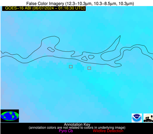
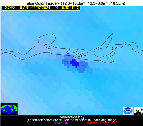
Possible Wildfire
| Basic Information | |
|---|---|
| State/Province(s) | CA |
| Country/Countries | USA |
| County/Locality(s) | Contra Costa County, CA |
| NWS WFO | San Francisco CA |
| Identification Method | Enhanced Contextual (Cloud) |
| Mean Object Date/Time | 2024-06-07 01:16:47UTC |
| Radiative Center (Lat, Lon): | 38.020000°, -121.910000° |
| Nearby Counties (meeting alert criteria): |
|
| Total Radiative Power Anomaly | n/a |
| Total Radiative Power | 70.61 MW |
| Map: | |
| Additional Information | |
| Alert Status | New Feature |
| Type of Event | Coal-processing |
| Event Priority Ranking | 5 |
| Maximum Observed BT (3.9 um) | 311.77 K |
| Observed - Background BT (3.9 um) | 9.80 K |
| BT Anomaly (3.9 um) | 5.63 K |
| Maximum Observed - Clear RTM BT (3.9 um) | 12.49 K |
| Maximum Observed BTD (3.9-10/11/12 um) | 15.87 K |
| Observed - Background BTD (3.9-10/11/12 um) | 9.39 K |
| BTD Anomaly (3.9-10/11/12 um) | 11.91 K |
| Similar Pixel Count | 0 |
| BT Time Tendency (3.9 um) | 4.90 K |
| Image Interval | 5.00 minutes |
| Fraction of Surrounding LWIR Pixels that are Colder | 0.79 |
| Fraction of Surrounding Red Channel Pixels that are Brighter | 0.92 |
| Maximum Radiative Power | 70.61 MW |
| Maximum Radiative Power Uncertainty | 0.00 MW |
| Total Radiative Power Uncertainty | 0.00 MW |
| Mean Viewing Angle | 65.60° |
| Mean Solar Zenith Angle | 66.70° |
| Mean Glint Angle | 17.10° |
| Water Fraction | 0.00 |
| Total Pixel Area | 16.00 km2 |
| Latest Satellite Imagery: | |
| View all event imagery » | |
Possible Wildfire
| Basic Information | |
|---|---|
| State/Province(s) | CA |
| Country/Countries | USA |
| County/Locality(s) | Contra Costa County, CA |
| NWS WFO | San Francisco CA |
| Identification Method | Enhanced Contextual (Cloud) |
| Mean Object Date/Time | 2024-06-07 01:16:47UTC |
| Radiative Center (Lat, Lon): | 38.010000°, -121.820000° |
| Nearby Counties (meeting alert criteria): |
|
| Total Radiative Power Anomaly | n/a |
| Total Radiative Power | 81.01 MW |
| Map: | |
| Additional Information | |
| Alert Status | New Feature |
| Type of Event | Nominal Risk |
| Event Priority Ranking | 4 |
| Maximum Observed BT (3.9 um) | 312.28 K |
| Observed - Background BT (3.9 um) | 11.04 K |
| BT Anomaly (3.9 um) | 5.61 K |
| Maximum Observed - Clear RTM BT (3.9 um) | 12.02 K |
| Maximum Observed BTD (3.9-10/11/12 um) | 17.13 K |
| Observed - Background BTD (3.9-10/11/12 um) | 10.93 K |
| BTD Anomaly (3.9-10/11/12 um) | 13.19 K |
| Similar Pixel Count | 0 |
| BT Time Tendency (3.9 um) | 4.10 K |
| Image Interval | 5.00 minutes |
| Fraction of Surrounding LWIR Pixels that are Colder | 0.65 |
| Fraction of Surrounding Red Channel Pixels that are Brighter | 0.93 |
| Maximum Radiative Power | 81.01 MW |
| Maximum Radiative Power Uncertainty | 0.00 MW |
| Total Radiative Power Uncertainty | 0.00 MW |
| Mean Viewing Angle | 65.50° |
| Mean Solar Zenith Angle | 66.80° |
| Mean Glint Angle | 17.10° |
| Water Fraction | 0.00 |
| Total Pixel Area | 16.00 km2 |
| Latest Satellite Imagery: | |
| View all event imagery » | |
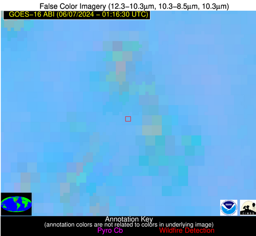
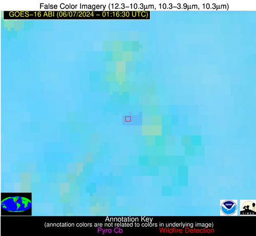
Possible Wildfire
| Basic Information | |
|---|---|
| State/Province(s) | TN |
| Country/Countries | USA |
| County/Locality(s) | Putnam County, TN |
| NWS WFO | Nashville TN |
| Identification Method | Enhanced Contextual (Clear) |
| Mean Object Date/Time | 2024-06-07 01:16:50UTC |
| Radiative Center (Lat, Lon): | 36.160000°, -85.630000° |
| Nearby Counties (meeting alert criteria): |
|
| Total Radiative Power Anomaly | n/a |
| Total Radiative Power | 15.09 MW |
| Map: | |
| Additional Information | |
| Alert Status | New Feature |
| Type of Event | Nominal Risk |
| Event Priority Ranking | 4 |
| Maximum Observed BT (3.9 um) | 295.68 K |
| Observed - Background BT (3.9 um) | 3.34 K |
| BT Anomaly (3.9 um) | 3.43 K |
| Maximum Observed - Clear RTM BT (3.9 um) | 5.68 K |
| Maximum Observed BTD (3.9-10/11/12 um) | 6.72 K |
| Observed - Background BTD (3.9-10/11/12 um) | 3.29 K |
| BTD Anomaly (3.9-10/11/12 um) | 6.62 K |
| Similar Pixel Count | 2 |
| BT Time Tendency (3.9 um) | 4.60 K |
| Image Interval | 5.00 minutes |
| Fraction of Surrounding LWIR Pixels that are Colder | 0.60 |
| Fraction of Surrounding Red Channel Pixels that are Brighter | 1.00 |
| Maximum Radiative Power | 7.61 MW |
| Maximum Radiative Power Uncertainty | 0.00 MW |
| Total Radiative Power Uncertainty | 0.00 MW |
| Mean Viewing Angle | 43.60° |
| Mean Solar Zenith Angle | 94.20° |
| Mean Glint Angle | 61.90° |
| Water Fraction | 0.00 |
| Total Pixel Area | 12.20 km2 |
| Latest Satellite Imagery: | |
| View all event imagery » | |


