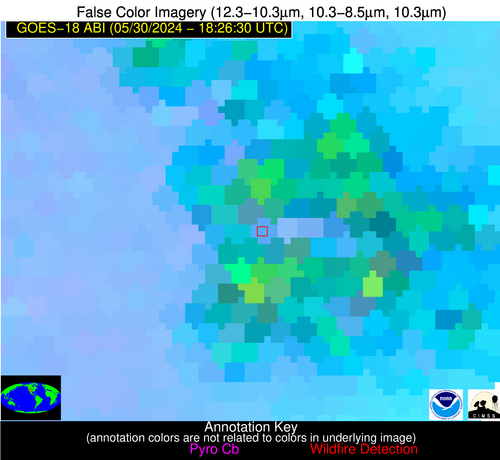
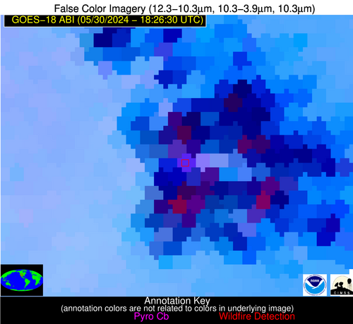
Wildfire Alert Report
| Date: | 2024-05-30 |
|---|---|
| Time: | 18:26:17 |
| Production Date and Time: | 2024-05-30 18:30:56 UTC |
| Primary Instrument: | GOES-18 ABI |
| Wmo Spacecraft Id: | 665 |
| Location/orbit: | GEO |
| L1 File: | OR_ABI-L1b-RadC-M6C14_G18_s20241511826177_e20241511828550_c20241511829042.nc |
| L1 File(s) - Temporal | OR_ABI-L1b-RadC-M6C14_G18_s20241511821177_e20241511823549_c20241511824017.nc |
| Number Of Thermal Anomaly Alerts: | 2 |
Possible Wildfire
| Basic Information | |
|---|---|
| State/Province(s) | NM |
| Country/Countries | USA |
| County/Locality(s) | Rio Arriba County, NM |
| NWS WFO | Albuquerque NM |
| Identification Method | Enhanced Contextual (Cloud) |
| Mean Object Date/Time | 2024-05-30 18:27:24UTC |
| Radiative Center (Lat, Lon): | 36.690000°, -106.050000° |
| Nearby Counties (meeting alert criteria): |
|
| Total Radiative Power Anomaly | n/a |
| Total Radiative Power | 93.69 MW |
| Map: | |
| Additional Information | |
| Alert Status | New Feature |
| Type of Event | Nominal Risk, Known Incident: ESQUIBEL RX (HIGH, tdiff=0.12505 days, POINT) |
| Event Priority Ranking | 4 |
| Maximum Observed BT (3.9 um) | 316.22 K |
| Observed - Background BT (3.9 um) | 12.85 K |
| BT Anomaly (3.9 um) | 10.75 K |
| Maximum Observed - Clear RTM BT (3.9 um) | 14.33 K |
| Maximum Observed BTD (3.9-10/11/12 um) | 27.81 K |
| Observed - Background BTD (3.9-10/11/12 um) | 12.62 K |
| BTD Anomaly (3.9-10/11/12 um) | 7.28 K |
| Similar Pixel Count | 0 |
| BT Time Tendency (3.9 um) | 5.00 K |
| Image Interval | 5.00 minutes |
| Fraction of Surrounding LWIR Pixels that are Colder | 0.41 |
| Fraction of Surrounding Red Channel Pixels that are Brighter | 0.67 |
| Maximum Radiative Power | 93.69 MW |
| Maximum Radiative Power Uncertainty | 0.00 MW |
| Total Radiative Power Uncertainty | 0.00 MW |
| Mean Viewing Angle | 53.80° |
| Mean Solar Zenith Angle | 16.70° |
| Mean Glint Angle | 59.80° |
| Water Fraction | 0.00 |
| Total Pixel Area | 8.60 km2 |
| Latest Satellite Imagery: | |
| View all event imagery » | |
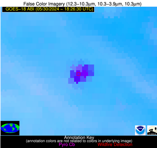
Possible Wildfire
| Basic Information | |
|---|---|
| State/Province(s) | CA |
| Country/Countries | USA |
| County/Locality(s) | San Luis Obispo County, CA |
| NWS WFO | Los Angeles/Oxnard CA |
| Identification Method | Enhanced Contextual (Cloud) |
| Mean Object Date/Time | 2024-05-30 18:27:23UTC |
| Radiative Center (Lat, Lon): | 35.370000°, -120.070000° |
| Nearby Counties (meeting alert criteria): |
|
| Total Radiative Power Anomaly | n/a |
| Total Radiative Power | 858.86 MW |
| Map: | |
| Additional Information | |
| Alert Status | New Feature |
| Type of Event | Solar panel (database + spectral) |
| Event Priority Ranking | 5 |
| Maximum Observed BT (3.9 um) | 353.55 K |
| Observed - Background BT (3.9 um) | 38.59 K |
| BT Anomaly (3.9 um) | 28.46 K |
| Maximum Observed - Clear RTM BT (3.9 um) | 46.60 K |
| Maximum Observed BTD (3.9-10/11/12 um) | 45.40 K |
| Observed - Background BTD (3.9-10/11/12 um) | 37.29 K |
| BTD Anomaly (3.9-10/11/12 um) | 45.05 K |
| Similar Pixel Count | 0 |
| BT Time Tendency (3.9 um) | 29.00 K |
| Image Interval | 5.00 minutes |
| Fraction of Surrounding LWIR Pixels that are Colder | 0.95 |
| Fraction of Surrounding Red Channel Pixels that are Brighter | 0.00 |
| Maximum Radiative Power | 337.91 MW |
| Maximum Radiative Power Uncertainty | 0.00 MW |
| Total Radiative Power Uncertainty | 0.00 MW |
| Mean Viewing Angle | 45.10° |
| Mean Solar Zenith Angle | 24.10° |
| Mean Glint Angle | 50.00° |
| Water Fraction | 0.00 |
| Total Pixel Area | 25.50 km2 |
| Latest Satellite Imagery: | |
| View all event imagery » | |


