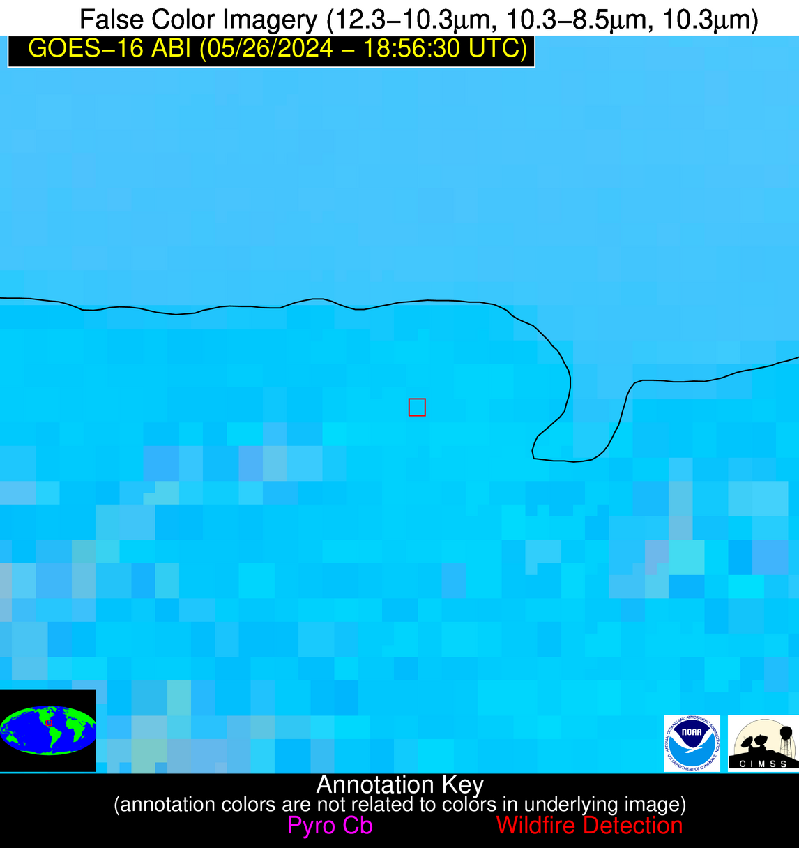
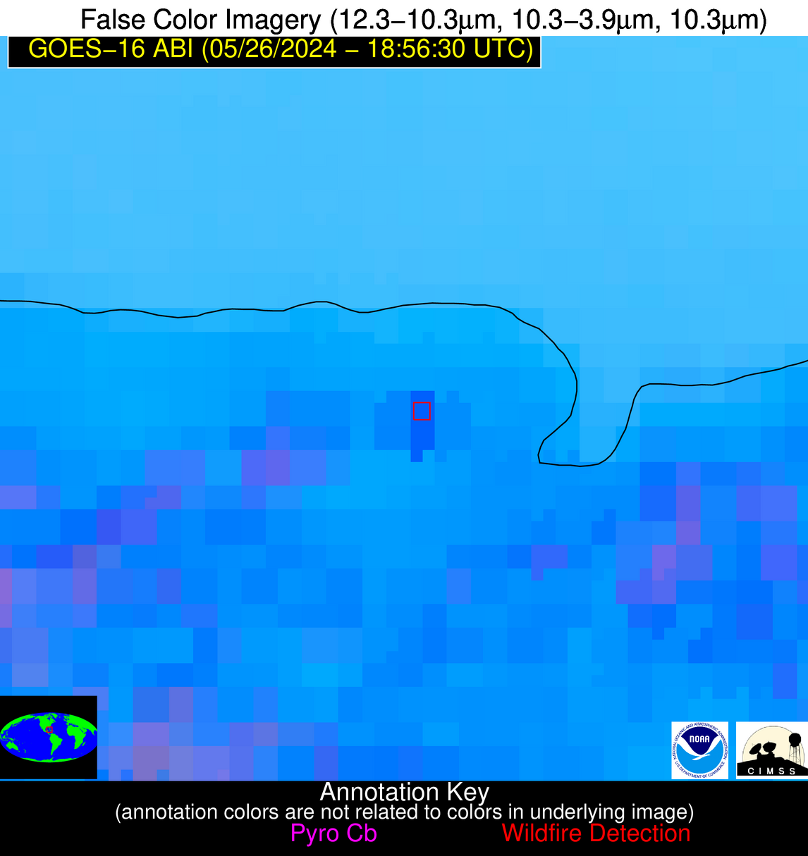
Please consider accessing NGFS detections and satellite imagery through the NOAA/NESDIS Wildland Fire Data Portal: https://fire.data.nesdis.noaa.gov/map/
Wildfire Notification Report
| Date: | 2024-05-26 |
|---|---|
| Time: | 18:56:17 |
| Production Date and Time: | 2024-05-26 19:01:03 UTC |
| Primary Instrument: | GOES-16 ABI |
| Wmo Spacecraft Id: | 152 |
| Location/orbit: | GEO |
| L1 File: | OR_ABI-L1b-RadC-M6C14_G16_s20241471856179_e20241471858552_c20241471859055.nc |
| L1 File(s) - Temporal | OR_ABI-L1b-RadC-M6C14_G16_s20241471851179_e20241471853552_c20241471854033.nc |
| Number Of Thermal Anomaly Notifications: | 4 |
Possible Wildfire
| Basic Information | |
|---|---|
| State/Province(s) | NE |
| Country/Countries | USA |
| County/Locality(s) | Cherry County, NE |
| NWS WFO | North Platte NE |
| Identification Method | Enhanced Contextual (Cloud) |
| Mean Object Date/Time | 2024-05-26 18:56:50UTC |
| Radiative Center (Lat, Lon): | 42.900000°, -100.440000° |
| Nearby Counties (meeting notification criteria): |
|
| Total Radiative Power Anomaly | n/a |
| Total Radiative Power | 80.71 MW |
| Map: | |
| Additional Information | |
| Notification Status | New Feature |
| Type of Event | Nominal Risk, Known Incident: UNIT 16 NORTH RX (HIGH, tdiff=0.20024 days, POINT) |
| Event Priority Ranking | 4 |
| Maximum Observed BT (3.9 um) | 316.70 K |
| Observed - Background BT (3.9 um) | 14.55 K |
| BT Anomaly (3.9 um) | 22.44 K |
| Maximum Observed - Clear RTM BT (3.9 um) | 23.06 K |
| Maximum Observed BTD (3.9-10/11/12 um) | 28.06 K |
| Observed - Background BTD (3.9-10/11/12 um) | 13.12 K |
| BTD Anomaly (3.9-10/11/12 um) | 16.60 K |
| Similar Pixel Count | 0 |
| BT Time Tendency (3.9 um) | 7.50 K |
| Image Interval | 5.00 minutes |
| Fraction of Surrounding LWIR Pixels that are Colder | 1.00 |
| Fraction of Surrounding Red Channel Pixels that are Brighter | 0.52 |
| Maximum Radiative Power | 80.71 MW |
| Maximum Radiative Power Uncertainty | 0.00 MW |
| Total Radiative Power Uncertainty | 0.00 MW |
| Mean Viewing Angle | 56.00° |
| Mean Solar Zenith Angle | 22.10° |
| Mean Glint Angle | 72.40° |
| Water Fraction | 0.00 |
| Total Pixel Area | 8.90 km2 |
| Latest Satellite Imagery: | |
| View all event imagery » | |
Possible Wildfire
| Basic Information | |
|---|---|
| State/Province(s) | TX |
| Country/Countries | USA |
| County/Locality(s) | Wilbarger County, TX |
| NWS WFO | Norman OK |
| Identification Method | Enhanced Contextual (Clear) |
| Mean Object Date/Time | 2024-05-26 18:57:20UTC |
| Radiative Center (Lat, Lon): | 34.070000°, -99.030000° |
| Nearby Counties (meeting notification criteria): |
|
| Total Radiative Power Anomaly | n/a |
| Total Radiative Power | 9.61 MW |
| Map: | |
| Additional Information | |
| Notification Status | New Feature |
| Type of Event | Nominal Risk |
| Event Priority Ranking | 4 |
| Maximum Observed BT (3.9 um) | 316.13 K |
| Observed - Background BT (3.9 um) | 2.50 K |
| BT Anomaly (3.9 um) | 2.25 K |
| Maximum Observed - Clear RTM BT (3.9 um) | 8.30 K |
| Maximum Observed BTD (3.9-10/11/12 um) | 9.81 K |
| Observed - Background BTD (3.9-10/11/12 um) | 2.40 K |
| BTD Anomaly (3.9-10/11/12 um) | 2.79 K |
| Similar Pixel Count | 25 |
| BT Time Tendency (3.9 um) | 1.60 K |
| Image Interval | 5.00 minutes |
| Fraction of Surrounding LWIR Pixels that are Colder | 0.39 |
| Fraction of Surrounding Red Channel Pixels that are Brighter | 1.00 |
| Maximum Radiative Power | 9.61 MW |
| Maximum Radiative Power Uncertainty | 0.00 MW |
| Total Radiative Power Uncertainty | 0.00 MW |
| Mean Viewing Angle | 47.30° |
| Mean Solar Zenith Angle | 13.90° |
| Mean Glint Angle | 55.00° |
| Water Fraction | 0.00 |
| Total Pixel Area | 6.90 km2 |
| Latest Satellite Imagery: | |
| View all event imagery » | |
Possible Wildfire
| Basic Information | |
|---|---|
| State/Province(s) | Unknown |
| Country/Countries | Mexico |
| County/Locality(s) | Mexico |
| NWS WFO | N/A |
| Identification Method | Enhanced Contextual (Clear) |
| Mean Object Date/Time | 2024-05-26 18:57:49UTC |
| Radiative Center (Lat, Lon): | 25.350000°, -99.650000° |
| Nearby Counties (meeting notification criteria): |
|
| Total Radiative Power Anomaly | n/a |
| Total Radiative Power | 31.35 MW |
| Map: | |
| Additional Information | |
| Notification Status | New Feature |
| Type of Event | Nominal Risk |
| Event Priority Ranking | 4 |
| Maximum Observed BT (3.9 um) | 330.52 K |
| Observed - Background BT (3.9 um) | 4.61 K |
| BT Anomaly (3.9 um) | 5.52 K |
| Maximum Observed - Clear RTM BT (3.9 um) | 12.23 K |
| Maximum Observed BTD (3.9-10/11/12 um) | 23.51 K |
| Observed - Background BTD (3.9-10/11/12 um) | 3.37 K |
| BTD Anomaly (3.9-10/11/12 um) | 4.69 K |
| Similar Pixel Count | 25 |
| BT Time Tendency (3.9 um) | 0.50 K |
| Image Interval | 5.00 minutes |
| Fraction of Surrounding LWIR Pixels that are Colder | 1.00 |
| Fraction of Surrounding Red Channel Pixels that are Brighter | 1.00 |
| Maximum Radiative Power | 31.35 MW |
| Maximum Radiative Power Uncertainty | 0.00 MW |
| Total Radiative Power Uncertainty | 0.00 MW |
| Mean Viewing Angle | 40.40° |
| Mean Solar Zenith Angle | 6.40° |
| Mean Glint Angle | 40.10° |
| Water Fraction | 0.00 |
| Total Pixel Area | 5.90 km2 |
| Latest Satellite Imagery: | |
| View all event imagery » | |
Possible Wildfire
| Basic Information | |
|---|---|
| State/Province(s) | Unknown |
| Country/Countries | Cuba |
| County/Locality(s) | Cuba |
| NWS WFO | N/A |
| Identification Method | Enhanced Contextual (Clear) |
| Mean Object Date/Time | 2024-05-26 18:58:22UTC |
| Radiative Center (Lat, Lon): | 23.080000°, -81.630000° |
| Nearby Counties (meeting notification criteria): |
|
| Total Radiative Power Anomaly | n/a |
| Total Radiative Power | 75.80 MW |
| Map: | |
| Additional Information | |
| Notification Status | New Feature |
| Type of Event | Nominal Risk |
| Event Priority Ranking | 4 |
| Maximum Observed BT (3.9 um) | 322.10 K |
| Observed - Background BT (3.9 um) | 9.46 K |
| BT Anomaly (3.9 um) | 5.56 K |
| Maximum Observed - Clear RTM BT (3.9 um) | 12.54 K |
| Maximum Observed BTD (3.9-10/11/12 um) | 23.29 K |
| Observed - Background BTD (3.9-10/11/12 um) | 7.98 K |
| BTD Anomaly (3.9-10/11/12 um) | 5.07 K |
| Similar Pixel Count | 8 |
| BT Time Tendency (3.9 um) | 8.00 K |
| Image Interval | 5.00 minutes |
| Fraction of Surrounding LWIR Pixels that are Colder | 1.00 |
| Fraction of Surrounding Red Channel Pixels that are Brighter | 1.00 |
| Maximum Radiative Power | 38.24 MW |
| Maximum Radiative Power Uncertainty | 0.00 MW |
| Total Radiative Power Uncertainty | 0.00 MW |
| Mean Viewing Angle | 28.10° |
| Mean Solar Zenith Angle | 21.60° |
| Mean Glint Angle | 29.90° |
| Water Fraction | 0.00 |
| Total Pixel Area | 9.50 km2 |
| Latest Satellite Imagery: | |
| View all event imagery » | |


