Wildfire Alert Report
| Date: | 2024-05-20 |
|---|---|
| Time: | 21:56:17 |
| Production Date and Time: | 2024-05-20 22:01:06 UTC |
| Primary Instrument: | GOES-16 ABI |
| Wmo Spacecraft Id: | 152 |
| Location/orbit: | GEO |
| L1 File: | OR_ABI-L1b-RadC-M6C14_G16_s20241412156174_e20241412158547_c20241412159028.nc |
| L1 File(s) - Temporal | OR_ABI-L1b-RadC-M6C14_G16_s20241412151174_e20241412153547_c20241412154039.nc |
| Number Of Thermal Anomaly Alerts: | 4 |
Possible Wildfire
| Basic Information | |
|---|---|
| State/Province(s) | MO |
| Country/Countries | USA |
| County/Locality(s) | Texas County, MO |
| NWS WFO | Springfield MO |
| Identification Method | Enhanced Contextual (Clear) |
| Mean Object Date/Time | 2024-05-20 21:56:51UTC |
| Radiative Center (Lat, Lon): | 37.350000°, -92.130000° |
| Nearby Counties (meeting alert criteria): |
|
| Total Radiative Power Anomaly | n/a |
| Total Radiative Power | 6.81 MW |
| Map: | |
| Additional Information | |
| Alert Status | New Feature |
| Type of Event | Nominal Risk |
| Event Priority Ranking | 4 |
| Maximum Observed BT (3.9 um) | 300.21 K |
| Observed - Background BT (3.9 um) | 2.11 K |
| BT Anomaly (3.9 um) | 10.55 K |
| Maximum Observed - Clear RTM BT (3.9 um) | 5.13 K |
| Maximum Observed BTD (3.9-10/11/12 um) | 9.91 K |
| Observed - Background BTD (3.9-10/11/12 um) | 1.98 K |
| BTD Anomaly (3.9-10/11/12 um) | 8.51 K |
| Similar Pixel Count | 25 |
| BT Time Tendency (3.9 um) | 1.20 K |
| Image Interval | 5.00 minutes |
| Fraction of Surrounding LWIR Pixels that are Colder | 0.63 |
| Fraction of Surrounding Red Channel Pixels that are Brighter | 1.00 |
| Maximum Radiative Power | 6.81 MW |
| Maximum Radiative Power Uncertainty | 0.00 MW |
| Total Radiative Power Uncertainty | 0.00 MW |
| Mean Viewing Angle | 47.00° |
| Mean Solar Zenith Angle | 52.80° |
| Mean Glint Angle | 49.20° |
| Water Fraction | 0.00 |
| Total Pixel Area | 6.70 km2 |
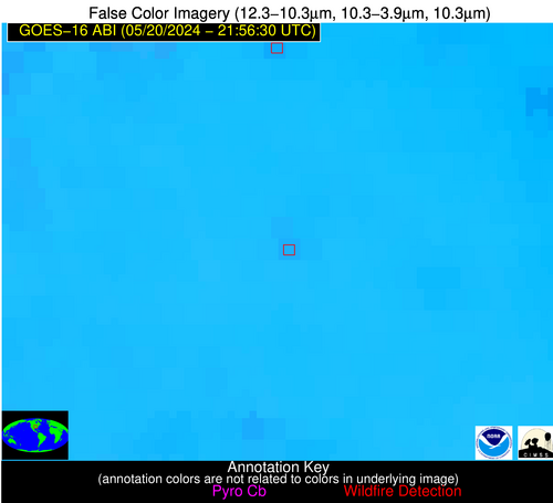
| Latest Satellite Imagery: | |
| View all event imagery » | |
Possible Wildfire
| Basic Information | |
|---|---|
| State/Province(s) | NM |
| Country/Countries | USA |
| County/Locality(s) | Otero County, NM |
| NWS WFO | El Paso Tx/Santa Teresa NM |
| Identification Method | Enhanced Contextual (Clear) |
| Mean Object Date/Time | 2024-05-20 21:57:19UTC |
| Radiative Center (Lat, Lon): | 32.960000°, -105.710000° |
| Nearby Counties (meeting alert criteria): |
|
| Total Radiative Power Anomaly | n/a |
| Total Radiative Power | 90.53 MW |
| Map: | |
| Additional Information | |
| Alert Status | New Feature |
| Type of Event | Critical SPC Risk and Red Flag Warning |
| Event Priority Ranking | 1 |
| Maximum Observed BT (3.9 um) | 313.01 K |
| Observed - Background BT (3.9 um) | 14.18 K |
| BT Anomaly (3.9 um) | 6.66 K |
| Maximum Observed - Clear RTM BT (3.9 um) | 18.57 K |
| Maximum Observed BTD (3.9-10/11/12 um) | 18.48 K |
| Observed - Background BTD (3.9-10/11/12 um) | 14.49 K |
| BTD Anomaly (3.9-10/11/12 um) | 10.13 K |
| Similar Pixel Count | 2 |
| BT Time Tendency (3.9 um) | 13.60 K |
| Image Interval | 5.00 minutes |
| Fraction of Surrounding LWIR Pixels that are Colder | 0.17 |
| Fraction of Surrounding Red Channel Pixels that are Brighter | 1.00 |
| Maximum Radiative Power | 56.48 MW |
| Maximum Radiative Power Uncertainty | 0.00 MW |
| Total Radiative Power Uncertainty | 0.00 MW |
| Mean Viewing Angle | 50.70° |
| Mean Solar Zenith Angle | 41.40° |
| Mean Glint Angle | 36.20° |
| Water Fraction | 0.00 |
| Total Pixel Area | 15.50 km2 |
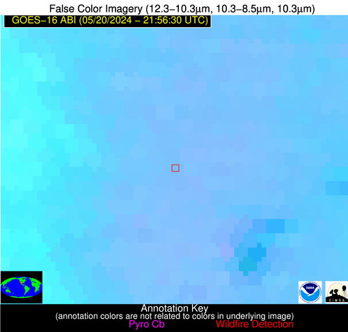
| Latest Satellite Imagery: | |
| View all event imagery » | |
Possible Wildfire
| Basic Information | |
|---|---|
| State/Province(s) | GA |
| Country/Countries | USA |
| County/Locality(s) | Thomas County, GA |
| NWS WFO | Tallahassee FL |
| Identification Method | Enhanced Contextual (Clear) |
| Mean Object Date/Time | 2024-05-20 21:57:21UTC |
| Radiative Center (Lat, Lon): | 30.770000°, -83.890000° |
| Nearby Counties (meeting alert criteria): |
|
| Total Radiative Power Anomaly | n/a |
| Total Radiative Power | 9.79 MW |
| Map: | |
| Additional Information | |
| Alert Status | New Feature |
| Type of Event | Nominal Risk |
| Event Priority Ranking | 4 |
| Maximum Observed BT (3.9 um) | 302.20 K |
| Observed - Background BT (3.9 um) | 4.29 K |
| BT Anomaly (3.9 um) | 5.10 K |
| Maximum Observed - Clear RTM BT (3.9 um) | 9.55 K |
| Maximum Observed BTD (3.9-10/11/12 um) | 9.72 K |
| Observed - Background BTD (3.9-10/11/12 um) | 3.56 K |
| BTD Anomaly (3.9-10/11/12 um) | 3.64 K |
| Similar Pixel Count | 8 |
| BT Time Tendency (3.9 um) | 2.40 K |
| Image Interval | 5.00 minutes |
| Fraction of Surrounding LWIR Pixels that are Colder | 0.87 |
| Fraction of Surrounding Red Channel Pixels that are Brighter | 1.00 |
| Maximum Radiative Power | 9.79 MW |
| Maximum Radiative Power Uncertainty | 0.00 MW |
| Total Radiative Power Uncertainty | 0.00 MW |
| Mean Viewing Angle | 37.30° |
| Mean Solar Zenith Angle | 59.90° |
| Mean Glint Angle | 52.70° |
| Water Fraction | 0.00 |
| Total Pixel Area | 5.40 km2 |
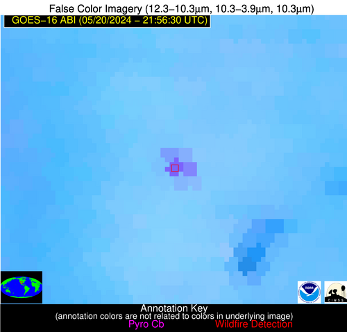
| Latest Satellite Imagery: | |
| View all event imagery » | |
Possible Wildfire
| Basic Information | |
|---|---|
| State/Province(s) | TX |
| Country/Countries | USA |
| County/Locality(s) | Medina County, TX |
| NWS WFO | Austin/San Antonio TX |
| Identification Method | Enhanced Contextual (Cloud) |
| Mean Object Date/Time | 2024-05-20 21:57:49UTC |
| Radiative Center (Lat, Lon): | 29.430000°, -99.190000° |
| Nearby Counties (meeting alert criteria): |
|
| Total Radiative Power Anomaly | n/a |
| Total Radiative Power | 217.35 MW |
| Map: | |
| Additional Information | |
| Alert Status | New Feature |
| Type of Event | Nominal Risk |
| Event Priority Ranking | 4 |
| Maximum Observed BT (3.9 um) | 334.26 K |
| Observed - Background BT (3.9 um) | 22.35 K |
| BT Anomaly (3.9 um) | 10.77 K |
| Maximum Observed - Clear RTM BT (3.9 um) | 28.89 K |
| Maximum Observed BTD (3.9-10/11/12 um) | 32.24 K |
| Observed - Background BTD (3.9-10/11/12 um) | 21.49 K |
| BTD Anomaly (3.9-10/11/12 um) | 13.34 K |
| Similar Pixel Count | 0 |
| BT Time Tendency (3.9 um) | 20.10 K |
| Image Interval | 5.00 minutes |
| Fraction of Surrounding LWIR Pixels that are Colder | 0.80 |
| Fraction of Surrounding Red Channel Pixels that are Brighter | 1.00 |
| Maximum Radiative Power | 137.79 MW |
| Maximum Radiative Power Uncertainty | 0.00 MW |
| Total Radiative Power Uncertainty | 0.00 MW |
| Mean Viewing Angle | 43.40° |
| Mean Solar Zenith Angle | 46.80° |
| Mean Glint Angle | 33.20° |
| Water Fraction | 0.00 |
| Total Pixel Area | 12.60 km2 |
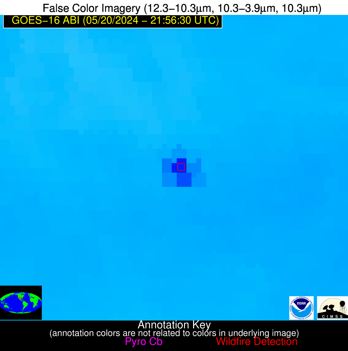
| Latest Satellite Imagery: | |
| View all event imagery » | |


