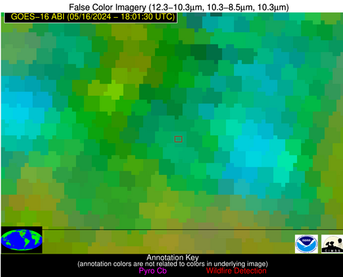
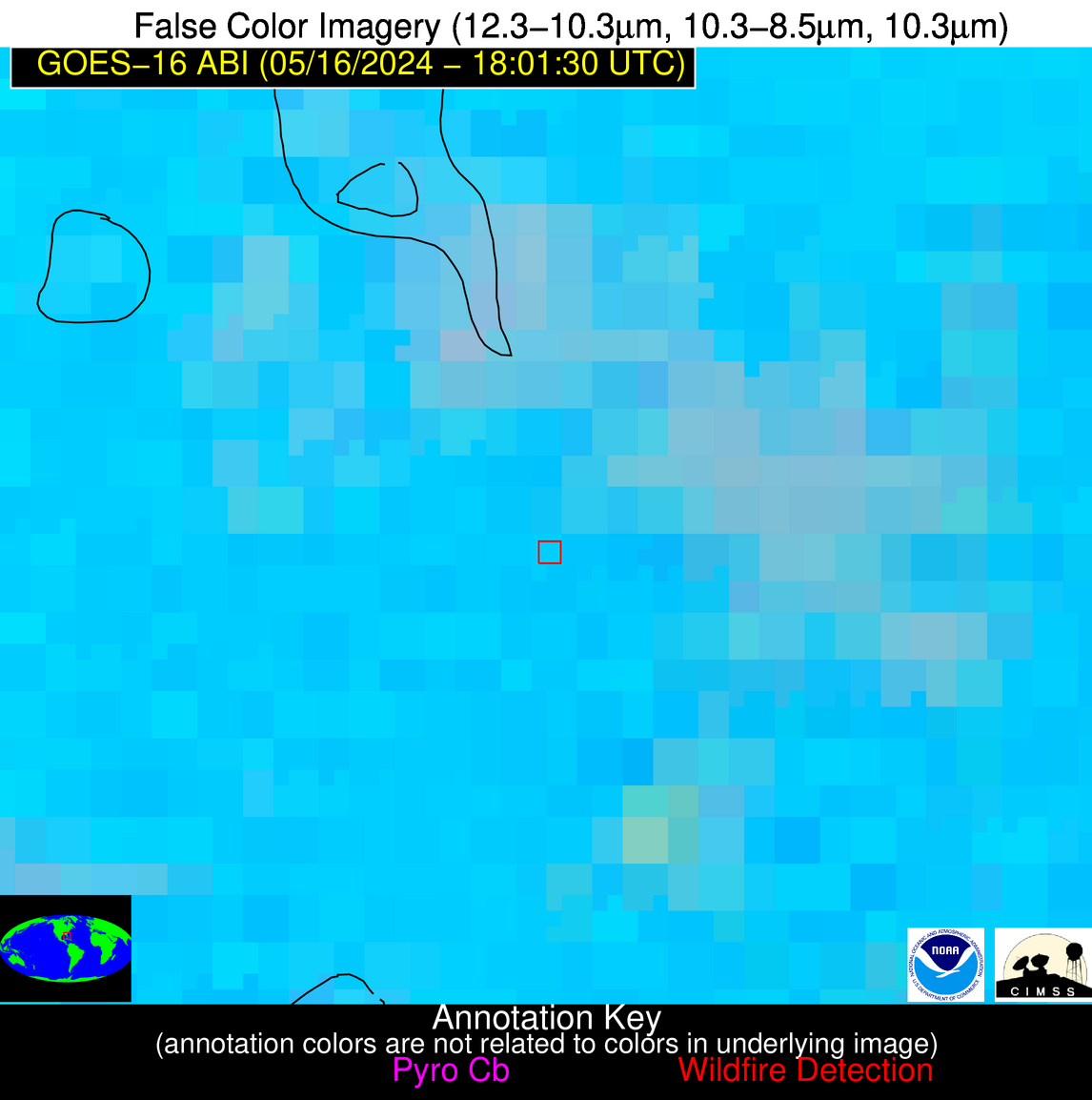
Wildfire Alert Report
| Date: | 2024-05-16 |
|---|---|
| Time: | 18:01:17 |
| Production Date and Time: | 2024-05-16 18:06:00 UTC |
| Primary Instrument: | GOES-16 ABI |
| Wmo Spacecraft Id: | 152 |
| Location/orbit: | GEO |
| L1 File: | OR_ABI-L1b-RadC-M6C14_G16_s20241371801171_e20241371803544_c20241371804011.nc |
| L1 File(s) - Temporal | OR_ABI-L1b-RadC-M6C14_G16_s20241371756171_e20241371758544_c20241371759029.nc |
| Number Of Thermal Anomaly Alerts: | 3 |
Possible Wildfire
| Basic Information | |
|---|---|
| State/Province(s) | MT |
| Country/Countries | USA |
| County/Locality(s) | Powder River County, MT |
| NWS WFO | Billings MT |
| Identification Method | Enhanced Contextual (Cloud) |
| Mean Object Date/Time | 2024-05-16 18:01:20UTC |
| Radiative Center (Lat, Lon): | 45.190000°, -105.170000° |
| Nearby Counties (meeting alert criteria): |
|
| Total Radiative Power Anomaly | n/a |
| Total Radiative Power | 61.15 MW |
| Map: | |
| Additional Information | |
| Alert Status | New Feature |
| Type of Event | Nominal Risk |
| Event Priority Ranking | 4 |
| Maximum Observed BT (3.9 um) | 297.16 K |
| Observed - Background BT (3.9 um) | 12.84 K |
| BT Anomaly (3.9 um) | 4.82 K |
| Maximum Observed - Clear RTM BT (3.9 um) | 5.94 K |
| Maximum Observed BTD (3.9-10/11/12 um) | 41.72 K |
| Observed - Background BTD (3.9-10/11/12 um) | 12.38 K |
| BTD Anomaly (3.9-10/11/12 um) | 4.98 K |
| Similar Pixel Count | 0 |
| BT Time Tendency (3.9 um) | -1.10 K |
| Image Interval | 5.00 minutes |
| Fraction of Surrounding LWIR Pixels that are Colder | 0.70 |
| Fraction of Surrounding Red Channel Pixels that are Brighter | 0.92 |
| Maximum Radiative Power | 61.15 MW |
| Maximum Radiative Power Uncertainty | 0.00 MW |
| Total Radiative Power Uncertainty | 0.00 MW |
| Mean Viewing Angle | 60.30° |
| Mean Solar Zenith Angle | 28.50° |
| Mean Glint Angle | 88.30° |
| Water Fraction | 0.00 |
| Total Pixel Area | 10.80 km2 |
| Latest Satellite Imagery: | |
| View all event imagery » | |
Possible Wildfire
| Basic Information | |
|---|---|
| State/Province(s) | FL |
| Country/Countries | USA |
| County/Locality(s) | Polk County, FL |
| NWS WFO | Tampa Bay Ruskin FL |
| Identification Method | Enhanced Contextual (Cloud) |
| Mean Object Date/Time | 2024-05-16 18:02:52UTC |
| Radiative Center (Lat, Lon): | 27.670000°, -81.160000° |
| Nearby Counties (meeting alert criteria): |
|
| Total Radiative Power Anomaly | n/a |
| Total Radiative Power | 162.55 MW |
| Map: | |
| Additional Information | |
| Alert Status | New Feature |
| Type of Event | Nominal Risk |
| Event Priority Ranking | 4 |
| Maximum Observed BT (3.9 um) | 322.27 K |
| Observed - Background BT (3.9 um) | 13.74 K |
| BT Anomaly (3.9 um) | 13.70 K |
| Maximum Observed - Clear RTM BT (3.9 um) | 18.83 K |
| Maximum Observed BTD (3.9-10/11/12 um) | 33.26 K |
| Observed - Background BTD (3.9-10/11/12 um) | 13.62 K |
| BTD Anomaly (3.9-10/11/12 um) | 9.92 K |
| Similar Pixel Count | 0 |
| BT Time Tendency (3.9 um) | 11.50 K |
| Image Interval | 5.00 minutes |
| Fraction of Surrounding LWIR Pixels that are Colder | 0.62 |
| Fraction of Surrounding Red Channel Pixels that are Brighter | 0.78 |
| Maximum Radiative Power | 98.44 MW |
| Maximum Radiative Power Uncertainty | 0.00 MW |
| Total Radiative Power Uncertainty | 0.00 MW |
| Mean Viewing Angle | 33.10° |
| Mean Solar Zenith Angle | 12.60° |
| Mean Glint Angle | 40.40° |
| Water Fraction | 0.00 |
| Total Pixel Area | 10.10 km2 |
| Latest Satellite Imagery: | |
| View all event imagery » | |
Possible Wildfire
| Basic Information | |
|---|---|
| State/Province(s) | Unknown |
| Country/Countries | Dominican Republic |
| County/Locality(s) | Dominican Republic |
| NWS WFO | N/A |
| Identification Method | Enhanced Contextual (Clear) |
| Mean Object Date/Time | 2024-05-16 18:03:53UTC |
| Radiative Center (Lat, Lon): | 19.000000°, -71.430000° |
| Nearby Counties (meeting alert criteria): |
|
| Total Radiative Power Anomaly | n/a |
| Total Radiative Power | 51.38 MW |
| Map: | |
| Additional Information | |
| Alert Status | New Feature |
| Type of Event | Nominal Risk |
| Event Priority Ranking | 4 |
| Maximum Observed BT (3.9 um) | 317.48 K |
| Observed - Background BT (3.9 um) | 6.05 K |
| BT Anomaly (3.9 um) | 2.83 K |
| Maximum Observed - Clear RTM BT (3.9 um) | 11.43 K |
| Maximum Observed BTD (3.9-10/11/12 um) | 18.40 K |
| Observed - Background BTD (3.9-10/11/12 um) | 6.56 K |
| BTD Anomaly (3.9-10/11/12 um) | 5.02 K |
| Similar Pixel Count | 4 |
| BT Time Tendency (3.9 um) | 5.80 K |
| Image Interval | 5.00 minutes |
| Fraction of Surrounding LWIR Pixels that are Colder | 0.50 |
| Fraction of Surrounding Red Channel Pixels that are Brighter | 1.00 |
| Maximum Radiative Power | 28.02 MW |
| Maximum Radiative Power Uncertainty | 0.00 MW |
| Total Radiative Power Uncertainty | 0.00 MW |
| Mean Viewing Angle | 22.80° |
| Mean Solar Zenith Angle | 18.80° |
| Mean Glint Angle | 31.10° |
| Water Fraction | 0.00 |
| Total Pixel Area | 9.00 km2 |
| Latest Satellite Imagery: | |
| View all event imagery » | |


