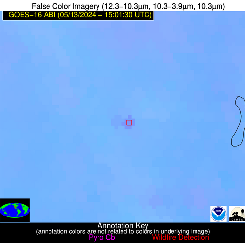
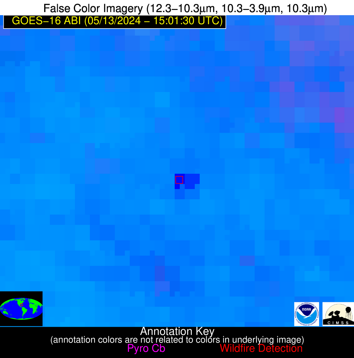
Wildfire Alert Report
| Date: | 2024-05-13 |
|---|---|
| Time: | 15:01:17 |
| Production Date and Time: | 2024-05-13 15:12:36 UTC |
| Primary Instrument: | GOES-16 ABI |
| Wmo Spacecraft Id: | 152 |
| Location/orbit: | GEO |
| L1 File: | OR_ABI-L1b-RadC-M6C14_G16_s20241341501170_e20241341503543_c20241341504035.nc |
| L1 File(s) - Temporal | OR_ABI-L1b-RadC-M6C14_G16_s20241341451170_e20241341453543_c20241341454035.nc |
| Number Of Thermal Anomaly Alerts: | 5 |
Possible Wildfire
| Basic Information | |
|---|---|
| State/Province(s) | MN |
| Country/Countries | USA |
| County/Locality(s) | Grant County, MN |
| NWS WFO | Grand Forks ND |
| Identification Method | Enhanced Contextual (Clear) |
| Mean Object Date/Time | 2024-05-13 15:01:20UTC |
| Radiative Center (Lat, Lon): | 45.890000°, -96.080000° |
| Nearby Counties (meeting alert criteria): |
|
| Total Radiative Power Anomaly | n/a |
| Total Radiative Power | 14.14 MW |
| Map: | |
| Additional Information | |
| Alert Status | New Feature |
| Type of Event | Nominal Risk, Known Incident: BAILEY SLOUGH RX (MEDIUM, tdiff=13.8389 days, PERIMETER) |
| Event Priority Ranking | 4 |
| Maximum Observed BT (3.9 um) | 303.05 K |
| Observed - Background BT (3.9 um) | 2.83 K |
| BT Anomaly (3.9 um) | 2.37 K |
| Maximum Observed - Clear RTM BT (3.9 um) | 17.93 K |
| Maximum Observed BTD (3.9-10/11/12 um) | 13.65 K |
| Observed - Background BTD (3.9-10/11/12 um) | 3.02 K |
| BTD Anomaly (3.9-10/11/12 um) | 4.42 K |
| Similar Pixel Count | 25 |
| BT Time Tendency (3.9 um) | 2.70 K |
| Image Interval | 10.00 minutes |
| Fraction of Surrounding LWIR Pixels that are Colder | 0.42 |
| Fraction of Surrounding Red Channel Pixels that are Brighter | 1.00 |
| Maximum Radiative Power | 14.14 MW |
| Maximum Radiative Power Uncertainty | 0.00 MW |
| Total Radiative Power Uncertainty | 0.00 MW |
| Mean Viewing Angle | 57.00° |
| Mean Solar Zenith Angle | 49.20° |
| Mean Glint Angle | 95.30° |
| Water Fraction | 0.00 |
| Total Pixel Area | 9.00 km2 |
| Latest Satellite Imagery: | |
| View all event imagery » | |
Possible Wildfire
| Basic Information | |
|---|---|
| State/Province(s) | Unknown |
| Country/Countries | Mexico |
| County/Locality(s) | Mexico |
| NWS WFO | N/A |
| Identification Method | Enhanced Contextual (Clear) |
| Mean Object Date/Time | 2024-05-13 15:02:48UTC |
| Radiative Center (Lat, Lon): | 30.500000°, -109.630000° |
| Nearby Counties (meeting alert criteria): |
|
| Total Radiative Power Anomaly | n/a |
| Total Radiative Power | 16.07 MW |
| Map: | |
| Additional Information | |
| Alert Status | New Feature |
| Type of Event | Ferrous-metal |
| Event Priority Ranking | 5 |
| Maximum Observed BT (3.9 um) | 306.30 K |
| Observed - Background BT (3.9 um) | 3.33 K |
| BT Anomaly (3.9 um) | 2.26 K |
| Maximum Observed - Clear RTM BT (3.9 um) | 11.22 K |
| Maximum Observed BTD (3.9-10/11/12 um) | 11.05 K |
| Observed - Background BTD (3.9-10/11/12 um) | 3.93 K |
| BTD Anomaly (3.9-10/11/12 um) | 8.23 K |
| Similar Pixel Count | 2 |
| BT Time Tendency (3.9 um) | 5.40 K |
| Image Interval | 10.00 minutes |
| Fraction of Surrounding LWIR Pixels that are Colder | 0.29 |
| Fraction of Surrounding Red Channel Pixels that are Brighter | 1.00 |
| Maximum Radiative Power | 16.07 MW |
| Maximum Radiative Power Uncertainty | 0.00 MW |
| Total Radiative Power Uncertainty | 0.00 MW |
| Mean Viewing Angle | 51.80° |
| Mean Solar Zenith Angle | 58.20° |
| Mean Glint Angle | 100.50° |
| Water Fraction | 0.00 |
| Total Pixel Area | 8.10 km2 |
| Latest Satellite Imagery: | |
| View all event imagery » | |
Possible Wildfire
| Basic Information | |
|---|---|
| State/Province(s) | FL |
| Country/Countries | USA |
| County/Locality(s) | Polk County, FL |
| NWS WFO | Tampa Bay Ruskin FL |
| Identification Method | Enhanced Contextual (Cloud) |
| Mean Object Date/Time | 2024-05-13 15:02:52UTC |
| Radiative Center (Lat, Lon): | 27.720000°, -81.770000° |
| Nearby Counties (meeting alert criteria): |
|
| Total Radiative Power Anomaly | n/a |
| Total Radiative Power | 161.21 MW |
| Map: | |
| Additional Information | |
| Alert Status | New Feature |
| Type of Event | Nominal Risk |
| Event Priority Ranking | 4 |
| Maximum Observed BT (3.9 um) | 324.35 K |
| Observed - Background BT (3.9 um) | 17.63 K |
| BT Anomaly (3.9 um) | 15.43 K |
| Maximum Observed - Clear RTM BT (3.9 um) | 21.55 K |
| Maximum Observed BTD (3.9-10/11/12 um) | 34.69 K |
| Observed - Background BTD (3.9-10/11/12 um) | 17.56 K |
| BTD Anomaly (3.9-10/11/12 um) | 13.49 K |
| Similar Pixel Count | 0 |
| BT Time Tendency (3.9 um) | 14.90 K |
| Image Interval | 10.00 minutes |
| Fraction of Surrounding LWIR Pixels that are Colder | 0.49 |
| Fraction of Surrounding Red Channel Pixels that are Brighter | 0.88 |
| Maximum Radiative Power | 99.23 MW |
| Maximum Radiative Power Uncertainty | 0.00 MW |
| Total Radiative Power Uncertainty | 0.00 MW |
| Mean Viewing Angle | 33.30° |
| Mean Solar Zenith Angle | 33.80° |
| Mean Glint Angle | 54.60° |
| Water Fraction | 0.00 |
| Total Pixel Area | 10.10 km2 |
| Latest Satellite Imagery: | |
| View all event imagery » | |
Possible Wildfire
| Basic Information | |
|---|---|
| State/Province(s) | Unknown |
| Country/Countries | Cuba |
| County/Locality(s) | Cuba |
| NWS WFO | N/A |
| Identification Method | Enhanced Contextual (Clear) |
| Mean Object Date/Time | 2024-05-13 15:03:22UTC |
| Radiative Center (Lat, Lon): | 22.620000°, -80.070000° |
| Nearby Counties (meeting alert criteria): |
|
| Total Radiative Power Anomaly | n/a |
| Total Radiative Power | 15.40 MW |
| Map: | |
| Additional Information | |
| Alert Status | New Feature |
| Type of Event | Nominal Risk |
| Event Priority Ranking | 4 |
| Maximum Observed BT (3.9 um) | 313.50 K |
| Observed - Background BT (3.9 um) | 4.47 K |
| BT Anomaly (3.9 um) | 3.52 K |
| Maximum Observed - Clear RTM BT (3.9 um) | 8.16 K |
| Maximum Observed BTD (3.9-10/11/12 um) | 20.73 K |
| Observed - Background BTD (3.9-10/11/12 um) | 4.62 K |
| BTD Anomaly (3.9-10/11/12 um) | 3.30 K |
| Similar Pixel Count | 25 |
| BT Time Tendency (3.9 um) | 1.00 K |
| Image Interval | 10.00 minutes |
| Fraction of Surrounding LWIR Pixels that are Colder | 0.63 |
| Fraction of Surrounding Red Channel Pixels that are Brighter | 1.00 |
| Maximum Radiative Power | 15.40 MW |
| Maximum Radiative Power Uncertainty | 0.00 MW |
| Total Radiative Power Uncertainty | 0.00 MW |
| Mean Viewing Angle | 27.20° |
| Mean Solar Zenith Angle | 31.80° |
| Mean Glint Angle | 45.70° |
| Water Fraction | 0.00 |
| Total Pixel Area | 4.70 km2 |
| Latest Satellite Imagery: | |
| View all event imagery » | |
Possible Wildfire
| Basic Information | |
|---|---|
| State/Province(s) | Unknown |
| Country/Countries | Cuba |
| County/Locality(s) | Cuba |
| NWS WFO | N/A |
| Identification Method | Enhanced Contextual (Clear) |
| Mean Object Date/Time | 2024-05-13 15:03:22UTC |
| Radiative Center (Lat, Lon): | 21.500000°, -77.720000° |
| Nearby Counties (meeting alert criteria): |
|
| Total Radiative Power Anomaly | n/a |
| Total Radiative Power | 4.65 MW |
| Map: | |
| Additional Information | |
| Alert Status | New Feature |
| Type of Event | Nominal Risk |
| Event Priority Ranking | 4 |
| Maximum Observed BT (3.9 um) | 314.70 K |
| Observed - Background BT (3.9 um) | 3.18 K |
| BT Anomaly (3.9 um) | 2.37 K |
| Maximum Observed - Clear RTM BT (3.9 um) | 10.08 K |
| Maximum Observed BTD (3.9-10/11/12 um) | 14.47 K |
| Observed - Background BTD (3.9-10/11/12 um) | 1.87 K |
| BTD Anomaly (3.9-10/11/12 um) | 2.23 K |
| Similar Pixel Count | 20 |
| BT Time Tendency (3.9 um) | 1.00 K |
| Image Interval | 10.00 minutes |
| Fraction of Surrounding LWIR Pixels that are Colder | 1.00 |
| Fraction of Surrounding Red Channel Pixels that are Brighter | 1.00 |
| Maximum Radiative Power | 4.65 MW |
| Maximum Radiative Power Uncertainty | 0.00 MW |
| Total Radiative Power Uncertainty | 0.00 MW |
| Mean Viewing Angle | 25.50° |
| Mean Solar Zenith Angle | 29.60° |
| Mean Glint Angle | 40.70° |
| Water Fraction | 0.00 |
| Total Pixel Area | 4.60 km2 |
| Latest Satellite Imagery: | |
| View all event imagery » | |


