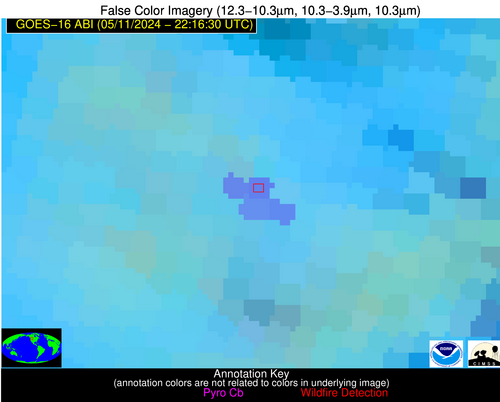
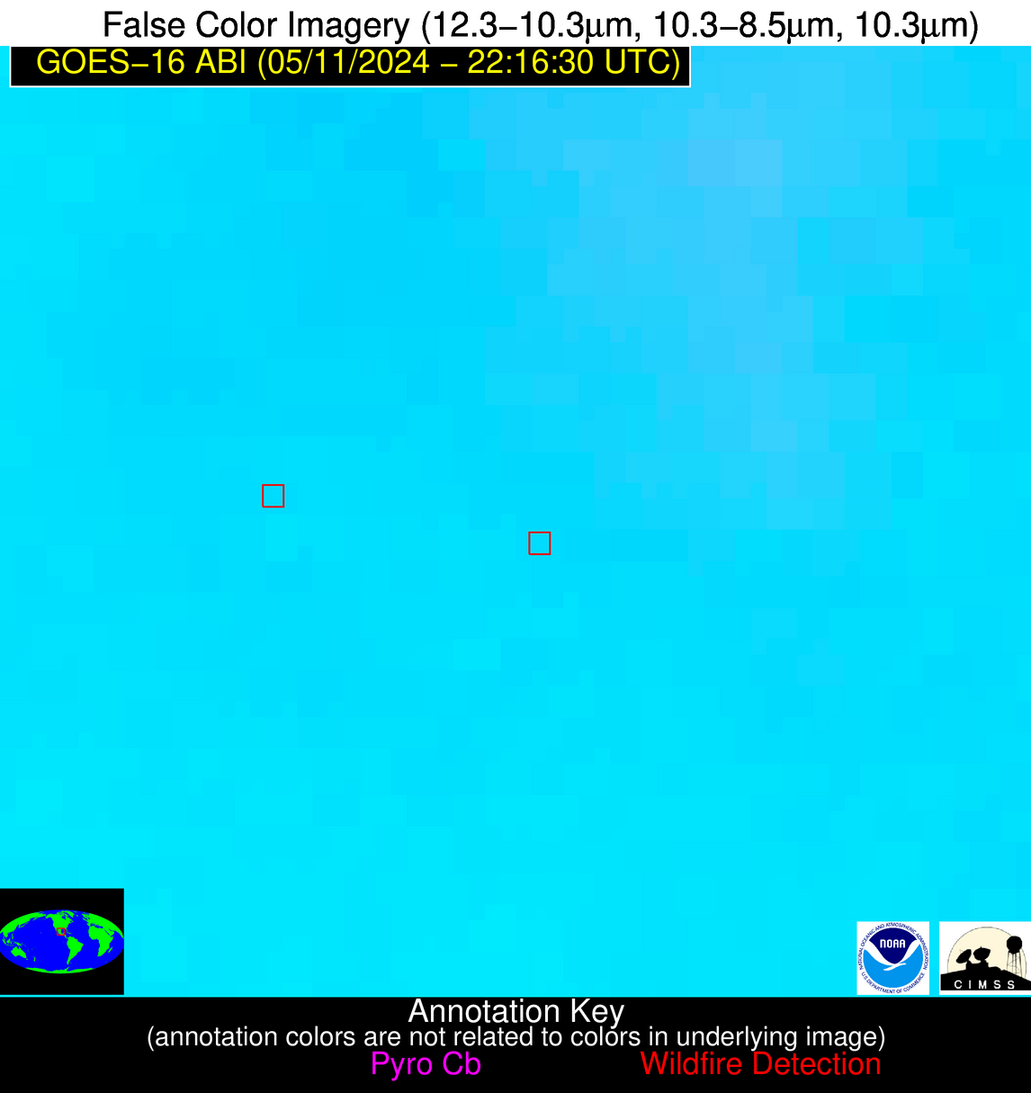
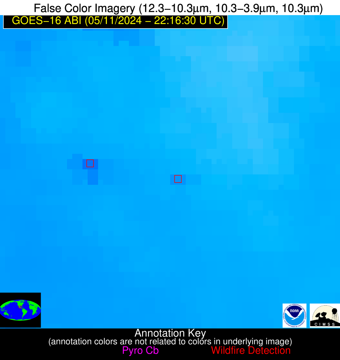
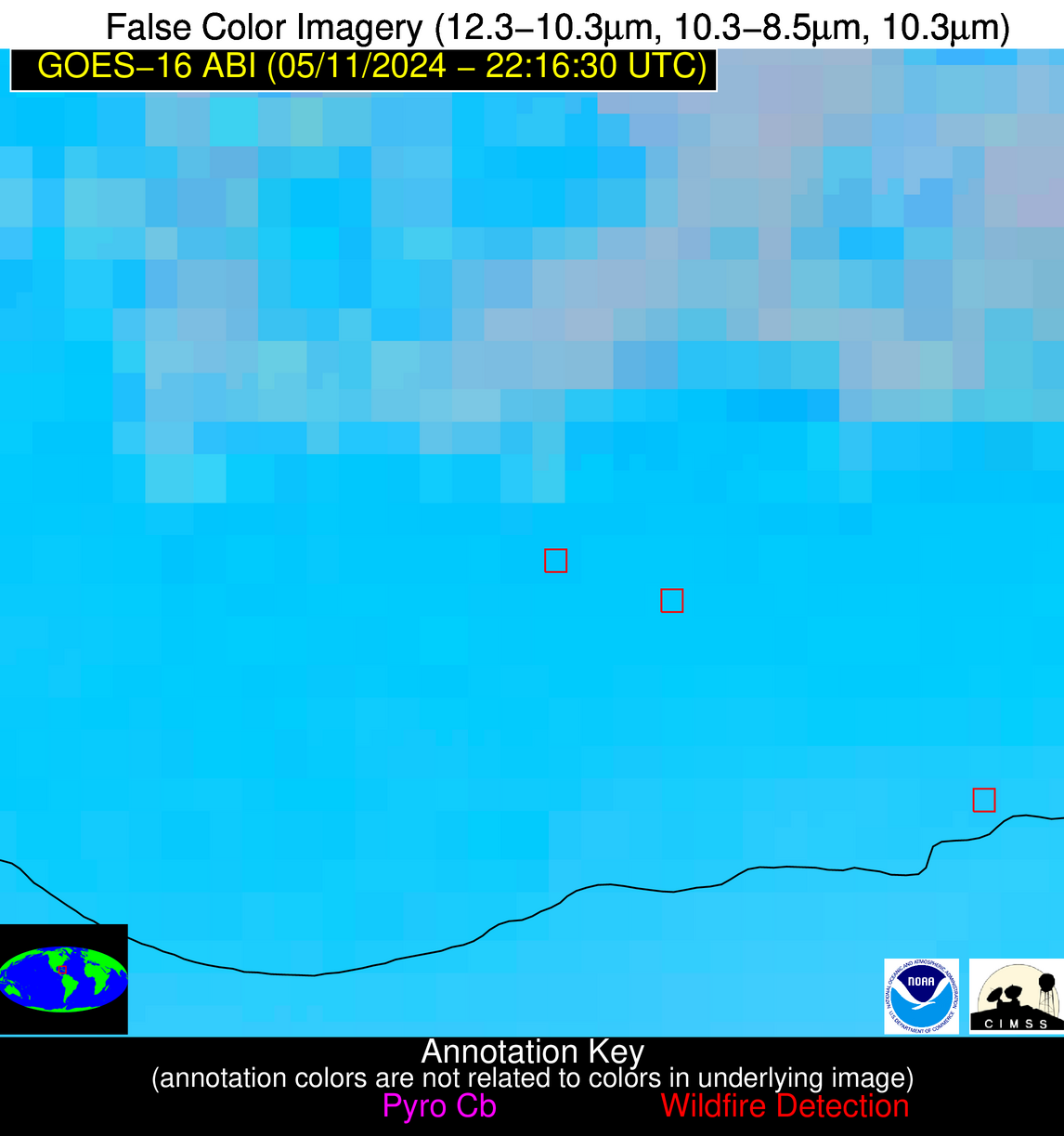
Wildfire Alert Report
| Date: | 2024-05-11 |
|---|---|
| Time: | 22:16:17 |
| Production Date and Time: | 2024-05-11 22:21:04 UTC |
| Primary Instrument: | GOES-16 ABI |
| Wmo Spacecraft Id: | 152 |
| Location/orbit: | GEO |
| L1 File: | OR_ABI-L1b-RadC-M6C14_G16_s20241322216175_e20241322218548_c20241322219032.nc |
| L1 File(s) - Temporal | OR_ABI-L1b-RadC-M6C14_G16_s20241322211175_e20241322213548_c20241322214046.nc |
| Number Of Thermal Anomaly Alerts: | 6 |
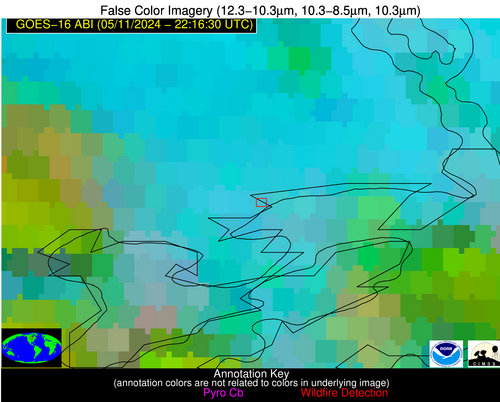
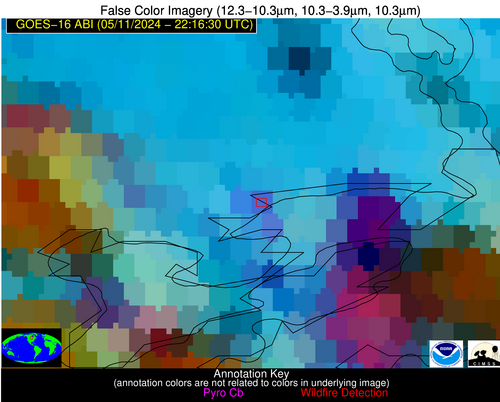
Possible Wildfire
| Basic Information | |
|---|---|
| State/Province(s) | Ontario |
| Country/Countries | Canada |
| County/Locality(s) | Canada |
| NWS WFO | N/A |
| Identification Method | Enhanced Contextual (Clear) |
| Mean Object Date/Time | 2024-05-11 22:16:21UTC |
| Radiative Center (Lat, Lon): | 49.690000°, -94.850000° |
| Nearby Counties (meeting alert criteria): |
|
| Total Radiative Power Anomaly | n/a |
| Total Radiative Power | 41.54 MW |
| Map: | |
| Additional Information | |
| Alert Status | New Feature |
| Type of Event | Nominal Risk |
| Event Priority Ranking | 4 |
| Maximum Observed BT (3.9 um) | 299.83 K |
| Observed - Background BT (3.9 um) | 7.95 K |
| BT Anomaly (3.9 um) | 5.20 K |
| Maximum Observed - Clear RTM BT (3.9 um) | 9.99 K |
| Maximum Observed BTD (3.9-10/11/12 um) | 18.37 K |
| Observed - Background BTD (3.9-10/11/12 um) | 7.41 K |
| BTD Anomaly (3.9-10/11/12 um) | 4.75 K |
| Similar Pixel Count | 7 |
| BT Time Tendency (3.9 um) | 10.00 K |
| Image Interval | 5.00 minutes |
| Fraction of Surrounding LWIR Pixels that are Colder | 0.89 |
| Fraction of Surrounding Red Channel Pixels that are Brighter | 1.00 |
| Maximum Radiative Power | 41.54 MW |
| Maximum Radiative Power Uncertainty | 0.00 MW |
| Total Radiative Power Uncertainty | 0.00 MW |
| Mean Viewing Angle | 60.30° |
| Mean Solar Zenith Angle | 57.30° |
| Mean Glint Angle | 63.60° |
| Water Fraction | 0.00 |
| Total Pixel Area | 10.00 km2 |
| Latest Satellite Imagery: | |
| View all event imagery » | |
Possible Wildfire
| Basic Information | |
|---|---|
| State/Province(s) | SD |
| Country/Countries | USA |
| County/Locality(s) | Brown County, SD |
| NWS WFO | Aberdeen SD |
| Identification Method | Enhanced Contextual (Cloud) |
| Mean Object Date/Time | 2024-05-11 22:16:20UTC |
| Radiative Center (Lat, Lon): | 45.730000°, -98.530000° |
| Nearby Counties (meeting alert criteria): |
|
| Total Radiative Power Anomaly | n/a |
| Total Radiative Power | 47.91 MW |
| Map: | |
| Additional Information | |
| Alert Status | New Feature |
| Type of Event | Nominal Risk |
| Event Priority Ranking | 4 |
| Maximum Observed BT (3.9 um) | 308.41 K |
| Observed - Background BT (3.9 um) | 9.25 K |
| BT Anomaly (3.9 um) | 4.65 K |
| Maximum Observed - Clear RTM BT (3.9 um) | 16.67 K |
| Maximum Observed BTD (3.9-10/11/12 um) | 21.41 K |
| Observed - Background BTD (3.9-10/11/12 um) | 9.82 K |
| BTD Anomaly (3.9-10/11/12 um) | 6.35 K |
| Similar Pixel Count | 0 |
| BT Time Tendency (3.9 um) | 6.00 K |
| Image Interval | 5.00 minutes |
| Fraction of Surrounding LWIR Pixels that are Colder | 0.38 |
| Fraction of Surrounding Red Channel Pixels that are Brighter | 1.00 |
| Maximum Radiative Power | 47.91 MW |
| Maximum Radiative Power Uncertainty | 0.00 MW |
| Total Radiative Power Uncertainty | 0.00 MW |
| Mean Viewing Angle | 57.80° |
| Mean Solar Zenith Angle | 54.10° |
| Mean Glint Angle | 57.10° |
| Water Fraction | 0.00 |
| Total Pixel Area | 9.40 km2 |
| Latest Satellite Imagery: | |
| View all event imagery » | |
Possible Wildfire
| Basic Information | |
|---|---|
| State/Province(s) | MT |
| Country/Countries | USA |
| County/Locality(s) | Granite County, MT |
| NWS WFO | Missoula MT |
| Identification Method | Enhanced Contextual (Clear) |
| Mean Object Date/Time | 2024-05-11 22:16:19UTC |
| Radiative Center (Lat, Lon): | 46.150000°, -113.600000° |
| Nearby Counties (meeting alert criteria): |
|
| Total Radiative Power Anomaly | n/a |
| Total Radiative Power | 174.44 MW |
| Map: | |
| Additional Information | |
| Alert Status | New Feature |
| Type of Event | Nominal Risk |
| Event Priority Ranking | 4 |
| Maximum Observed BT (3.9 um) | 302.59 K |
| Observed - Background BT (3.9 um) | 9.07 K |
| BT Anomaly (3.9 um) | 3.96 K |
| Maximum Observed - Clear RTM BT (3.9 um) | 15.72 K |
| Maximum Observed BTD (3.9-10/11/12 um) | 14.89 K |
| Observed - Background BTD (3.9-10/11/12 um) | 8.89 K |
| BTD Anomaly (3.9-10/11/12 um) | 6.34 K |
| Similar Pixel Count | 4 |
| BT Time Tendency (3.9 um) | 6.70 K |
| Image Interval | 5.00 minutes |
| Fraction of Surrounding LWIR Pixels that are Colder | 0.74 |
| Fraction of Surrounding Red Channel Pixels that are Brighter | 0.88 |
| Maximum Radiative Power | 49.29 MW |
| Maximum Radiative Power Uncertainty | 0.00 MW |
| Total Radiative Power Uncertainty | 0.00 MW |
| Mean Viewing Angle | 65.40° |
| Mean Solar Zenith Angle | 44.30° |
| Mean Glint Angle | 57.50° |
| Water Fraction | 0.00 |
| Total Pixel Area | 59.70 km2 |
| Latest Satellite Imagery: | |
| View all event imagery » | |
Possible Wildfire
| Basic Information | |
|---|---|
| State/Province(s) | IA |
| Country/Countries | USA |
| County/Locality(s) | Sioux County, IA |
| NWS WFO | Sioux Falls SD |
| Identification Method | Enhanced Contextual (Clear) |
| Mean Object Date/Time | 2024-05-11 22:16:50UTC |
| Radiative Center (Lat, Lon): | 43.010000°, -96.180000° |
| Nearby Counties (meeting alert criteria): |
|
| Total Radiative Power Anomaly | n/a |
| Total Radiative Power | 14.89 MW |
| Map: | |
| Additional Information | |
| Alert Status | New Feature |
| Type of Event | Nominal Risk |
| Event Priority Ranking | 4 |
| Maximum Observed BT (3.9 um) | 307.96 K |
| Observed - Background BT (3.9 um) | 2.91 K |
| BT Anomaly (3.9 um) | 4.11 K |
| Maximum Observed - Clear RTM BT (3.9 um) | 16.61 K |
| Maximum Observed BTD (3.9-10/11/12 um) | 12.90 K |
| Observed - Background BTD (3.9-10/11/12 um) | 2.95 K |
| BTD Anomaly (3.9-10/11/12 um) | 5.24 K |
| Similar Pixel Count | 25 |
| BT Time Tendency (3.9 um) | 0.90 K |
| Image Interval | 5.00 minutes |
| Fraction of Surrounding LWIR Pixels that are Colder | 0.49 |
| Fraction of Surrounding Red Channel Pixels that are Brighter | 1.00 |
| Maximum Radiative Power | 14.89 MW |
| Maximum Radiative Power Uncertainty | 0.00 MW |
| Total Radiative Power Uncertainty | 0.00 MW |
| Mean Viewing Angle | 54.20° |
| Mean Solar Zenith Angle | 55.30° |
| Mean Glint Angle | 54.60° |
| Water Fraction | 0.00 |
| Total Pixel Area | 8.30 km2 |
| Latest Satellite Imagery: | |
| View all event imagery » | |
Possible Wildfire
| Basic Information | |
|---|---|
| State/Province(s) | Unknown |
| Country/Countries | Mexico |
| County/Locality(s) | Mexico |
| NWS WFO | N/A |
| Identification Method | Enhanced Contextual (Clear) |
| Mean Object Date/Time | 2024-05-11 22:18:19UTC |
| Radiative Center (Lat, Lon): | 23.030000°, -98.380000° |
| Nearby Counties (meeting alert criteria): |
|
| Total Radiative Power Anomaly | n/a |
| Total Radiative Power | 16.42 MW |
| Map: | |
| Additional Information | |
| Alert Status | New Feature |
| Type of Event | Nominal Risk |
| Event Priority Ranking | 4 |
| Maximum Observed BT (3.9 um) | 314.23 K |
| Observed - Background BT (3.9 um) | 3.73 K |
| BT Anomaly (3.9 um) | 1.43 K |
| Maximum Observed - Clear RTM BT (3.9 um) | 11.11 K |
| Maximum Observed BTD (3.9-10/11/12 um) | 14.60 K |
| Observed - Background BTD (3.9-10/11/12 um) | 3.25 K |
| BTD Anomaly (3.9-10/11/12 um) | 1.78 K |
| Similar Pixel Count | 19 |
| BT Time Tendency (3.9 um) | 4.20 K |
| Image Interval | 5.00 minutes |
| Fraction of Surrounding LWIR Pixels that are Colder | 0.67 |
| Fraction of Surrounding Red Channel Pixels that are Brighter | 1.00 |
| Maximum Radiative Power | 16.42 MW |
| Maximum Radiative Power Uncertainty | 0.00 MW |
| Total Radiative Power Uncertainty | 0.00 MW |
| Mean Viewing Angle | 37.70° |
| Mean Solar Zenith Angle | 53.00° |
| Mean Glint Angle | 29.90° |
| Water Fraction | 0.00 |
| Total Pixel Area | 5.60 km2 |
| Latest Satellite Imagery: | |
| View all event imagery » | |
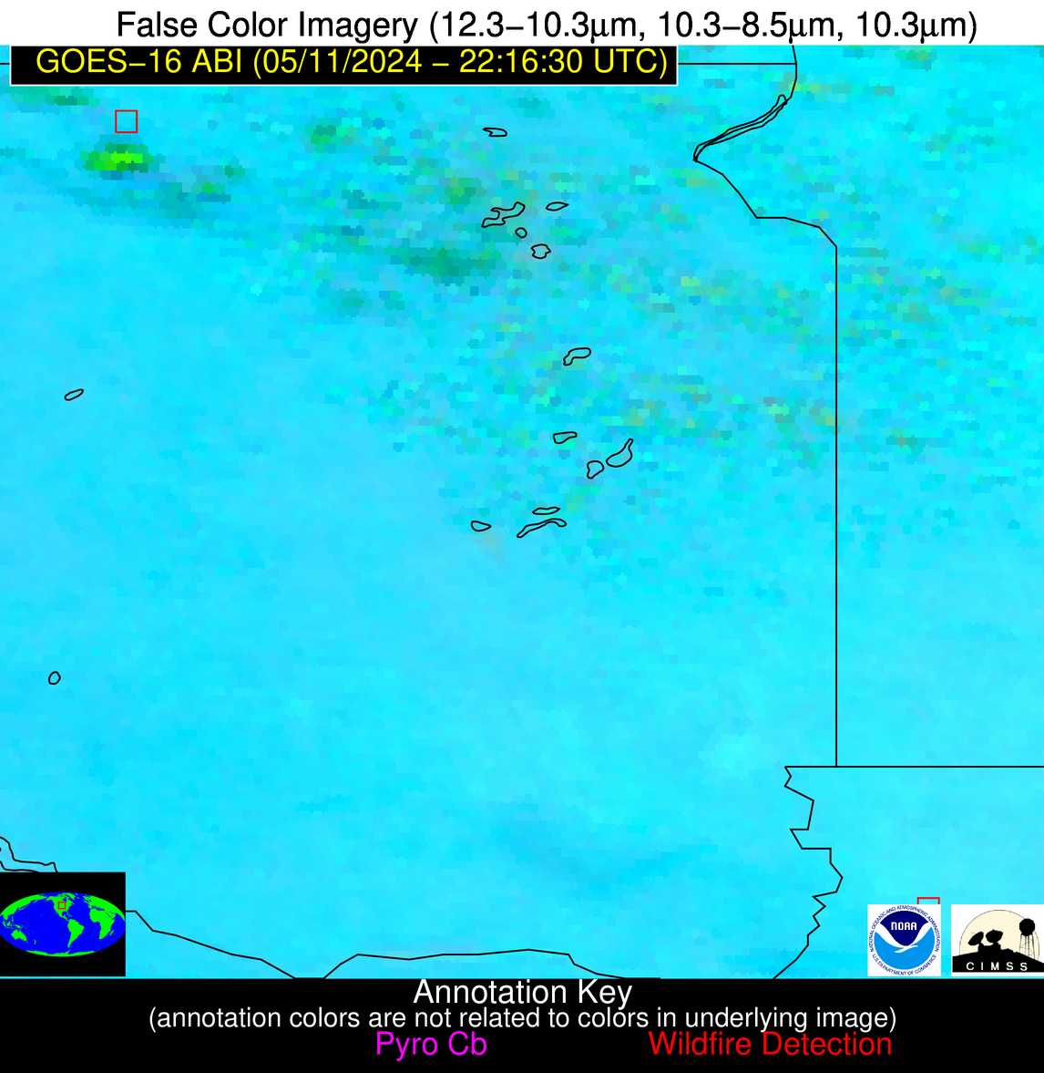
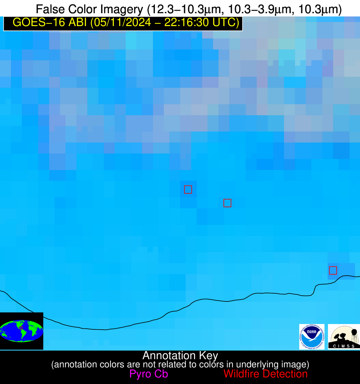
Possible Wildfire
| Basic Information | |
|---|---|
| State/Province(s) | Unknown |
| Country/Countries | Cuba |
| County/Locality(s) | Cuba |
| NWS WFO | N/A |
| Identification Method | Enhanced Contextual (Clear) |
| Mean Object Date/Time | 2024-05-11 22:18:22UTC |
| Radiative Center (Lat, Lon): | 21.750000°, -79.080000° |
| Nearby Counties (meeting alert criteria): |
|
| Total Radiative Power Anomaly | n/a |
| Total Radiative Power | 10.54 MW |
| Map: | |
| Additional Information | |
| Alert Status | New Feature |
| Type of Event | Nominal Risk |
| Event Priority Ranking | 4 |
| Maximum Observed BT (3.9 um) | 307.11 K |
| Observed - Background BT (3.9 um) | 4.21 K |
| BT Anomaly (3.9 um) | 5.16 K |
| Maximum Observed - Clear RTM BT (3.9 um) | 2.86 K |
| Maximum Observed BTD (3.9-10/11/12 um) | 13.81 K |
| Observed - Background BTD (3.9-10/11/12 um) | 4.83 K |
| BTD Anomaly (3.9-10/11/12 um) | 4.29 K |
| Similar Pixel Count | 22 |
| BT Time Tendency (3.9 um) | 1.20 K |
| Image Interval | 5.00 minutes |
| Fraction of Surrounding LWIR Pixels that are Colder | 0.51 |
| Fraction of Surrounding Red Channel Pixels that are Brighter | 1.00 |
| Maximum Radiative Power | 10.54 MW |
| Maximum Radiative Power Uncertainty | 0.00 MW |
| Total Radiative Power Uncertainty | 0.00 MW |
| Mean Viewing Angle | 26.00° |
| Mean Solar Zenith Angle | 70.80° |
| Mean Glint Angle | 63.00° |
| Water Fraction | 0.00 |
| Total Pixel Area | 4.60 km2 |
| Latest Satellite Imagery: | |
| View all event imagery » | |
