Wildfire Alert Report
| Date: | 2024-05-02 |
|---|---|
| Time: | 18:36:17 |
| Production Date and Time: | 2024-05-02 18:41:22 UTC |
| Primary Instrument: | GOES-16 ABI |
| Wmo Spacecraft Id: | 152 |
| Location/orbit: | GEO |
| L1 File: | OR_ABI-L1b-RadC-M6C14_G16_s20241231836171_e20241231838544_c20241231839043.nc |
| L1 File(s) - Temporal | OR_ABI-L1b-RadC-M6C14_G16_s20241231831171_e20241231833544_c20241231834038.nc |
| Number Of Thermal Anomaly Alerts: | 6 |
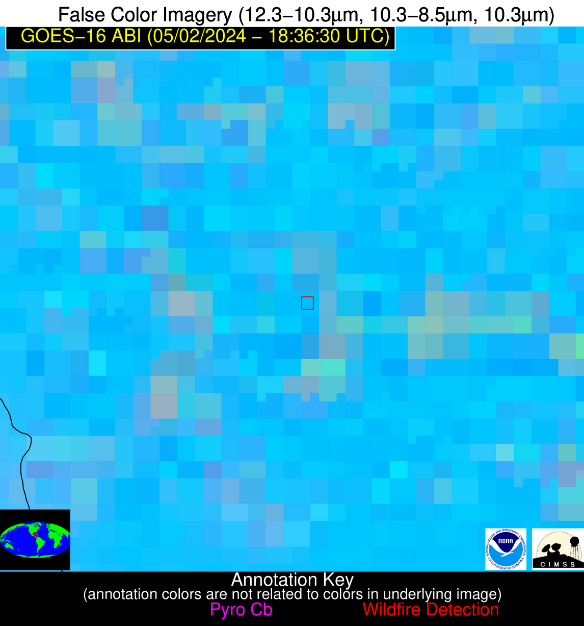
Possible Wildfire
| Basic Information | |
|---|---|
| State/Province(s) | SD |
| Country/Countries | USA |
| County/Locality(s) | Dewey County, SD |
| NWS WFO | Aberdeen SD |
| Identification Method | Enhanced Contextual (Cloud) |
| Mean Object Date/Time | 2024-05-02 18:36:20UTC |
| Radiative Center (Lat, Lon): | 45.330000°, -100.330000° |
| Nearby Counties (meeting alert criteria): |
|
| Total Radiative Power Anomaly | n/a |
| Total Radiative Power | 156.22 MW |
| Map: | |
| Additional Information | |
| Alert Status | New Feature |
| Type of Event | Nominal Risk |
| Event Priority Ranking | 4 |
| Maximum Observed BT (3.9 um) | 296.93 K |
| Observed - Background BT (3.9 um) | 21.77 K |
| BT Anomaly (3.9 um) | 9.99 K |
| Maximum Observed - Clear RTM BT (3.9 um) | 9.97 K |
| Maximum Observed BTD (3.9-10/11/12 um) | 35.39 K |
| Observed - Background BTD (3.9-10/11/12 um) | 20.99 K |
| BTD Anomaly (3.9-10/11/12 um) | 13.54 K |
| Similar Pixel Count | 0 |
| BT Time Tendency (3.9 um) | 9.40 K |
| Image Interval | 5.00 minutes |
| Fraction of Surrounding LWIR Pixels that are Colder | 0.43 |
| Fraction of Surrounding Red Channel Pixels that are Brighter | 0.43 |
| Maximum Radiative Power | 156.22 MW |
| Maximum Radiative Power Uncertainty | 0.00 MW |
| Total Radiative Power Uncertainty | 0.00 MW |
| Mean Viewing Angle | 58.20° |
| Mean Solar Zenith Angle | 29.90° |
| Mean Glint Angle | 84.20° |
| Water Fraction | 1.00 |
| Total Pixel Area | 9.60 km2 |
| Latest Satellite Imagery: | |
| View all event imagery » | |
Possible Wildfire
| Basic Information | |
|---|---|
| State/Province(s) | Unknown |
| Country/Countries | Unknown |
| County/Locality(s) | Unknown |
| NWS WFO | N/A |
| Identification Method | Enhanced Contextual (Cloud) |
| Mean Object Date/Time | 2024-05-02 18:37:18UTC |
| Radiative Center (Lat, Lon): | 34.670000°, -120.700000° |
| Nearby Counties (meeting alert criteria): |
|
| Total Radiative Power Anomaly | n/a |
| Total Radiative Power | 65.19 MW |
| Map: | |
| Additional Information | |
| Alert Status | New Feature |
| Type of Event | Nominal Risk |
| Event Priority Ranking | 4 |
| Maximum Observed BT (3.9 um) | 299.66 K |
| Observed - Background BT (3.9 um) | 17.38 K |
| BT Anomaly (3.9 um) | 18.20 K |
| Maximum Observed - Clear RTM BT (3.9 um) | 16.84 K |
| Maximum Observed BTD (3.9-10/11/12 um) | 18.72 K |
| Observed - Background BTD (3.9-10/11/12 um) | 16.71 K |
| BTD Anomaly (3.9-10/11/12 um) | 31.37 K |
| Similar Pixel Count | 0 |
| BT Time Tendency (3.9 um) | 17.50 K |
| Image Interval | 5.00 minutes |
| Fraction of Surrounding LWIR Pixels that are Colder | 0.61 |
| Fraction of Surrounding Red Channel Pixels that are Brighter | 1.00 |
| Maximum Radiative Power | 65.19 MW |
| Maximum Radiative Power Uncertainty | 0.00 MW |
| Total Radiative Power Uncertainty | 0.00 MW |
| Mean Viewing Angle | 62.90° |
| Mean Solar Zenith Angle | 26.80° |
| Mean Glint Angle | 89.20° |
| Water Fraction | 1.00 |
| Total Pixel Area | 13.50 km2 |
| Latest Satellite Imagery: | |
| View all event imagery » | |
Possible Wildfire
| Basic Information | |
|---|---|
| State/Province(s) | FL |
| Country/Countries | USA |
| County/Locality(s) | Bay County, FL |
| NWS WFO | Tallahassee FL |
| Identification Method | Enhanced Contextual (Clear) |
| Mean Object Date/Time | 2024-05-02 18:37:21UTC |
| Radiative Center (Lat, Lon): | 30.300000°, -85.730000° |
| Nearby Counties (meeting alert criteria): |
|
| Total Radiative Power Anomaly | n/a |
| Total Radiative Power | 35.74 MW |
| Map: | |
| Additional Information | |
| Alert Status | New Feature |
| Type of Event | Nominal Risk |
| Event Priority Ranking | 4 |
| Maximum Observed BT (3.9 um) | 312.00 K |
| Observed - Background BT (3.9 um) | 3.69 K |
| BT Anomaly (3.9 um) | 1.82 K |
| Maximum Observed - Clear RTM BT (3.9 um) | 9.18 K |
| Maximum Observed BTD (3.9-10/11/12 um) | 13.86 K |
| Observed - Background BTD (3.9-10/11/12 um) | 3.33 K |
| BTD Anomaly (3.9-10/11/12 um) | 2.28 K |
| Similar Pixel Count | 8 |
| BT Time Tendency (3.9 um) | 3.30 K |
| Image Interval | 5.00 minutes |
| Fraction of Surrounding LWIR Pixels that are Colder | 0.68 |
| Fraction of Surrounding Red Channel Pixels that are Brighter | 1.00 |
| Maximum Radiative Power | 19.62 MW |
| Maximum Radiative Power Uncertainty | 0.00 MW |
| Total Radiative Power Uncertainty | 0.00 MW |
| Mean Viewing Angle | 37.30° |
| Mean Solar Zenith Angle | 19.70° |
| Mean Glint Angle | 48.70° |
| Water Fraction | 0.00 |
| Total Pixel Area | 10.80 km2 |
| Latest Satellite Imagery: | |
| View all event imagery » | |
Possible Wildfire
| Basic Information | |
|---|---|
| State/Province(s) | FL |
| Country/Countries | USA |
| County/Locality(s) | DeSoto County, FL |
| NWS WFO | Tampa Bay Ruskin FL |
| Identification Method | Enhanced Contextual (Cloud) |
| Mean Object Date/Time | 2024-05-02 18:37:52UTC |
| Radiative Center (Lat, Lon): | 27.300000°, -81.790000° |
| Nearby Counties (meeting alert criteria): |
|
| Total Radiative Power Anomaly | n/a |
| Total Radiative Power | 173.97 MW |
| Map: | |
| Additional Information | |
| Alert Status | New Feature |
| Type of Event | Solar panel |
| Event Priority Ranking | 5 |
| Maximum Observed BT (3.9 um) | 333.23 K |
| Observed - Background BT (3.9 um) | 21.41 K |
| BT Anomaly (3.9 um) | 16.92 K |
| Maximum Observed - Clear RTM BT (3.9 um) | 26.16 K |
| Maximum Observed BTD (3.9-10/11/12 um) | 37.89 K |
| Observed - Background BTD (3.9-10/11/12 um) | 21.83 K |
| BTD Anomaly (3.9-10/11/12 um) | 19.83 K |
| Similar Pixel Count | 0 |
| BT Time Tendency (3.9 um) | 12.10 K |
| Image Interval | 5.00 minutes |
| Fraction of Surrounding LWIR Pixels that are Colder | 0.54 |
| Fraction of Surrounding Red Channel Pixels that are Brighter | 0.00 |
| Maximum Radiative Power | 115.24 MW |
| Maximum Radiative Power Uncertainty | 0.00 MW |
| Total Radiative Power Uncertainty | 0.00 MW |
| Mean Viewing Angle | 32.90° |
| Mean Solar Zenith Angle | 20.60° |
| Mean Glint Angle | 43.20° |
| Water Fraction | 0.00 |
| Total Pixel Area | 10.10 km2 |
| Latest Satellite Imagery: | |
| View all event imagery » | |
Possible Wildfire
| Basic Information | |
|---|---|
| State/Province(s) | FL |
| Country/Countries | USA |
| County/Locality(s) | Charlotte County, FL |
| NWS WFO | Tampa Bay Ruskin FL |
| Identification Method | Enhanced Contextual (Cloud) |
| Mean Object Date/Time | 2024-05-02 18:37:52UTC |
| Radiative Center (Lat, Lon): | 26.870000°, -81.730000° |
| Nearby Counties (meeting alert criteria): |
|
| Total Radiative Power Anomaly | n/a |
| Total Radiative Power | 156.25 MW |
| Map: | |
| Additional Information | |
| Alert Status | New Feature |
| Type of Event | Solar panel |
| Event Priority Ranking | 5 |
| Maximum Observed BT (3.9 um) | 338.04 K |
| Observed - Background BT (3.9 um) | 27.27 K |
| BT Anomaly (3.9 um) | 14.31 K |
| Maximum Observed - Clear RTM BT (3.9 um) | 32.19 K |
| Maximum Observed BTD (3.9-10/11/12 um) | 41.89 K |
| Observed - Background BTD (3.9-10/11/12 um) | 27.15 K |
| BTD Anomaly (3.9-10/11/12 um) | 19.39 K |
| Similar Pixel Count | 0 |
| BT Time Tendency (3.9 um) | 21.80 K |
| Image Interval | 5.00 minutes |
| Fraction of Surrounding LWIR Pixels that are Colder | 0.51 |
| Fraction of Surrounding Red Channel Pixels that are Brighter | 0.00 |
| Maximum Radiative Power | 156.25 MW |
| Maximum Radiative Power Uncertainty | 0.00 MW |
| Total Radiative Power Uncertainty | 0.00 MW |
| Mean Viewing Angle | 32.40° |
| Mean Solar Zenith Angle | 20.40° |
| Mean Glint Angle | 42.30° |
| Water Fraction | 0.00 |
| Total Pixel Area | 5.00 km2 |
| Latest Satellite Imagery: | |
| View all event imagery » | |
Possible Wildfire
| Basic Information | |
|---|---|
| State/Province(s) | Unknown |
| Country/Countries | Cuba |
| County/Locality(s) | Cuba |
| NWS WFO | N/A |
| Identification Method | Enhanced Contextual (Cloud) |
| Mean Object Date/Time | 2024-05-02 18:38:22UTC |
| Radiative Center (Lat, Lon): | 22.360000°, -80.870000° |
| Nearby Counties (meeting alert criteria): |
|
| Total Radiative Power Anomaly | n/a |
| Total Radiative Power | 185.76 MW |
| Map: | |
| Additional Information | |
| Alert Status | New Feature |
| Type of Event | Nominal Risk |
| Event Priority Ranking | 4 |
| Maximum Observed BT (3.9 um) | 324.85 K |
| Observed - Background BT (3.9 um) | 15.85 K |
| BT Anomaly (3.9 um) | 7.63 K |
| Maximum Observed - Clear RTM BT (3.9 um) | 14.53 K |
| Maximum Observed BTD (3.9-10/11/12 um) | 31.39 K |
| Observed - Background BTD (3.9-10/11/12 um) | 15.87 K |
| BTD Anomaly (3.9-10/11/12 um) | 8.44 K |
| Similar Pixel Count | 0 |
| BT Time Tendency (3.9 um) | 5.50 K |
| Image Interval | 5.00 minutes |
| Fraction of Surrounding LWIR Pixels that are Colder | 0.75 |
| Fraction of Surrounding Red Channel Pixels that are Brighter | 0.71 |
| Maximum Radiative Power | 121.08 MW |
| Maximum Radiative Power Uncertainty | 0.00 MW |
| Total Radiative Power Uncertainty | 0.00 MW |
| Mean Viewing Angle | 27.10° |
| Mean Solar Zenith Angle | 19.30° |
| Mean Glint Angle | 33.60° |
| Water Fraction | 0.00 |
| Total Pixel Area | 9.40 km2 |
| Latest Satellite Imagery: | |
| View all event imagery » | |
