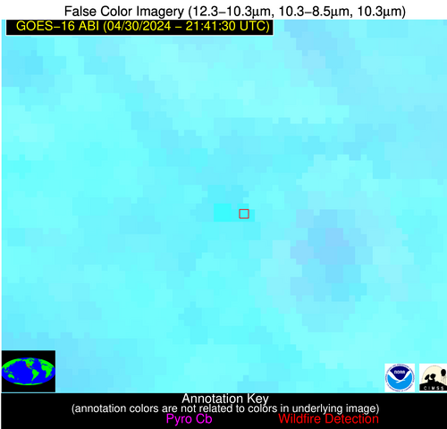
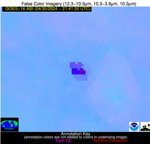
Wildfire Alert Report
| Date: | 2024-04-30 |
|---|---|
| Time: | 21:41:17 |
| Production Date and Time: | 2024-04-30 21:46:04 UTC |
| Primary Instrument: | GOES-16 ABI |
| Wmo Spacecraft Id: | 152 |
| Location/orbit: | GEO |
| L1 File: | OR_ABI-L1b-RadC-M6C14_G16_s20241212141170_e20241212143543_c20241212144033.nc |
| L1 File(s) - Temporal | OR_ABI-L1b-RadC-M6C14_G16_s20241212136170_e20241212138543_c20241212139038.nc |
| Number Of Thermal Anomaly Alerts: | 1 |
Possible Wildfire
| Basic Information | |
|---|---|
| State/Province(s) | NM |
| Country/Countries | USA |
| County/Locality(s) | Luna County, NM |
| NWS WFO | El Paso Tx/Santa Teresa NM |
| Identification Method | Enhanced Contextual (Cloud) |
| Mean Object Date/Time | 2024-04-30 21:42:19UTC |
| Radiative Center (Lat, Lon): | 32.160000°, -107.740000° |
| Nearby Counties (meeting alert criteria): |
|
| Total Radiative Power Anomaly | n/a |
| Total Radiative Power | 1049.35 MW |
| Map: | |
| Additional Information | |
| Alert Status | New Feature |
| Type of Event | Solar panel |
| Event Priority Ranking | 5 |
| Maximum Observed BT (3.9 um) | 364.71 K |
| Observed - Background BT (3.9 um) | 44.54 K |
| BT Anomaly (3.9 um) | 28.61 K |
| Maximum Observed - Clear RTM BT (3.9 um) | 60.92 K |
| Maximum Observed BTD (3.9-10/11/12 um) | 52.47 K |
| Observed - Background BTD (3.9-10/11/12 um) | 44.27 K |
| BTD Anomaly (3.9-10/11/12 um) | 83.14 K |
| Similar Pixel Count | 0 |
| BT Time Tendency (3.9 um) | 33.70 K |
| Image Interval | 5.00 minutes |
| Fraction of Surrounding LWIR Pixels that are Colder | 0.67 |
| Fraction of Surrounding Red Channel Pixels that are Brighter | 0.00 |
| Maximum Radiative Power | 539.90 MW |
| Maximum Radiative Power Uncertainty | 0.00 MW |
| Total Radiative Power Uncertainty | 0.00 MW |
| Mean Viewing Angle | 51.50° |
| Mean Solar Zenith Angle | 38.90° |
| Mean Glint Angle | 41.30° |
| Water Fraction | 0.00 |
| Total Pixel Area | 16.00 km2 |
| Latest Satellite Imagery: | |
| View all event imagery » | |


