Wildfire Alert Report
| Date: | 2024-04-29 |
|---|---|
| Time: | 23:01:17 |
| Production Date and Time: | 2024-04-29 23:06:19 UTC |
| Primary Instrument: | GOES-16 ABI |
| Wmo Spacecraft Id: | 152 |
| Location/orbit: | GEO |
| L1 File: | OR_ABI-L1b-RadC-M6C14_G16_s20241202301170_e20241202303543_c20241202304061.nc |
| L1 File(s) - Temporal | OR_ABI-L1b-RadC-M6C14_G16_s20241202256170_e20241202258543_c20241202259045.nc |
| Number Of Thermal Anomaly Alerts: | 3 |
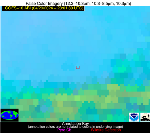
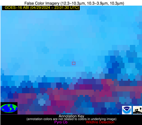
Possible Wildfire
| Basic Information | |
|---|---|
| State/Province(s) | KS |
| Country/Countries | USA |
| County/Locality(s) | Riley County, KS |
| NWS WFO | Topeka KS |
| Identification Method | Enhanced Contextual (Clear) |
| Mean Object Date/Time | 2024-04-29 23:01:50UTC |
| Radiative Center (Lat, Lon): | 39.440000°, -96.850000° |
| Nearby Counties (meeting alert criteria): |
|
| Total Radiative Power Anomaly | n/a |
| Total Radiative Power | 10.76 MW |
| Map: | |
| Additional Information | |
| Alert Status | New Feature |
| Type of Event | Nominal Risk |
| Event Priority Ranking | 4 |
| Maximum Observed BT (3.9 um) | 299.19 K |
| Observed - Background BT (3.9 um) | 3.52 K |
| BT Anomaly (3.9 um) | 9.27 K |
| Maximum Observed - Clear RTM BT (3.9 um) | 9.48 K |
| Maximum Observed BTD (3.9-10/11/12 um) | 9.99 K |
| Observed - Background BTD (3.9-10/11/12 um) | 3.63 K |
| BTD Anomaly (3.9-10/11/12 um) | 4.60 K |
| Similar Pixel Count | 19 |
| BT Time Tendency (3.9 um) | 1.60 K |
| Image Interval | 5.00 minutes |
| Fraction of Surrounding LWIR Pixels that are Colder | 0.64 |
| Fraction of Surrounding Red Channel Pixels that are Brighter | 1.00 |
| Maximum Radiative Power | 10.76 MW |
| Maximum Radiative Power Uncertainty | 0.00 MW |
| Total Radiative Power Uncertainty | 0.00 MW |
| Mean Viewing Angle | 51.10° |
| Mean Solar Zenith Angle | 64.90° |
| Mean Glint Angle | 51.40° |
| Water Fraction | 0.00 |
| Total Pixel Area | 7.60 km2 |
| Latest Satellite Imagery: | |
| View all event imagery » | |
Possible Wildfire
| Basic Information | |
|---|---|
| State/Province(s) | GA |
| Country/Countries | USA |
| County/Locality(s) | Washington County, GA |
| NWS WFO | Peachtree City GA |
| Identification Method | Enhanced Contextual (Clear) |
| Mean Object Date/Time | 2024-04-29 23:02:22UTC |
| Radiative Center (Lat, Lon): | 32.900000°, -82.570000° |
| Nearby Counties (meeting alert criteria): |
|
| Total Radiative Power Anomaly | n/a |
| Total Radiative Power | 33.10 MW |
| Map: | |
| Additional Information | |
| Alert Status | New Feature |
| Type of Event | Nominal Risk |
| Event Priority Ranking | 4 |
| Maximum Observed BT (3.9 um) | 301.77 K |
| Observed - Background BT (3.9 um) | 6.75 K |
| BT Anomaly (3.9 um) | 11.01 K |
| Maximum Observed - Clear RTM BT (3.9 um) | 10.86 K |
| Maximum Observed BTD (3.9-10/11/12 um) | 12.24 K |
| Observed - Background BTD (3.9-10/11/12 um) | 6.24 K |
| BTD Anomaly (3.9-10/11/12 um) | 6.23 K |
| Similar Pixel Count | 5 |
| BT Time Tendency (3.9 um) | 5.80 K |
| Image Interval | 5.00 minutes |
| Fraction of Surrounding LWIR Pixels that are Colder | 0.77 |
| Fraction of Surrounding Red Channel Pixels that are Brighter | 0.51 |
| Maximum Radiative Power | 17.14 MW |
| Maximum Radiative Power Uncertainty | 0.00 MW |
| Total Radiative Power Uncertainty | 0.00 MW |
| Mean Viewing Angle | 39.30° |
| Mean Solar Zenith Angle | 76.80° |
| Mean Glint Angle | 65.80° |
| Water Fraction | 0.00 |
| Total Pixel Area | 11.20 km2 |
| Latest Satellite Imagery: | |
| View all event imagery » | |
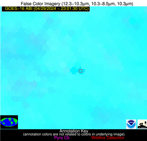
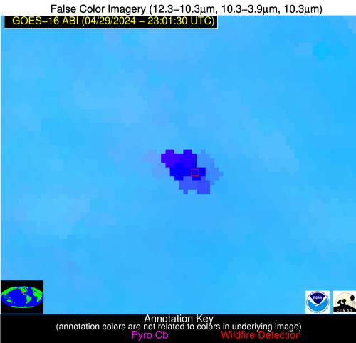
Possible Wildfire
| Basic Information | |
|---|---|
| State/Province(s) | AZ |
| Country/Countries | USA |
| County/Locality(s) | Maricopa County, AZ |
| NWS WFO | Phoenix AZ |
| Identification Method | Enhanced Contextual (Cloud) |
| Mean Object Date/Time | 2024-04-29 23:02:18UTC |
| Radiative Center (Lat, Lon): | 33.010000°, -112.640000° |
| Nearby Counties (meeting alert criteria): |
|
| Total Radiative Power Anomaly | n/a |
| Total Radiative Power | 2264.88 MW |
| Map: | |
| Additional Information | |
| Alert Status | New Feature |
| Type of Event | Solar panel |
| Event Priority Ranking | 5 |
| Maximum Observed BT (3.9 um) | 366.19 K |
| Observed - Background BT (3.9 um) | 50.85 K |
| BT Anomaly (3.9 um) | 28.29 K |
| Maximum Observed - Clear RTM BT (3.9 um) | 58.19 K |
| Maximum Observed BTD (3.9-10/11/12 um) | 57.18 K |
| Observed - Background BTD (3.9-10/11/12 um) | 49.32 K |
| BTD Anomaly (3.9-10/11/12 um) | 77.80 K |
| Similar Pixel Count | 0 |
| BT Time Tendency (3.9 um) | 46.80 K |
| Image Interval | 5.00 minutes |
| Fraction of Surrounding LWIR Pixels that are Colder | 0.85 |
| Fraction of Surrounding Red Channel Pixels that are Brighter | 0.00 |
| Maximum Radiative Power | 688.83 MW |
| Maximum Radiative Power Uncertainty | 0.00 MW |
| Total Radiative Power Uncertainty | 0.00 MW |
| Mean Viewing Angle | 55.70° |
| Mean Solar Zenith Angle | 51.70° |
| Mean Glint Angle | 34.60° |
| Water Fraction | 0.00 |
| Total Pixel Area | 56.50 km2 |
| Latest Satellite Imagery: | |
| View all event imagery » | |


