Wildfire Alert Report
| Date: | 2024-04-21 |
|---|---|
| Time: | 22:11:17 |
| Production Date and Time: | 2024-04-21 22:16:33 UTC |
| Primary Instrument: | GOES-16 ABI |
| Wmo Spacecraft Id: | 152 |
| Location/orbit: | GEO |
| L1 File: | OR_ABI-L1b-RadC-M6C14_G16_s20241122211171_e20241122213544_c20241122214045.nc |
| L1 File(s) - Temporal | OR_ABI-L1b-RadC-M6C14_G16_s20241122206171_e20241122208544_c20241122209023.nc |
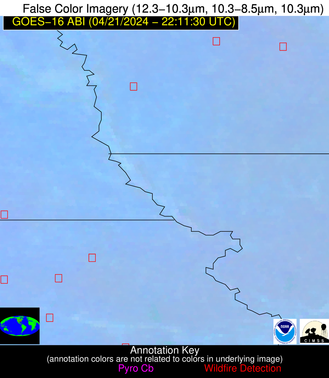
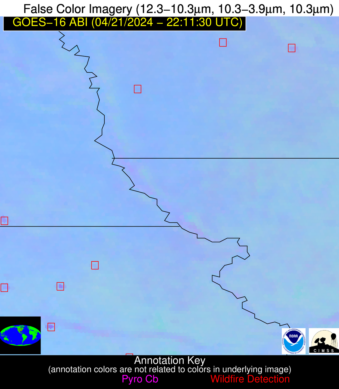
| Number Of Thermal Anomaly Alerts: | 4 |
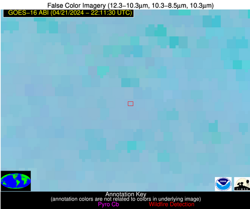
Possible Wildfire
| Basic Information | |
|---|---|
| State/Province(s) | WI |
| Country/Countries | USA |
| County/Locality(s) | Waukesha County, WI |
| NWS WFO | Milwaukee/Sullivan WI |
| Identification Method | Enhanced Contextual (Clear) |
| Mean Object Date/Time | 2024-04-21 22:11:21UTC |
| Radiative Center (Lat, Lon): | 42.980000°, -88.340000° |
| Nearby Counties (meeting alert criteria): |
|
| Total Radiative Power Anomaly | n/a |
| Total Radiative Power | 7.61 MW |
| Map: | |
| Additional Information | |
| Alert Status | New Feature |
| Type of Event | Nominal Risk |
| Event Priority Ranking | 4 |
| Maximum Observed BT (3.9 um) | 292.29 K |
| Observed - Background BT (3.9 um) | 3.61 K |
| BT Anomaly (3.9 um) | 4.48 K |
| Maximum Observed - Clear RTM BT (3.9 um) | 12.41 K |
| Maximum Observed BTD (3.9-10/11/12 um) | 8.23 K |
| Observed - Background BTD (3.9-10/11/12 um) | 2.97 K |
| BTD Anomaly (3.9-10/11/12 um) | 4.15 K |
| Similar Pixel Count | 4 |
| BT Time Tendency (3.9 um) | 2.80 K |
| Image Interval | 5.00 minutes |
| Fraction of Surrounding LWIR Pixels that are Colder | 0.86 |
| Fraction of Surrounding Red Channel Pixels that are Brighter | 1.00 |
| Maximum Radiative Power | 7.61 MW |
| Maximum Radiative Power Uncertainty | 0.00 MW |
| Total Radiative Power Uncertainty | 0.00 MW |
| Mean Viewing Angle | 51.60° |
| Mean Solar Zenith Angle | 63.60° |
| Mean Glint Angle | 66.20° |
| Water Fraction | 0.00 |
| Total Pixel Area | 7.40 km2 |
| Latest Satellite Imagery: | |
| View all event imagery » | |
Possible Wildfire
| Basic Information | |
|---|---|
| State/Province(s) | IA |
| Country/Countries | USA |
| County/Locality(s) | Guthrie County, IA |
| NWS WFO | Des Moines IA |
| Identification Method | Enhanced Contextual (Clear) |
| Mean Object Date/Time | 2024-04-21 22:11:50UTC |
| Radiative Center (Lat, Lon): | 41.530000°, -94.570000° |
| Nearby Counties (meeting alert criteria): |
|
| Total Radiative Power Anomaly | n/a |
| Total Radiative Power | 8.75 MW |
| Map: | |
| Additional Information | |
| Alert Status | New Feature |
| Type of Event | Nominal Risk |
| Event Priority Ranking | 4 |
| Maximum Observed BT (3.9 um) | 297.95 K |
| Observed - Background BT (3.9 um) | 3.89 K |
| BT Anomaly (3.9 um) | 3.62 K |
| Maximum Observed - Clear RTM BT (3.9 um) | 16.15 K |
| Maximum Observed BTD (3.9-10/11/12 um) | 8.61 K |
| Observed - Background BTD (3.9-10/11/12 um) | 3.30 K |
| BTD Anomaly (3.9-10/11/12 um) | 5.17 K |
| Similar Pixel Count | 6 |
| BT Time Tendency (3.9 um) | 2.60 K |
| Image Interval | 5.00 minutes |
| Fraction of Surrounding LWIR Pixels that are Colder | 0.89 |
| Fraction of Surrounding Red Channel Pixels that are Brighter | 1.00 |
| Maximum Radiative Power | 8.75 MW |
| Maximum Radiative Power Uncertainty | 0.00 MW |
| Total Radiative Power Uncertainty | 0.00 MW |
| Mean Viewing Angle | 52.20° |
| Mean Solar Zenith Angle | 58.80° |
| Mean Glint Angle | 60.10° |
| Water Fraction | 0.00 |
| Total Pixel Area | 7.70 km2 |
| Latest Satellite Imagery: | |
| View all event imagery » | |
Possible Wildfire
| Basic Information | |
|---|---|
| State/Province(s) | KS |
| Country/Countries | USA |
| County/Locality(s) | Pottawatomie County, KS |
| NWS WFO | Topeka KS |
| Identification Method | Enhanced Contextual (Clear) |
| Mean Object Date/Time | 2024-04-21 22:11:50UTC |
| Radiative Center (Lat, Lon): | 39.490000°, -96.110000° |
| Nearby Counties (meeting alert criteria): |
|
| Total Radiative Power Anomaly | n/a |
| Total Radiative Power | 29.09 MW |
| Map: | |
| Additional Information | |
| Alert Status | New Feature |
| Type of Event | Nominal Risk |
| Event Priority Ranking | 4 |
| Maximum Observed BT (3.9 um) | 303.50 K |
| Observed - Background BT (3.9 um) | 8.88 K |
| BT Anomaly (3.9 um) | 6.79 K |
| Maximum Observed - Clear RTM BT (3.9 um) | 19.17 K |
| Maximum Observed BTD (3.9-10/11/12 um) | 13.33 K |
| Observed - Background BTD (3.9-10/11/12 um) | 8.97 K |
| BTD Anomaly (3.9-10/11/12 um) | 17.02 K |
| Similar Pixel Count | 1 |
| BT Time Tendency (3.9 um) | 6.90 K |
| Image Interval | 5.00 minutes |
| Fraction of Surrounding LWIR Pixels that are Colder | 0.50 |
| Fraction of Surrounding Red Channel Pixels that are Brighter | 1.00 |
| Maximum Radiative Power | 29.09 MW |
| Maximum Radiative Power Uncertainty | 0.00 MW |
| Total Radiative Power Uncertainty | 0.00 MW |
| Mean Viewing Angle | 50.80° |
| Mean Solar Zenith Angle | 57.20° |
| Mean Glint Angle | 56.60° |
| Water Fraction | 0.00 |
| Total Pixel Area | 7.50 km2 |
| Latest Satellite Imagery: | |
| View all event imagery » | |
Possible Wildfire
| Basic Information | |
|---|---|
| State/Province(s) | KS |
| Country/Countries | USA |
| County/Locality(s) | Wabaunsee County, KS |
| NWS WFO | Topeka KS |
| Identification Method | Enhanced Contextual (Clear) |
| Mean Object Date/Time | 2024-04-21 22:11:50UTC |
| Radiative Center (Lat, Lon): | 39.140000°, -96.170000° |
| Nearby Counties (meeting alert criteria): |
|
| Total Radiative Power Anomaly | n/a |
| Total Radiative Power | 33.21 MW |
| Map: | |
| Additional Information | |
| Alert Status | New Feature |
| Type of Event | Nominal Risk |
| Event Priority Ranking | 4 |
| Maximum Observed BT (3.9 um) | 305.29 K |
| Observed - Background BT (3.9 um) | 9.75 K |
| BT Anomaly (3.9 um) | 7.55 K |
| Maximum Observed - Clear RTM BT (3.9 um) | 20.10 K |
| Maximum Observed BTD (3.9-10/11/12 um) | 14.34 K |
| Observed - Background BTD (3.9-10/11/12 um) | 9.71 K |
| BTD Anomaly (3.9-10/11/12 um) | 12.16 K |
| Similar Pixel Count | 1 |
| BT Time Tendency (3.9 um) | 8.50 K |
| Image Interval | 5.00 minutes |
| Fraction of Surrounding LWIR Pixels that are Colder | 0.53 |
| Fraction of Surrounding Red Channel Pixels that are Brighter | 1.00 |
| Maximum Radiative Power | 33.21 MW |
| Maximum Radiative Power Uncertainty | 0.00 MW |
| Total Radiative Power Uncertainty | 0.00 MW |
| Mean Viewing Angle | 50.50° |
| Mean Solar Zenith Angle | 57.10° |
| Mean Glint Angle | 56.10° |
| Water Fraction | 0.00 |
| Total Pixel Area | 7.40 km2 |
| Latest Satellite Imagery: | |
| View all event imagery » | |


