Wildfire Alert Report
| Date: | 2024-04-21 |
|---|---|
| Time: | 00:06:17 |
| Production Date and Time: | 2024-04-21 00:10:59 UTC |
| Primary Instrument: | GOES-16 ABI |
| Wmo Spacecraft Id: | 152 |
| Location/orbit: | GEO |
| L1 File: | OR_ABI-L1b-RadC-M6C14_G16_s20241120006171_e20241120008544_c20241120009029.nc |
| L1 File(s) - Temporal | OR_ABI-L1b-RadC-M6C14_G16_s20241120001171_e20241120003544_c20241120004043.nc |
| Number Of Thermal Anomaly Alerts: | 2 |
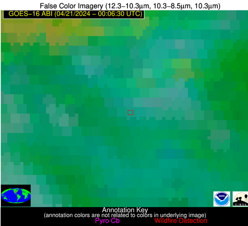
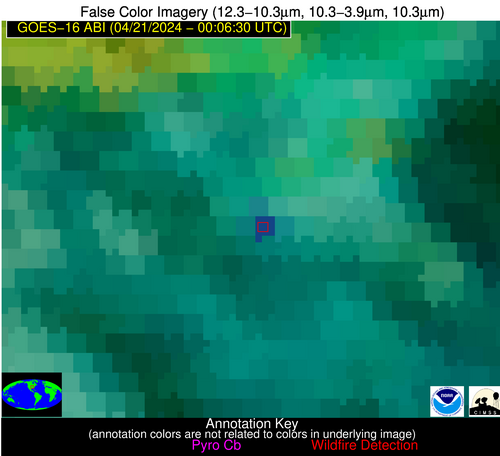
Possible Wildfire
| Basic Information | |
|---|---|
| State/Province(s) | MO |
| Country/Countries | USA |
| County/Locality(s) | Texas County, MO |
| NWS WFO | Springfield MO |
| Identification Method | Enhanced Contextual (Cloud) |
| Mean Object Date/Time | 2024-04-21 00:06:51UTC |
| Radiative Center (Lat, Lon): | 37.290°, -91.860° |
| Nearby Counties (meeting alert criteria): |
|
| Total Radiative Power Anomaly | n/a |
| Total Radiative Power | 35.02 MW |
| Map: | |
| Additional Information | |
| Alert Status | New Feature |
| Type of Event | Nominal Risk |
| Event Priority Ranking | 4 |
| Maximum Observed BT (3.9 um) | 290.03 K |
| Observed - Background BT (3.9 um) | 13.40 K |
| BT Anomaly (3.9 um) | 10.43 K |
| Maximum Observed - Clear RTM BT (3.9 um) | 10.56 K |
| Maximum Observed BTD (3.9-10/11/12 um) | 25.12 K |
| Observed - Background BTD (3.9-10/11/12 um) | 13.10 K |
| BTD Anomaly (3.9-10/11/12 um) | 7.53 K |
| Similar Pixel Count | 0 |
| BT Time Tendency (3.9 um) | 1.20 K |
| Image Interval | 5.00 minutes |
| Fraction of Surrounding LWIR Pixels that are Colder | 0.87 |
| Fraction of Surrounding Red Channel Pixels that are Brighter | 0.98 |
| Maximum Radiative Power | 35.02 MW |
| Maximum Radiative Power Uncertainty | 0.00 MW |
| Total Radiative Power Uncertainty | 0.00 MW |
| Mean Viewing Angle | 46.90° |
| Mean Solar Zenith Angle | 82.90° |
| Mean Glint Angle | 59.40° |
| Water Fraction | 0.00 |
| Total Pixel Area | 6.70 km2 |
| Latest Satellite Imagery: | |
| View all event imagery » | |
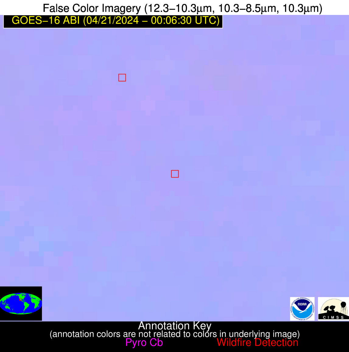
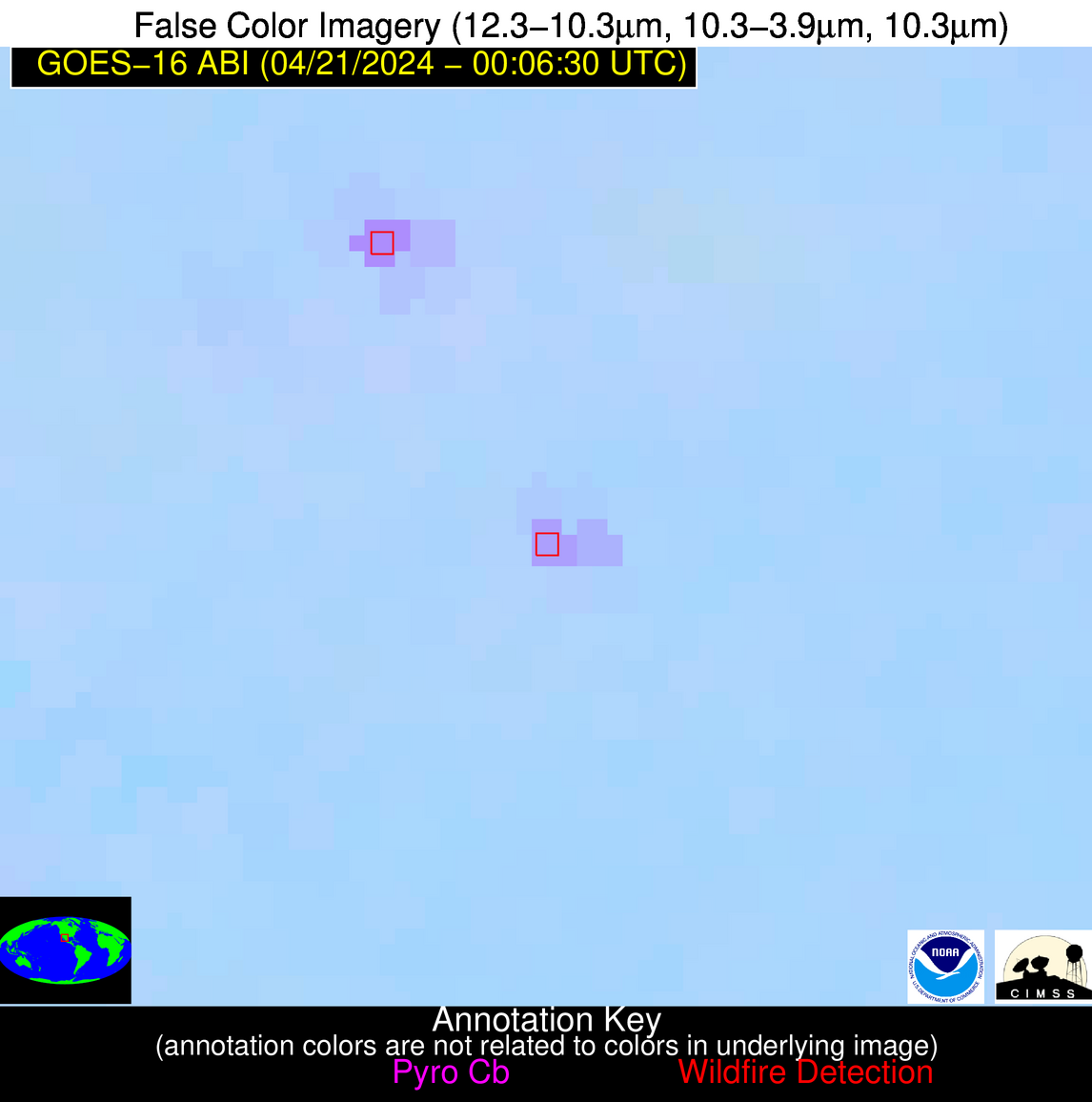
Possible Wildfire
| Basic Information | |
|---|---|
| State/Province(s) | Unknown |
| Country/Countries | Mexico |
| County/Locality(s) | Mexico |
| NWS WFO | N/A |
| Identification Method | Enhanced Contextual (Clear) |
| Mean Object Date/Time | 2024-04-21 00:07:48UTC |
| Radiative Center (Lat, Lon): | 27.620°, -107.460° |
| Nearby Counties (meeting alert criteria): |
|
| Total Radiative Power Anomaly | n/a |
| Total Radiative Power | 34.10 MW |
| Map: | |
| Additional Information | |
| Alert Status | New Feature |
| Type of Event | Nominal Risk |
| Event Priority Ranking | 4 |
| Maximum Observed BT (3.9 um) | 301.73 K |
| Observed - Background BT (3.9 um) | 7.45 K |
| BT Anomaly (3.9 um) | 6.12 K |
| Maximum Observed - Clear RTM BT (3.9 um) | 9.11 K |
| Maximum Observed BTD (3.9-10/11/12 um) | 8.99 K |
| Observed - Background BTD (3.9-10/11/12 um) | 7.44 K |
| BTD Anomaly (3.9-10/11/12 um) | 9.25 K |
| Similar Pixel Count | 2 |
| BT Time Tendency (3.9 um) | 5.90 K |
| Image Interval | 5.00 minutes |
| Fraction of Surrounding LWIR Pixels that are Colder | 0.50 |
| Fraction of Surrounding Red Channel Pixels that are Brighter | 1.00 |
| Maximum Radiative Power | 34.10 MW |
| Maximum Radiative Power Uncertainty | 0.00 MW |
| Total Radiative Power Uncertainty | 0.00 MW |
| Mean Viewing Angle | 48.20° |
| Mean Solar Zenith Angle | 70.90° |
| Mean Glint Angle | 35.80° |
| Water Fraction | 0.00 |
| Total Pixel Area | 14.40 km2 |
| Latest Satellite Imagery: | |
| View all event imagery » | |


