Wildfire Alert Report
| Date: | 2024-04-17 |
|---|---|
| Time: | 17:21:17 |
| Production Date and Time: | 2024-04-17 17:25:51 UTC |
| Primary Instrument: | GOES-16 ABI |
| Wmo Spacecraft Id: | 152 |
| Location/orbit: | GEO |
| L1 File: | OR_ABI-L1b-RadC-M6C14_G16_s20241081721170_e20241081723543_c20241081724033.nc |
| L1 File(s) - Temporal | OR_ABI-L1b-RadC-M6C14_G16_s20241081716170_e20241081718543_c20241081719007.nc |
| Number Of Thermal Anomaly Alerts: | 4 |
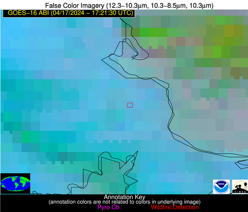
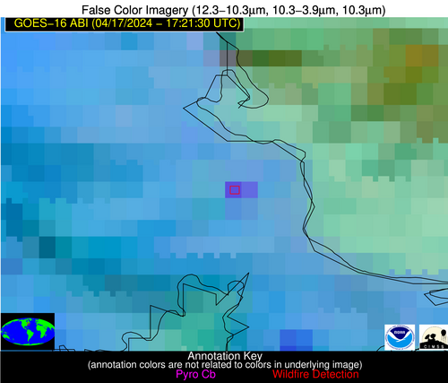
Possible Wildfire
| Basic Information | |
|---|---|
| State/Province(s) | MA |
| Country/Countries | USA |
| County/Locality(s) | Plymouth County, MA |
| NWS WFO | Norton MA |
| Identification Method | Enhanced Contextual (Cloud) |
| Mean Object Date/Time | 2024-04-17 17:21:53UTC |
| Radiative Center (Lat, Lon): | 41.880000°, -70.640000° |
| Nearby Counties (meeting alert criteria): |
|
| Total Radiative Power Anomaly | n/a |
| Total Radiative Power | 43.80 MW |
| Map: | |
| Additional Information | |
| Alert Status | New Feature |
| Type of Event | Nominal Risk |
| Event Priority Ranking | 4 |
| Maximum Observed BT (3.9 um) | 306.16 K |
| Observed - Background BT (3.9 um) | 12.75 K |
| BT Anomaly (3.9 um) | 11.27 K |
| Maximum Observed - Clear RTM BT (3.9 um) | 15.80 K |
| Maximum Observed BTD (3.9-10/11/12 um) | 22.07 K |
| Observed - Background BTD (3.9-10/11/12 um) | 12.11 K |
| BTD Anomaly (3.9-10/11/12 um) | 11.86 K |
| Similar Pixel Count | 0 |
| BT Time Tendency (3.9 um) | 13.30 K |
| Image Interval | 5.00 minutes |
| Fraction of Surrounding LWIR Pixels that are Colder | 0.88 |
| Fraction of Surrounding Red Channel Pixels that are Brighter | 0.94 |
| Maximum Radiative Power | 43.80 MW |
| Maximum Radiative Power Uncertainty | 0.00 MW |
| Total Radiative Power Uncertainty | 0.00 MW |
| Mean Viewing Angle | 48.80° |
| Mean Solar Zenith Angle | 32.50° |
| Mean Glint Angle | 80.90° |
| Water Fraction | 0.00 |
| Total Pixel Area | 6.70 km2 |
| Latest Satellite Imagery: | |
| View all event imagery » | |
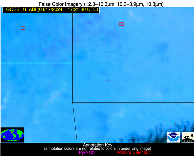
Possible Wildfire
| Basic Information | |
|---|---|
| State/Province(s) | KS |
| Country/Countries | USA |
| County/Locality(s) | Neosho County, KS |
| NWS WFO | Wichita KS |
| Identification Method | Enhanced Contextual (Clear) |
| Mean Object Date/Time | 2024-04-17 17:21:50UTC |
| Radiative Center (Lat, Lon): | 37.440000°, -95.350000° |
| Nearby Counties (meeting alert criteria): |
|
| Total Radiative Power Anomaly | n/a |
| Total Radiative Power | 16.48 MW |
| Map: | |
| Additional Information | |
| Alert Status | New Feature |
| Type of Event | Nominal Risk |
| Event Priority Ranking | 4 |
| Maximum Observed BT (3.9 um) | 310.72 K |
| Observed - Background BT (3.9 um) | 1.99 K |
| BT Anomaly (3.9 um) | 1.40 K |
| Maximum Observed - Clear RTM BT (3.9 um) | 13.66 K |
| Maximum Observed BTD (3.9-10/11/12 um) | 14.67 K |
| Observed - Background BTD (3.9-10/11/12 um) | 3.15 K |
| BTD Anomaly (3.9-10/11/12 um) | 4.45 K |
| Similar Pixel Count | 25 |
| BT Time Tendency (3.9 um) | 3.80 K |
| Image Interval | 5.00 minutes |
| Fraction of Surrounding LWIR Pixels that are Colder | 0.05 |
| Fraction of Surrounding Red Channel Pixels that are Brighter | 1.00 |
| Maximum Radiative Power | 16.48 MW |
| Maximum Radiative Power Uncertainty | 0.00 MW |
| Total Radiative Power Uncertainty | 0.00 MW |
| Mean Viewing Angle | 48.50° |
| Mean Solar Zenith Angle | 30.10° |
| Mean Glint Angle | 78.60° |
| Water Fraction | 0.00 |
| Total Pixel Area | 7.00 km2 |
| Latest Satellite Imagery: | |
| View all event imagery » | |
Possible Wildfire
| Basic Information | |
|---|---|
| State/Province(s) | AR |
| Country/Countries | USA |
| County/Locality(s) | Boone County, AR |
| NWS WFO | Little Rock AR |
| Identification Method | Enhanced Contextual (Clear) |
| Mean Object Date/Time | 2024-04-17 17:21:50UTC |
| Radiative Center (Lat, Lon): | 36.230000°, -93.130000° |
| Nearby Counties (meeting alert criteria): |
|
| Total Radiative Power Anomaly | n/a |
| Total Radiative Power | 14.44 MW |
| Map: | |
| Additional Information | |
| Alert Status | New Feature |
| Type of Event | Nominal Risk |
| Event Priority Ranking | 4 |
| Maximum Observed BT (3.9 um) | 307.04 K |
| Observed - Background BT (3.9 um) | 3.97 K |
| BT Anomaly (3.9 um) | 9.99 K |
| Maximum Observed - Clear RTM BT (3.9 um) | 11.35 K |
| Maximum Observed BTD (3.9-10/11/12 um) | 16.71 K |
| Observed - Background BTD (3.9-10/11/12 um) | 8.34 K |
| BTD Anomaly (3.9-10/11/12 um) | 24.40 K |
| Similar Pixel Count | 9 |
| BT Time Tendency (3.9 um) | 0.20 K |
| Image Interval | 5.00 minutes |
| Fraction of Surrounding LWIR Pixels that are Colder | 0.95 |
| Fraction of Surrounding Red Channel Pixels that are Brighter | 1.00 |
| Maximum Radiative Power | 14.44 MW |
| Maximum Radiative Power Uncertainty | 0.00 MW |
| Total Radiative Power Uncertainty | 0.00 MW |
| Mean Viewing Angle | 46.40° |
| Mean Solar Zenith Angle | 28.20° |
| Mean Glint Angle | 74.50° |
| Water Fraction | 0.00 |
| Total Pixel Area | 6.60 km2 |
| Latest Satellite Imagery: | |
| View all event imagery » | |
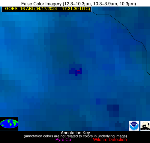
Possible Wildfire
| Basic Information | |
|---|---|
| State/Province(s) | GA |
| Country/Countries | USA |
| County/Locality(s) | Richmond County, GA |
| NWS WFO | Columbia SC |
| Identification Method | Enhanced Contextual (Cloud) |
| Mean Object Date/Time | 2024-04-17 17:22:22UTC |
| Radiative Center (Lat, Lon): | 33.350000°, -82.210000° |
| Nearby Counties (meeting alert criteria): |
|
| Total Radiative Power Anomaly | n/a |
| Total Radiative Power | 52.33 MW |
| Map: | |
| Additional Information | |
| Alert Status | New Feature |
| Type of Event | Nominal Risk |
| Event Priority Ranking | 4 |
| Maximum Observed BT (3.9 um) | 300.84 K |
| Observed - Background BT (3.9 um) | 9.80 K |
| BT Anomaly (3.9 um) | 6.50 K |
| Maximum Observed - Clear RTM BT (3.9 um) | 4.00 K |
| Maximum Observed BTD (3.9-10/11/12 um) | 37.61 K |
| Observed - Background BTD (3.9-10/11/12 um) | 10.26 K |
| BTD Anomaly (3.9-10/11/12 um) | 11.71 K |
| Similar Pixel Count | 0 |
| BT Time Tendency (3.9 um) | 1.70 K |
| Image Interval | 5.00 minutes |
| Fraction of Surrounding LWIR Pixels that are Colder | 0.27 |
| Fraction of Surrounding Red Channel Pixels that are Brighter | 1.00 |
| Maximum Radiative Power | 52.33 MW |
| Maximum Radiative Power Uncertainty | 0.00 MW |
| Total Radiative Power Uncertainty | 0.00 MW |
| Mean Viewing Angle | 39.70° |
| Mean Solar Zenith Angle | 22.90° |
| Mean Glint Angle | 62.40° |
| Water Fraction | 0.00 |
| Total Pixel Area | 5.60 km2 |
| Latest Satellite Imagery: | |
| View all event imagery » | |


