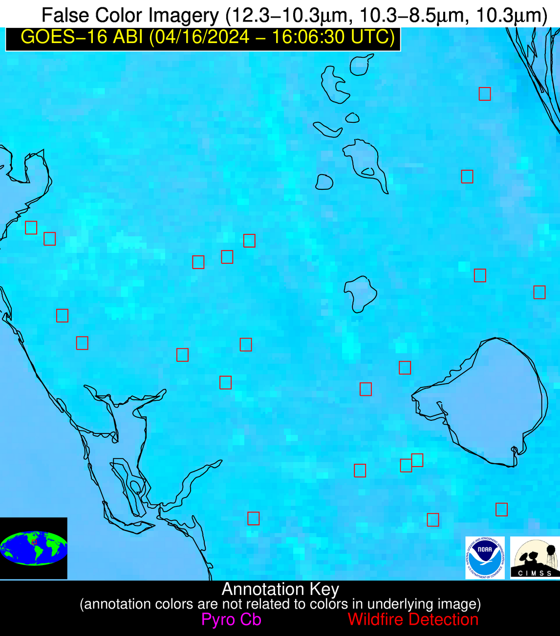
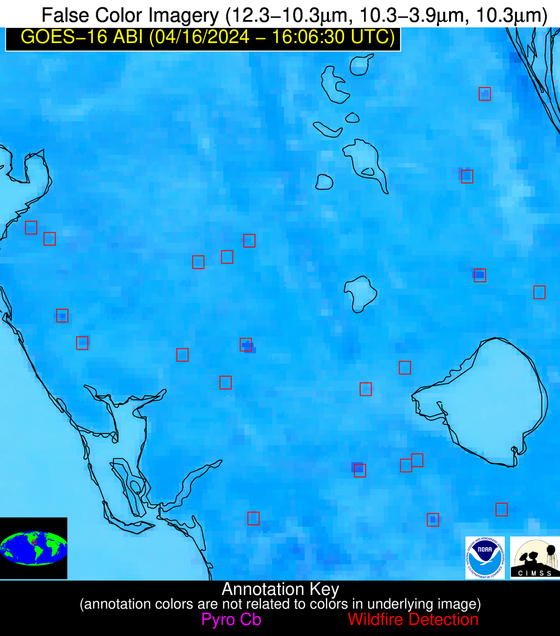
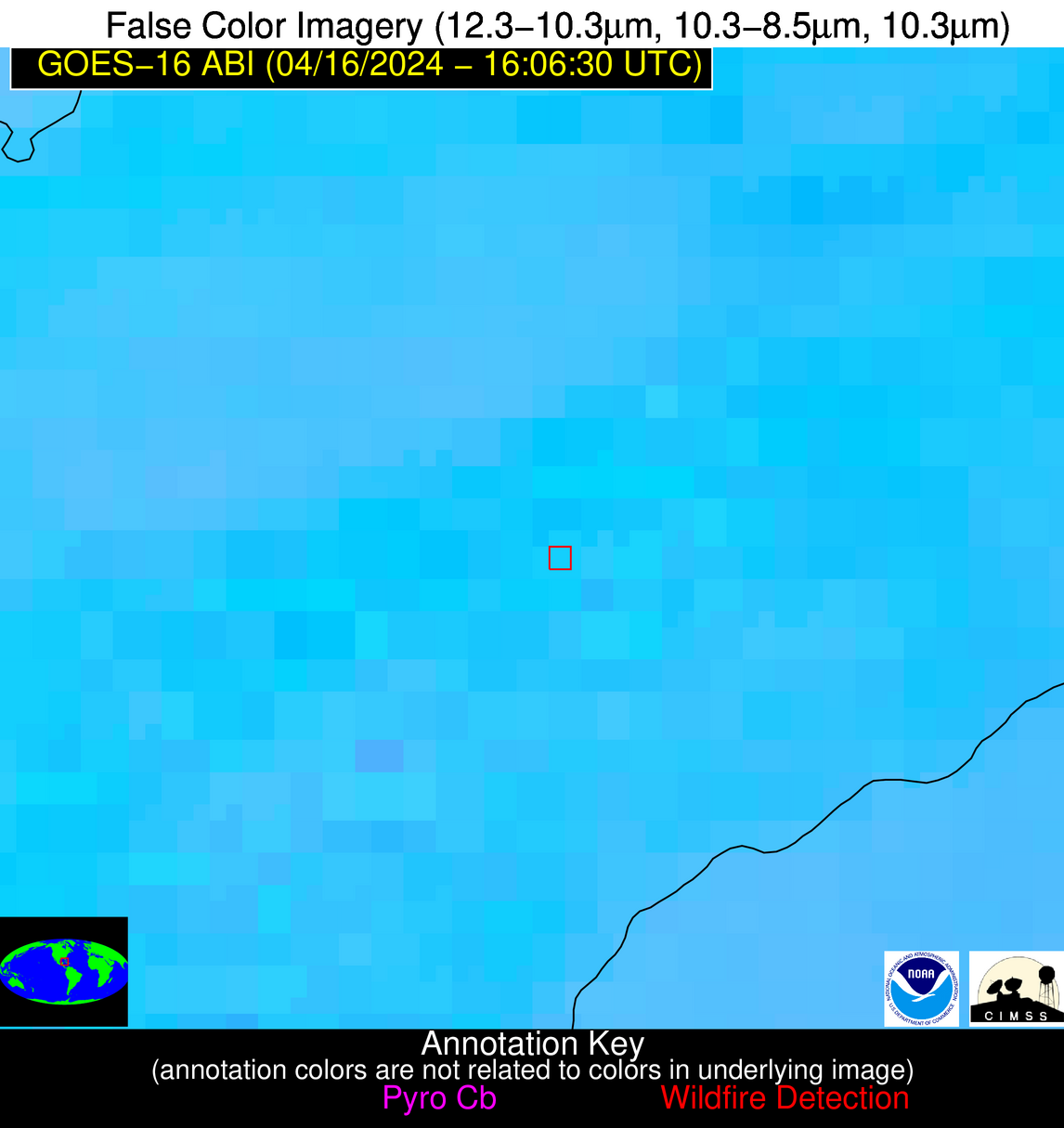
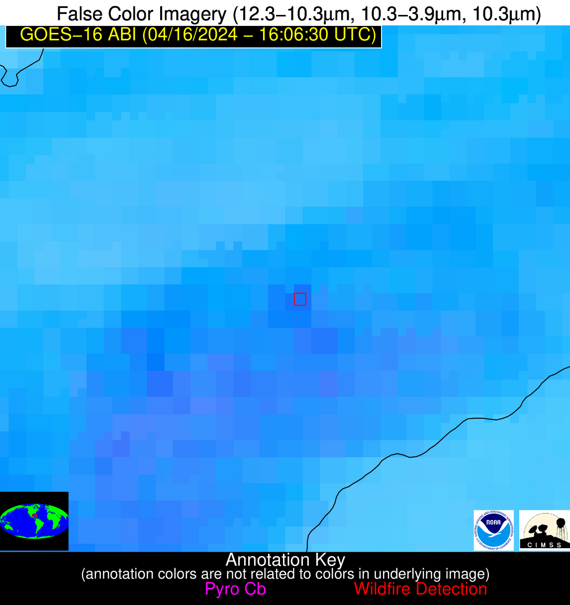
Wildfire Alert Report
| Date: | 2024-04-16 |
|---|---|
| Time: | 16:06:17 |
| Production Date and Time: | 2024-04-16 16:11:01 UTC |
| Primary Instrument: | GOES-16 ABI |
| Wmo Spacecraft Id: | 152 |
| Location/orbit: | GEO |
| L1 File: | OR_ABI-L1b-RadC-M6C14_G16_s20241071606170_e20241071608543_c20241071609038.nc |
| L1 File(s) - Temporal | OR_ABI-L1b-RadC-M6C14_G16_s20241071601170_e20241071603543_c20241071604029.nc |
| Number Of Thermal Anomaly Alerts: | 7 |
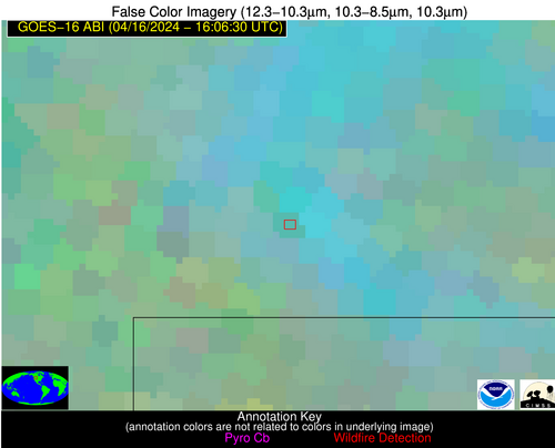
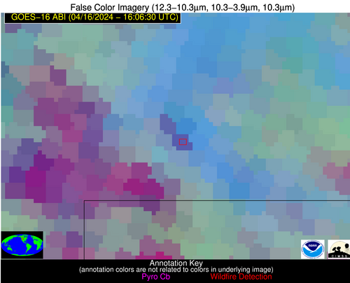
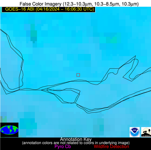
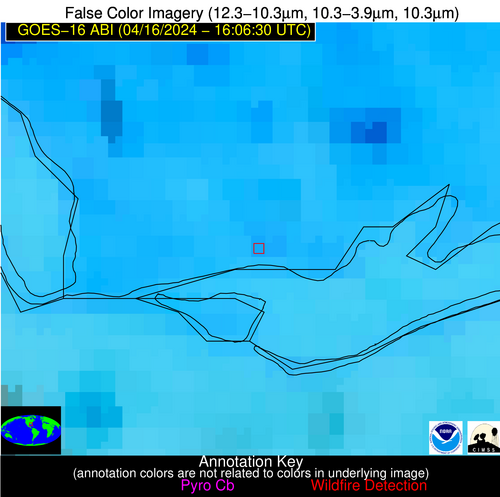
Possible Wildfire
| Basic Information | |
|---|---|
| State/Province(s) | MT |
| Country/Countries | USA |
| County/Locality(s) | Park County, MT |
| NWS WFO | Billings MT |
| Identification Method | Enhanced Contextual (Cloud) |
| Mean Object Date/Time | 2024-04-16 16:06:19UTC |
| Radiative Center (Lat, Lon): | 45.120000°, -110.850000° |
| Nearby Counties (meeting alert criteria): |
|
| Total Radiative Power Anomaly | n/a |
| Total Radiative Power | 31.56 MW |
| Map: | |
| Additional Information | |
| Alert Status | New Feature |
| Type of Event | Nominal Risk |
| Event Priority Ranking | 4 |
| Maximum Observed BT (3.9 um) | 294.73 K |
| Observed - Background BT (3.9 um) | 10.62 K |
| BT Anomaly (3.9 um) | 4.54 K |
| Maximum Observed - Clear RTM BT (3.9 um) | 20.25 K |
| Maximum Observed BTD (3.9-10/11/12 um) | 20.06 K |
| Observed - Background BTD (3.9-10/11/12 um) | 10.50 K |
| BTD Anomaly (3.9-10/11/12 um) | 5.30 K |
| Similar Pixel Count | 0 |
| BT Time Tendency (3.9 um) | 2.60 K |
| Image Interval | 5.00 minutes |
| Fraction of Surrounding LWIR Pixels that are Colder | 0.60 |
| Fraction of Surrounding Red Channel Pixels that are Brighter | 0.52 |
| Maximum Radiative Power | 31.56 MW |
| Maximum Radiative Power Uncertainty | 0.00 MW |
| Total Radiative Power Uncertainty | 0.00 MW |
| Mean Viewing Angle | 63.20° |
| Mean Solar Zenith Angle | 54.60° |
| Mean Glint Angle | 114.80° |
| Water Fraction | 0.00 |
| Total Pixel Area | 12.90 km2 |
| Latest Satellite Imagery: | |
| View all event imagery » | |
Possible Wildfire
| Basic Information | |
|---|---|
| State/Province(s) | FL |
| Country/Countries | USA |
| County/Locality(s) | Franklin County, FL |
| NWS WFO | Tallahassee FL |
| Identification Method | Enhanced Contextual (Clear) |
| Mean Object Date/Time | 2024-04-16 16:07:51UTC |
| Radiative Center (Lat, Lon): | 29.740000°, -85.090000° |
| Nearby Counties (meeting alert criteria): |
|
| Total Radiative Power Anomaly | n/a |
| Total Radiative Power | 4.89 MW |
| Map: | |
| Additional Information | |
| Alert Status | New Feature |
| Type of Event | Nominal Risk |
| Event Priority Ranking | 4 |
| Maximum Observed BT (3.9 um) | 302.51 K |
| Observed - Background BT (3.9 um) | 3.40 K |
| BT Anomaly (3.9 um) | 1.99 K |
| Maximum Observed - Clear RTM BT (3.9 um) | 7.32 K |
| Maximum Observed BTD (3.9-10/11/12 um) | 11.05 K |
| Observed - Background BTD (3.9-10/11/12 um) | 2.69 K |
| BTD Anomaly (3.9-10/11/12 um) | 2.37 K |
| Similar Pixel Count | 19 |
| BT Time Tendency (3.9 um) | 1.40 K |
| Image Interval | 5.00 minutes |
| Fraction of Surrounding LWIR Pixels that are Colder | 0.86 |
| Fraction of Surrounding Red Channel Pixels that are Brighter | 1.00 |
| Maximum Radiative Power | 4.89 MW |
| Maximum Radiative Power Uncertainty | 0.00 MW |
| Total Radiative Power Uncertainty | 0.00 MW |
| Mean Viewing Angle | 36.50° |
| Mean Solar Zenith Angle | 29.30° |
| Mean Glint Angle | 62.70° |
| Water Fraction | 0.00 |
| Total Pixel Area | 5.30 km2 |
| Latest Satellite Imagery: | |
| View all event imagery » | |
Possible Wildfire
| Basic Information | |
|---|---|
| State/Province(s) | FL |
| Country/Countries | USA |
| County/Locality(s) | Brevard County, FL |
| NWS WFO | Melbourne FL |
| Identification Method | Enhanced Contextual (Clear) |
| Mean Object Date/Time | 2024-04-16 16:07:52UTC |
| Radiative Center (Lat, Lon): | 28.170000°, -80.840000° |
| Nearby Counties (meeting alert criteria): |
|
| Total Radiative Power Anomaly | n/a |
| Total Radiative Power | 22.89 MW |
| Map: | |
| Additional Information | |
| Alert Status | New Feature |
| Type of Event | Nominal Risk |
| Event Priority Ranking | 4 |
| Maximum Observed BT (3.9 um) | 311.83 K |
| Observed - Background BT (3.9 um) | 5.97 K |
| BT Anomaly (3.9 um) | 2.82 K |
| Maximum Observed - Clear RTM BT (3.9 um) | 15.25 K |
| Maximum Observed BTD (3.9-10/11/12 um) | 15.03 K |
| Observed - Background BTD (3.9-10/11/12 um) | 6.30 K |
| BTD Anomaly (3.9-10/11/12 um) | 4.64 K |
| Similar Pixel Count | 3 |
| BT Time Tendency (3.9 um) | 4.00 K |
| Image Interval | 5.00 minutes |
| Fraction of Surrounding LWIR Pixels that are Colder | 0.55 |
| Fraction of Surrounding Red Channel Pixels that are Brighter | 1.00 |
| Maximum Radiative Power | 22.89 MW |
| Maximum Radiative Power Uncertainty | 0.00 MW |
| Total Radiative Power Uncertainty | 0.00 MW |
| Mean Viewing Angle | 33.60° |
| Mean Solar Zenith Angle | 25.40° |
| Mean Glint Angle | 55.80° |
| Water Fraction | 0.00 |
| Total Pixel Area | 5.10 km2 |
| Latest Satellite Imagery: | |
| View all event imagery » | |
Possible Wildfire
| Basic Information | |
|---|---|
| State/Province(s) | FL |
| Country/Countries | USA |
| County/Locality(s) | Sarasota County, FL |
| NWS WFO | Tampa Bay Ruskin FL |
| Identification Method | Enhanced Contextual (Clear) |
| Mean Object Date/Time | 2024-04-16 16:07:52UTC |
| Radiative Center (Lat, Lon): | 27.180000°, -82.280000° |
| Nearby Counties (meeting alert criteria): |
|
| Total Radiative Power Anomaly | n/a |
| Total Radiative Power | 33.53 MW |
| Map: | |
| Additional Information | |
| Alert Status | New Feature |
| Type of Event | Nominal Risk |
| Event Priority Ranking | 4 |
| Maximum Observed BT (3.9 um) | 312.59 K |
| Observed - Background BT (3.9 um) | 3.81 K |
| BT Anomaly (3.9 um) | 1.68 K |
| Maximum Observed - Clear RTM BT (3.9 um) | 13.59 K |
| Maximum Observed BTD (3.9-10/11/12 um) | 13.87 K |
| Observed - Background BTD (3.9-10/11/12 um) | 3.75 K |
| BTD Anomaly (3.9-10/11/12 um) | 2.89 K |
| Similar Pixel Count | 6 |
| BT Time Tendency (3.9 um) | 3.20 K |
| Image Interval | 5.00 minutes |
| Fraction of Surrounding LWIR Pixels that are Colder | 0.51 |
| Fraction of Surrounding Red Channel Pixels that are Brighter | 1.00 |
| Maximum Radiative Power | 33.53 MW |
| Maximum Radiative Power Uncertainty | 0.00 MW |
| Total Radiative Power Uncertainty | 0.00 MW |
| Mean Viewing Angle | 32.80° |
| Mean Solar Zenith Angle | 25.80° |
| Mean Glint Angle | 55.30° |
| Water Fraction | 0.00 |
| Total Pixel Area | 10.10 km2 |
| Latest Satellite Imagery: | |
| View all event imagery » | |
Possible Wildfire
| Basic Information | |
|---|---|
| State/Province(s) | FL |
| Country/Countries | USA |
| County/Locality(s) | Hendry County, FL |
| NWS WFO | Miami FL |
| Identification Method | Enhanced Contextual (Clear) |
| Mean Object Date/Time | 2024-04-16 16:07:52UTC |
| Radiative Center (Lat, Lon): | 26.470000°, -81.020000° |
| Nearby Counties (meeting alert criteria): |
|
| Total Radiative Power Anomaly | n/a |
| Total Radiative Power | 37.96 MW |
| Map: | |
| Additional Information | |
| Alert Status | New Feature |
| Type of Event | Nominal Risk |
| Event Priority Ranking | 4 |
| Maximum Observed BT (3.9 um) | 318.10 K |
| Observed - Background BT (3.9 um) | 10.10 K |
| BT Anomaly (3.9 um) | 5.19 K |
| Maximum Observed - Clear RTM BT (3.9 um) | 19.90 K |
| Maximum Observed BTD (3.9-10/11/12 um) | 19.57 K |
| Observed - Background BTD (3.9-10/11/12 um) | 9.73 K |
| BTD Anomaly (3.9-10/11/12 um) | 9.35 K |
| Similar Pixel Count | 2 |
| BT Time Tendency (3.9 um) | 7.70 K |
| Image Interval | 5.00 minutes |
| Fraction of Surrounding LWIR Pixels that are Colder | 0.69 |
| Fraction of Surrounding Red Channel Pixels that are Brighter | 1.00 |
| Maximum Radiative Power | 37.96 MW |
| Maximum Radiative Power Uncertainty | 0.00 MW |
| Total Radiative Power Uncertainty | 0.00 MW |
| Mean Viewing Angle | 31.70° |
| Mean Solar Zenith Angle | 24.50° |
| Mean Glint Angle | 52.80° |
| Water Fraction | 0.00 |
| Total Pixel Area | 5.00 km2 |
| Latest Satellite Imagery: | |
| View all event imagery » | |
Possible Wildfire
| Basic Information | |
|---|---|
| State/Province(s) | Unknown |
| Country/Countries | Cuba |
| County/Locality(s) | Cuba |
| NWS WFO | N/A |
| Identification Method | Enhanced Contextual (Clear) |
| Mean Object Date/Time | 2024-04-16 16:08:21UTC |
| Radiative Center (Lat, Lon): | 22.660000°, -83.110000° |
| Nearby Counties (meeting alert criteria): |
|
| Total Radiative Power Anomaly | n/a |
| Total Radiative Power | 19.36 MW |
| Map: | |
| Additional Information | |
| Alert Status | New Feature |
| Type of Event | Nominal Risk |
| Event Priority Ranking | 4 |
| Maximum Observed BT (3.9 um) | 313.45 K |
| Observed - Background BT (3.9 um) | 7.88 K |
| BT Anomaly (3.9 um) | 3.10 K |
| Maximum Observed - Clear RTM BT (3.9 um) | 12.61 K |
| Maximum Observed BTD (3.9-10/11/12 um) | 18.51 K |
| Observed - Background BTD (3.9-10/11/12 um) | 7.74 K |
| BTD Anomaly (3.9-10/11/12 um) | 2.58 K |
| Similar Pixel Count | 17 |
| BT Time Tendency (3.9 um) | 3.20 K |
| Image Interval | 5.00 minutes |
| Fraction of Surrounding LWIR Pixels that are Colder | 0.58 |
| Fraction of Surrounding Red Channel Pixels that are Brighter | 0.39 |
| Maximum Radiative Power | 19.36 MW |
| Maximum Radiative Power Uncertainty | 0.00 MW |
| Total Radiative Power Uncertainty | 0.00 MW |
| Mean Viewing Angle | 28.10° |
| Mean Solar Zenith Angle | 24.00° |
| Mean Glint Angle | 48.40° |
| Water Fraction | 0.00 |
| Total Pixel Area | 4.70 km2 |
| Latest Satellite Imagery: | |
| View all event imagery » | |
Possible Wildfire
| Basic Information | |
|---|---|
| State/Province(s) | Unknown |
| Country/Countries | Cuba |
| County/Locality(s) | Cuba |
| NWS WFO | N/A |
| Identification Method | Enhanced Contextual (Clear) |
| Mean Object Date/Time | 2024-04-16 16:08:22UTC |
| Radiative Center (Lat, Lon): | 21.240000°, -78.360000° |
| Nearby Counties (meeting alert criteria): |
|
| Total Radiative Power Anomaly | n/a |
| Total Radiative Power | 10.82 MW |
| Map: | |
| Additional Information | |
| Alert Status | New Feature |
| Type of Event | Nominal Risk |
| Event Priority Ranking | 4 |
| Maximum Observed BT (3.9 um) | 318.17 K |
| Observed - Background BT (3.9 um) | 4.30 K |
| BT Anomaly (3.9 um) | 1.70 K |
| Maximum Observed - Clear RTM BT (3.9 um) | 12.07 K |
| Maximum Observed BTD (3.9-10/11/12 um) | 19.58 K |
| Observed - Background BTD (3.9-10/11/12 um) | 4.04 K |
| BTD Anomaly (3.9-10/11/12 um) | 1.80 K |
| Similar Pixel Count | 25 |
| BT Time Tendency (3.9 um) | 3.20 K |
| Image Interval | 5.00 minutes |
| Fraction of Surrounding LWIR Pixels that are Colder | 0.74 |
| Fraction of Surrounding Red Channel Pixels that are Brighter | 0.98 |
| Maximum Radiative Power | 10.82 MW |
| Maximum Radiative Power Uncertainty | 0.00 MW |
| Total Radiative Power Uncertainty | 0.00 MW |
| Mean Viewing Angle | 25.30° |
| Mean Solar Zenith Angle | 19.50° |
| Mean Glint Angle | 40.60° |
| Water Fraction | 0.00 |
| Total Pixel Area | 4.60 km2 |
| Latest Satellite Imagery: | |
| View all event imagery » | |
