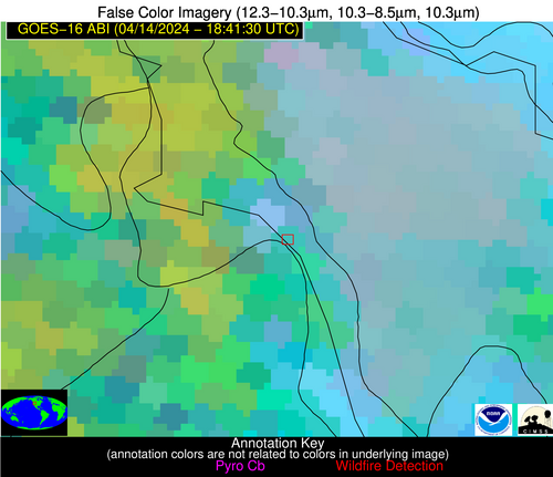
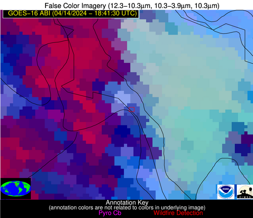
Wildfire Alert Report
| Date: | 2024-04-14 |
|---|---|
| Time: | 18:41:17 |
| Production Date and Time: | 2024-04-14 18:46:05 UTC |
| Primary Instrument: | GOES-16 ABI |
| Wmo Spacecraft Id: | 152 |
| Location/orbit: | GEO |
| L1 File: | OR_ABI-L1b-RadC-M6C14_G16_s20241051841173_e20241051843546_c20241051844034.nc |
| L1 File(s) - Temporal | OR_ABI-L1b-RadC-M6C14_G16_s20241051836173_e20241051838546_c20241051839032.nc |
| Number Of Thermal Anomaly Alerts: | 4 |
Possible Wildfire
| Basic Information | |
|---|---|
| State/Province(s) | ND |
| Country/Countries | USA |
| County/Locality(s) | Cavalier County, ND |
| NWS WFO | Grand Forks ND |
| Identification Method | Enhanced Contextual (Clear) |
| Mean Object Date/Time | 2024-04-14 18:41:20UTC |
| Radiative Center (Lat, Lon): | 48.580000°, -98.650000° |
| Nearby Counties (meeting alert criteria): |
|
| Total Radiative Power Anomaly | n/a |
| Total Radiative Power | 14.01 MW |
| Map: | |
| Additional Information | |
| Alert Status | New Feature |
| Type of Event | Nominal Risk |
| Event Priority Ranking | 4 |
| Maximum Observed BT (3.9 um) | 307.27 K |
| Observed - Background BT (3.9 um) | 1.72 K |
| BT Anomaly (3.9 um) | 1.40 K |
| Maximum Observed - Clear RTM BT (3.9 um) | 16.70 K |
| Maximum Observed BTD (3.9-10/11/12 um) | 14.38 K |
| Observed - Background BTD (3.9-10/11/12 um) | 2.59 K |
| BTD Anomaly (3.9-10/11/12 um) | 6.46 K |
| Similar Pixel Count | 25 |
| BT Time Tendency (3.9 um) | 1.50 K |
| Image Interval | 5.00 minutes |
| Fraction of Surrounding LWIR Pixels that are Colder | 0.14 |
| Fraction of Surrounding Red Channel Pixels that are Brighter | 1.00 |
| Maximum Radiative Power | 14.01 MW |
| Maximum Radiative Power Uncertainty | 0.00 MW |
| Total Radiative Power Uncertainty | 0.00 MW |
| Mean Viewing Angle | 60.50° |
| Mean Solar Zenith Angle | 39.20° |
| Mean Glint Angle | 94.70° |
| Water Fraction | 0.00 |
| Total Pixel Area | 10.40 km2 |
| Latest Satellite Imagery: | |
| View all event imagery » | |
Possible Wildfire
| Basic Information | |
|---|---|
| State/Province(s) | IA |
| Country/Countries | USA |
| County/Locality(s) | Palo Alto County, IA |
| NWS WFO | Des Moines IA |
| Identification Method | Enhanced Contextual (Clear) |
| Mean Object Date/Time | 2024-04-14 18:41:50UTC |
| Radiative Center (Lat, Lon): | 43.030000°, -94.800000° |
| Nearby Counties (meeting alert criteria): |
|
| Total Radiative Power Anomaly | n/a |
| Total Radiative Power | 15.77 MW |
| Map: | |
| Additional Information | |
| Alert Status | New Feature |
| Type of Event | Nominal Risk |
| Event Priority Ranking | 4 |
| Maximum Observed BT (3.9 um) | 316.01 K |
| Observed - Background BT (3.9 um) | 2.83 K |
| BT Anomaly (3.9 um) | 1.86 K |
| Maximum Observed - Clear RTM BT (3.9 um) | 19.42 K |
| Maximum Observed BTD (3.9-10/11/12 um) | 13.22 K |
| Observed - Background BTD (3.9-10/11/12 um) | 2.71 K |
| BTD Anomaly (3.9-10/11/12 um) | 6.01 K |
| Similar Pixel Count | 25 |
| BT Time Tendency (3.9 um) | 2.10 K |
| Image Interval | 5.00 minutes |
| Fraction of Surrounding LWIR Pixels that are Colder | 0.55 |
| Fraction of Surrounding Red Channel Pixels that are Brighter | 1.00 |
| Maximum Radiative Power | 15.77 MW |
| Maximum Radiative Power Uncertainty | 0.00 MW |
| Total Radiative Power Uncertainty | 0.00 MW |
| Mean Viewing Angle | 53.70° |
| Mean Solar Zenith Angle | 34.00° |
| Mean Glint Angle | 82.40° |
| Water Fraction | 0.00 |
| Total Pixel Area | 8.10 km2 |
| Latest Satellite Imagery: | |
| View all event imagery » | |
Possible Wildfire
| Basic Information | |
|---|---|
| State/Province(s) | MO |
| Country/Countries | USA |
| County/Locality(s) | Harrison County, MO |
| NWS WFO | Kansas City/Pleasant Hill MO |
| Identification Method | Enhanced Contextual (Clear) |
| Mean Object Date/Time | 2024-04-14 18:41:50UTC |
| Radiative Center (Lat, Lon): | 40.560000°, -94.150000° |
| Nearby Counties (meeting alert criteria): |
|
| Total Radiative Power Anomaly | n/a |
| Total Radiative Power | 13.30 MW |
| Map: | |
| Additional Information | |
| Alert Status | New Feature |
| Type of Event | Nominal Risk |
| Event Priority Ranking | 4 |
| Maximum Observed BT (3.9 um) | 314.49 K |
| Observed - Background BT (3.9 um) | 3.57 K |
| BT Anomaly (3.9 um) | 3.67 K |
| Maximum Observed - Clear RTM BT (3.9 um) | 15.70 K |
| Maximum Observed BTD (3.9-10/11/12 um) | 14.05 K |
| Observed - Background BTD (3.9-10/11/12 um) | 2.99 K |
| BTD Anomaly (3.9-10/11/12 um) | 5.28 K |
| Similar Pixel Count | 25 |
| BT Time Tendency (3.9 um) | 2.20 K |
| Image Interval | 5.00 minutes |
| Fraction of Surrounding LWIR Pixels that are Colder | 0.85 |
| Fraction of Surrounding Red Channel Pixels that are Brighter | 1.00 |
| Maximum Radiative Power | 13.30 MW |
| Maximum Radiative Power Uncertainty | 0.00 MW |
| Total Radiative Power Uncertainty | 0.00 MW |
| Mean Viewing Angle | 51.00° |
| Mean Solar Zenith Angle | 31.60° |
| Mean Glint Angle | 77.20° |
| Water Fraction | 0.00 |
| Total Pixel Area | 7.50 km2 |
| Latest Satellite Imagery: | |
| View all event imagery » | |
Possible Wildfire
| Basic Information | |
|---|---|
| State/Province(s) | UT |
| Country/Countries | USA |
| County/Locality(s) | Box Elder County, UT |
| NWS WFO | Salt Lake City UT |
| Identification Method | Enhanced Contextual (Cloud) |
| Mean Object Date/Time | 2024-04-14 18:41:49UTC |
| Radiative Center (Lat, Lon): | 41.220000°, -112.850000° |
| Nearby Counties (meeting alert criteria): |
|
| Total Radiative Power Anomaly | n/a |
| Total Radiative Power | 43.33 MW |
| Map: | |
| Additional Information | |
| Alert Status | New Feature |
| Type of Event | Likely an Urban Source |
| Event Priority Ranking | 5 |
| Maximum Observed BT (3.9 um) | 298.71 K |
| Observed - Background BT (3.9 um) | 12.54 K |
| BT Anomaly (3.9 um) | 4.62 K |
| Maximum Observed - Clear RTM BT (3.9 um) | 15.84 K |
| Maximum Observed BTD (3.9-10/11/12 um) | 21.97 K |
| Observed - Background BTD (3.9-10/11/12 um) | 13.84 K |
| BTD Anomaly (3.9-10/11/12 um) | 4.40 K |
| Similar Pixel Count | 0 |
| BT Time Tendency (3.9 um) | 1.30 K |
| Image Interval | 5.00 minutes |
| Fraction of Surrounding LWIR Pixels that are Colder | 0.55 |
| Fraction of Surrounding Red Channel Pixels that are Brighter | 0.44 |
| Maximum Radiative Power | 43.33 MW |
| Maximum Radiative Power Uncertainty | 0.00 MW |
| Total Radiative Power Uncertainty | 0.00 MW |
| Mean Viewing Angle | 61.40° |
| Mean Solar Zenith Angle | 33.70° |
| Mean Glint Angle | 92.10° |
| Water Fraction | 1.00 |
| Total Pixel Area | 12.10 km2 |
| Latest Satellite Imagery: | |
| View all event imagery » | |
