Wildfire Alert Report
| Date: | 2024-04-14 |
|---|---|
| Time: | 00:56:17 |
| Production Date and Time: | 2024-04-14 01:00:58 UTC |
| Primary Instrument: | GOES-16 ABI |
| Wmo Spacecraft Id: | 152 |
| Location/orbit: | GEO |
| L1 File: | OR_ABI-L1b-RadC-M6C14_G16_s20241050056173_e20241050058546_c20241050059036.nc |
| L1 File(s) - Temporal | OR_ABI-L1b-RadC-M6C14_G16_s20241050051173_e20241050053546_c20241050054021.nc |
| Number Of Thermal Anomaly Alerts: | 3 |
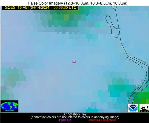
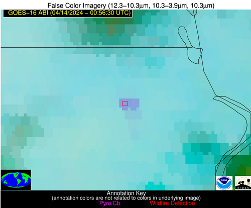
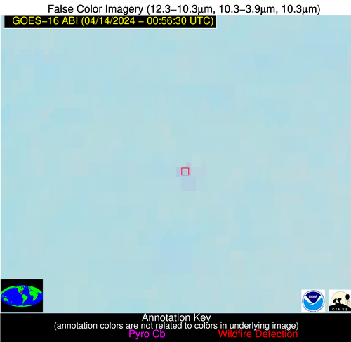
Possible Wildfire
| Basic Information | |
|---|---|
| State/Province(s) | IA |
| Country/Countries | USA |
| County/Locality(s) | Allamakee County, IA |
| NWS WFO | La Crosse WI |
| Identification Method | Enhanced Contextual (Clear) |
| Mean Object Date/Time | 2024-04-14 00:56:21UTC |
| Radiative Center (Lat, Lon): | 43.340000°, -91.440000° |
| Nearby Counties (meeting alert criteria): |
|
| Total Radiative Power Anomaly | n/a |
| Total Radiative Power | 40.52 MW |
| Map: | |
| Additional Information | |
| Alert Status | New Feature |
| Type of Event | Nominal Risk |
| Event Priority Ranking | 4 |
| Maximum Observed BT (3.9 um) | 294.93 K |
| Observed - Background BT (3.9 um) | 8.70 K |
| BT Anomaly (3.9 um) | 11.10 K |
| Maximum Observed - Clear RTM BT (3.9 um) | 9.43 K |
| Maximum Observed BTD (3.9-10/11/12 um) | 10.03 K |
| Observed - Background BTD (3.9-10/11/12 um) | 7.96 K |
| BTD Anomaly (3.9-10/11/12 um) | 11.42 K |
| Similar Pixel Count | 2 |
| BT Time Tendency (3.9 um) | 2.40 K |
| Image Interval | 5.00 minutes |
| Fraction of Surrounding LWIR Pixels that are Colder | 0.90 |
| Fraction of Surrounding Red Channel Pixels that are Brighter | 1.00 |
| Maximum Radiative Power | 22.23 MW |
| Maximum Radiative Power Uncertainty | 0.00 MW |
| Total Radiative Power Uncertainty | 0.00 MW |
| Mean Viewing Angle | 52.90° |
| Mean Solar Zenith Angle | 92.60° |
| Mean Glint Angle | 62.00° |
| Water Fraction | 0.00 |
| Total Pixel Area | 15.50 km2 |
| Latest Satellite Imagery: | |
| View all event imagery » | |
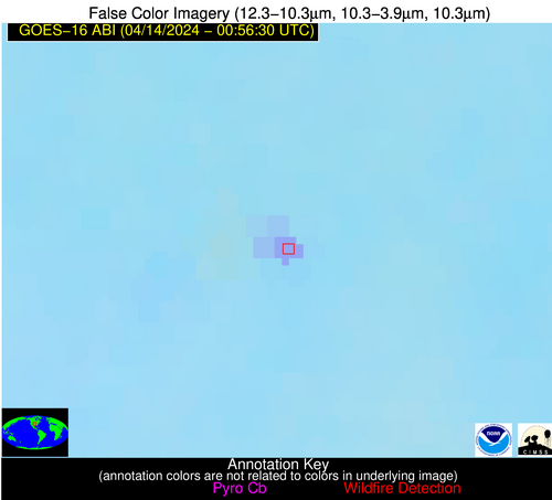
Possible Wildfire
| Basic Information | |
|---|---|
| State/Province(s) | KS |
| Country/Countries | USA |
| County/Locality(s) | Butler County, KS |
| NWS WFO | Wichita KS |
| Identification Method | Enhanced Contextual (Clear) |
| Mean Object Date/Time | 2024-04-14 00:56:50UTC |
| Radiative Center (Lat, Lon): | 37.860000°, -96.720000° |
| Nearby Counties (meeting alert criteria): |
|
| Total Radiative Power Anomaly | n/a |
| Total Radiative Power | 20.99 MW |
| Map: | |
| Additional Information | |
| Alert Status | New Feature |
| Type of Event | Nominal Risk |
| Event Priority Ranking | 4 |
| Maximum Observed BT (3.9 um) | 298.26 K |
| Observed - Background BT (3.9 um) | 7.75 K |
| BT Anomaly (3.9 um) | 14.32 K |
| Maximum Observed - Clear RTM BT (3.9 um) | 7.97 K |
| Maximum Observed BTD (3.9-10/11/12 um) | 8.54 K |
| Observed - Background BTD (3.9-10/11/12 um) | 7.44 K |
| BTD Anomaly (3.9-10/11/12 um) | 36.32 K |
| Similar Pixel Count | 1 |
| BT Time Tendency (3.9 um) | 7.00 K |
| Image Interval | 5.00 minutes |
| Fraction of Surrounding LWIR Pixels that are Colder | 0.74 |
| Fraction of Surrounding Red Channel Pixels that are Brighter | 1.00 |
| Maximum Radiative Power | 20.99 MW |
| Maximum Radiative Power Uncertainty | 0.00 MW |
| Total Radiative Power Uncertainty | 0.00 MW |
| Mean Viewing Angle | 49.60° |
| Mean Solar Zenith Angle | 90.00° |
| Mean Glint Angle | 57.60° |
| Water Fraction | 0.00 |
| Total Pixel Area | 7.20 km2 |
| Latest Satellite Imagery: | |
| View all event imagery » | |
Possible Wildfire
| Basic Information | |
|---|---|
| State/Province(s) | AL |
| Country/Countries | USA |
| County/Locality(s) | Pike County, AL |
| NWS WFO | Birmingham AL |
| Identification Method | Enhanced Contextual (Clear) |
| Mean Object Date/Time | 2024-04-14 00:57:21UTC |
| Radiative Center (Lat, Lon): | 31.940000°, -85.950000° |
| Nearby Counties (meeting alert criteria): |
|
| Total Radiative Power Anomaly | n/a |
| Total Radiative Power | 4.93 MW |
| Map: | |
| Additional Information | |
| Alert Status | New Feature |
| Type of Event | Nominal Risk |
| Event Priority Ranking | 4 |
| Maximum Observed BT (3.9 um) | 289.97 K |
| Observed - Background BT (3.9 um) | 2.74 K |
| BT Anomaly (3.9 um) | 5.58 K |
| Maximum Observed - Clear RTM BT (3.9 um) | 3.28 K |
| Maximum Observed BTD (3.9-10/11/12 um) | 3.30 K |
| Observed - Background BTD (3.9-10/11/12 um) | 2.66 K |
| BTD Anomaly (3.9-10/11/12 um) | 16.27 K |
| Similar Pixel Count | 1 |
| BT Time Tendency (3.9 um) | 0.70 K |
| Image Interval | 5.00 minutes |
| Fraction of Surrounding LWIR Pixels that are Colder | 0.62 |
| Fraction of Surrounding Red Channel Pixels that are Brighter | 1.00 |
| Maximum Radiative Power | 4.93 MW |
| Maximum Radiative Power Uncertainty | 0.00 MW |
| Total Radiative Power Uncertainty | 0.00 MW |
| Mean Viewing Angle | 39.10° |
| Mean Solar Zenith Angle | 100.00° |
| Mean Glint Angle | 75.90° |
| Water Fraction | 0.00 |
| Total Pixel Area | 5.60 km2 |
| Latest Satellite Imagery: | |
| View all event imagery » | |
