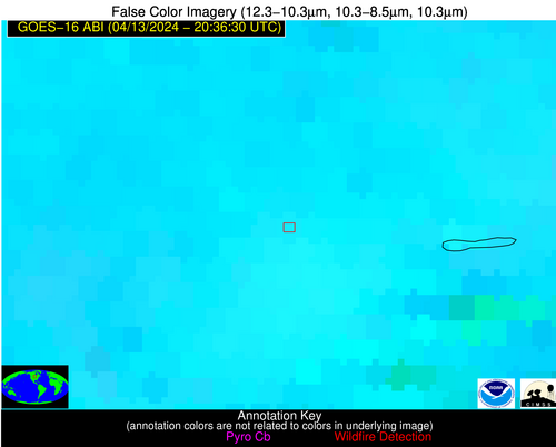
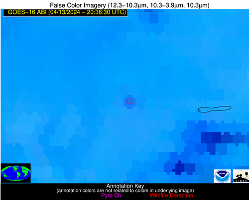
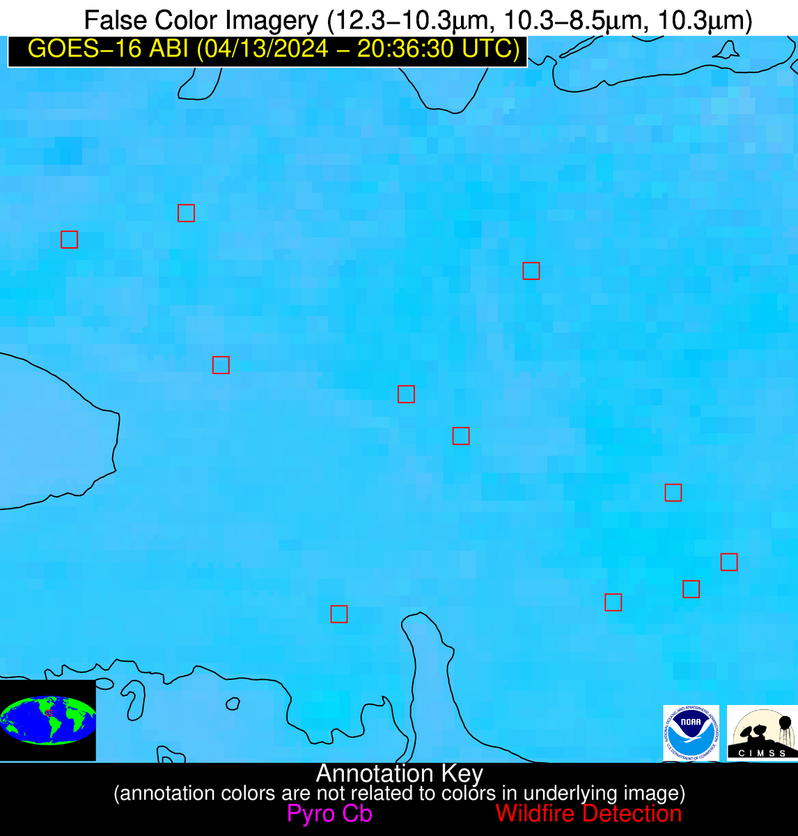
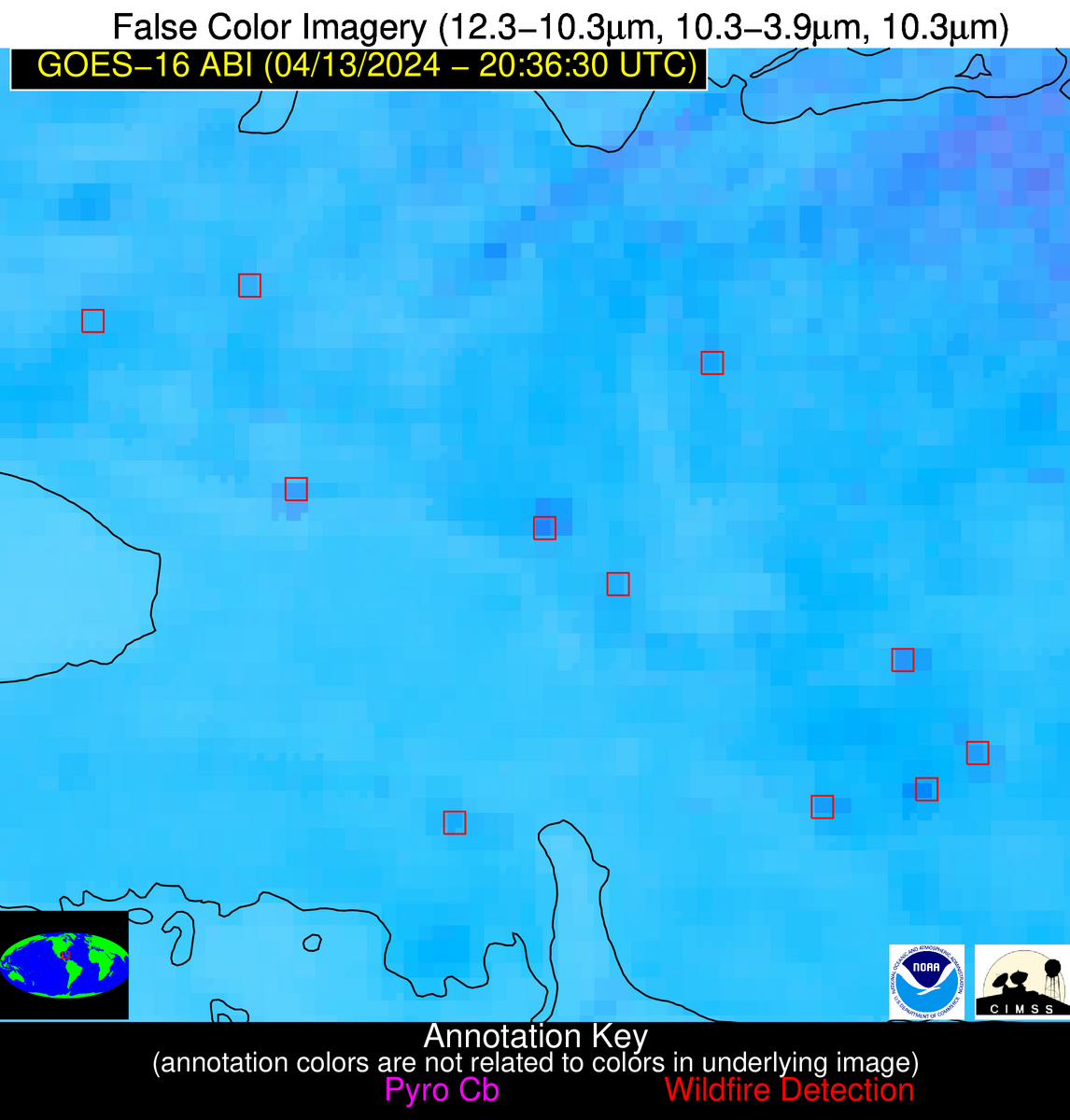
Feb 18 2026: Due to heavy traffic, please consider accessing NGFS detections and satellite imagery through the NOAA/NESDIS Wildland Fire Data Portal: https://fire.data.nesdis.noaa.gov/map/
Wildfire Alert Report
| Date: | 2024-04-13 |
|---|---|
| Time: | 20:36:17 |
| Production Date and Time: | 2024-04-13 20:41:02 UTC |
| Primary Instrument: | GOES-16 ABI |
| Wmo Spacecraft Id: | 152 |
| Location/orbit: | GEO |
| L1 File: | OR_ABI-L1b-RadC-M6C14_G16_s20241042036173_e20241042038546_c20241042039044.nc |
| L1 File(s) - Temporal | OR_ABI-L1b-RadC-M6C14_G16_s20241042031173_e20241042033546_c20241042034034.nc |
| Number Of Thermal Anomaly Alerts: | 5 |
Possible Wildfire
| Basic Information | |
|---|---|
| State/Province(s) | MT |
| Country/Countries | USA |
| County/Locality(s) | Dawson County, MT |
| NWS WFO | Glasgow MT |
| Identification Method | Enhanced Contextual (Clear) |
| Mean Object Date/Time | 2024-04-13 20:36:20UTC |
| Radiative Center (Lat, Lon): | 47.010000°, -104.850000° |
| Nearby Counties (meeting alert criteria): |
|
| Total Radiative Power Anomaly | n/a |
| Total Radiative Power | 13.17 MW |
| Map: | |
| Additional Information | |
| Alert Status | New Feature |
| Type of Event | Nominal Risk |
| Event Priority Ranking | 4 |
| Maximum Observed BT (3.9 um) | 308.64 K |
| Observed - Background BT (3.9 um) | 3.06 K |
| BT Anomaly (3.9 um) | 3.90 K |
| Maximum Observed - Clear RTM BT (3.9 um) | 14.06 K |
| Maximum Observed BTD (3.9-10/11/12 um) | 14.61 K |
| Observed - Background BTD (3.9-10/11/12 um) | 2.48 K |
| BTD Anomaly (3.9-10/11/12 um) | 4.72 K |
| Similar Pixel Count | 25 |
| BT Time Tendency (3.9 um) | 1.70 K |
| Image Interval | 5.00 minutes |
| Fraction of Surrounding LWIR Pixels that are Colder | 0.82 |
| Fraction of Surrounding Red Channel Pixels that are Brighter | 1.00 |
| Maximum Radiative Power | 13.17 MW |
| Maximum Radiative Power Uncertainty | 0.00 MW |
| Total Radiative Power Uncertainty | 0.00 MW |
| Mean Viewing Angle | 61.60° |
| Mean Solar Zenith Angle | 43.20° |
| Mean Glint Angle | 79.50° |
| Water Fraction | 0.00 |
| Total Pixel Area | 11.50 km2 |
| Latest Satellite Imagery: | |
| View all event imagery » | |
Possible Wildfire
| Basic Information | |
|---|---|
| State/Province(s) | WI |
| Country/Countries | USA |
| County/Locality(s) | Washburn County, WI |
| NWS WFO | Duluth MN |
| Identification Method | Enhanced Contextual (Clear) |
| Mean Object Date/Time | 2024-04-13 20:36:21UTC |
| Radiative Center (Lat, Lon): | 46.150000°, -91.910000° |
| Nearby Counties (meeting alert criteria): |
|
| Total Radiative Power Anomaly | n/a |
| Total Radiative Power | 68.45 MW |
| Map: | |
| Additional Information | |
| Alert Status | New Feature |
| Type of Event | Nominal Risk, Known Incident: SMITH BRIDGE (LOW, tdiff=0.01543 days, POINT) |
| Event Priority Ranking | 4 |
| Maximum Observed BT (3.9 um) | 305.47 K |
| Observed - Background BT (3.9 um) | 9.48 K |
| BT Anomaly (3.9 um) | 11.65 K |
| Maximum Observed - Clear RTM BT (3.9 um) | 19.70 K |
| Maximum Observed BTD (3.9-10/11/12 um) | 18.40 K |
| Observed - Background BTD (3.9-10/11/12 um) | 10.28 K |
| BTD Anomaly (3.9-10/11/12 um) | 14.38 K |
| Similar Pixel Count | 2 |
| BT Time Tendency (3.9 um) | 1.70 K |
| Image Interval | 5.00 minutes |
| Fraction of Surrounding LWIR Pixels that are Colder | 0.22 |
| Fraction of Surrounding Red Channel Pixels that are Brighter | 1.00 |
| Maximum Radiative Power | 43.25 MW |
| Maximum Radiative Power Uncertainty | 0.00 MW |
| Total Radiative Power Uncertainty | 0.00 MW |
| Mean Viewing Angle | 55.90° |
| Mean Solar Zenith Angle | 48.80° |
| Mean Glint Angle | 77.90° |
| Water Fraction | 0.00 |
| Total Pixel Area | 17.00 km2 |
| Latest Satellite Imagery: | |
| View all event imagery » | |
Possible Wildfire
| Basic Information | |
|---|---|
| State/Province(s) | MN |
| Country/Countries | USA |
| County/Locality(s) | Stevens County, MN |
| NWS WFO | Twin Cities/Chanhassen MN |
| Identification Method | Enhanced Contextual (Clear) |
| Mean Object Date/Time | 2024-04-13 20:36:20UTC |
| Radiative Center (Lat, Lon): | 45.540000°, -95.890000° |
| Nearby Counties (meeting alert criteria): |
|
| Total Radiative Power Anomaly | n/a |
| Total Radiative Power | 28.77 MW |
| Map: | |
| Additional Information | |
| Alert Status | New Feature |
| Type of Event | Nominal Risk |
| Event Priority Ranking | 4 |
| Maximum Observed BT (3.9 um) | 312.84 K |
| Observed - Background BT (3.9 um) | 5.26 K |
| BT Anomaly (3.9 um) | 4.95 K |
| Maximum Observed - Clear RTM BT (3.9 um) | 19.35 K |
| Maximum Observed BTD (3.9-10/11/12 um) | 17.29 K |
| Observed - Background BTD (3.9-10/11/12 um) | 4.91 K |
| BTD Anomaly (3.9-10/11/12 um) | 6.23 K |
| Similar Pixel Count | 25 |
| BT Time Tendency (3.9 um) | 4.90 K |
| Image Interval | 5.00 minutes |
| Fraction of Surrounding LWIR Pixels that are Colder | 0.81 |
| Fraction of Surrounding Red Channel Pixels that are Brighter | 1.00 |
| Maximum Radiative Power | 28.77 MW |
| Maximum Radiative Power Uncertainty | 0.00 MW |
| Total Radiative Power Uncertainty | 0.00 MW |
| Mean Viewing Angle | 56.60° |
| Mean Solar Zenith Angle | 46.20° |
| Mean Glint Angle | 76.30° |
| Water Fraction | 0.00 |
| Total Pixel Area | 8.90 km2 |
| Latest Satellite Imagery: | |
| View all event imagery » | |
Possible Wildfire
| Basic Information | |
|---|---|
| State/Province(s) | Unknown |
| Country/Countries | Cuba |
| County/Locality(s) | Cuba |
| NWS WFO | N/A |
| Identification Method | Enhanced Contextual (Clear) |
| Mean Object Date/Time | 2024-04-13 20:38:22UTC |
| Radiative Center (Lat, Lon): | 22.870000°, -81.540000° |
| Nearby Counties (meeting alert criteria): |
|
| Total Radiative Power Anomaly | n/a |
| Total Radiative Power | 6.79 MW |
| Map: | |
| Additional Information | |
| Alert Status | New Feature |
| Type of Event | Nominal Risk |
| Event Priority Ranking | 4 |
| Maximum Observed BT (3.9 um) | 306.87 K |
| Observed - Background BT (3.9 um) | 3.08 K |
| BT Anomaly (3.9 um) | 1.90 K |
| Maximum Observed - Clear RTM BT (3.9 um) | 8.09 K |
| Maximum Observed BTD (3.9-10/11/12 um) | 9.59 K |
| Observed - Background BTD (3.9-10/11/12 um) | 2.46 K |
| BTD Anomaly (3.9-10/11/12 um) | 3.29 K |
| Similar Pixel Count | 24 |
| BT Time Tendency (3.9 um) | 1.40 K |
| Image Interval | 5.00 minutes |
| Fraction of Surrounding LWIR Pixels that are Colder | 0.75 |
| Fraction of Surrounding Red Channel Pixels that are Brighter | 1.00 |
| Maximum Radiative Power | 6.79 MW |
| Maximum Radiative Power Uncertainty | 0.00 MW |
| Total Radiative Power Uncertainty | 0.00 MW |
| Mean Viewing Angle | 27.80° |
| Mean Solar Zenith Angle | 47.40° |
| Mean Glint Angle | 50.20° |
| Water Fraction | 0.00 |
| Total Pixel Area | 4.70 km2 |
| Latest Satellite Imagery: | |
| View all event imagery » | |
Possible Wildfire
| Basic Information | |
|---|---|
| State/Province(s) | Unknown |
| Country/Countries | Cuba |
| County/Locality(s) | Cuba |
| NWS WFO | N/A |
| Identification Method | Enhanced Contextual (Clear) |
| Mean Object Date/Time | 2024-04-13 20:38:22UTC |
| Radiative Center (Lat, Lon): | 22.300000°, -80.890000° |
| Nearby Counties (meeting alert criteria): |
|
| Total Radiative Power Anomaly | n/a |
| Total Radiative Power | 22.67 MW |
| Map: | |
| Additional Information | |
| Alert Status | New Feature |
| Type of Event | Nominal Risk |
| Event Priority Ranking | 4 |
| Maximum Observed BT (3.9 um) | 312.23 K |
| Observed - Background BT (3.9 um) | 5.32 K |
| BT Anomaly (3.9 um) | 1.97 K |
| Maximum Observed - Clear RTM BT (3.9 um) | 9.92 K |
| Maximum Observed BTD (3.9-10/11/12 um) | 12.72 K |
| Observed - Background BTD (3.9-10/11/12 um) | 4.62 K |
| BTD Anomaly (3.9-10/11/12 um) | 3.20 K |
| Similar Pixel Count | 11 |
| BT Time Tendency (3.9 um) | 4.20 K |
| Image Interval | 5.00 minutes |
| Fraction of Surrounding LWIR Pixels that are Colder | 0.71 |
| Fraction of Surrounding Red Channel Pixels that are Brighter | 1.00 |
| Maximum Radiative Power | 12.26 MW |
| Maximum Radiative Power Uncertainty | 0.00 MW |
| Total Radiative Power Uncertainty | 0.00 MW |
| Mean Viewing Angle | 27.00° |
| Mean Solar Zenith Angle | 48.00° |
| Mean Glint Angle | 50.50° |
| Water Fraction | 0.00 |
| Total Pixel Area | 9.40 km2 |
| Latest Satellite Imagery: | |
| View all event imagery » | |
