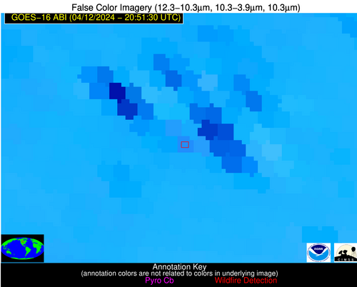
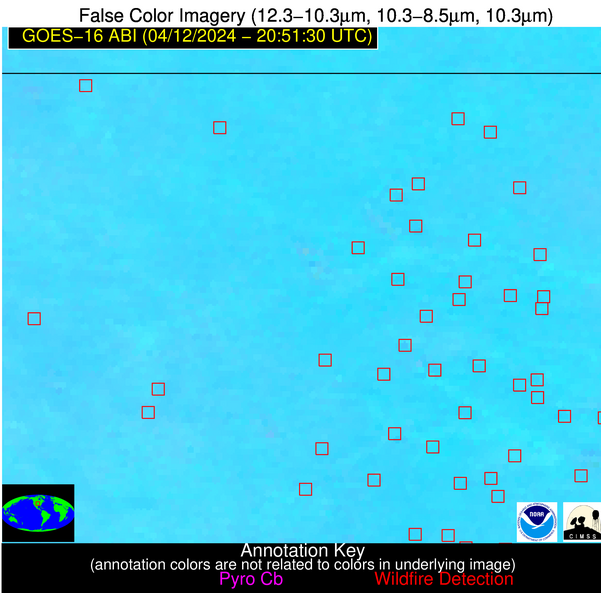
Please consider accessing NGFS detections and satellite imagery through the NOAA/NESDIS Wildland Fire Data Portal: https://fire.data.nesdis.noaa.gov/map/
Wildfire Notification Report
| Date: | 2024-04-12 |
|---|---|
| Time: | 20:51:17 |
| Production Date and Time: | 2024-04-12 20:56:14 UTC |
| Primary Instrument: | GOES-16 ABI |
| Wmo Spacecraft Id: | 152 |
| Location/orbit: | GEO |
| L1 File: | OR_ABI-L1b-RadC-M6C14_G16_s20241032051173_e20241032053546_c20241032054049.nc |
| L1 File(s) - Temporal | OR_ABI-L1b-RadC-M6C14_G16_s20241032046173_e20241032048546_c20241032049041.nc |
| Number Of Thermal Anomaly Notifications: | 5 |
Possible Wildfire
| Basic Information | |
|---|---|
| State/Province(s) | MT |
| Country/Countries | USA |
| County/Locality(s) | Dawson County, MT |
| NWS WFO | Glasgow MT |
| Identification Method | Enhanced Contextual (Clear) |
| Mean Object Date/Time | 2024-04-12 20:51:20UTC |
| Radiative Center (Lat, Lon): | 47.340000°, -104.430000° |
| Nearby Counties (meeting notification criteria): |
|
| Total Radiative Power Anomaly | n/a |
| Total Radiative Power | 29.02 MW |
| Map: | |
| Additional Information | |
| Notification Status | New Feature |
| Type of Event | Nominal Risk |
| Event Priority Ranking | 4 |
| Maximum Observed BT (3.9 um) | 307.67 K |
| Observed - Background BT (3.9 um) | 5.50 K |
| BT Anomaly (3.9 um) | 6.42 K |
| Maximum Observed - Clear RTM BT (3.9 um) | 17.42 K |
| Maximum Observed BTD (3.9-10/11/12 um) | 14.40 K |
| Observed - Background BTD (3.9-10/11/12 um) | 4.77 K |
| BTD Anomaly (3.9-10/11/12 um) | 7.39 K |
| Similar Pixel Count | 22 |
| BT Time Tendency (3.9 um) | 1.60 K |
| Image Interval | 5.00 minutes |
| Fraction of Surrounding LWIR Pixels that are Colder | 0.81 |
| Fraction of Surrounding Red Channel Pixels that are Brighter | 0.99 |
| Maximum Radiative Power | 29.02 MW |
| Maximum Radiative Power Uncertainty | 0.00 MW |
| Total Radiative Power Uncertainty | 0.00 MW |
| Mean Viewing Angle | 61.70° |
| Mean Solar Zenith Angle | 45.50° |
| Mean Glint Angle | 78.20° |
| Water Fraction | 0.00 |
| Total Pixel Area | 11.50 km2 |
| Latest Satellite Imagery: | |
| View all event imagery » | |
Possible Wildfire
| Basic Information | |
|---|---|
| State/Province(s) | KS |
| Country/Countries | USA |
| County/Locality(s) | Republic County, KS |
| NWS WFO | Topeka KS |
| Identification Method | Enhanced Contextual (Clear) |
| Mean Object Date/Time | 2024-04-12 20:51:50UTC |
| Radiative Center (Lat, Lon): | 39.950000°, -97.870000° |
| Nearby Counties (meeting notification criteria): |
|
| Total Radiative Power Anomaly | n/a |
| Total Radiative Power | 18.39 MW |
| Map: | |
| Additional Information | |
| Notification Status | New Feature |
| Type of Event | Nominal Risk |
| Event Priority Ranking | 4 |
| Maximum Observed BT (3.9 um) | 310.09 K |
| Observed - Background BT (3.9 um) | 3.84 K |
| BT Anomaly (3.9 um) | 3.16 K |
| Maximum Observed - Clear RTM BT (3.9 um) | 20.38 K |
| Maximum Observed BTD (3.9-10/11/12 um) | 13.21 K |
| Observed - Background BTD (3.9-10/11/12 um) | 3.91 K |
| BTD Anomaly (3.9-10/11/12 um) | 7.34 K |
| Similar Pixel Count | 24 |
| BT Time Tendency (3.9 um) | 1.90 K |
| Image Interval | 5.00 minutes |
| Fraction of Surrounding LWIR Pixels that are Colder | 0.49 |
| Fraction of Surrounding Red Channel Pixels that are Brighter | 1.00 |
| Maximum Radiative Power | 18.39 MW |
| Maximum Radiative Power Uncertainty | 0.00 MW |
| Total Radiative Power Uncertainty | 0.00 MW |
| Mean Viewing Angle | 52.10° |
| Mean Solar Zenith Angle | 44.00° |
| Mean Glint Angle | 65.40° |
| Water Fraction | 0.00 |
| Total Pixel Area | 7.80 km2 |
| Latest Satellite Imagery: | |
| View all event imagery » | |
Possible Wildfire
| Basic Information | |
|---|---|
| State/Province(s) | CO |
| Country/Countries | USA |
| County/Locality(s) | Weld County, CO |
| NWS WFO | Denver CO |
| Identification Method | Enhanced Contextual (Clear) |
| Mean Object Date/Time | 2024-04-12 20:51:49UTC |
| Radiative Center (Lat, Lon): | 40.260000°, -105.010000° |
| Nearby Counties (meeting notification criteria): |
|
| Total Radiative Power Anomaly | n/a |
| Total Radiative Power | 8.23 MW |
| Map: | |
| Additional Information | |
| Notification Status | New Feature |
| Type of Event | VIIRS 375m static sources 2013_2018 |
| Event Priority Ranking | 5 |
| Maximum Observed BT (3.9 um) | 309.57 K |
| Observed - Background BT (3.9 um) | 1.10 K |
| BT Anomaly (3.9 um) | 0.66 K |
| Maximum Observed - Clear RTM BT (3.9 um) | 14.83 K |
| Maximum Observed BTD (3.9-10/11/12 um) | 9.25 K |
| Observed - Background BTD (3.9-10/11/12 um) | 1.63 K |
| BTD Anomaly (3.9-10/11/12 um) | 4.04 K |
| Similar Pixel Count | 25 |
| BT Time Tendency (3.9 um) | 1.10 K |
| Image Interval | 5.00 minutes |
| Fraction of Surrounding LWIR Pixels that are Colder | 0.40 |
| Fraction of Surrounding Red Channel Pixels that are Brighter | 1.00 |
| Maximum Radiative Power | 8.23 MW |
| Maximum Radiative Power Uncertainty | 0.00 MW |
| Total Radiative Power Uncertainty | 0.00 MW |
| Mean Viewing Angle | 56.00° |
| Mean Solar Zenith Angle | 40.00° |
| Mean Glint Angle | 66.40° |
| Water Fraction | 0.00 |
| Total Pixel Area | 9.20 km2 |
| Latest Satellite Imagery: | |
| View all event imagery » | |
Possible Wildfire
| Basic Information | |
|---|---|
| State/Province(s) | KS |
| Country/Countries | USA |
| County/Locality(s) | Pottawatomie County, KS |
| NWS WFO | Topeka KS |
| Identification Method | Enhanced Contextual (Clear) |
| Mean Object Date/Time | 2024-04-12 20:51:50UTC |
| Radiative Center (Lat, Lon): | 39.490000°, -96.110000° |
| Nearby Counties (meeting notification criteria): |
|
| Total Radiative Power Anomaly | n/a |
| Total Radiative Power | 25.92 MW |
| Map: | |
| Additional Information | |
| Notification Status | New Feature |
| Type of Event | Nominal Risk |
| Event Priority Ranking | 4 |
| Maximum Observed BT (3.9 um) | 306.16 K |
| Observed - Background BT (3.9 um) | 1.92 K |
| BT Anomaly (3.9 um) | 1.36 K |
| Maximum Observed - Clear RTM BT (3.9 um) | 17.72 K |
| Maximum Observed BTD (3.9-10/11/12 um) | 11.20 K |
| Observed - Background BTD (3.9-10/11/12 um) | 3.07 K |
| BTD Anomaly (3.9-10/11/12 um) | 5.38 K |
| Similar Pixel Count | 20 |
| BT Time Tendency (3.9 um) | 0.90 K |
| Image Interval | 5.00 minutes |
| Fraction of Surrounding LWIR Pixels that are Colder | 0.22 |
| Fraction of Surrounding Red Channel Pixels that are Brighter | 1.00 |
| Maximum Radiative Power | 14.87 MW |
| Maximum Radiative Power Uncertainty | 0.00 MW |
| Total Radiative Power Uncertainty | 0.00 MW |
| Mean Viewing Angle | 50.80° |
| Mean Solar Zenith Angle | 44.90° |
| Mean Glint Angle | 64.90° |
| Water Fraction | 0.00 |
| Total Pixel Area | 15.00 km2 |
| Latest Satellite Imagery: | |
| View all event imagery » | |
Possible Wildfire
| Basic Information | |
|---|---|
| State/Province(s) | KS |
| Country/Countries | USA |
| County/Locality(s) | Marion County, KS |
| NWS WFO | Wichita KS |
| Identification Method | Enhanced Contextual (Clear) |
| Mean Object Date/Time | 2024-04-12 20:51:50UTC |
| Radiative Center (Lat, Lon): | 38.140000°, -96.980000° |
| Nearby Counties (meeting notification criteria): |
|
| Total Radiative Power Anomaly | n/a |
| Total Radiative Power | 7.30 MW |
| Map: | |
| Additional Information | |
| Notification Status | New Feature |
| Type of Event | Nominal Risk |
| Event Priority Ranking | 4 |
| Maximum Observed BT (3.9 um) | 307.07 K |
| Observed - Background BT (3.9 um) | 1.79 K |
| BT Anomaly (3.9 um) | 2.21 K |
| Maximum Observed - Clear RTM BT (3.9 um) | 16.53 K |
| Maximum Observed BTD (3.9-10/11/12 um) | 10.07 K |
| Observed - Background BTD (3.9-10/11/12 um) | 1.70 K |
| BTD Anomaly (3.9-10/11/12 um) | 3.58 K |
| Similar Pixel Count | 25 |
| BT Time Tendency (3.9 um) | 0.90 K |
| Image Interval | 5.00 minutes |
| Fraction of Surrounding LWIR Pixels that are Colder | 0.61 |
| Fraction of Surrounding Red Channel Pixels that are Brighter | 1.00 |
| Maximum Radiative Power | 7.30 MW |
| Maximum Radiative Power Uncertainty | 0.00 MW |
| Total Radiative Power Uncertainty | 0.00 MW |
| Mean Viewing Angle | 49.90° |
| Mean Solar Zenith Angle | 43.60° |
| Mean Glint Angle | 62.40° |
| Water Fraction | 0.00 |
| Total Pixel Area | 7.30 km2 |
| Latest Satellite Imagery: | |
| View all event imagery » | |


