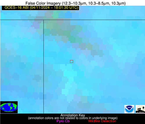
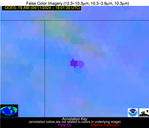
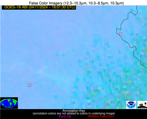
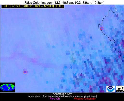
Wildfire Alert Report
| Date: | 2024-04-11 |
|---|---|
| Time: | 18:01:17 |
| Production Date and Time: | 2024-04-11 18:06:08 UTC |
| Primary Instrument: | GOES-16 ABI |
| Wmo Spacecraft Id: | 152 |
| Location/orbit: | GEO |
| L1 File: | OR_ABI-L1b-RadC-M6C14_G16_s20241021801173_e20241021803546_c20241021804050.nc |
| L1 File(s) - Temporal | OR_ABI-L1b-RadC-M6C14_G16_s20241021756173_e20241021758546_c20241021759022.nc |
| Number Of Thermal Anomaly Alerts: | 4 |
Possible Wildfire
| Basic Information | |
|---|---|
| State/Province(s) | CO |
| Country/Countries | USA |
| County/Locality(s) | Moffat County, CO |
| NWS WFO | Grand Junction CO |
| Identification Method | Enhanced Contextual (Cloud) |
| Mean Object Date/Time | 2024-04-11 18:01:49UTC |
| Radiative Center (Lat, Lon): | 40.800000°, -108.910000° |
| Nearby Counties (meeting alert criteria): |
|
| Total Radiative Power Anomaly | n/a |
| Total Radiative Power | 180.13 MW |
| Map: | |
| Additional Information | |
| Alert Status | New Feature |
| Type of Event | Nominal Risk, Known Incident: BROWNS PARK COMPREHENSIVE RX (HIGH, tdiff=1.04625 days, POINT) |
| Event Priority Ranking | 4 |
| Maximum Observed BT (3.9 um) | 326.39 K |
| Observed - Background BT (3.9 um) | 16.64 K |
| BT Anomaly (3.9 um) | 14.44 K |
| Maximum Observed - Clear RTM BT (3.9 um) | 32.75 K |
| Maximum Observed BTD (3.9-10/11/12 um) | 27.91 K |
| Observed - Background BTD (3.9-10/11/12 um) | 15.59 K |
| BTD Anomaly (3.9-10/11/12 um) | 33.29 K |
| Similar Pixel Count | 0 |
| BT Time Tendency (3.9 um) | 11.90 K |
| Image Interval | 5.00 minutes |
| Fraction of Surrounding LWIR Pixels that are Colder | 0.96 |
| Fraction of Surrounding Red Channel Pixels that are Brighter | 0.69 |
| Maximum Radiative Power | 116.79 MW |
| Maximum Radiative Power Uncertainty | 0.00 MW |
| Total Radiative Power Uncertainty | 0.00 MW |
| Mean Viewing Angle | 58.70° |
| Mean Solar Zenith Angle | 36.50° |
| Mean Glint Angle | 94.50° |
| Water Fraction | 0.00 |
| Total Pixel Area | 20.90 km2 |
| Latest Satellite Imagery: | |
| View all event imagery » | |
Possible Wildfire
| Basic Information | |
|---|---|
| State/Province(s) | MO |
| Country/Countries | USA |
| County/Locality(s) | Platte County, MO |
| NWS WFO | Kansas City/Pleasant Hill MO |
| Identification Method | Enhanced Contextual (Clear) |
| Mean Object Date/Time | 2024-04-11 18:01:50UTC |
| Radiative Center (Lat, Lon): | 39.530000°, -95.050000° |
| Nearby Counties (meeting alert criteria): |
|
| Total Radiative Power Anomaly | n/a |
| Total Radiative Power | 40.75 MW |
| Map: | |
| Additional Information | |
| Alert Status | New Feature |
| Type of Event | Elevated SPC Risk |
| Event Priority Ranking | 3 |
| Maximum Observed BT (3.9 um) | 310.84 K |
| Observed - Background BT (3.9 um) | 7.73 K |
| BT Anomaly (3.9 um) | 6.12 K |
| Maximum Observed - Clear RTM BT (3.9 um) | 23.83 K |
| Maximum Observed BTD (3.9-10/11/12 um) | 16.62 K |
| Observed - Background BTD (3.9-10/11/12 um) | 5.98 K |
| BTD Anomaly (3.9-10/11/12 um) | 6.21 K |
| Similar Pixel Count | 12 |
| BT Time Tendency (3.9 um) | 4.30 K |
| Image Interval | 5.00 minutes |
| Fraction of Surrounding LWIR Pixels that are Colder | 1.00 |
| Fraction of Surrounding Red Channel Pixels that are Brighter | 0.75 |
| Maximum Radiative Power | 23.11 MW |
| Maximum Radiative Power Uncertainty | 0.00 MW |
| Total Radiative Power Uncertainty | 0.00 MW |
| Mean Viewing Angle | 50.40° |
| Mean Solar Zenith Angle | 31.50° |
| Mean Glint Angle | 80.50° |
| Water Fraction | 0.00 |
| Total Pixel Area | 14.70 km2 |
| Latest Satellite Imagery: | |
| View all event imagery » | |
Possible Wildfire
| Basic Information | |
|---|---|
| State/Province(s) | KS |
| Country/Countries | USA |
| County/Locality(s) | Wabaunsee County, KS |
| NWS WFO | Topeka KS |
| Identification Method | Enhanced Contextual (Cloud) |
| Mean Object Date/Time | 2024-04-11 18:01:50UTC |
| Radiative Center (Lat, Lon): | 39.000000°, -96.120000° |
| Nearby Counties (meeting alert criteria): |
|
| Total Radiative Power Anomaly | n/a |
| Total Radiative Power | 62.68 MW |
| Map: | |
| Additional Information | |
| Alert Status | New Feature |
| Type of Event | Elevated SPC Risk |
| Event Priority Ranking | 3 |
| Maximum Observed BT (3.9 um) | 317.56 K |
| Observed - Background BT (3.9 um) | 13.84 K |
| BT Anomaly (3.9 um) | 11.59 K |
| Maximum Observed - Clear RTM BT (3.9 um) | 29.77 K |
| Maximum Observed BTD (3.9-10/11/12 um) | 22.78 K |
| Observed - Background BTD (3.9-10/11/12 um) | 12.85 K |
| BTD Anomaly (3.9-10/11/12 um) | 13.15 K |
| Similar Pixel Count | 0 |
| BT Time Tendency (3.9 um) | 12.80 K |
| Image Interval | 5.00 minutes |
| Fraction of Surrounding LWIR Pixels that are Colder | 0.93 |
| Fraction of Surrounding Red Channel Pixels that are Brighter | 1.00 |
| Maximum Radiative Power | 62.68 MW |
| Maximum Radiative Power Uncertainty | 0.00 MW |
| Total Radiative Power Uncertainty | 0.00 MW |
| Mean Viewing Angle | 50.40° |
| Mean Solar Zenith Angle | 31.20° |
| Mean Glint Angle | 80.20° |
| Water Fraction | 0.00 |
| Total Pixel Area | 7.40 km2 |
| Latest Satellite Imagery: | |
| View all event imagery » | |
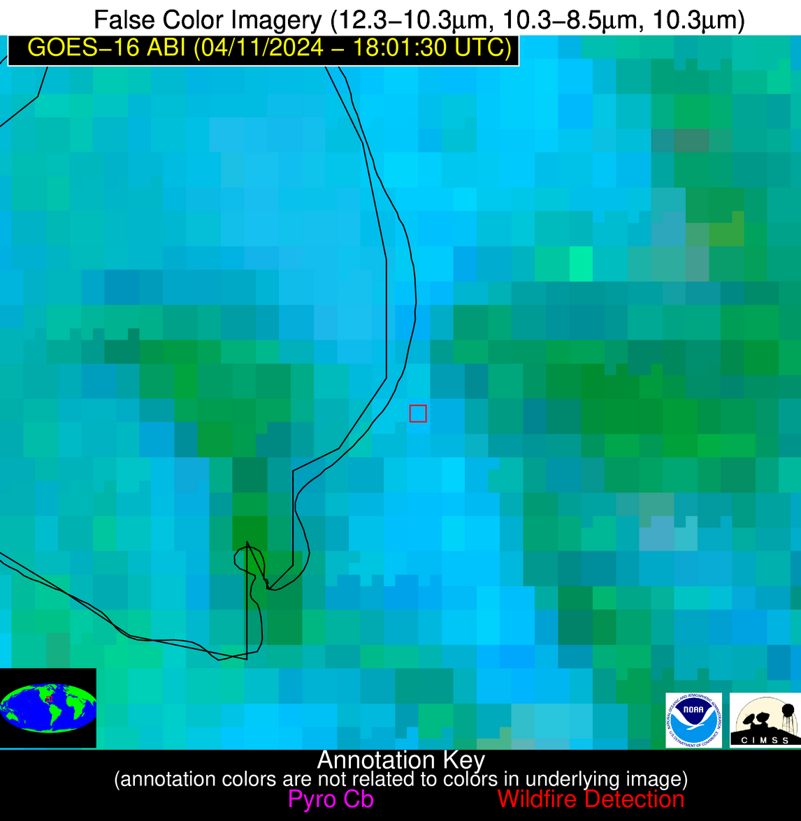
Possible Wildfire
| Basic Information | |
|---|---|
| State/Province(s) | FL |
| Country/Countries | USA |
| County/Locality(s) | Palm Beach County, FL |
| NWS WFO | Miami FL |
| Identification Method | Enhanced Contextual (Cloud) |
| Mean Object Date/Time | 2024-04-11 18:02:52UTC |
| Radiative Center (Lat, Lon): | 26.860000°, -80.610000° |
| Nearby Counties (meeting alert criteria): |
|
| Total Radiative Power Anomaly | n/a |
| Total Radiative Power | 100.27 MW |
| Map: | |
| Additional Information | |
| Alert Status | New Feature |
| Type of Event | Nominal Risk |
| Event Priority Ranking | 4 |
| Maximum Observed BT (3.9 um) | 325.16 K |
| Observed - Background BT (3.9 um) | 18.31 K |
| BT Anomaly (3.9 um) | 6.71 K |
| Maximum Observed - Clear RTM BT (3.9 um) | 21.17 K |
| Maximum Observed BTD (3.9-10/11/12 um) | 39.69 K |
| Observed - Background BTD (3.9-10/11/12 um) | 18.07 K |
| BTD Anomaly (3.9-10/11/12 um) | 6.23 K |
| Similar Pixel Count | 0 |
| BT Time Tendency (3.9 um) | 23.40 K |
| Image Interval | 5.00 minutes |
| Fraction of Surrounding LWIR Pixels that are Colder | 0.86 |
| Fraction of Surrounding Red Channel Pixels that are Brighter | 0.74 |
| Maximum Radiative Power | 100.27 MW |
| Maximum Radiative Power Uncertainty | 0.00 MW |
| Total Radiative Power Uncertainty | 0.00 MW |
| Mean Viewing Angle | 32.10° |
| Mean Solar Zenith Angle | 20.60° |
| Mean Glint Angle | 49.50° |
| Water Fraction | 0.00 |
| Total Pixel Area | 5.00 km2 |
| Latest Satellite Imagery: | |
| View all event imagery » | |
