Wildfire Alert Report
| Date: | 2024-04-11 |
|---|---|
| Time: | 17:36:17 |
| Production Date and Time: | 2024-04-11 17:41:01 UTC |
| Primary Instrument: | GOES-16 ABI |
| Wmo Spacecraft Id: | 152 |
| Location/orbit: | GEO |
| L1 File: | OR_ABI-L1b-RadC-M6C14_G16_s20241021736173_e20241021738546_c20241021739033.nc |
| L1 File(s) - Temporal | OR_ABI-L1b-RadC-M6C14_G16_s20241021731173_e20241021733546_c20241021734026.nc |
| Number Of Thermal Anomaly Alerts: | 4 |
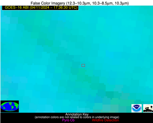
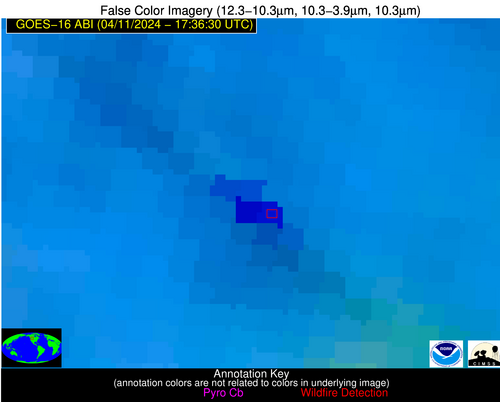
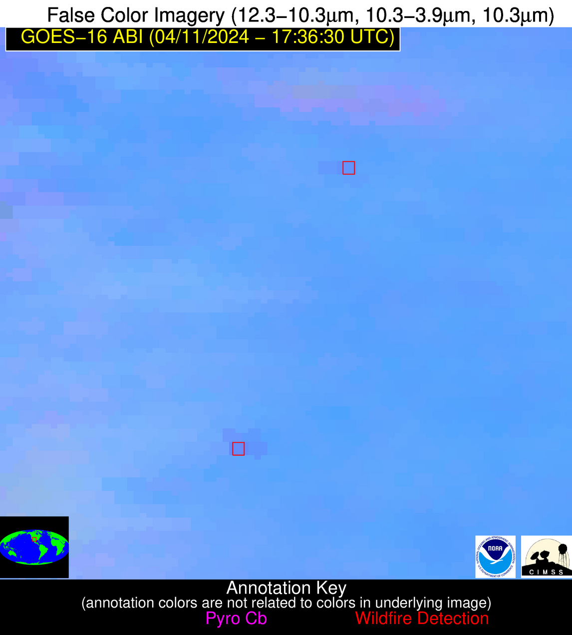
Possible Wildfire
| Basic Information | |
|---|---|
| State/Province(s) | MT |
| Country/Countries | USA |
| County/Locality(s) | Chouteau County, MT |
| NWS WFO | Great Falls MT |
| Identification Method | Enhanced Contextual (Cloud) |
| Mean Object Date/Time | 2024-04-11 17:36:19UTC |
| Radiative Center (Lat, Lon): | 47.670°, -110.810° |
| Nearby Counties (meeting alert criteria): |
|
| Total Radiative Power Anomaly | n/a |
| Total Radiative Power | 234.84 MW |
| Map: | |
| Additional Information | |
| Alert Status | New Feature |
| Type of Event | Nominal Risk |
| Event Priority Ranking | 4 |
| Maximum Observed BT (3.9 um) | 312.00 K |
| Observed - Background BT (3.9 um) | 15.34 K |
| BT Anomaly (3.9 um) | 9.22 K |
| Maximum Observed - Clear RTM BT (3.9 um) | 24.78 K |
| Maximum Observed BTD (3.9-10/11/12 um) | 35.41 K |
| Observed - Background BTD (3.9-10/11/12 um) | 15.88 K |
| BTD Anomaly (3.9-10/11/12 um) | 8.92 K |
| Similar Pixel Count | 0 |
| BT Time Tendency (3.9 um) | 9.70 K |
| Image Interval | 5.00 minutes |
| Fraction of Surrounding LWIR Pixels that are Colder | 0.25 |
| Fraction of Surrounding Red Channel Pixels that are Brighter | 1.00 |
| Maximum Radiative Power | 131.39 MW |
| Maximum Radiative Power Uncertainty | 0.00 MW |
| Total Radiative Power Uncertainty | 0.00 MW |
| Mean Viewing Angle | 65.10° |
| Mean Solar Zenith Angle | 45.50° |
| Mean Glint Angle | 110.50° |
| Water Fraction | 0.00 |
| Total Pixel Area | 42.80 km2 |
| Latest Satellite Imagery: | |
| View all event imagery » | |
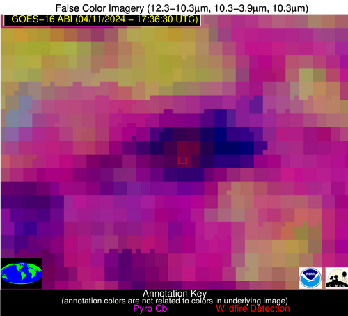
Possible Wildfire
| Basic Information | |
|---|---|
| State/Province(s) | VA |
| Country/Countries | USA |
| County/Locality(s) | Nelson County, VA |
| NWS WFO | Baltimore MD/Washington DC |
| Identification Method | Enhanced Contextual (Cloud) |
| Mean Object Date/Time | 2024-04-11 17:36:52UTC |
| Radiative Center (Lat, Lon): | 37.760°, -78.910° |
| Nearby Counties (meeting alert criteria): |
|
| Total Radiative Power Anomaly | n/a |
| Total Radiative Power | 722.70 MW |
| Map: | |
| Additional Information | |
| Alert Status | New Feature |
| Type of Event | Nominal Risk |
| Event Priority Ranking | 4 |
| Maximum Observed BT (3.9 um) | 304.32 K |
| Observed - Background BT (3.9 um) | 40.90 K |
| BT Anomaly (3.9 um) | 37.44 K |
| Maximum Observed - Clear RTM BT (3.9 um) | 17.63 K |
| Maximum Observed BTD (3.9-10/11/12 um) | 49.89 K |
| Observed - Background BTD (3.9-10/11/12 um) | 41.20 K |
| BTD Anomaly (3.9-10/11/12 um) | 100.62 K |
| Similar Pixel Count | 0 |
| BT Time Tendency (3.9 um) | 2.30 K |
| Image Interval | 5.00 minutes |
| Fraction of Surrounding LWIR Pixels that are Colder | 0.01 |
| Fraction of Surrounding Red Channel Pixels that are Brighter | 0.99 |
| Maximum Radiative Power | 722.70 MW |
| Maximum Radiative Power Uncertainty | 0.00 MW |
| Total Radiative Power Uncertainty | 0.00 MW |
| Mean Viewing Angle | 44.10° |
| Mean Solar Zenith Angle | 29.80° |
| Mean Glint Angle | 73.10° |
| Water Fraction | 0.00 |
| Total Pixel Area | 6.10 km2 |
| Latest Satellite Imagery: | |
| View all event imagery » | |
Possible Wildfire
| Basic Information | |
|---|---|
| State/Province(s) | NM |
| Country/Countries | USA |
| County/Locality(s) | Lincoln County, NM |
| NWS WFO | Albuquerque NM |
| Identification Method | Enhanced Contextual (Clear) |
| Mean Object Date/Time | 2024-04-11 17:37:19UTC |
| Radiative Center (Lat, Lon): | 33.480°, -105.340° |
| Nearby Counties (meeting alert criteria): |
|
| Total Radiative Power Anomaly | n/a |
| Total Radiative Power | 8.95 MW |
| Map: | |
| Additional Information | |
| Alert Status | New Feature |
| Type of Event | Nominal Risk |
| Event Priority Ranking | 4 |
| Maximum Observed BT (3.9 um) | 310.69 K |
| Observed - Background BT (3.9 um) | 3.29 K |
| BT Anomaly (3.9 um) | 2.79 K |
| Maximum Observed - Clear RTM BT (3.9 um) | 10.58 K |
| Maximum Observed BTD (3.9-10/11/12 um) | 12.31 K |
| Observed - Background BTD (3.9-10/11/12 um) | 2.35 K |
| BTD Anomaly (3.9-10/11/12 um) | 7.00 K |
| Similar Pixel Count | 25 |
| BT Time Tendency (3.9 um) | 1.70 K |
| Image Interval | 5.00 minutes |
| Fraction of Surrounding LWIR Pixels that are Colder | 0.83 |
| Fraction of Surrounding Red Channel Pixels that are Brighter | 0.99 |
| Maximum Radiative Power | 8.95 MW |
| Maximum Radiative Power Uncertainty | 0.00 MW |
| Total Radiative Power Uncertainty | 0.00 MW |
| Mean Viewing Angle | 50.80° |
| Mean Solar Zenith Angle | 32.00° |
| Mean Glint Angle | 82.80° |
| Water Fraction | 0.00 |
| Total Pixel Area | 7.80 km2 |
| Latest Satellite Imagery: | |
| View all event imagery » | |
Possible Wildfire
| Basic Information | |
|---|---|
| State/Province(s) | NM |
| Country/Countries | USA |
| County/Locality(s) | Otero County, NM |
| NWS WFO | El Paso Tx/Santa Teresa NM |
| Identification Method | Enhanced Contextual (Clear) |
| Mean Object Date/Time | 2024-04-11 17:37:19UTC |
| Radiative Center (Lat, Lon): | 32.950°, -105.490° |
| Nearby Counties (meeting alert criteria): |
|
| Total Radiative Power Anomaly | n/a |
| Total Radiative Power | 15.29 MW |
| Map: | |
| Additional Information | |
| Alert Status | New Feature |
| Type of Event | Nominal Risk, Known Incident: SIXTEEN SPRINGS RX (HIGH, tdiff=2.85622 days, POINT) |
| Event Priority Ranking | 4 |
| Maximum Observed BT (3.9 um) | 311.57 K |
| Observed - Background BT (3.9 um) | 3.11 K |
| BT Anomaly (3.9 um) | 1.81 K |
| Maximum Observed - Clear RTM BT (3.9 um) | 13.81 K |
| Maximum Observed BTD (3.9-10/11/12 um) | 13.31 K |
| Observed - Background BTD (3.9-10/11/12 um) | 3.63 K |
| BTD Anomaly (3.9-10/11/12 um) | 7.39 K |
| Similar Pixel Count | 20 |
| BT Time Tendency (3.9 um) | 1.90 K |
| Image Interval | 5.00 minutes |
| Fraction of Surrounding LWIR Pixels that are Colder | 0.51 |
| Fraction of Surrounding Red Channel Pixels that are Brighter | 1.00 |
| Maximum Radiative Power | 15.29 MW |
| Maximum Radiative Power Uncertainty | 0.00 MW |
| Total Radiative Power Uncertainty | 0.00 MW |
| Mean Viewing Angle | 50.50° |
| Mean Solar Zenith Angle | 31.70° |
| Mean Glint Angle | 82.20° |
| Water Fraction | 0.00 |
| Total Pixel Area | 7.70 km2 |
| Latest Satellite Imagery: | |
| View all event imagery » | |
