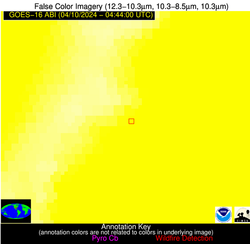
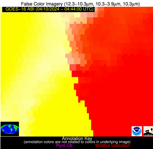
Wildfire Alert Report
| Date: | 2024-04-10 |
|---|---|
| Time: | 04:43:56 |
| Production Date and Time: | 2024-04-10 04:44:33 UTC |
| Primary Instrument: | GOES-16 ABI |
| Wmo Spacecraft Id: | 152 |
| Location/orbit: | GEO |
| L1 File: | OR_ABI-L1b-RadM1-M6C14_G16_s20241010443565_e20241010444008_c20241010444053.nc |
| L1 File(s) - Temporal | OR_ABI-L1b-RadM1-M6C14_G16_s20241010443264_e20241010443308_c20241010443351.nc,OR_ABI-L1b-RadM1-M6C14_G16_s20241010442564_e20241010443008_c20241010443061.nc,OR_ABI-L1b-RadM1-M6C14_G16_s20241010441562_e20241010442008_c20241010442047.nc,OR_ABI-L1b-RadM1-M6C14_G16_s20241010441261_e20241010441308_c20241010441347.nc |
| Number Of Thermal Anomaly Alerts: | 2 |
Possible Wildfire
| Basic Information | |
|---|---|
| State/Province(s) | OK |
| Country/Countries | USA |
| County/Locality(s) | Pittsburg County, OK |
| NWS WFO | Tulsa OK |
| Identification Method | Enhanced Contextual (Cloud) |
| Mean Object Date/Time | 2024-04-10 04:43:58UTC |
| Radiative Center (Lat, Lon): | 35.040000°, -95.580000° |
| Nearby Counties (meeting alert criteria): |
|
| Total Radiative Power Anomaly | n/a |
| Total Radiative Power | 58.83 MW |
| Map: | |
| Additional Information | |
| Alert Status | New Feature |
| Type of Event | Nominal Risk |
| Event Priority Ranking | 4 |
| Maximum Observed BT (3.9 um) | 291.56 K |
| Observed - Background BT (3.9 um) | 14.32 K |
| BT Anomaly (3.9 um) | 15.88 K |
| Maximum Observed - Clear RTM BT (3.9 um) | 7.36 K |
| Maximum Observed BTD (3.9-10/11/12 um) | 21.83 K |
| Observed - Background BTD (3.9-10/11/12 um) | 14.64 K |
| BTD Anomaly (3.9-10/11/12 um) | 12.88 K |
| Similar Pixel Count | 0 |
| BT Time Tendency (3.9 um) | -999.00 K |
| Image Interval | -999.00 minutes |
| Fraction of Surrounding LWIR Pixels that are Colder | 0.89 |
| Fraction of Surrounding Red Channel Pixels that are Brighter | 1.00 |
| Maximum Radiative Power | 40.75 MW |
| Maximum Radiative Power Uncertainty | 0.00 MW |
| Total Radiative Power Uncertainty | 0.00 MW |
| Mean Viewing Angle | 46.40° |
| Mean Solar Zenith Angle | 131.00° |
| Mean Glint Angle | 84.60° |
| Water Fraction | 0.20 |
| Total Pixel Area | 26.60 km2 |
| Latest Satellite Imagery: | |
| View all event imagery » | |
Possible Wildfire
| Basic Information | |
|---|---|
| State/Province(s) | TX |
| Country/Countries | USA |
| County/Locality(s) | Rusk County, TX |
| NWS WFO | Shreveport LA |
| Identification Method | Enhanced Contextual (Cloud) |
| Mean Object Date/Time | 2024-04-10 04:43:58UTC |
| Radiative Center (Lat, Lon): | 31.950000°, -94.720000° |
| Nearby Counties (meeting alert criteria): |
|
| Total Radiative Power Anomaly | n/a |
| Total Radiative Power | 11.60 MW |
| Map: | |
| Additional Information | |
| Alert Status | New Feature |
| Type of Event | Nominal Risk |
| Event Priority Ranking | 4 |
| Maximum Observed BT (3.9 um) | 270.91 K |
| Observed - Background BT (3.9 um) | 15.53 K |
| BT Anomaly (3.9 um) | 12.46 K |
| Maximum Observed - Clear RTM BT (3.9 um) | -17.15 K |
| Maximum Observed BTD (3.9-10/11/12 um) | 40.24 K |
| Observed - Background BTD (3.9-10/11/12 um) | 15.09 K |
| BTD Anomaly (3.9-10/11/12 um) | 18.14 K |
| Similar Pixel Count | 0 |
| BT Time Tendency (3.9 um) | -999.00 K |
| Image Interval | -999.00 minutes |
| Fraction of Surrounding LWIR Pixels that are Colder | 0.82 |
| Fraction of Surrounding Red Channel Pixels that are Brighter | 1.00 |
| Maximum Radiative Power | 11.60 MW |
| Maximum Radiative Power Uncertainty | 0.00 MW |
| Total Radiative Power Uncertainty | 0.00 MW |
| Mean Viewing Angle | 43.00° |
| Mean Solar Zenith Angle | 134.00° |
| Mean Glint Angle | 91.00° |
| Water Fraction | 0.00 |
| Total Pixel Area | 6.20 km2 |
| Latest Satellite Imagery: | |
| View all event imagery » | |


