Wildfire Alert Report
| Date: | 2024-04-10 |
|---|---|
| Time: | 00:16:17 |
| Production Date and Time: | 2024-04-10 00:20:58 UTC |
| Primary Instrument: | GOES-16 ABI |
| Wmo Spacecraft Id: | 152 |
| Location/orbit: | GEO |
| L1 File: | OR_ABI-L1b-RadC-M6C14_G16_s20241010016172_e20241010018545_c20241010019052.nc |
| L1 File(s) - Temporal | OR_ABI-L1b-RadC-M6C14_G16_s20241010011172_e20241010013545_c20241010014035.nc |
| Number Of Thermal Anomaly Alerts: | 3 |
Possible Wildfire
| Basic Information | |
|---|---|
| State/Province(s) | MI |
| Country/Countries | USA |
| County/Locality(s) | Ingham County, MI |
| NWS WFO | Grand Rapids MI |
| Identification Method | Enhanced Contextual (Clear) |
| Mean Object Date/Time | 2024-04-10 00:16:52UTC |
| Radiative Center (Lat, Lon): | 42.730000°, -84.380000° |
| Nearby Counties (meeting alert criteria): |
|
| Total Radiative Power Anomaly | n/a |
| Total Radiative Power | 17.93 MW |
| Map: | |
| Additional Information | |
| Alert Status | New Feature |
| Type of Event | Nominal Risk |
| Event Priority Ranking | 4 |
| Maximum Observed BT (3.9 um) | 291.90 K |
| Observed - Background BT (3.9 um) | 9.41 K |
| BT Anomaly (3.9 um) | 10.65 K |
| Maximum Observed - Clear RTM BT (3.9 um) | 12.02 K |
| Maximum Observed BTD (3.9-10/11/12 um) | 10.06 K |
| Observed - Background BTD (3.9-10/11/12 um) | 8.81 K |
| BTD Anomaly (3.9-10/11/12 um) | 14.10 K |
| Similar Pixel Count | 1 |
| BT Time Tendency (3.9 um) | 4.80 K |
| Image Interval | 5.00 minutes |
| Fraction of Surrounding LWIR Pixels that are Colder | 0.89 |
| Fraction of Surrounding Red Channel Pixels that are Brighter | 1.00 |
| Maximum Radiative Power | 17.93 MW |
| Maximum Radiative Power Uncertainty | 0.00 MW |
| Total Radiative Power Uncertainty | 0.00 MW |
| Mean Viewing Angle | 50.40° |
| Mean Solar Zenith Angle | 91.40° |
| Mean Glint Angle | 71.50° |
| Water Fraction | 0.00 |
| Total Pixel Area | 7.10 km2 |
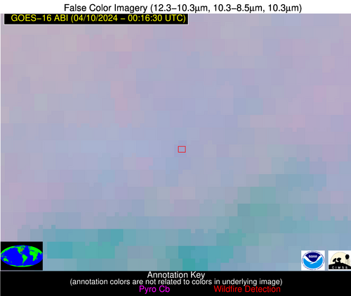
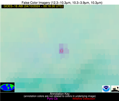
| Latest Satellite Imagery: | |
| View all event imagery » | |
Possible Wildfire
| Basic Information | |
|---|---|
| State/Province(s) | KS |
| Country/Countries | USA |
| County/Locality(s) | Douglas County, KS |
| NWS WFO | Topeka KS |
| Identification Method | Enhanced Contextual (Clear) |
| Mean Object Date/Time | 2024-04-10 00:16:50UTC |
| Radiative Center (Lat, Lon): | 38.830000°, -95.110000° |
| Nearby Counties (meeting alert criteria): |
|
| Total Radiative Power Anomaly | n/a |
| Total Radiative Power | 25.79 MW |
| Map: | |
| Additional Information | |
| Alert Status | New Feature |
| Type of Event | Nominal Risk |
| Event Priority Ranking | 4 |
| Maximum Observed BT (3.9 um) | 294.58 K |
| Observed - Background BT (3.9 um) | 11.72 K |
| BT Anomaly (3.9 um) | 14.67 K |
| Maximum Observed - Clear RTM BT (3.9 um) | 10.65 K |
| Maximum Observed BTD (3.9-10/11/12 um) | 14.02 K |
| Observed - Background BTD (3.9-10/11/12 um) | 11.38 K |
| BTD Anomaly (3.9-10/11/12 um) | 13.41 K |
| Similar Pixel Count | 1 |
| BT Time Tendency (3.9 um) | 6.70 K |
| Image Interval | 5.00 minutes |
| Fraction of Surrounding LWIR Pixels that are Colder | 0.71 |
| Fraction of Surrounding Red Channel Pixels that are Brighter | 0.96 |
| Maximum Radiative Power | 25.79 MW |
| Maximum Radiative Power Uncertainty | 0.00 MW |
| Total Radiative Power Uncertainty | 0.00 MW |
| Mean Viewing Angle | 49.80° |
| Mean Solar Zenith Angle | 84.00° |
| Mean Glint Angle | 59.50° |
| Water Fraction | 0.00 |
| Total Pixel Area | 7.20 km2 |
| Latest Satellite Imagery: | |
| View all event imagery » | |
Possible Wildfire
| Basic Information | |
|---|---|
| State/Province(s) | Unknown |
| Country/Countries | Cuba |
| County/Locality(s) | Cuba |
| NWS WFO | N/A |
| Identification Method | Enhanced Contextual (Clear) |
| Mean Object Date/Time | 2024-04-10 00:18:22UTC |
| Radiative Center (Lat, Lon): | 22.180000°, -79.220000° |
| Nearby Counties (meeting alert criteria): |
|
| Total Radiative Power Anomaly | n/a |
| Total Radiative Power | 13.60 MW |
| Map: | |
| Additional Information | |
| Alert Status | New Feature |
| Type of Event | Nominal Risk |
| Event Priority Ranking | 4 |
| Maximum Observed BT (3.9 um) | 297.12 K |
| Observed - Background BT (3.9 um) | 3.22 K |
| BT Anomaly (3.9 um) | 6.18 K |
| Maximum Observed - Clear RTM BT (3.9 um) | 3.59 K |
| Maximum Observed BTD (3.9-10/11/12 um) | 5.72 K |
| Observed - Background BTD (3.9-10/11/12 um) | 3.40 K |
| BTD Anomaly (3.9-10/11/12 um) | 10.54 K |
| Similar Pixel Count | 2 |
| BT Time Tendency (3.9 um) | 1.50 K |
| Image Interval | 5.00 minutes |
| Fraction of Surrounding LWIR Pixels that are Colder | 0.27 |
| Fraction of Surrounding Red Channel Pixels that are Brighter | 1.00 |
| Maximum Radiative Power | 7.58 MW |
| Maximum Radiative Power Uncertainty | 0.00 MW |
| Total Radiative Power Uncertainty | 0.00 MW |
| Mean Viewing Angle | 26.50° |
| Mean Solar Zenith Angle | 100.30° |
| Mean Glint Angle | 89.10° |
| Water Fraction | 0.00 |
| Total Pixel Area | 9.30 km2 |
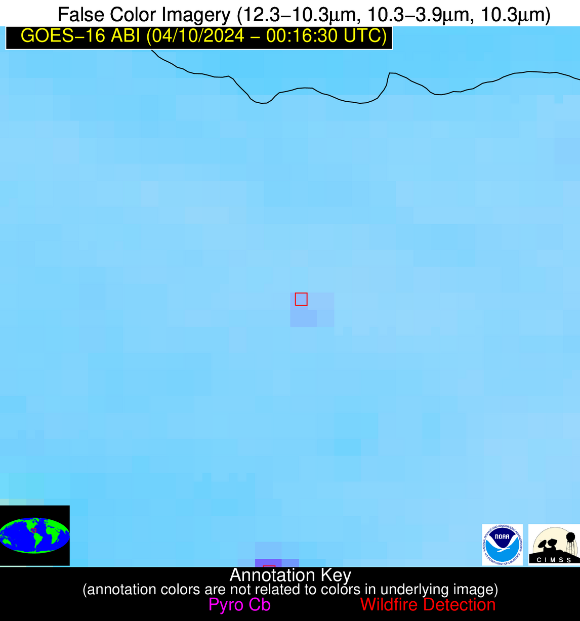
| Latest Satellite Imagery: | |
| View all event imagery » | |


