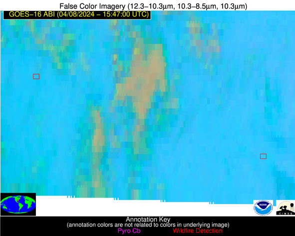
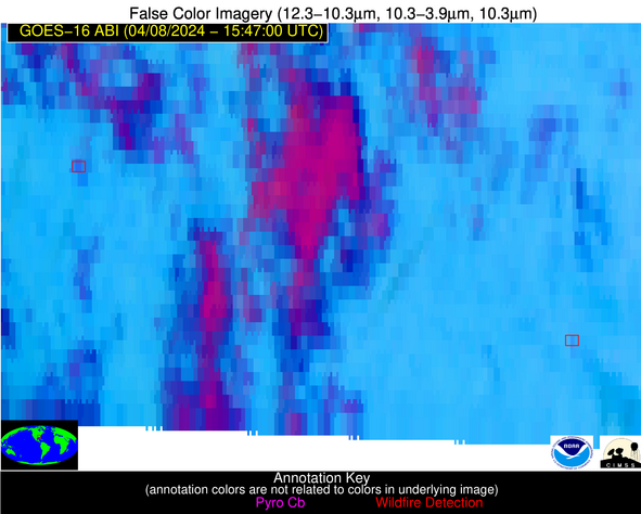
Wildfire Alert Report
| Date: | 2024-04-08 |
|---|---|
| Time: | 15:46:55 |
| Production Date and Time: | 2024-04-08 15:47:31 UTC |
| Primary Instrument: | GOES-16 ABI |
| Wmo Spacecraft Id: | 152 |
| Location/orbit: | GEO |
| L1 File: | OR_ABI-L1b-RadM2-M6C14_G16_s20240991546550_e20240991547008_c20240991547042.nc |
| L1 File(s) - Temporal | OR_ABI-L1b-RadM2-M6C14_G16_s20240991545550_e20240991546008_c20240991546062.nc |
| Number Of Thermal Anomaly Alerts: | 3 |
Possible Wildfire
| Basic Information | |
|---|---|
| State/Province(s) | GA |
| Country/Countries | USA |
| County/Locality(s) | Gordon County, GA |
| NWS WFO | Peachtree City GA |
| Identification Method | Enhanced Contextual (Clear) |
| Mean Object Date/Time | 2024-04-08 15:47:00UTC |
| Radiative Center (Lat, Lon): | 34.450°, -84.730° |
| Nearby Counties (meeting alert criteria): |
|
| Total Radiative Power Anomaly | n/a |
| Total Radiative Power | 25.84 MW |
| Map: | |
| Additional Information | |
| Alert Status | New Feature |
| Type of Event | Nominal Risk |
| Event Priority Ranking | 4 |
| Maximum Observed BT (3.9 um) | 306.81 K |
| Observed - Background BT (3.9 um) | 8.07 K |
| BT Anomaly (3.9 um) | 8.70 K |
| Maximum Observed - Clear RTM BT (3.9 um) | 16.66 K |
| Maximum Observed BTD (3.9-10/11/12 um) | 18.16 K |
| Observed - Background BTD (3.9-10/11/12 um) | 7.28 K |
| BTD Anomaly (3.9-10/11/12 um) | 6.63 K |
| Similar Pixel Count | 17 |
| BT Time Tendency (3.9 um) | 1.80 K |
| Image Interval | 1.00 minutes |
| Fraction of Surrounding LWIR Pixels that are Colder | 0.92 |
| Fraction of Surrounding Red Channel Pixels that are Brighter | 1.00 |
| Maximum Radiative Power | 25.84 MW |
| Maximum Radiative Power Uncertainty | 0.00 MW |
| Total Radiative Power Uncertainty | 0.00 MW |
| Mean Viewing Angle | 41.50° |
| Mean Solar Zenith Angle | 37.80° |
| Mean Glint Angle | 75.20° |
| Water Fraction | 0.00 |
| Total Pixel Area | 5.80 km2 |
| Latest Satellite Imagery: | |
| View all event imagery » | |
Possible Wildfire
| Basic Information | |
|---|---|
| State/Province(s) | AL |
| Country/Countries | USA |
| County/Locality(s) | Clarke County, AL |
| NWS WFO | Mobile AL |
| Identification Method | Enhanced Contextual (Clear) |
| Mean Object Date/Time | 2024-04-08 15:47:00UTC |
| Radiative Center (Lat, Lon): | 31.930°, -87.890° |
| Nearby Counties (meeting alert criteria): |
|
| Total Radiative Power Anomaly | n/a |
| Total Radiative Power | 27.32 MW |
| Map: | |
| Additional Information | |
| Alert Status | New Feature |
| Type of Event | Nominal Risk |
| Event Priority Ranking | 4 |
| Maximum Observed BT (3.9 um) | 306.43 K |
| Observed - Background BT (3.9 um) | 8.32 K |
| BT Anomaly (3.9 um) | 10.16 K |
| Maximum Observed - Clear RTM BT (3.9 um) | 15.78 K |
| Maximum Observed BTD (3.9-10/11/12 um) | 18.74 K |
| Observed - Background BTD (3.9-10/11/12 um) | 8.52 K |
| BTD Anomaly (3.9-10/11/12 um) | 6.64 K |
| Similar Pixel Count | 10 |
| BT Time Tendency (3.9 um) | 1.20 K |
| Image Interval | 1.00 minutes |
| Fraction of Surrounding LWIR Pixels that are Colder | 0.50 |
| Fraction of Surrounding Red Channel Pixels that are Brighter | 0.99 |
| Maximum Radiative Power | 27.32 MW |
| Maximum Radiative Power Uncertainty | 0.00 MW |
| Total Radiative Power Uncertainty | 0.00 MW |
| Mean Viewing Angle | 39.80° |
| Mean Solar Zenith Angle | 38.40° |
| Mean Glint Angle | 74.30° |
| Water Fraction | 0.00 |
| Total Pixel Area | 5.70 km2 |
| Latest Satellite Imagery: | |
| View all event imagery » | |
Possible Wildfire
| Basic Information | |
|---|---|
| State/Province(s) | AL |
| Country/Countries | USA |
| County/Locality(s) | Coffee County, AL |
| NWS WFO | Tallahassee FL |
| Identification Method | Enhanced Contextual (Clear) |
| Mean Object Date/Time | 2024-04-08 15:47:00UTC |
| Radiative Center (Lat, Lon): | 31.610°, -85.900° |
| Nearby Counties (meeting alert criteria): |
|
| Total Radiative Power Anomaly | n/a |
| Total Radiative Power | 11.94 MW |
| Map: | |
| Additional Information | |
| Alert Status | New Feature |
| Type of Event | Nominal Risk |
| Event Priority Ranking | 4 |
| Maximum Observed BT (3.9 um) | 302.71 K |
| Observed - Background BT (3.9 um) | 3.84 K |
| BT Anomaly (3.9 um) | 4.14 K |
| Maximum Observed - Clear RTM BT (3.9 um) | 11.18 K |
| Maximum Observed BTD (3.9-10/11/12 um) | 12.40 K |
| Observed - Background BTD (3.9-10/11/12 um) | 3.61 K |
| BTD Anomaly (3.9-10/11/12 um) | 4.18 K |
| Similar Pixel Count | 16 |
| BT Time Tendency (3.9 um) | 0.90 K |
| Image Interval | 1.00 minutes |
| Fraction of Surrounding LWIR Pixels that are Colder | 0.63 |
| Fraction of Surrounding Red Channel Pixels that are Brighter | 1.00 |
| Maximum Radiative Power | 11.94 MW |
| Maximum Radiative Power Uncertainty | 0.00 MW |
| Total Radiative Power Uncertainty | 0.00 MW |
| Mean Viewing Angle | 38.80° |
| Mean Solar Zenith Angle | 36.80° |
| Mean Glint Angle | 71.60° |
| Water Fraction | 0.00 |
| Total Pixel Area | 5.60 km2 |
| Latest Satellite Imagery: | |
| View all event imagery » | |


