Wildfire Alert Report
| Date: | 2024-04-08 |
|---|---|
| Time: | 08:11:17 |
| Production Date and Time: | 2024-04-08 08:15:51 UTC |
| Primary Instrument: | GOES-16 ABI |
| Wmo Spacecraft Id: | 152 |
| Location/orbit: | GEO |
| L1 File: | OR_ABI-L1b-RadC-M6C14_G16_s20240990811172_e20240990813544_c20240990814041.nc |
| L1 File(s) - Temporal | OR_ABI-L1b-RadC-M6C14_G16_s20240990806172_e20240990808544_c20240990809038.nc |
| Number Of Thermal Anomaly Alerts: | 2 |
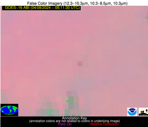
Possible Wildfire
| Basic Information | |
|---|---|
| State/Province(s) | IN |
| Country/Countries | USA |
| County/Locality(s) | Whitley County, IN |
| NWS WFO | Northern Indiana IN |
| Identification Method | Enhanced Contextual (Clear) |
| Mean Object Date/Time | 2024-04-08 08:11:51UTC |
| Radiative Center (Lat, Lon): | 41.120°, -85.340° |
| Nearby Counties (meeting alert criteria): |
|
| Total Radiative Power Anomaly | n/a |
| Total Radiative Power | 17.35 MW |
| Map: | |
| Additional Information | |
| Alert Status | New Feature |
| Type of Event | Ferrous-metal |
| Event Priority Ranking | 5 |
| Maximum Observed BT (3.9 um) | 280.99 K |
| Observed - Background BT (3.9 um) | 5.04 K |
| BT Anomaly (3.9 um) | 12.13 K |
| Maximum Observed - Clear RTM BT (3.9 um) | 2.91 K |
| Maximum Observed BTD (3.9-10/11/12 um) | 5.70 K |
| Observed - Background BTD (3.9-10/11/12 um) | 6.04 K |
| BTD Anomaly (3.9-10/11/12 um) | 17.67 K |
| Similar Pixel Count | 2 |
| BT Time Tendency (3.9 um) | 5.30 K |
| Image Interval | 5.00 minutes |
| Fraction of Surrounding LWIR Pixels that are Colder | 0.05 |
| Fraction of Surrounding Red Channel Pixels that are Brighter | 1.00 |
| Maximum Radiative Power | 9.17 MW |
| Maximum Radiative Power Uncertainty | 0.00 MW |
| Total Radiative Power Uncertainty | 0.00 MW |
| Mean Viewing Angle | 48.90° |
| Mean Solar Zenith Angle | 120.90° |
| Mean Glint Angle | 90.50° |
| Water Fraction | 0.00 |
| Total Pixel Area | 13.70 km2 |
| Latest Satellite Imagery: | |
| View all event imagery » | |
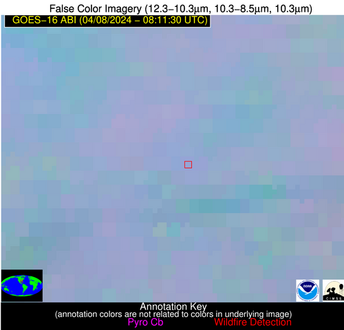
Possible Wildfire
| Basic Information | |
|---|---|
| State/Province(s) | AL |
| Country/Countries | USA |
| County/Locality(s) | Perry County, AL |
| NWS WFO | Birmingham AL |
| Identification Method | Enhanced Contextual (Clear) |
| Mean Object Date/Time | 2024-04-08 08:12:21UTC |
| Radiative Center (Lat, Lon): | 32.810°, -87.170° |
| Nearby Counties (meeting alert criteria): |
|
| Total Radiative Power Anomaly | n/a |
| Total Radiative Power | 10.12 MW |
| Map: | |
| Additional Information | |
| Alert Status | New Feature |
| Type of Event | Nominal Risk, Known Incident: OAK CAHABA LOOKOUT (HIGH, tdiff=0.22336 days, POINT) |
| Event Priority Ranking | 4 |
| Maximum Observed BT (3.9 um) | 288.35 K |
| Observed - Background BT (3.9 um) | 4.71 K |
| BT Anomaly (3.9 um) | 7.02 K |
| Maximum Observed - Clear RTM BT (3.9 um) | 4.51 K |
| Maximum Observed BTD (3.9-10/11/12 um) | 4.63 K |
| Observed - Background BTD (3.9-10/11/12 um) | 3.30 K |
| BTD Anomaly (3.9-10/11/12 um) | 7.41 K |
| Similar Pixel Count | 2 |
| BT Time Tendency (3.9 um) | 1.70 K |
| Image Interval | 5.00 minutes |
| Fraction of Surrounding LWIR Pixels that are Colder | 1.00 |
| Fraction of Surrounding Red Channel Pixels that are Brighter | 1.00 |
| Maximum Radiative Power | 10.12 MW |
| Maximum Radiative Power Uncertainty | 0.00 MW |
| Total Radiative Power Uncertainty | 0.00 MW |
| Mean Viewing Angle | 40.50° |
| Mean Solar Zenith Angle | 127.80° |
| Mean Glint Angle | 105.80° |
| Water Fraction | 0.00 |
| Total Pixel Area | 11.50 km2 |
| Latest Satellite Imagery: | |
| View all event imagery » | |


