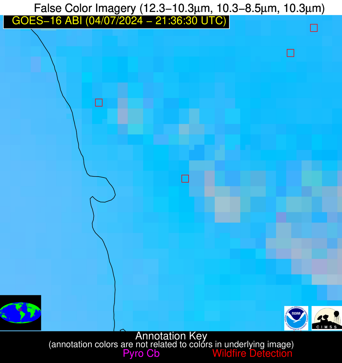
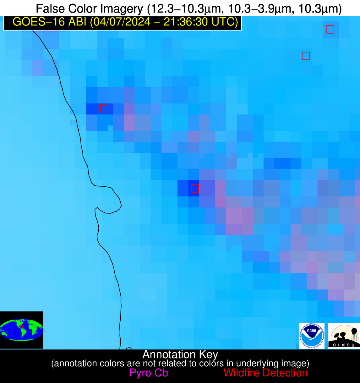
Wildfire Alert Report
| Date: | 2024-04-07 |
|---|---|
| Time: | 21:36:17 |
| Production Date and Time: | 2024-04-07 21:41:09 UTC |
| Primary Instrument: | GOES-16 ABI |
| Wmo Spacecraft Id: | 152 |
| Location/orbit: | GEO |
| L1 File: | OR_ABI-L1b-RadC-M6C14_G16_s20240982136172_e20240982138545_c20240982139013.nc |
| L1 File(s) - Temporal | OR_ABI-L1b-RadC-M6C14_G16_s20240982131172_e20240982133545_c20240982134044.nc |
| Number Of Thermal Anomaly Alerts: | 6 |
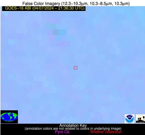
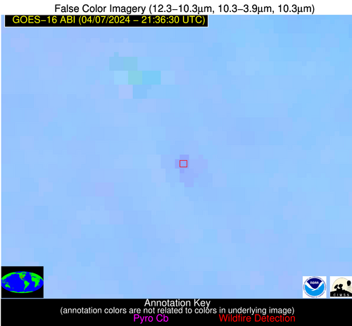
Possible Wildfire
| Basic Information | |
|---|---|
| State/Province(s) | Unknown |
| Country/Countries | Canada |
| County/Locality(s) | Canada |
| NWS WFO | N/A |
| Identification Method | Enhanced Contextual (Cloud) |
| Mean Object Date/Time | 2024-04-07 21:36:18UTC |
| Radiative Center (Lat, Lon): | 49.030000°, -125.480000° |
| Nearby Counties (meeting alert criteria): |
|
| Total Radiative Power Anomaly | n/a |
| Total Radiative Power | 585.92 MW |
| Map: | |
| Additional Information | |
| Alert Status | New Feature |
| Type of Event | Nominal Risk |
| Event Priority Ranking | 4 |
| Maximum Observed BT (3.9 um) | 290.03 K |
| Observed - Background BT (3.9 um) | 20.16 K |
| BT Anomaly (3.9 um) | 6.02 K |
| Maximum Observed - Clear RTM BT (3.9 um) | 16.88 K |
| Maximum Observed BTD (3.9-10/11/12 um) | 33.49 K |
| Observed - Background BTD (3.9-10/11/12 um) | 20.27 K |
| BTD Anomaly (3.9-10/11/12 um) | 6.05 K |
| Similar Pixel Count | 0 |
| BT Time Tendency (3.9 um) | 4.70 K |
| Image Interval | 5.00 minutes |
| Fraction of Surrounding LWIR Pixels that are Colder | 0.73 |
| Fraction of Surrounding Red Channel Pixels that are Brighter | 0.95 |
| Maximum Radiative Power | 585.92 MW |
| Maximum Radiative Power Uncertainty | 0.00 MW |
| Total Radiative Power Uncertainty | 0.00 MW |
| Mean Viewing Angle | 74.20° |
| Mean Solar Zenith Angle | 44.90° |
| Mean Glint Angle | 83.10° |
| Water Fraction | 0.00 |
| Total Pixel Area | 31.90 km2 |
| Latest Satellite Imagery: | |
| View all event imagery » | |
Possible Wildfire
| Basic Information | |
|---|---|
| State/Province(s) | AR |
| Country/Countries | USA |
| County/Locality(s) | Baxter County, AR |
| NWS WFO | Little Rock AR |
| Identification Method | Enhanced Contextual (Clear) |
| Mean Object Date/Time | 2024-04-07 21:36:50UTC |
| Radiative Center (Lat, Lon): | 36.270000°, -92.510000° |
| Nearby Counties (meeting alert criteria): |
|
| Total Radiative Power Anomaly | n/a |
| Total Radiative Power | 28.81 MW |
| Map: | |
| Additional Information | |
| Alert Status | New Feature |
| Type of Event | Nominal Risk |
| Event Priority Ranking | 4 |
| Maximum Observed BT (3.9 um) | 303.73 K |
| Observed - Background BT (3.9 um) | 5.35 K |
| BT Anomaly (3.9 um) | 9.54 K |
| Maximum Observed - Clear RTM BT (3.9 um) | 14.76 K |
| Maximum Observed BTD (3.9-10/11/12 um) | 8.79 K |
| Observed - Background BTD (3.9-10/11/12 um) | 5.78 K |
| BTD Anomaly (3.9-10/11/12 um) | 19.83 K |
| Similar Pixel Count | 2 |
| BT Time Tendency (3.9 um) | 4.60 K |
| Image Interval | 5.00 minutes |
| Fraction of Surrounding LWIR Pixels that are Colder | 0.20 |
| Fraction of Surrounding Red Channel Pixels that are Brighter | 1.00 |
| Maximum Radiative Power | 28.81 MW |
| Maximum Radiative Power Uncertainty | 0.00 MW |
| Total Radiative Power Uncertainty | 0.00 MW |
| Mean Viewing Angle | 46.10° |
| Mean Solar Zenith Angle | 55.00° |
| Mean Glint Angle | 61.10° |
| Water Fraction | 0.00 |
| Total Pixel Area | 13.10 km2 |
| Latest Satellite Imagery: | |
| View all event imagery » | |
Possible Wildfire
| Basic Information | |
|---|---|
| State/Province(s) | OK |
| Country/Countries | USA |
| County/Locality(s) | Blaine County, OK |
| NWS WFO | Norman OK |
| Identification Method | Enhanced Contextual (Clear) |
| Mean Object Date/Time | 2024-04-07 21:37:20UTC |
| Radiative Center (Lat, Lon): | 35.960000°, -98.520000° |
| Nearby Counties (meeting alert criteria): |
|
| Total Radiative Power Anomaly | n/a |
| Total Radiative Power | 12.61 MW |
| Map: | |
| Additional Information | |
| Alert Status | New Feature |
| Type of Event | Elevated SPC Risk |
| Event Priority Ranking | 3 |
| Maximum Observed BT (3.9 um) | 305.61 K |
| Observed - Background BT (3.9 um) | 5.26 K |
| BT Anomaly (3.9 um) | 6.59 K |
| Maximum Observed - Clear RTM BT (3.9 um) | 16.43 K |
| Maximum Observed BTD (3.9-10/11/12 um) | 8.26 K |
| Observed - Background BTD (3.9-10/11/12 um) | 4.14 K |
| BTD Anomaly (3.9-10/11/12 um) | 12.33 K |
| Similar Pixel Count | 3 |
| BT Time Tendency (3.9 um) | 3.80 K |
| Image Interval | 5.00 minutes |
| Fraction of Surrounding LWIR Pixels that are Colder | 0.94 |
| Fraction of Surrounding Red Channel Pixels that are Brighter | 1.00 |
| Maximum Radiative Power | 12.61 MW |
| Maximum Radiative Power Uncertainty | 0.00 MW |
| Total Radiative Power Uncertainty | 0.00 MW |
| Mean Viewing Angle | 48.70° |
| Mean Solar Zenith Angle | 50.40° |
| Mean Glint Angle | 57.20° |
| Water Fraction | 0.00 |
| Total Pixel Area | 7.10 km2 |
| Latest Satellite Imagery: | |
| View all event imagery » | |
Possible Wildfire
| Basic Information | |
|---|---|
| State/Province(s) | Unknown |
| Country/Countries | Cuba |
| County/Locality(s) | Cuba |
| NWS WFO | N/A |
| Identification Method | Enhanced Contextual (Clear) |
| Mean Object Date/Time | 2024-04-07 21:38:21UTC |
| Radiative Center (Lat, Lon): | 22.860000°, -82.750000° |
| Nearby Counties (meeting alert criteria): |
|
| Total Radiative Power Anomaly | n/a |
| Total Radiative Power | 23.56 MW |
| Map: | |
| Additional Information | |
| Alert Status | New Feature |
| Type of Event | Nominal Risk |
| Event Priority Ranking | 4 |
| Maximum Observed BT (3.9 um) | 307.60 K |
| Observed - Background BT (3.9 um) | 6.39 K |
| BT Anomaly (3.9 um) | 4.70 K |
| Maximum Observed - Clear RTM BT (3.9 um) | 12.60 K |
| Maximum Observed BTD (3.9-10/11/12 um) | 8.16 K |
| Observed - Background BTD (3.9-10/11/12 um) | 5.23 K |
| BTD Anomaly (3.9-10/11/12 um) | 7.08 K |
| Similar Pixel Count | 2 |
| BT Time Tendency (3.9 um) | 3.00 K |
| Image Interval | 5.00 minutes |
| Fraction of Surrounding LWIR Pixels that are Colder | 0.93 |
| Fraction of Surrounding Red Channel Pixels that are Brighter | 0.96 |
| Maximum Radiative Power | 23.56 MW |
| Maximum Radiative Power Uncertainty | 0.00 MW |
| Total Radiative Power Uncertainty | 0.00 MW |
| Mean Viewing Angle | 28.20° |
| Mean Solar Zenith Angle | 60.50° |
| Mean Glint Angle | 58.00° |
| Water Fraction | 0.00 |
| Total Pixel Area | 9.50 km2 |
| Latest Satellite Imagery: | |
| View all event imagery » | |
Possible Wildfire
| Basic Information | |
|---|---|
| State/Province(s) | Unknown |
| Country/Countries | Cuba |
| County/Locality(s) | Cuba |
| NWS WFO | N/A |
| Identification Method | Enhanced Contextual (Clear) |
| Mean Object Date/Time | 2024-04-07 21:38:22UTC |
| Radiative Center (Lat, Lon): | 22.690000°, -82.130000° |
| Nearby Counties (meeting alert criteria): |
|
| Total Radiative Power Anomaly | n/a |
| Total Radiative Power | 13.38 MW |
| Map: | |
| Additional Information | |
| Alert Status | New Feature |
| Type of Event | Nominal Risk |
| Event Priority Ranking | 4 |
| Maximum Observed BT (3.9 um) | 304.83 K |
| Observed - Background BT (3.9 um) | 5.43 K |
| BT Anomaly (3.9 um) | 2.12 K |
| Maximum Observed - Clear RTM BT (3.9 um) | 8.02 K |
| Maximum Observed BTD (3.9-10/11/12 um) | 7.73 K |
| Observed - Background BTD (3.9-10/11/12 um) | 5.27 K |
| BTD Anomaly (3.9-10/11/12 um) | 3.63 K |
| Similar Pixel Count | 2 |
| BT Time Tendency (3.9 um) | 3.20 K |
| Image Interval | 5.00 minutes |
| Fraction of Surrounding LWIR Pixels that are Colder | 0.49 |
| Fraction of Surrounding Red Channel Pixels that are Brighter | 1.00 |
| Maximum Radiative Power | 13.38 MW |
| Maximum Radiative Power Uncertainty | 0.00 MW |
| Total Radiative Power Uncertainty | 0.00 MW |
| Mean Viewing Angle | 27.80° |
| Mean Solar Zenith Angle | 61.10° |
| Mean Glint Angle | 58.90° |
| Water Fraction | 0.00 |
| Total Pixel Area | 4.70 km2 |
| Latest Satellite Imagery: | |
| View all event imagery » | |
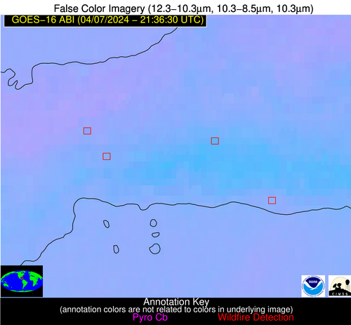
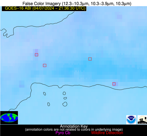
Possible Wildfire
| Basic Information | |
|---|---|
| State/Province(s) | Unknown |
| Country/Countries | Cuba |
| County/Locality(s) | Cuba |
| NWS WFO | N/A |
| Identification Method | Enhanced Contextual (Cloud) |
| Mean Object Date/Time | 2024-04-07 21:38:22UTC |
| Radiative Center (Lat, Lon): | 21.280000°, -78.380000° |
| Nearby Counties (meeting alert criteria): |
|
| Total Radiative Power Anomaly | n/a |
| Total Radiative Power | 106.88 MW |
| Map: | |
| Additional Information | |
| Alert Status | New Feature |
| Type of Event | Nominal Risk |
| Event Priority Ranking | 4 |
| Maximum Observed BT (3.9 um) | 320.93 K |
| Observed - Background BT (3.9 um) | 17.62 K |
| BT Anomaly (3.9 um) | 8.48 K |
| Maximum Observed - Clear RTM BT (3.9 um) | 16.06 K |
| Maximum Observed BTD (3.9-10/11/12 um) | 27.59 K |
| Observed - Background BTD (3.9-10/11/12 um) | 18.19 K |
| BTD Anomaly (3.9-10/11/12 um) | 7.24 K |
| Similar Pixel Count | 0 |
| BT Time Tendency (3.9 um) | 11.30 K |
| Image Interval | 5.00 minutes |
| Fraction of Surrounding LWIR Pixels that are Colder | 0.48 |
| Fraction of Surrounding Red Channel Pixels that are Brighter | 0.35 |
| Maximum Radiative Power | 63.10 MW |
| Maximum Radiative Power Uncertainty | 0.00 MW |
| Total Radiative Power Uncertainty | 0.00 MW |
| Mean Viewing Angle | 25.30° |
| Mean Solar Zenith Angle | 64.50° |
| Mean Glint Angle | 64.50° |
| Water Fraction | 0.00 |
| Total Pixel Area | 9.20 km2 |
| Latest Satellite Imagery: | |
| View all event imagery » | |
