Wildfire Alert Report
| Date: | 2024-04-06 |
|---|---|
| Time: | 18:16:17 |
| Production Date and Time: | 2024-04-06 18:21:21 UTC |
| Primary Instrument: | GOES-16 ABI |
| Wmo Spacecraft Id: | 152 |
| Location/orbit: | GEO |
| L1 File: | OR_ABI-L1b-RadC-M6C14_G16_s20240971816171_e20240971818544_c20240971819048.nc |
| L1 File(s) - Temporal | OR_ABI-L1b-RadC-M6C14_G16_s20240971811171_e20240971813544_c20240971814037.nc |
| Number Of Thermal Anomaly Alerts: | 3 |
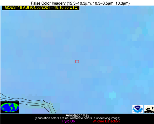
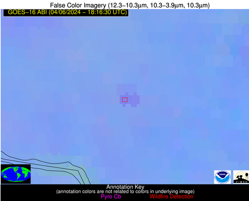
Possible Wildfire
| Basic Information | |
|---|---|
| State/Province(s) | WI |
| Country/Countries | USA |
| County/Locality(s) | Pierce County, WI |
| NWS WFO | Twin Cities/Chanhassen MN |
| Identification Method | Enhanced Contextual (Clear) |
| Mean Object Date/Time | 2024-04-06 18:16:21UTC |
| Radiative Center (Lat, Lon): | 44.760°, -92.200° |
| Nearby Counties (meeting alert criteria): |
|
| Total Radiative Power Anomaly | n/a |
| Total Radiative Power | 30.07 MW |
| Map: | |
| Additional Information | |
| Alert Status | New Feature |
| Type of Event | Nominal Risk |
| Event Priority Ranking | 4 |
| Maximum Observed BT (3.9 um) | 301.53 K |
| Observed - Background BT (3.9 um) | 3.57 K |
| BT Anomaly (3.9 um) | 3.44 K |
| Maximum Observed - Clear RTM BT (3.9 um) | 18.62 K |
| Maximum Observed BTD (3.9-10/11/12 um) | 13.60 K |
| Observed - Background BTD (3.9-10/11/12 um) | 4.14 K |
| BTD Anomaly (3.9-10/11/12 um) | 7.92 K |
| Similar Pixel Count | 23 |
| BT Time Tendency (3.9 um) | 2.00 K |
| Image Interval | 5.00 minutes |
| Fraction of Surrounding LWIR Pixels that are Colder | 0.22 |
| Fraction of Surrounding Red Channel Pixels that are Brighter | 0.99 |
| Maximum Radiative Power | 15.38 MW |
| Maximum Radiative Power Uncertainty | 0.00 MW |
| Total Radiative Power Uncertainty | 0.00 MW |
| Mean Viewing Angle | 54.60° |
| Mean Solar Zenith Angle | 38.30° |
| Mean Glint Angle | 90.10° |
| Water Fraction | 0.00 |
| Total Pixel Area | 16.30 km2 |
| Latest Satellite Imagery: | |
| View all event imagery » | |
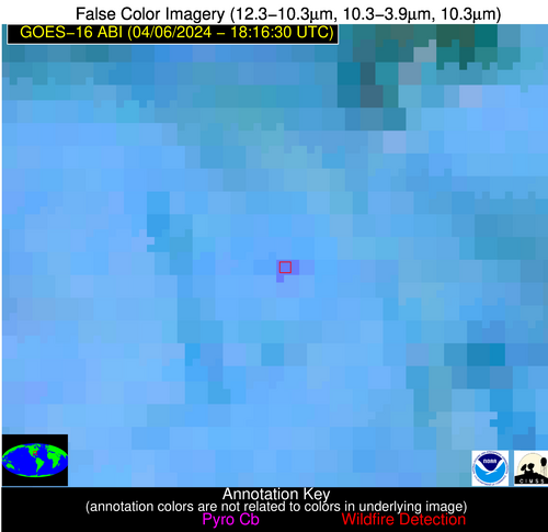
Possible Wildfire
| Basic Information | |
|---|---|
| State/Province(s) | GA |
| Country/Countries | USA |
| County/Locality(s) | Laurens County, GA |
| NWS WFO | Peachtree City GA |
| Identification Method | Enhanced Contextual (Clear) |
| Mean Object Date/Time | 2024-04-06 18:17:22UTC |
| Radiative Center (Lat, Lon): | 32.290°, -82.800° |
| Nearby Counties (meeting alert criteria): |
|
| Total Radiative Power Anomaly | n/a |
| Total Radiative Power | 21.47 MW |
| Map: | |
| Additional Information | |
| Alert Status | New Feature |
| Type of Event | Nominal Risk |
| Event Priority Ranking | 4 |
| Maximum Observed BT (3.9 um) | 306.60 K |
| Observed - Background BT (3.9 um) | 8.91 K |
| BT Anomaly (3.9 um) | 8.19 K |
| Maximum Observed - Clear RTM BT (3.9 um) | 15.55 K |
| Maximum Observed BTD (3.9-10/11/12 um) | 15.21 K |
| Observed - Background BTD (3.9-10/11/12 um) | 7.55 K |
| BTD Anomaly (3.9-10/11/12 um) | 10.83 K |
| Similar Pixel Count | 2 |
| BT Time Tendency (3.9 um) | 4.10 K |
| Image Interval | 5.00 minutes |
| Fraction of Surrounding LWIR Pixels that are Colder | 0.98 |
| Fraction of Surrounding Red Channel Pixels that are Brighter | 1.00 |
| Maximum Radiative Power | 21.47 MW |
| Maximum Radiative Power Uncertainty | 0.00 MW |
| Total Radiative Power Uncertainty | 0.00 MW |
| Mean Viewing Angle | 38.60° |
| Mean Solar Zenith Angle | 27.70° |
| Mean Glint Angle | 62.60° |
| Water Fraction | 0.00 |
| Total Pixel Area | 5.50 km2 |
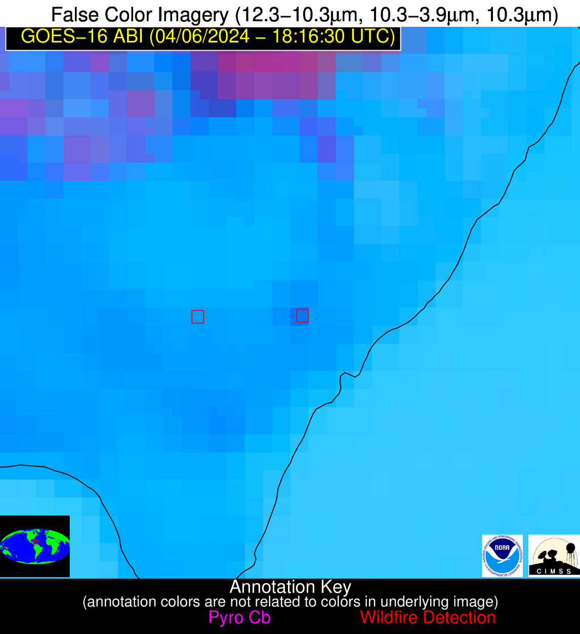
| Latest Satellite Imagery: | |
| View all event imagery » | |
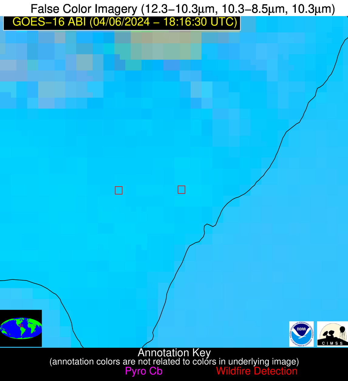
Possible Wildfire
| Basic Information | |
|---|---|
| State/Province(s) | Unknown |
| Country/Countries | Dominican Republic |
| County/Locality(s) | Dominican Republic |
| NWS WFO | N/A |
| Identification Method | Enhanced Contextual (Clear) |
| Mean Object Date/Time | 2024-04-06 18:18:53UTC |
| Radiative Center (Lat, Lon): | 17.900°, -71.320° |
| Nearby Counties (meeting alert criteria): |
|
| Total Radiative Power Anomaly | n/a |
| Total Radiative Power | 23.80 MW |
| Map: | |
| Additional Information | |
| Alert Status | New Feature |
| Type of Event | Nominal Risk |
| Event Priority Ranking | 4 |
| Maximum Observed BT (3.9 um) | 316.85 K |
| Observed - Background BT (3.9 um) | 8.54 K |
| BT Anomaly (3.9 um) | 2.93 K |
| Maximum Observed - Clear RTM BT (3.9 um) | 9.60 K |
| Maximum Observed BTD (3.9-10/11/12 um) | 20.31 K |
| Observed - Background BTD (3.9-10/11/12 um) | 7.94 K |
| BTD Anomaly (3.9-10/11/12 um) | 4.00 K |
| Similar Pixel Count | 17 |
| BT Time Tendency (3.9 um) | 0.90 K |
| Image Interval | 5.00 minutes |
| Fraction of Surrounding LWIR Pixels that are Colder | 0.81 |
| Fraction of Surrounding Red Channel Pixels that are Brighter | 0.80 |
| Maximum Radiative Power | 23.80 MW |
| Maximum Radiative Power Uncertainty | 0.00 MW |
| Total Radiative Power Uncertainty | 0.00 MW |
| Mean Viewing Angle | 21.60° |
| Mean Solar Zenith Angle | 24.50° |
| Mean Glint Angle | 41.10° |
| Water Fraction | 0.00 |
| Total Pixel Area | 4.40 km2 |
| Latest Satellite Imagery: | |
| View all event imagery » | |
