Wildfire Alert Report
| Date: | 2024-04-05 |
|---|---|
| Time: | 16:41:17 |
| Production Date and Time: | 2024-04-05 16:46:02 UTC |
| Primary Instrument: | GOES-16 ABI |
| Wmo Spacecraft Id: | 152 |
| Location/orbit: | GEO |
| L1 File: | OR_ABI-L1b-RadC-M6C14_G16_s20240961641171_e20240961643544_c20240961644038.nc |
| L1 File(s) - Temporal | OR_ABI-L1b-RadC-M6C14_G16_s20240961636171_e20240961638544_c20240961639038.nc |
| Number Of Thermal Anomaly Alerts: | 13 |
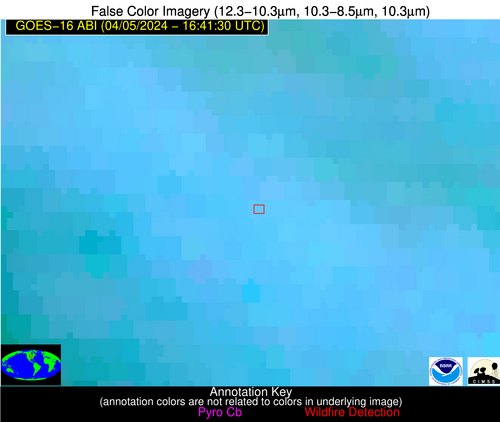
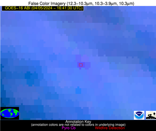
Possible Wildfire
| Basic Information | |
|---|---|
| State/Province(s) | IA |
| Country/Countries | USA |
| County/Locality(s) | Humboldt County, IA |
| NWS WFO | Des Moines IA |
| Identification Method | Enhanced Contextual (Cloud) |
| Mean Object Date/Time | 2024-04-05 16:41:50UTC |
| Radiative Center (Lat, Lon): | 42.730000°, -94.400000° |
| Nearby Counties (meeting alert criteria): |
|
| Total Radiative Power Anomaly | n/a |
| Total Radiative Power | 29.93 MW |
| Map: | |
| Additional Information | |
| Alert Status | New Feature |
| Type of Event | Nominal Risk |
| Event Priority Ranking | 4 |
| Maximum Observed BT (3.9 um) | 311.94 K |
| Observed - Background BT (3.9 um) | 6.58 K |
| BT Anomaly (3.9 um) | 6.26 K |
| Maximum Observed - Clear RTM BT (3.9 um) | 27.51 K |
| Maximum Observed BTD (3.9-10/11/12 um) | 20.58 K |
| Observed - Background BTD (3.9-10/11/12 um) | 5.94 K |
| BTD Anomaly (3.9-10/11/12 um) | 8.49 K |
| Similar Pixel Count | 0 |
| BT Time Tendency (3.9 um) | 4.80 K |
| Image Interval | 5.00 minutes |
| Fraction of Surrounding LWIR Pixels that are Colder | 0.88 |
| Fraction of Surrounding Red Channel Pixels that are Brighter | 1.00 |
| Maximum Radiative Power | 29.93 MW |
| Maximum Radiative Power Uncertainty | 0.00 MW |
| Total Radiative Power Uncertainty | 0.00 MW |
| Mean Viewing Angle | 53.30° |
| Mean Solar Zenith Angle | 42.70° |
| Mean Glint Angle | 95.40° |
| Water Fraction | 0.00 |
| Total Pixel Area | 7.90 km2 |
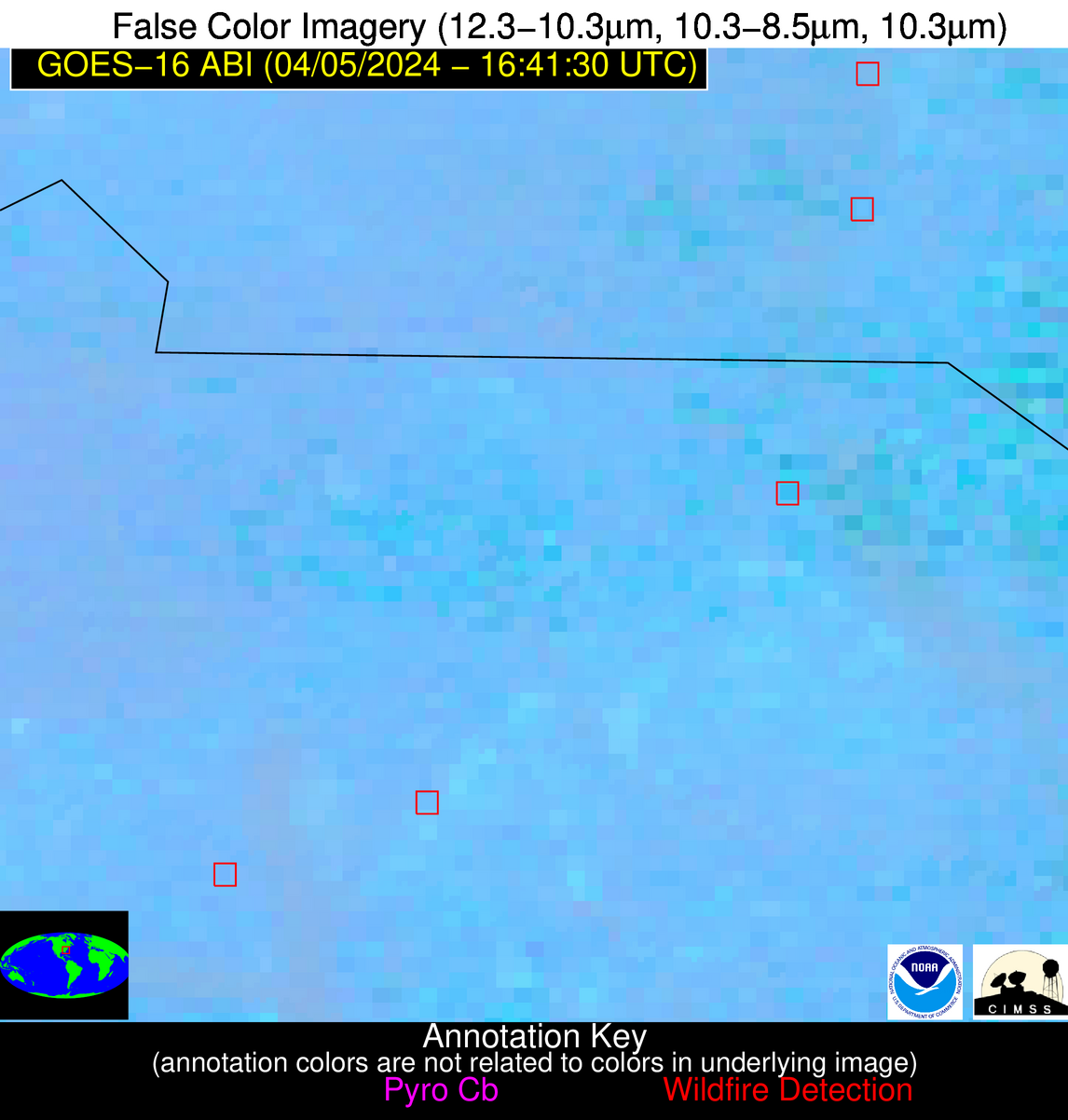
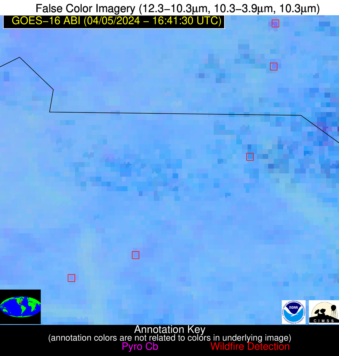
| Latest Satellite Imagery: | |
| View all event imagery » | |
Possible Wildfire
| Basic Information | |
|---|---|
| State/Province(s) | KS |
| Country/Countries | USA |
| County/Locality(s) | Wabaunsee County, KS |
| NWS WFO | Topeka KS |
| Identification Method | Enhanced Contextual (Cloud) |
| Mean Object Date/Time | 2024-04-05 16:41:50UTC |
| Radiative Center (Lat, Lon): | 38.850000°, -96.310000° |
| Nearby Counties (meeting alert criteria): |
|
| Total Radiative Power Anomaly | n/a |
| Total Radiative Power | 78.07 MW |
| Map: | |
| Additional Information | |
| Alert Status | New Feature |
| Type of Event | Nominal Risk |
| Event Priority Ranking | 4 |
| Maximum Observed BT (3.9 um) | 308.22 K |
| Observed - Background BT (3.9 um) | 11.91 K |
| BT Anomaly (3.9 um) | 11.79 K |
| Maximum Observed - Clear RTM BT (3.9 um) | 21.61 K |
| Maximum Observed BTD (3.9-10/11/12 um) | 30.80 K |
| Observed - Background BTD (3.9-10/11/12 um) | 11.98 K |
| BTD Anomaly (3.9-10/11/12 um) | 11.67 K |
| Similar Pixel Count | 0 |
| BT Time Tendency (3.9 um) | 7.50 K |
| Image Interval | 5.00 minutes |
| Fraction of Surrounding LWIR Pixels that are Colder | 0.56 |
| Fraction of Surrounding Red Channel Pixels that are Brighter | 1.00 |
| Maximum Radiative Power | 49.11 MW |
| Maximum Radiative Power Uncertainty | 0.00 MW |
| Total Radiative Power Uncertainty | 0.00 MW |
| Mean Viewing Angle | 50.30° |
| Mean Solar Zenith Angle | 40.70° |
| Mean Glint Angle | 90.40° |
| Water Fraction | 0.00 |
| Total Pixel Area | 14.80 km2 |
| Latest Satellite Imagery: | |
| View all event imagery » | |
Possible Wildfire
| Basic Information | |
|---|---|
| State/Province(s) | KS |
| Country/Countries | USA |
| County/Locality(s) | Miami County, KS |
| NWS WFO | Kansas City/Pleasant Hill MO |
| Identification Method | Enhanced Contextual (Clear) |
| Mean Object Date/Time | 2024-04-05 16:41:50UTC |
| Radiative Center (Lat, Lon): | 38.400000°, -94.930000° |
| Nearby Counties (meeting alert criteria): |
|
| Total Radiative Power Anomaly | n/a |
| Total Radiative Power | 21.29 MW |
| Map: | |
| Additional Information | |
| Alert Status | New Feature |
| Type of Event | Nominal Risk |
| Event Priority Ranking | 4 |
| Maximum Observed BT (3.9 um) | 305.18 K |
| Observed - Background BT (3.9 um) | 5.35 K |
| BT Anomaly (3.9 um) | 4.62 K |
| Maximum Observed - Clear RTM BT (3.9 um) | 20.43 K |
| Maximum Observed BTD (3.9-10/11/12 um) | 16.86 K |
| Observed - Background BTD (3.9-10/11/12 um) | 6.02 K |
| BTD Anomaly (3.9-10/11/12 um) | 5.56 K |
| Similar Pixel Count | 11 |
| BT Time Tendency (3.9 um) | 6.10 K |
| Image Interval | 5.00 minutes |
| Fraction of Surrounding LWIR Pixels that are Colder | 0.32 |
| Fraction of Surrounding Red Channel Pixels that are Brighter | 1.00 |
| Maximum Radiative Power | 21.29 MW |
| Maximum Radiative Power Uncertainty | 0.00 MW |
| Total Radiative Power Uncertainty | 0.00 MW |
| Mean Viewing Angle | 49.30° |
| Mean Solar Zenith Angle | 39.60° |
| Mean Glint Angle | 88.30° |
| Water Fraction | 0.00 |
| Total Pixel Area | 7.10 km2 |
| Latest Satellite Imagery: | |
| View all event imagery » | |
Possible Wildfire
| Basic Information | |
|---|---|
| State/Province(s) | KS |
| Country/Countries | USA |
| County/Locality(s) | Chase County, KS |
| NWS WFO | Wichita KS |
| Identification Method | Enhanced Contextual (Cloud) |
| Mean Object Date/Time | 2024-04-05 16:41:50UTC |
| Radiative Center (Lat, Lon): | 38.220000°, -96.450000° |
| Nearby Counties (meeting alert criteria): |
|
| Total Radiative Power Anomaly | n/a |
| Total Radiative Power | 66.22 MW |
| Map: | |
| Additional Information | |
| Alert Status | New Feature |
| Type of Event | Nominal Risk |
| Event Priority Ranking | 4 |
| Maximum Observed BT (3.9 um) | 307.14 K |
| Observed - Background BT (3.9 um) | 8.63 K |
| BT Anomaly (3.9 um) | 7.05 K |
| Maximum Observed - Clear RTM BT (3.9 um) | 19.34 K |
| Maximum Observed BTD (3.9-10/11/12 um) | 26.03 K |
| Observed - Background BTD (3.9-10/11/12 um) | 8.88 K |
| BTD Anomaly (3.9-10/11/12 um) | 7.84 K |
| Similar Pixel Count | 0 |
| BT Time Tendency (3.9 um) | 9.20 K |
| Image Interval | 5.00 minutes |
| Fraction of Surrounding LWIR Pixels that are Colder | 0.58 |
| Fraction of Surrounding Red Channel Pixels that are Brighter | 1.00 |
| Maximum Radiative Power | 36.16 MW |
| Maximum Radiative Power Uncertainty | 0.00 MW |
| Total Radiative Power Uncertainty | 0.00 MW |
| Mean Viewing Angle | 49.80° |
| Mean Solar Zenith Angle | 40.30° |
| Mean Glint Angle | 89.50° |
| Water Fraction | 0.00 |
| Total Pixel Area | 14.60 km2 |
| Latest Satellite Imagery: | |
| View all event imagery » | |
Possible Wildfire
| Basic Information | |
|---|---|
| State/Province(s) | OK |
| Country/Countries | USA |
| County/Locality(s) | Adair County, OK |
| NWS WFO | Tulsa OK |
| Identification Method | Enhanced Contextual (Clear) |
| Mean Object Date/Time | 2024-04-05 16:42:20UTC |
| Radiative Center (Lat, Lon): | 35.860000°, -94.640000° |
| Nearby Counties (meeting alert criteria): |
|
| Total Radiative Power Anomaly | n/a |
| Total Radiative Power | 8.93 MW |
| Map: | |
| Additional Information | |
| Alert Status | New Feature |
| Type of Event | Nominal Risk |
| Event Priority Ranking | 4 |
| Maximum Observed BT (3.9 um) | 303.20 K |
| Observed - Background BT (3.9 um) | 2.57 K |
| BT Anomaly (3.9 um) | 2.43 K |
| Maximum Observed - Clear RTM BT (3.9 um) | 14.45 K |
| Maximum Observed BTD (3.9-10/11/12 um) | 10.53 K |
| Observed - Background BTD (3.9-10/11/12 um) | 2.51 K |
| BTD Anomaly (3.9-10/11/12 um) | 5.27 K |
| Similar Pixel Count | 25 |
| BT Time Tendency (3.9 um) | 1.50 K |
| Image Interval | 5.00 minutes |
| Fraction of Surrounding LWIR Pixels that are Colder | 0.62 |
| Fraction of Surrounding Red Channel Pixels that are Brighter | 1.00 |
| Maximum Radiative Power | 8.93 MW |
| Maximum Radiative Power Uncertainty | 0.00 MW |
| Total Radiative Power Uncertainty | 0.00 MW |
| Mean Viewing Angle | 46.70° |
| Mean Solar Zenith Angle | 37.60° |
| Mean Glint Angle | 83.70° |
| Water Fraction | 0.00 |
| Total Pixel Area | 6.70 km2 |
| Latest Satellite Imagery: | |
| View all event imagery » | |
Possible Wildfire
| Basic Information | |
|---|---|
| State/Province(s) | NC |
| Country/Countries | USA |
| County/Locality(s) | Richmond County, NC |
| NWS WFO | Raleigh NC |
| Identification Method | Enhanced Contextual (Clear) |
| Mean Object Date/Time | 2024-04-05 16:42:22UTC |
| Radiative Center (Lat, Lon): | 35.050000°, -79.800000° |
| Nearby Counties (meeting alert criteria): |
|
| Total Radiative Power Anomaly | n/a |
| Total Radiative Power | 17.12 MW |
| Map: | |
| Additional Information | |
| Alert Status | New Feature |
| Type of Event | Nominal Risk |
| Event Priority Ranking | 4 |
| Maximum Observed BT (3.9 um) | 304.61 K |
| Observed - Background BT (3.9 um) | 7.26 K |
| BT Anomaly (3.9 um) | 4.45 K |
| Maximum Observed - Clear RTM BT (3.9 um) | 19.88 K |
| Maximum Observed BTD (3.9-10/11/12 um) | 14.14 K |
| Observed - Background BTD (3.9-10/11/12 um) | 6.34 K |
| BTD Anomaly (3.9-10/11/12 um) | 6.25 K |
| Similar Pixel Count | 6 |
| BT Time Tendency (3.9 um) | 3.00 K |
| Image Interval | 5.00 minutes |
| Fraction of Surrounding LWIR Pixels that are Colder | 0.82 |
| Fraction of Surrounding Red Channel Pixels that are Brighter | 1.00 |
| Maximum Radiative Power | 17.12 MW |
| Maximum Radiative Power Uncertainty | 0.00 MW |
| Total Radiative Power Uncertainty | 0.00 MW |
| Mean Viewing Angle | 41.20° |
| Mean Solar Zenith Angle | 30.50° |
| Mean Glint Angle | 71.20° |
| Water Fraction | 0.00 |
| Total Pixel Area | 5.80 km2 |
| Latest Satellite Imagery: | |
| View all event imagery » | |
Possible Wildfire
| Basic Information | |
|---|---|
| State/Province(s) | MS |
| Country/Countries | USA |
| County/Locality(s) | Marshall County, MS |
| NWS WFO | Memphis TN |
| Identification Method | Enhanced Contextual (Clear) |
| Mean Object Date/Time | 2024-04-05 16:42:21UTC |
| Radiative Center (Lat, Lon): | 34.660000°, -89.530000° |
| Nearby Counties (meeting alert criteria): |
|
| Total Radiative Power Anomaly | n/a |
| Total Radiative Power | 24.62 MW |
| Map: | |
| Additional Information | |
| Alert Status | New Feature |
| Type of Event | Nominal Risk |
| Event Priority Ranking | 4 |
| Maximum Observed BT (3.9 um) | 300.63 K |
| Observed - Background BT (3.9 um) | 3.78 K |
| BT Anomaly (3.9 um) | 2.81 K |
| Maximum Observed - Clear RTM BT (3.9 um) | 16.42 K |
| Maximum Observed BTD (3.9-10/11/12 um) | 11.66 K |
| Observed - Background BTD (3.9-10/11/12 um) | 4.28 K |
| BTD Anomaly (3.9-10/11/12 um) | 6.13 K |
| Similar Pixel Count | 6 |
| BT Time Tendency (3.9 um) | 0.90 K |
| Image Interval | 5.00 minutes |
| Fraction of Surrounding LWIR Pixels that are Colder | 0.23 |
| Fraction of Surrounding Red Channel Pixels that are Brighter | 1.00 |
| Maximum Radiative Power | 12.71 MW |
| Maximum Radiative Power Uncertainty | 0.00 MW |
| Total Radiative Power Uncertainty | 0.00 MW |
| Mean Viewing Angle | 43.30° |
| Mean Solar Zenith Angle | 34.00° |
| Mean Glint Angle | 76.70° |
| Water Fraction | 0.00 |
| Total Pixel Area | 12.20 km2 |
| Latest Satellite Imagery: | |
| View all event imagery » | |
Possible Wildfire
| Basic Information | |
|---|---|
| State/Province(s) | SC |
| Country/Countries | USA |
| County/Locality(s) | Richland County, SC |
| NWS WFO | Columbia SC |
| Identification Method | Enhanced Contextual (Clear) |
| Mean Object Date/Time | 2024-04-05 16:42:22UTC |
| Radiative Center (Lat, Lon): | 33.960000°, -80.700000° |
| Nearby Counties (meeting alert criteria): |
|
| Total Radiative Power Anomaly | n/a |
| Total Radiative Power | 8.93 MW |
| Map: | |
| Additional Information | |
| Alert Status | New Feature |
| Type of Event | Nominal Risk |
| Event Priority Ranking | 4 |
| Maximum Observed BT (3.9 um) | 301.77 K |
| Observed - Background BT (3.9 um) | 3.99 K |
| BT Anomaly (3.9 um) | 2.22 K |
| Maximum Observed - Clear RTM BT (3.9 um) | 14.91 K |
| Maximum Observed BTD (3.9-10/11/12 um) | 10.53 K |
| Observed - Background BTD (3.9-10/11/12 um) | 3.55 K |
| BTD Anomaly (3.9-10/11/12 um) | 4.50 K |
| Similar Pixel Count | 15 |
| BT Time Tendency (3.9 um) | 1.90 K |
| Image Interval | 5.00 minutes |
| Fraction of Surrounding LWIR Pixels that are Colder | 0.70 |
| Fraction of Surrounding Red Channel Pixels that are Brighter | 1.00 |
| Maximum Radiative Power | 8.93 MW |
| Maximum Radiative Power Uncertainty | 0.00 MW |
| Total Radiative Power Uncertainty | 0.00 MW |
| Mean Viewing Angle | 40.10° |
| Mean Solar Zenith Angle | 29.70° |
| Mean Glint Angle | 69.30° |
| Water Fraction | 0.00 |
| Total Pixel Area | 5.60 km2 |
| Latest Satellite Imagery: | |
| View all event imagery » | |
Possible Wildfire
| Basic Information | |
|---|---|
| State/Province(s) | GA |
| Country/Countries | USA |
| County/Locality(s) | Jones County, GA |
| NWS WFO | Peachtree City GA |
| Identification Method | Enhanced Contextual (Clear) |
| Mean Object Date/Time | 2024-04-05 16:42:21UTC |
| Radiative Center (Lat, Lon): | 33.080000°, -83.710000° |
| Nearby Counties (meeting alert criteria): |
|
| Total Radiative Power Anomaly | n/a |
| Total Radiative Power | 6.18 MW |
| Map: | |
| Additional Information | |
| Alert Status | New Feature |
| Type of Event | Nominal Risk |
| Event Priority Ranking | 4 |
| Maximum Observed BT (3.9 um) | 298.53 K |
| Observed - Background BT (3.9 um) | 2.61 K |
| BT Anomaly (3.9 um) | 2.81 K |
| Maximum Observed - Clear RTM BT (3.9 um) | 13.03 K |
| Maximum Observed BTD (3.9-10/11/12 um) | 8.45 K |
| Observed - Background BTD (3.9-10/11/12 um) | 2.55 K |
| BTD Anomaly (3.9-10/11/12 um) | 6.07 K |
| Similar Pixel Count | 24 |
| BT Time Tendency (3.9 um) | 1.60 K |
| Image Interval | 5.00 minutes |
| Fraction of Surrounding LWIR Pixels that are Colder | 0.51 |
| Fraction of Surrounding Red Channel Pixels that are Brighter | 1.00 |
| Maximum Radiative Power | 6.18 MW |
| Maximum Radiative Power Uncertainty | 0.00 MW |
| Total Radiative Power Uncertainty | 0.00 MW |
| Mean Viewing Angle | 39.70° |
| Mean Solar Zenith Angle | 30.00° |
| Mean Glint Angle | 69.20° |
| Water Fraction | 0.00 |
| Total Pixel Area | 5.60 km2 |
| Latest Satellite Imagery: | |
| View all event imagery » | |
Possible Wildfire
| Basic Information | |
|---|---|
| State/Province(s) | AL |
| Country/Countries | USA |
| County/Locality(s) | Wilcox County, AL |
| NWS WFO | Mobile AL |
| Identification Method | Enhanced Contextual (Clear) |
| Mean Object Date/Time | 2024-04-05 16:42:21UTC |
| Radiative Center (Lat, Lon): | 31.850000°, -87.440000° |
| Nearby Counties (meeting alert criteria): |
|
| Total Radiative Power Anomaly | n/a |
| Total Radiative Power | 13.32 MW |
| Map: | |
| Additional Information | |
| Alert Status | New Feature |
| Type of Event | Nominal Risk |
| Event Priority Ranking | 4 |
| Maximum Observed BT (3.9 um) | 301.12 K |
| Observed - Background BT (3.9 um) | 3.41 K |
| BT Anomaly (3.9 um) | 2.71 K |
| Maximum Observed - Clear RTM BT (3.9 um) | 12.59 K |
| Maximum Observed BTD (3.9-10/11/12 um) | 7.85 K |
| Observed - Background BTD (3.9-10/11/12 um) | 2.76 K |
| BTD Anomaly (3.9-10/11/12 um) | 4.24 K |
| Similar Pixel Count | 11 |
| BT Time Tendency (3.9 um) | 1.30 K |
| Image Interval | 5.00 minutes |
| Fraction of Surrounding LWIR Pixels that are Colder | 0.83 |
| Fraction of Surrounding Red Channel Pixels that are Brighter | 1.00 |
| Maximum Radiative Power | 6.77 MW |
| Maximum Radiative Power Uncertainty | 0.00 MW |
| Total Radiative Power Uncertainty | 0.00 MW |
| Mean Viewing Angle | 39.60° |
| Mean Solar Zenith Angle | 30.70° |
| Mean Glint Angle | 69.60° |
| Water Fraction | 0.00 |
| Total Pixel Area | 11.30 km2 |
| Latest Satellite Imagery: | |
| View all event imagery » | |
Possible Wildfire
| Basic Information | |
|---|---|
| State/Province(s) | GA |
| Country/Countries | USA |
| County/Locality(s) | Camden County, GA |
| NWS WFO | Jacksonville FL |
| Identification Method | Enhanced Contextual (Clear) |
| Mean Object Date/Time | 2024-04-05 16:42:22UTC |
| Radiative Center (Lat, Lon): | 30.930000°, -81.640000° |
| Nearby Counties (meeting alert criteria): |
|
| Total Radiative Power Anomaly | n/a |
| Total Radiative Power | 6.81 MW |
| Map: | |
| Additional Information | |
| Alert Status | New Feature |
| Type of Event | Nominal Risk |
| Event Priority Ranking | 4 |
| Maximum Observed BT (3.9 um) | 301.00 K |
| Observed - Background BT (3.9 um) | 3.30 K |
| BT Anomaly (3.9 um) | 2.44 K |
| Maximum Observed - Clear RTM BT (3.9 um) | 11.20 K |
| Maximum Observed BTD (3.9-10/11/12 um) | 7.89 K |
| Observed - Background BTD (3.9-10/11/12 um) | 2.89 K |
| BTD Anomaly (3.9-10/11/12 um) | 4.56 K |
| Similar Pixel Count | 7 |
| BT Time Tendency (3.9 um) | 1.30 K |
| Image Interval | 5.00 minutes |
| Fraction of Surrounding LWIR Pixels that are Colder | 0.77 |
| Fraction of Surrounding Red Channel Pixels that are Brighter | 1.00 |
| Maximum Radiative Power | 6.81 MW |
| Maximum Radiative Power Uncertainty | 0.00 MW |
| Total Radiative Power Uncertainty | 0.00 MW |
| Mean Viewing Angle | 36.90° |
| Mean Solar Zenith Angle | 27.30° |
| Mean Glint Angle | 63.60° |
| Water Fraction | 0.00 |
| Total Pixel Area | 5.40 km2 |
| Latest Satellite Imagery: | |
| View all event imagery » | |
Possible Wildfire
| Basic Information | |
|---|---|
| State/Province(s) | LA |
| Country/Countries | USA |
| County/Locality(s) | St. Helena Parish, LA |
| NWS WFO | New Orleans LA |
| Identification Method | Enhanced Contextual (Clear) |
| Mean Object Date/Time | 2024-04-05 16:42:21UTC |
| Radiative Center (Lat, Lon): | 30.880000°, -90.720000° |
| Nearby Counties (meeting alert criteria): |
|
| Total Radiative Power Anomaly | n/a |
| Total Radiative Power | 34.49 MW |
| Map: | |
| Additional Information | |
| Alert Status | New Feature |
| Type of Event | Nominal Risk |
| Event Priority Ranking | 4 |
| Maximum Observed BT (3.9 um) | 306.26 K |
| Observed - Background BT (3.9 um) | 5.90 K |
| BT Anomaly (3.9 um) | 6.89 K |
| Maximum Observed - Clear RTM BT (3.9 um) | 15.65 K |
| Maximum Observed BTD (3.9-10/11/12 um) | 12.83 K |
| Observed - Background BTD (3.9-10/11/12 um) | 6.81 K |
| BTD Anomaly (3.9-10/11/12 um) | 14.20 K |
| Similar Pixel Count | 3 |
| BT Time Tendency (3.9 um) | 3.90 K |
| Image Interval | 5.00 minutes |
| Fraction of Surrounding LWIR Pixels that are Colder | 0.01 |
| Fraction of Surrounding Red Channel Pixels that are Brighter | 1.00 |
| Maximum Radiative Power | 34.49 MW |
| Maximum Radiative Power Uncertainty | 0.00 MW |
| Total Radiative Power Uncertainty | 0.00 MW |
| Mean Viewing Angle | 39.90° |
| Mean Solar Zenith Angle | 31.70° |
| Mean Glint Angle | 71.00° |
| Water Fraction | 0.00 |
| Total Pixel Area | 11.50 km2 |
| Latest Satellite Imagery: | |
| View all event imagery » | |
Possible Wildfire
| Basic Information | |
|---|---|
| State/Province(s) | Unknown |
| Country/Countries | Dominican Republic |
| County/Locality(s) | Dominican Republic |
| NWS WFO | N/A |
| Identification Method | Enhanced Contextual (Cloud) |
| Mean Object Date/Time | 2024-04-05 16:43:53UTC |
| Radiative Center (Lat, Lon): | 19.060000°, -71.540000° |
| Nearby Counties (meeting alert criteria): |
|
| Total Radiative Power Anomaly | n/a |
| Total Radiative Power | 82.07 MW |
| Map: | |
| Additional Information | |
| Alert Status | New Feature |
| Type of Event | Nominal Risk |
| Event Priority Ranking | 4 |
| Maximum Observed BT (3.9 um) | 330.90 K |
| Observed - Background BT (3.9 um) | 12.07 K |
| BT Anomaly (3.9 um) | 6.92 K |
| Maximum Observed - Clear RTM BT (3.9 um) | 18.98 K |
| Maximum Observed BTD (3.9-10/11/12 um) | 33.61 K |
| Observed - Background BTD (3.9-10/11/12 um) | 12.08 K |
| BTD Anomaly (3.9-10/11/12 um) | 6.50 K |
| Similar Pixel Count | 0 |
| BT Time Tendency (3.9 um) | 7.50 K |
| Image Interval | 5.00 minutes |
| Fraction of Surrounding LWIR Pixels that are Colder | 0.60 |
| Fraction of Surrounding Red Channel Pixels that are Brighter | 0.61 |
| Maximum Radiative Power | 82.07 MW |
| Maximum Radiative Power Uncertainty | 0.00 MW |
| Total Radiative Power Uncertainty | 0.00 MW |
| Mean Viewing Angle | 22.80° |
| Mean Solar Zenith Angle | 13.10° |
| Mean Glint Angle | 35.50° |
| Water Fraction | 0.00 |
| Total Pixel Area | 4.50 km2 |
| Latest Satellite Imagery: | |
| View all event imagery » | |
