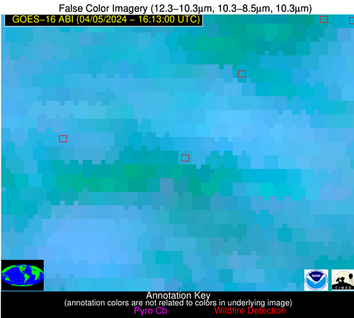
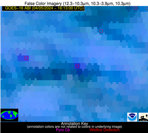
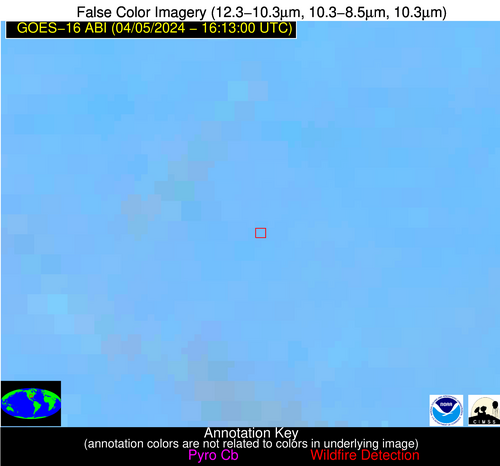
Wildfire Alert Report
| Date: | 2024-04-05 |
|---|---|
| Time: | 16:12:54 |
| Production Date and Time: | 2024-04-05 16:13:40 UTC |
| Primary Instrument: | GOES-16 ABI |
| Wmo Spacecraft Id: | 152 |
| Location/orbit: | GEO |
| L1 File: | OR_ABI-L1b-RadM2-M6C14_G16_s20240961612549_e20240961613007_c20240961613063.nc |
| L1 File(s) - Temporal | OR_ABI-L1b-RadM2-M6C14_G16_s20240961611549_e20240961612007_c20240961612064.nc |
| Number Of Thermal Anomaly Alerts: | 2 |
Possible Wildfire
| Basic Information | |
|---|---|
| State/Province(s) | KS |
| Country/Countries | USA |
| County/Locality(s) | Lyon County, KS |
| NWS WFO | Topeka KS |
| Identification Method | Enhanced Contextual (Cloud) |
| Mean Object Date/Time | 2024-04-05 16:12:59UTC |
| Radiative Center (Lat, Lon): | 38.310000°, -96.190000° |
| Nearby Counties (meeting alert criteria): |
|
| Total Radiative Power Anomaly | n/a |
| Total Radiative Power | 40.79 MW |
| Map: | |
| Additional Information | |
| Alert Status | New Feature |
| Type of Event | Nominal Risk |
| Event Priority Ranking | 4 |
| Maximum Observed BT (3.9 um) | 308.86 K |
| Observed - Background BT (3.9 um) | 11.98 K |
| BT Anomaly (3.9 um) | 7.97 K |
| Maximum Observed - Clear RTM BT (3.9 um) | 22.56 K |
| Maximum Observed BTD (3.9-10/11/12 um) | 27.64 K |
| Observed - Background BTD (3.9-10/11/12 um) | 12.19 K |
| BTD Anomaly (3.9-10/11/12 um) | 8.39 K |
| Similar Pixel Count | 0 |
| BT Time Tendency (3.9 um) | 3.80 K |
| Image Interval | 1.00 minutes |
| Fraction of Surrounding LWIR Pixels that are Colder | 0.41 |
| Fraction of Surrounding Red Channel Pixels that are Brighter | 0.98 |
| Maximum Radiative Power | 40.79 MW |
| Maximum Radiative Power Uncertainty | 0.00 MW |
| Total Radiative Power Uncertainty | 0.00 MW |
| Mean Viewing Angle | 49.70° |
| Mean Solar Zenith Angle | 44.30° |
| Mean Glint Angle | 92.20° |
| Water Fraction | 0.00 |
| Total Pixel Area | 7.30 km2 |
| Latest Satellite Imagery: | |
| View all event imagery » | |
Possible Wildfire
| Basic Information | |
|---|---|
| State/Province(s) | OK |
| Country/Countries | USA |
| County/Locality(s) | Sequoyah County, OK |
| NWS WFO | Tulsa OK |
| Identification Method | Enhanced Contextual (Clear) |
| Mean Object Date/Time | 2024-04-05 16:12:59UTC |
| Radiative Center (Lat, Lon): | 35.590000°, -94.890000° |
| Nearby Counties (meeting alert criteria): |
|
| Total Radiative Power Anomaly | n/a |
| Total Radiative Power | 8.69 MW |
| Map: | |
| Additional Information | |
| Alert Status | New Feature |
| Type of Event | Nominal Risk |
| Event Priority Ranking | 4 |
| Maximum Observed BT (3.9 um) | 301.57 K |
| Observed - Background BT (3.9 um) | 3.93 K |
| BT Anomaly (3.9 um) | 4.20 K |
| Maximum Observed - Clear RTM BT (3.9 um) | 14.89 K |
| Maximum Observed BTD (3.9-10/11/12 um) | 10.33 K |
| Observed - Background BTD (3.9-10/11/12 um) | 3.30 K |
| BTD Anomaly (3.9-10/11/12 um) | 6.65 K |
| Similar Pixel Count | 21 |
| BT Time Tendency (3.9 um) | 0.30 K |
| Image Interval | 1.00 minutes |
| Fraction of Surrounding LWIR Pixels that are Colder | 0.88 |
| Fraction of Surrounding Red Channel Pixels that are Brighter | 1.00 |
| Maximum Radiative Power | 8.69 MW |
| Maximum Radiative Power Uncertainty | 0.00 MW |
| Total Radiative Power Uncertainty | 0.00 MW |
| Mean Viewing Angle | 46.50° |
| Mean Solar Zenith Angle | 41.90° |
| Mean Glint Angle | 86.50° |
| Water Fraction | 0.00 |
| Total Pixel Area | 6.70 km2 |
| Latest Satellite Imagery: | |
| View all event imagery » | |


