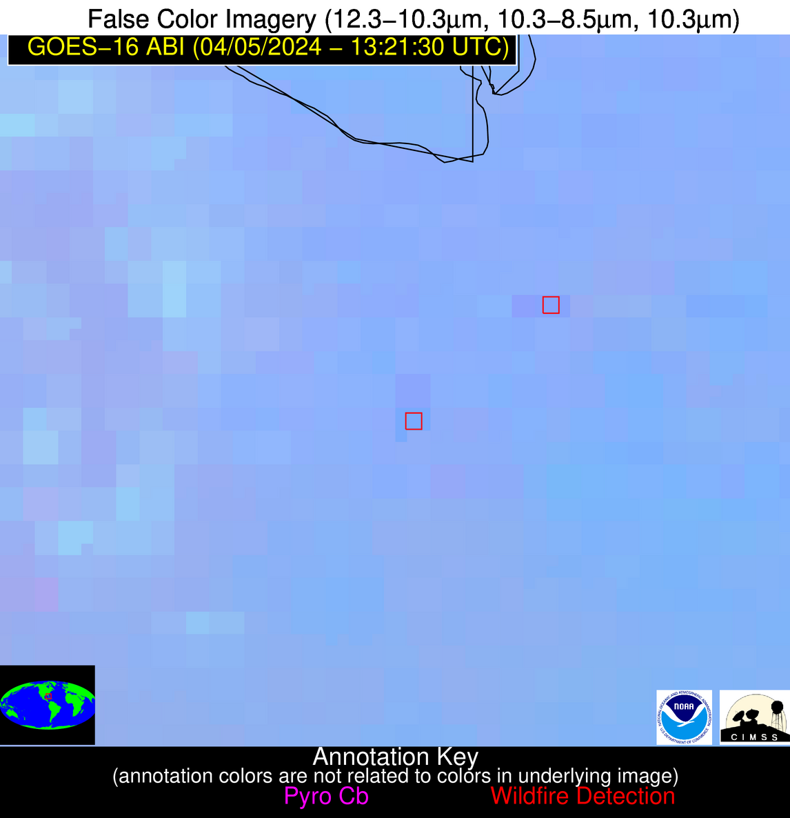
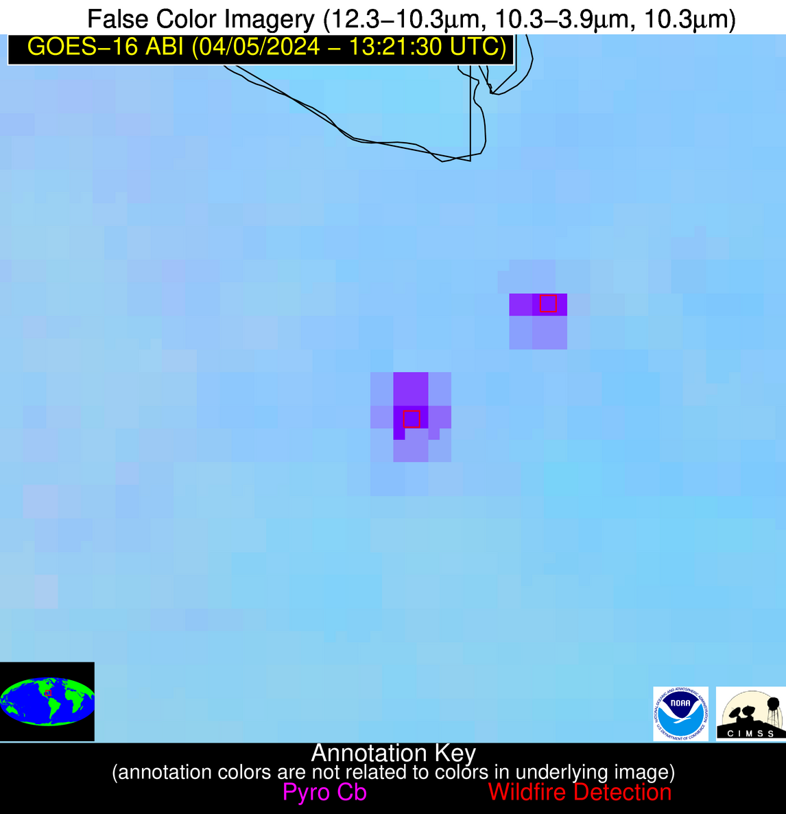
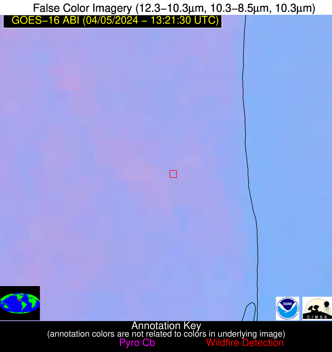
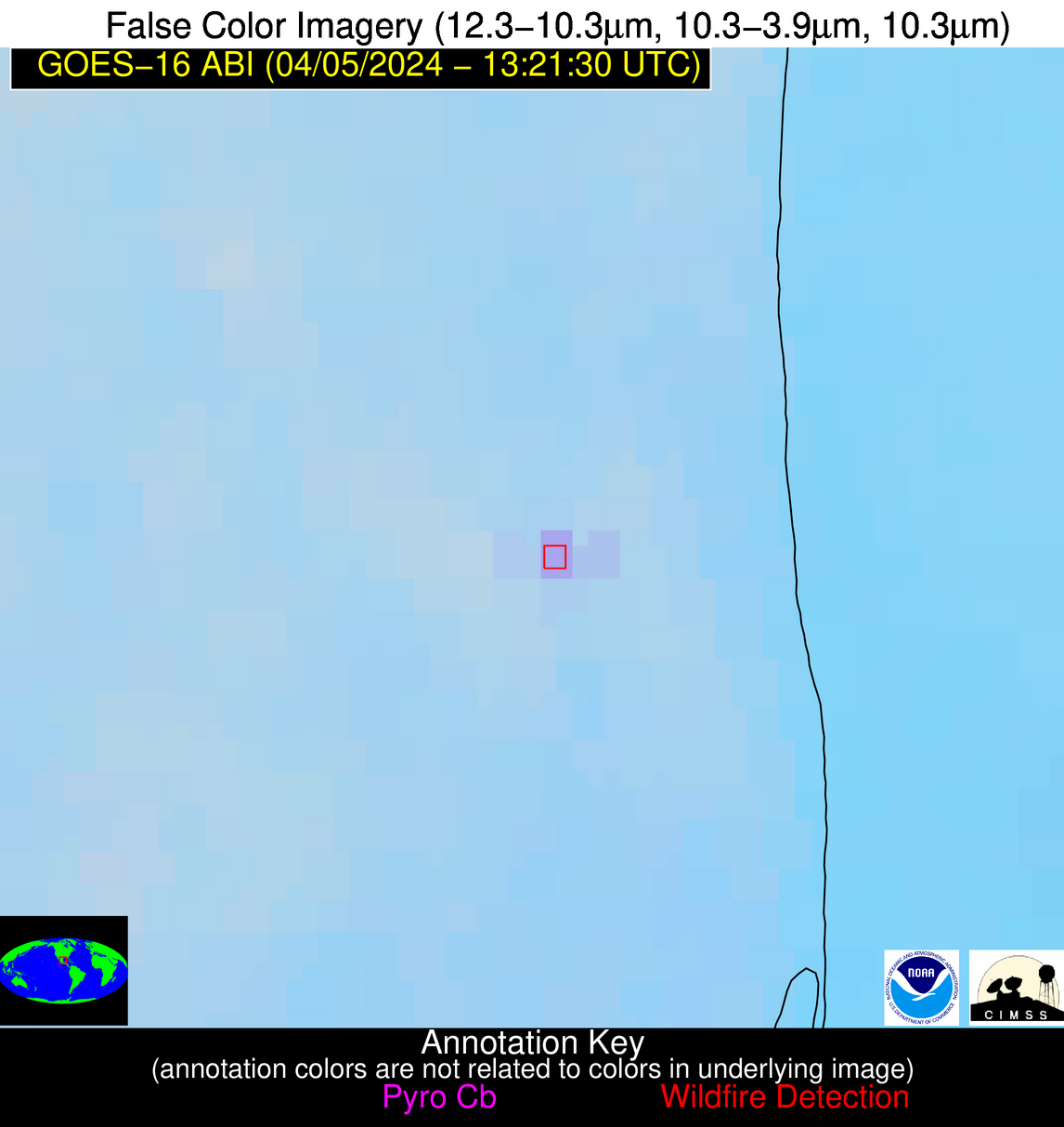
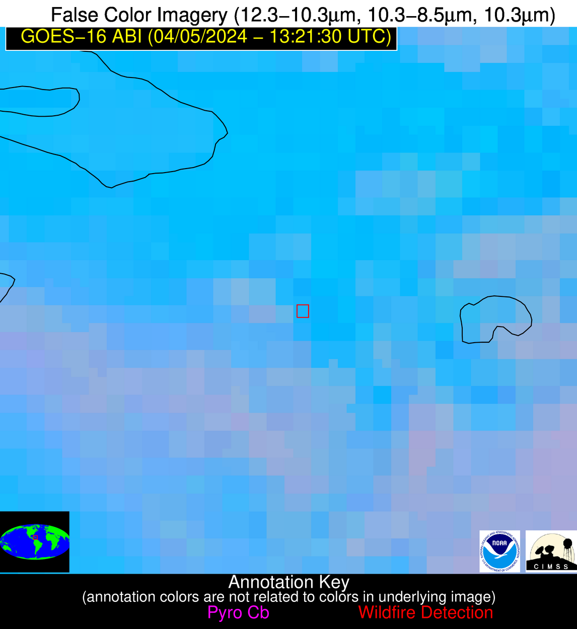
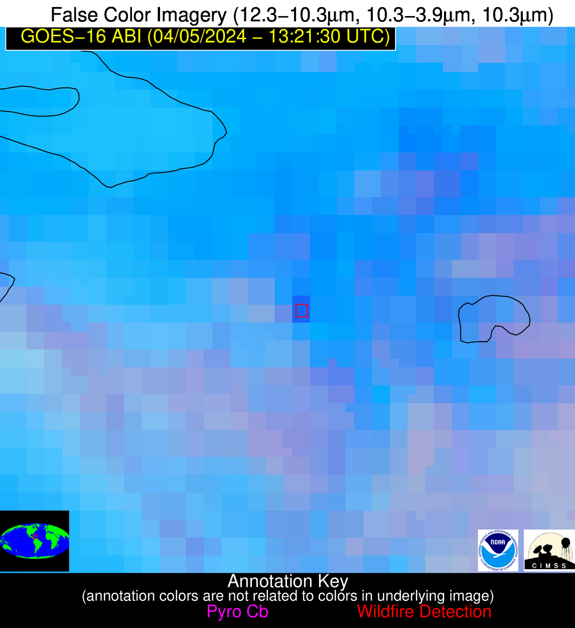
Wildfire Alert Report
| Date: | 2024-04-05 |
|---|---|
| Time: | 13:21:17 |
| Production Date and Time: | 2024-04-05 13:25:46 UTC |
| Primary Instrument: | GOES-16 ABI |
| Wmo Spacecraft Id: | 152 |
| Location/orbit: | GEO |
| L1 File: | OR_ABI-L1b-RadC-M6C14_G16_s20240961321171_e20240961323544_c20240961324051.nc |
| L1 File(s) - Temporal | OR_ABI-L1b-RadC-M6C14_G16_s20240961316171_e20240961318544_c20240961319025.nc |
| Number Of Thermal Anomaly Alerts: | 6 |
Possible Wildfire
| Basic Information | |
|---|---|
| State/Province(s) | AL |
| Country/Countries | USA |
| County/Locality(s) | Limestone County, AL |
| NWS WFO | Huntsville AL |
| Identification Method | Enhanced Contextual (Clear) |
| Mean Object Date/Time | 2024-04-05 13:22:21UTC |
| Radiative Center (Lat, Lon): | 34.790000°, -86.850000° |
| Nearby Counties (meeting alert criteria): |
|
| Total Radiative Power Anomaly | n/a |
| Total Radiative Power | 4.08 MW |
| Map: | |
| Additional Information | |
| Alert Status | New Feature |
| Type of Event | Nominal Risk |
| Event Priority Ranking | 4 |
| Maximum Observed BT (3.9 um) | 285.58 K |
| Observed - Background BT (3.9 um) | 3.13 K |
| BT Anomaly (3.9 um) | 3.31 K |
| Maximum Observed - Clear RTM BT (3.9 um) | 10.39 K |
| Maximum Observed BTD (3.9-10/11/12 um) | 6.18 K |
| Observed - Background BTD (3.9-10/11/12 um) | 2.82 K |
| BTD Anomaly (3.9-10/11/12 um) | 6.31 K |
| Similar Pixel Count | 4 |
| BT Time Tendency (3.9 um) | 1.40 K |
| Image Interval | 5.00 minutes |
| Fraction of Surrounding LWIR Pixels that are Colder | 0.65 |
| Fraction of Surrounding Red Channel Pixels that are Brighter | 1.00 |
| Maximum Radiative Power | 4.08 MW |
| Maximum Radiative Power Uncertainty | 0.00 MW |
| Total Radiative Power Uncertainty | 0.00 MW |
| Mean Viewing Angle | 42.50° |
| Mean Solar Zenith Angle | 67.80° |
| Mean Glint Angle | 91.00° |
| Water Fraction | 0.00 |
| Total Pixel Area | 6.00 km2 |
| Latest Satellite Imagery: | |
| View all event imagery » | |
Possible Wildfire
| Basic Information | |
|---|---|
| State/Province(s) | MS |
| Country/Countries | USA |
| County/Locality(s) | Oktibbeha County, MS |
| NWS WFO | Jackson MS |
| Identification Method | Enhanced Contextual (Clear) |
| Mean Object Date/Time | 2024-04-05 13:22:21UTC |
| Radiative Center (Lat, Lon): | 33.500000°, -88.970000° |
| Nearby Counties (meeting alert criteria): |
|
| Total Radiative Power Anomaly | n/a |
| Total Radiative Power | 4.73 MW |
| Map: | |
| Additional Information | |
| Alert Status | New Feature |
| Type of Event | Nominal Risk |
| Event Priority Ranking | 4 |
| Maximum Observed BT (3.9 um) | 285.15 K |
| Observed - Background BT (3.9 um) | 3.21 K |
| BT Anomaly (3.9 um) | 6.41 K |
| Maximum Observed - Clear RTM BT (3.9 um) | 7.25 K |
| Maximum Observed BTD (3.9-10/11/12 um) | 4.73 K |
| Observed - Background BTD (3.9-10/11/12 um) | 3.11 K |
| BTD Anomaly (3.9-10/11/12 um) | 11.40 K |
| Similar Pixel Count | 1 |
| BT Time Tendency (3.9 um) | 2.70 K |
| Image Interval | 5.00 minutes |
| Fraction of Surrounding LWIR Pixels that are Colder | 0.65 |
| Fraction of Surrounding Red Channel Pixels that are Brighter | 1.00 |
| Maximum Radiative Power | 4.73 MW |
| Maximum Radiative Power Uncertainty | 0.00 MW |
| Total Radiative Power Uncertainty | 0.00 MW |
| Mean Viewing Angle | 41.90° |
| Mean Solar Zenith Angle | 69.40° |
| Mean Glint Angle | 93.10° |
| Water Fraction | 0.00 |
| Total Pixel Area | 5.90 km2 |
| Latest Satellite Imagery: | |
| View all event imagery » | |
Possible Wildfire
| Basic Information | |
|---|---|
| State/Province(s) | FL |
| Country/Countries | USA |
| County/Locality(s) | Jefferson County, FL |
| NWS WFO | Tallahassee FL |
| Identification Method | Enhanced Contextual (Clear) |
| Mean Object Date/Time | 2024-04-05 13:22:21UTC |
| Radiative Center (Lat, Lon): | 30.380000°, -83.850000° |
| Nearby Counties (meeting alert criteria): |
|
| Total Radiative Power Anomaly | n/a |
| Total Radiative Power | 12.54 MW |
| Map: | |
| Additional Information | |
| Alert Status | New Feature |
| Type of Event | Nominal Risk |
| Event Priority Ranking | 4 |
| Maximum Observed BT (3.9 um) | 294.32 K |
| Observed - Background BT (3.9 um) | 7.72 K |
| BT Anomaly (3.9 um) | 25.68 K |
| Maximum Observed - Clear RTM BT (3.9 um) | 10.50 K |
| Maximum Observed BTD (3.9-10/11/12 um) | 8.75 K |
| Observed - Background BTD (3.9-10/11/12 um) | 6.92 K |
| BTD Anomaly (3.9-10/11/12 um) | 33.00 K |
| Similar Pixel Count | 1 |
| BT Time Tendency (3.9 um) | 1.60 K |
| Image Interval | 5.00 minutes |
| Fraction of Surrounding LWIR Pixels that are Colder | 0.99 |
| Fraction of Surrounding Red Channel Pixels that are Brighter | 1.00 |
| Maximum Radiative Power | 12.54 MW |
| Maximum Radiative Power Uncertainty | 0.00 MW |
| Total Radiative Power Uncertainty | 0.00 MW |
| Mean Viewing Angle | 36.80° |
| Mean Solar Zenith Angle | 64.70° |
| Mean Glint Angle | 83.40° |
| Water Fraction | 0.00 |
| Total Pixel Area | 5.40 km2 |
| Latest Satellite Imagery: | |
| View all event imagery » | |
Possible Wildfire
| Basic Information | |
|---|---|
| State/Province(s) | FL |
| Country/Countries | USA |
| County/Locality(s) | Palm Beach County, FL |
| NWS WFO | Miami FL |
| Identification Method | Enhanced Contextual (Cloud) |
| Mean Object Date/Time | 2024-04-05 13:22:52UTC |
| Radiative Center (Lat, Lon): | 26.490000°, -80.780000° |
| Nearby Counties (meeting alert criteria): |
|
| Total Radiative Power Anomaly | n/a |
| Total Radiative Power | 166.30 MW |
| Map: | |
| Additional Information | |
| Alert Status | New Feature |
| Type of Event | Nominal Risk |
| Event Priority Ranking | 4 |
| Maximum Observed BT (3.9 um) | 325.01 K |
| Observed - Background BT (3.9 um) | 30.22 K |
| BT Anomaly (3.9 um) | 9.51 K |
| Maximum Observed - Clear RTM BT (3.9 um) | 36.06 K |
| Maximum Observed BTD (3.9-10/11/12 um) | 32.85 K |
| Observed - Background BTD (3.9-10/11/12 um) | 28.85 K |
| BTD Anomaly (3.9-10/11/12 um) | 9.81 K |
| Similar Pixel Count | 0 |
| BT Time Tendency (3.9 um) | 30.10 K |
| Image Interval | 5.00 minutes |
| Fraction of Surrounding LWIR Pixels that are Colder | 0.99 |
| Fraction of Surrounding Red Channel Pixels that are Brighter | 0.14 |
| Maximum Radiative Power | 102.46 MW |
| Maximum Radiative Power Uncertainty | 0.00 MW |
| Total Radiative Power Uncertainty | 0.00 MW |
| Mean Viewing Angle | 31.70° |
| Mean Solar Zenith Angle | 61.50° |
| Mean Glint Angle | 75.70° |
| Water Fraction | 0.00 |
| Total Pixel Area | 9.90 km2 |
| Latest Satellite Imagery: | |
| View all event imagery » | |
Possible Wildfire
| Basic Information | |
|---|---|
| State/Province(s) | Unknown |
| Country/Countries | Mexico |
| County/Locality(s) | Mexico |
| NWS WFO | N/A |
| Identification Method | Enhanced Contextual (Clear) |
| Mean Object Date/Time | 2024-04-05 13:23:19UTC |
| Radiative Center (Lat, Lon): | 23.140000°, -97.880000° |
| Nearby Counties (meeting alert criteria): |
|
| Total Radiative Power Anomaly | n/a |
| Total Radiative Power | 13.64 MW |
| Map: | |
| Additional Information | |
| Alert Status | New Feature |
| Type of Event | Nominal Risk |
| Event Priority Ranking | 4 |
| Maximum Observed BT (3.9 um) | 297.12 K |
| Observed - Background BT (3.9 um) | 5.59 K |
| BT Anomaly (3.9 um) | 6.20 K |
| Maximum Observed - Clear RTM BT (3.9 um) | 7.13 K |
| Maximum Observed BTD (3.9-10/11/12 um) | 8.21 K |
| Observed - Background BTD (3.9-10/11/12 um) | 5.99 K |
| BTD Anomaly (3.9-10/11/12 um) | 18.26 K |
| Similar Pixel Count | 1 |
| BT Time Tendency (3.9 um) | 1.90 K |
| Image Interval | 5.00 minutes |
| Fraction of Surrounding LWIR Pixels that are Colder | 0.25 |
| Fraction of Surrounding Red Channel Pixels that are Brighter | 0.88 |
| Maximum Radiative Power | 13.64 MW |
| Maximum Radiative Power Uncertainty | 0.00 MW |
| Total Radiative Power Uncertainty | 0.00 MW |
| Mean Viewing Angle | 37.40° |
| Mean Solar Zenith Angle | 76.80° |
| Mean Glint Angle | 104.00° |
| Water Fraction | 0.00 |
| Total Pixel Area | 5.50 km2 |
| Latest Satellite Imagery: | |
| View all event imagery » | |
Possible Wildfire
| Basic Information | |
|---|---|
| State/Province(s) | Unknown |
| Country/Countries | Dominican Republic |
| County/Locality(s) | Dominican Republic |
| NWS WFO | N/A |
| Identification Method | Enhanced Contextual (Clear) |
| Mean Object Date/Time | 2024-04-05 13:23:53UTC |
| Radiative Center (Lat, Lon): | 18.290000°, -71.420000° |
| Nearby Counties (meeting alert criteria): |
|
| Total Radiative Power Anomaly | n/a |
| Total Radiative Power | 29.37 MW |
| Map: | |
| Additional Information | |
| Alert Status | New Feature |
| Type of Event | Nominal Risk |
| Event Priority Ranking | 4 |
| Maximum Observed BT (3.9 um) | 311.19 K |
| Observed - Background BT (3.9 um) | 8.56 K |
| BT Anomaly (3.9 um) | 3.50 K |
| Maximum Observed - Clear RTM BT (3.9 um) | 8.75 K |
| Maximum Observed BTD (3.9-10/11/12 um) | 20.44 K |
| Observed - Background BTD (3.9-10/11/12 um) | 8.35 K |
| BTD Anomaly (3.9-10/11/12 um) | 3.69 K |
| Similar Pixel Count | 6 |
| BT Time Tendency (3.9 um) | 3.10 K |
| Image Interval | 5.00 minutes |
| Fraction of Surrounding LWIR Pixels that are Colder | 0.76 |
| Fraction of Surrounding Red Channel Pixels that are Brighter | 0.77 |
| Maximum Radiative Power | 29.37 MW |
| Maximum Radiative Power Uncertainty | 0.00 MW |
| Total Radiative Power Uncertainty | 0.00 MW |
| Mean Viewing Angle | 22.00° |
| Mean Solar Zenith Angle | 51.80° |
| Mean Glint Angle | 53.20° |
| Water Fraction | 0.00 |
| Total Pixel Area | 4.40 km2 |
| Latest Satellite Imagery: | |
| View all event imagery » | |
