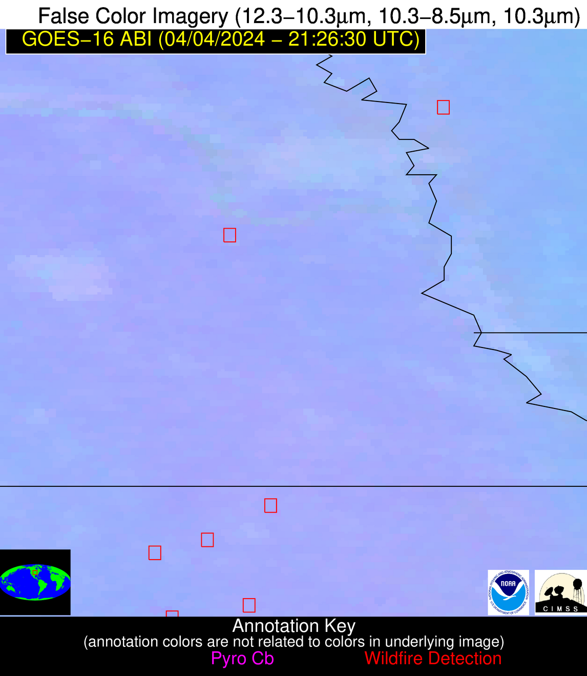
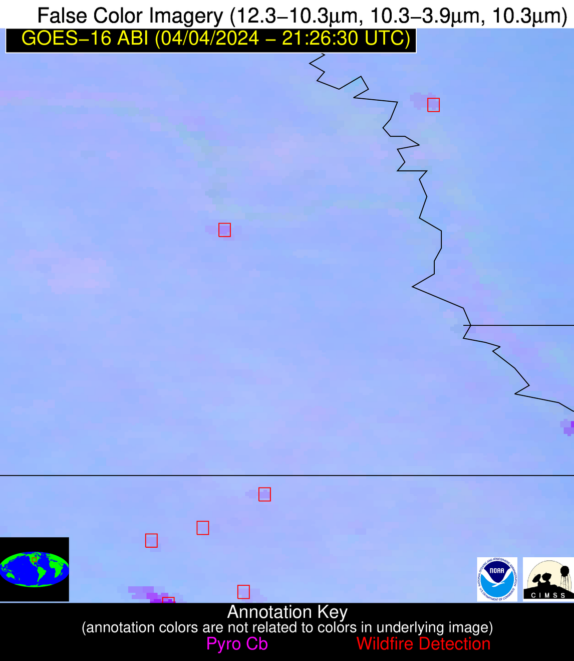
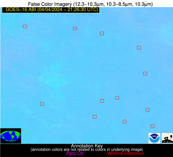
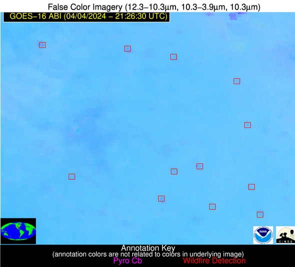
Wildfire Alert Report
| Date: | 2024-04-04 |
|---|---|
| Time: | 21:26:17 |
| Production Date and Time: | 2024-04-04 21:31:35 UTC |
| Primary Instrument: | GOES-16 ABI |
| Wmo Spacecraft Id: | 152 |
| Location/orbit: | GEO |
| L1 File: | OR_ABI-L1b-RadC-M6C14_G16_s20240952126171_e20240952128544_c20240952129029.nc |
| L1 File(s) - Temporal | OR_ABI-L1b-RadC-M6C14_G16_s20240952116171_e20240952118544_c20240952119038.nc |
| Number Of Thermal Anomaly Alerts: | 8 |
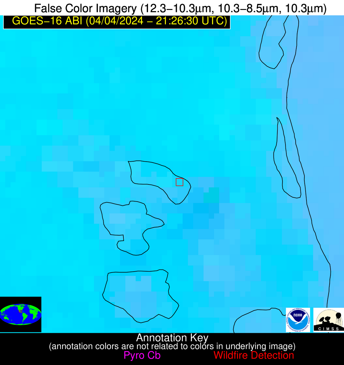
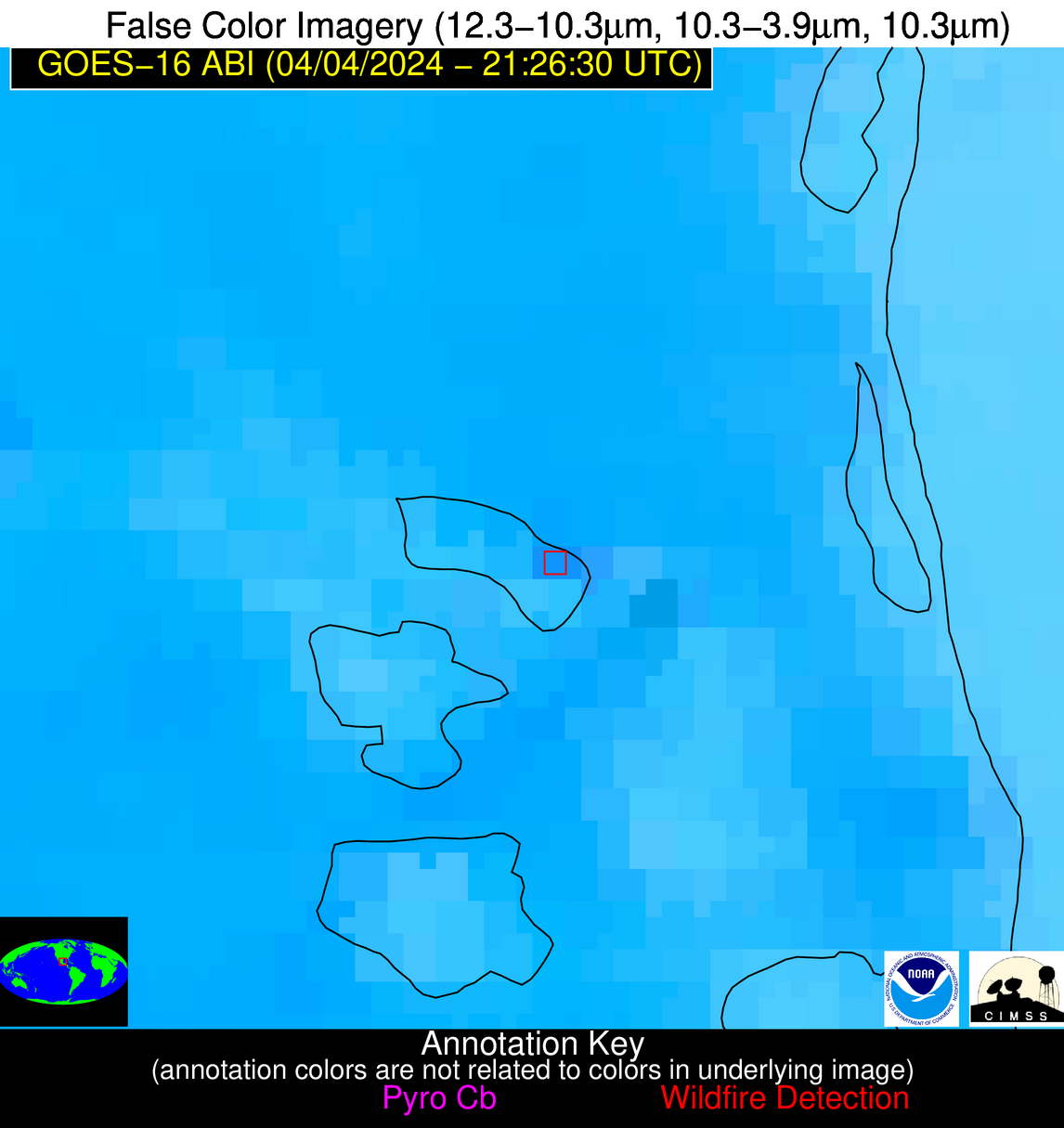
Possible Wildfire
| Basic Information | |
|---|---|
| State/Province(s) | IA |
| Country/Countries | USA |
| County/Locality(s) | Pottawattamie County, IA |
| NWS WFO | Omaha/Valley NE |
| Identification Method | Enhanced Contextual (Clear) |
| Mean Object Date/Time | 2024-04-04 21:26:50UTC |
| Radiative Center (Lat, Lon): | 41.440000°, -95.830000° |
| Nearby Counties (meeting alert criteria): |
|
| Total Radiative Power Anomaly | n/a |
| Total Radiative Power | 21.75 MW |
| Map: | |
| Additional Information | |
| Alert Status | New Feature |
| Type of Event | Nominal Risk |
| Event Priority Ranking | 4 |
| Maximum Observed BT (3.9 um) | 299.92 K |
| Observed - Background BT (3.9 um) | 2.75 K |
| BT Anomaly (3.9 um) | 2.11 K |
| Maximum Observed - Clear RTM BT (3.9 um) | 17.59 K |
| Maximum Observed BTD (3.9-10/11/12 um) | 9.87 K |
| Observed - Background BTD (3.9-10/11/12 um) | 3.55 K |
| BTD Anomaly (3.9-10/11/12 um) | 5.27 K |
| Similar Pixel Count | 8 |
| BT Time Tendency (3.9 um) | 3.20 K |
| Image Interval | 10.00 minutes |
| Fraction of Surrounding LWIR Pixels that are Colder | 0.13 |
| Fraction of Surrounding Red Channel Pixels that are Brighter | 1.00 |
| Maximum Radiative Power | 11.39 MW |
| Maximum Radiative Power Uncertainty | 0.00 MW |
| Total Radiative Power Uncertainty | 0.00 MW |
| Mean Viewing Angle | 52.60° |
| Mean Solar Zenith Angle | 53.70° |
| Mean Glint Angle | 68.50° |
| Water Fraction | 0.00 |
| Total Pixel Area | 15.70 km2 |
| Latest Satellite Imagery: | |
| View all event imagery » | |
Possible Wildfire
| Basic Information | |
|---|---|
| State/Province(s) | KS |
| Country/Countries | USA |
| County/Locality(s) | Marshall County, KS |
| NWS WFO | Topeka KS |
| Identification Method | Enhanced Contextual (Clear) |
| Mean Object Date/Time | 2024-04-04 21:26:50UTC |
| Radiative Center (Lat, Lon): | 39.750000°, -96.480000° |
| Nearby Counties (meeting alert criteria): |
|
| Total Radiative Power Anomaly | n/a |
| Total Radiative Power | 9.86 MW |
| Map: | |
| Additional Information | |
| Alert Status | New Feature |
| Type of Event | Nominal Risk |
| Event Priority Ranking | 4 |
| Maximum Observed BT (3.9 um) | 302.86 K |
| Observed - Background BT (3.9 um) | 3.74 K |
| BT Anomaly (3.9 um) | 3.26 K |
| Maximum Observed - Clear RTM BT (3.9 um) | 19.20 K |
| Maximum Observed BTD (3.9-10/11/12 um) | 8.80 K |
| Observed - Background BTD (3.9-10/11/12 um) | 3.09 K |
| BTD Anomaly (3.9-10/11/12 um) | 3.40 K |
| Similar Pixel Count | 8 |
| BT Time Tendency (3.9 um) | 2.00 K |
| Image Interval | 10.00 minutes |
| Fraction of Surrounding LWIR Pixels that are Colder | 0.86 |
| Fraction of Surrounding Red Channel Pixels that are Brighter | 1.00 |
| Maximum Radiative Power | 9.86 MW |
| Maximum Radiative Power Uncertainty | 0.00 MW |
| Total Radiative Power Uncertainty | 0.00 MW |
| Mean Viewing Angle | 51.20° |
| Mean Solar Zenith Angle | 52.40° |
| Mean Glint Angle | 65.70° |
| Water Fraction | 0.00 |
| Total Pixel Area | 7.60 km2 |
| Latest Satellite Imagery: | |
| View all event imagery » | |
Possible Wildfire
| Basic Information | |
|---|---|
| State/Province(s) | MO |
| Country/Countries | USA |
| County/Locality(s) | Butler County, MO |
| NWS WFO | Paducah KY |
| Identification Method | Enhanced Contextual (Cloud) |
| Mean Object Date/Time | 2024-04-04 21:26:51UTC |
| Radiative Center (Lat, Lon): | 36.590000°, -90.520000° |
| Nearby Counties (meeting alert criteria): |
|
| Total Radiative Power Anomaly | n/a |
| Total Radiative Power | 37.77 MW |
| Map: | |
| Additional Information | |
| Alert Status | New Feature |
| Type of Event | Nominal Risk |
| Event Priority Ranking | 4 |
| Maximum Observed BT (3.9 um) | 309.91 K |
| Observed - Background BT (3.9 um) | 13.14 K |
| BT Anomaly (3.9 um) | 4.09 K |
| Maximum Observed - Clear RTM BT (3.9 um) | 28.17 K |
| Maximum Observed BTD (3.9-10/11/12 um) | 20.74 K |
| Observed - Background BTD (3.9-10/11/12 um) | 12.17 K |
| BTD Anomaly (3.9-10/11/12 um) | 5.31 K |
| Similar Pixel Count | 0 |
| BT Time Tendency (3.9 um) | 10.40 K |
| Image Interval | 10.00 minutes |
| Fraction of Surrounding LWIR Pixels that are Colder | 0.73 |
| Fraction of Surrounding Red Channel Pixels that are Brighter | 0.61 |
| Maximum Radiative Power | 37.77 MW |
| Maximum Radiative Power Uncertainty | 0.00 MW |
| Total Radiative Power Uncertainty | 0.00 MW |
| Mean Viewing Angle | 45.60° |
| Mean Solar Zenith Angle | 55.30° |
| Mean Glint Angle | 64.40° |
| Water Fraction | 0.00 |
| Total Pixel Area | 6.40 km2 |
| Latest Satellite Imagery: | |
| View all event imagery » | |
Possible Wildfire
| Basic Information | |
|---|---|
| State/Province(s) | OK |
| Country/Countries | USA |
| County/Locality(s) | Garfield County, OK |
| NWS WFO | Norman OK |
| Identification Method | Enhanced Contextual (Clear) |
| Mean Object Date/Time | 2024-04-04 21:27:20UTC |
| Radiative Center (Lat, Lon): | 36.190000°, -97.950000° |
| Nearby Counties (meeting alert criteria): |
|
| Total Radiative Power Anomaly | n/a |
| Total Radiative Power | 29.77 MW |
| Map: | |
| Additional Information | |
| Alert Status | New Feature |
| Type of Event | Nominal Risk |
| Event Priority Ranking | 4 |
| Maximum Observed BT (3.9 um) | 302.74 K |
| Observed - Background BT (3.9 um) | 3.85 K |
| BT Anomaly (3.9 um) | 2.96 K |
| Maximum Observed - Clear RTM BT (3.9 um) | 15.24 K |
| Maximum Observed BTD (3.9-10/11/12 um) | 10.39 K |
| Observed - Background BTD (3.9-10/11/12 um) | 4.60 K |
| BTD Anomaly (3.9-10/11/12 um) | 10.65 K |
| Similar Pixel Count | 4 |
| BT Time Tendency (3.9 um) | 3.20 K |
| Image Interval | 10.00 minutes |
| Fraction of Surrounding LWIR Pixels that are Colder | 0.20 |
| Fraction of Surrounding Red Channel Pixels that are Brighter | 1.00 |
| Maximum Radiative Power | 15.77 MW |
| Maximum Radiative Power Uncertainty | 0.00 MW |
| Total Radiative Power Uncertainty | 0.00 MW |
| Mean Viewing Angle | 48.60° |
| Mean Solar Zenith Angle | 49.70° |
| Mean Glint Angle | 59.50° |
| Water Fraction | 0.00 |
| Total Pixel Area | 14.20 km2 |
| Latest Satellite Imagery: | |
| View all event imagery » | |
Possible Wildfire
| Basic Information | |
|---|---|
| State/Province(s) | OK |
| Country/Countries | USA |
| County/Locality(s) | Okfuskee County, OK |
| NWS WFO | Tulsa OK |
| Identification Method | Enhanced Contextual (Clear) |
| Mean Object Date/Time | 2024-04-04 21:27:20UTC |
| Radiative Center (Lat, Lon): | 35.540000°, -96.240000° |
| Nearby Counties (meeting alert criteria): |
|
| Total Radiative Power Anomaly | n/a |
| Total Radiative Power | 10.14 MW |
| Map: | |
| Additional Information | |
| Alert Status | New Feature |
| Type of Event | Nominal Risk |
| Event Priority Ranking | 4 |
| Maximum Observed BT (3.9 um) | 300.67 K |
| Observed - Background BT (3.9 um) | 2.96 K |
| BT Anomaly (3.9 um) | 5.69 K |
| Maximum Observed - Clear RTM BT (3.9 um) | 13.66 K |
| Maximum Observed BTD (3.9-10/11/12 um) | 8.22 K |
| Observed - Background BTD (3.9-10/11/12 um) | 3.23 K |
| BTD Anomaly (3.9-10/11/12 um) | 12.72 K |
| Similar Pixel Count | 3 |
| BT Time Tendency (3.9 um) | 1.10 K |
| Image Interval | 10.00 minutes |
| Fraction of Surrounding LWIR Pixels that are Colder | 0.22 |
| Fraction of Surrounding Red Channel Pixels that are Brighter | 1.00 |
| Maximum Radiative Power | 10.14 MW |
| Maximum Radiative Power Uncertainty | 0.00 MW |
| Total Radiative Power Uncertainty | 0.00 MW |
| Mean Viewing Angle | 47.20° |
| Mean Solar Zenith Angle | 50.70° |
| Mean Glint Angle | 59.30° |
| Water Fraction | 0.00 |
| Total Pixel Area | 6.80 km2 |
| Latest Satellite Imagery: | |
| View all event imagery » | |
Possible Wildfire
| Basic Information | |
|---|---|
| State/Province(s) | OK |
| Country/Countries | USA |
| County/Locality(s) | Seminole County, OK |
| NWS WFO | Norman OK |
| Identification Method | Enhanced Contextual (Clear) |
| Mean Object Date/Time | 2024-04-04 21:27:20UTC |
| Radiative Center (Lat, Lon): | 35.210000°, -96.640000° |
| Nearby Counties (meeting alert criteria): |
|
| Total Radiative Power Anomaly | n/a |
| Total Radiative Power | 18.75 MW |
| Map: | |
| Additional Information | |
| Alert Status | New Feature |
| Type of Event | Nominal Risk |
| Event Priority Ranking | 4 |
| Maximum Observed BT (3.9 um) | 301.69 K |
| Observed - Background BT (3.9 um) | 3.42 K |
| BT Anomaly (3.9 um) | 8.28 K |
| Maximum Observed - Clear RTM BT (3.9 um) | 13.75 K |
| Maximum Observed BTD (3.9-10/11/12 um) | 8.60 K |
| Observed - Background BTD (3.9-10/11/12 um) | 3.46 K |
| BTD Anomaly (3.9-10/11/12 um) | 14.27 K |
| Similar Pixel Count | 5 |
| BT Time Tendency (3.9 um) | 0.70 K |
| Image Interval | 10.00 minutes |
| Fraction of Surrounding LWIR Pixels that are Colder | 0.46 |
| Fraction of Surrounding Red Channel Pixels that are Brighter | 1.00 |
| Maximum Radiative Power | 18.75 MW |
| Maximum Radiative Power Uncertainty | 0.00 MW |
| Total Radiative Power Uncertainty | 0.00 MW |
| Mean Viewing Angle | 47.10° |
| Mean Solar Zenith Angle | 50.20° |
| Mean Glint Angle | 58.50° |
| Water Fraction | 0.00 |
| Total Pixel Area | 13.60 km2 |
| Latest Satellite Imagery: | |
| View all event imagery » | |
Possible Wildfire
| Basic Information | |
|---|---|
| State/Province(s) | OK |
| Country/Countries | USA |
| County/Locality(s) | Hughes County, OK |
| NWS WFO | Norman OK |
| Identification Method | Enhanced Contextual (Clear) |
| Mean Object Date/Time | 2024-04-04 21:27:20UTC |
| Radiative Center (Lat, Lon): | 34.820000°, -96.130000° |
| Nearby Counties (meeting alert criteria): |
|
| Total Radiative Power Anomaly | n/a |
| Total Radiative Power | 14.55 MW |
| Map: | |
| Additional Information | |
| Alert Status | New Feature |
| Type of Event | Nominal Risk |
| Event Priority Ranking | 4 |
| Maximum Observed BT (3.9 um) | 300.84 K |
| Observed - Background BT (3.9 um) | 2.62 K |
| BT Anomaly (3.9 um) | 4.78 K |
| Maximum Observed - Clear RTM BT (3.9 um) | 13.69 K |
| Maximum Observed BTD (3.9-10/11/12 um) | 7.75 K |
| Observed - Background BTD (3.9-10/11/12 um) | 2.85 K |
| BTD Anomaly (3.9-10/11/12 um) | 10.61 K |
| Similar Pixel Count | 7 |
| BT Time Tendency (3.9 um) | 1.90 K |
| Image Interval | 10.00 minutes |
| Fraction of Surrounding LWIR Pixels that are Colder | 0.26 |
| Fraction of Surrounding Red Channel Pixels that are Brighter | 1.00 |
| Maximum Radiative Power | 14.55 MW |
| Maximum Radiative Power Uncertainty | 0.00 MW |
| Total Radiative Power Uncertainty | 0.00 MW |
| Mean Viewing Angle | 46.40° |
| Mean Solar Zenith Angle | 50.50° |
| Mean Glint Angle | 58.20° |
| Water Fraction | 0.00 |
| Total Pixel Area | 13.40 km2 |
| Latest Satellite Imagery: | |
| View all event imagery » | |
Possible Wildfire
| Basic Information | |
|---|---|
| State/Province(s) | Unknown |
| Country/Countries | Mexico |
| County/Locality(s) | Mexico |
| NWS WFO | N/A |
| Identification Method | Enhanced Contextual (Clear) |
| Mean Object Date/Time | 2024-04-04 21:28:19UTC |
| Radiative Center (Lat, Lon): | 22.400000°, -98.020000° |
| Nearby Counties (meeting alert criteria): |
|
| Total Radiative Power Anomaly | n/a |
| Total Radiative Power | 18.42 MW |
| Map: | |
| Additional Information | |
| Alert Status | New Feature |
| Type of Event | Nominal Risk |
| Event Priority Ranking | 4 |
| Maximum Observed BT (3.9 um) | 311.19 K |
| Observed - Background BT (3.9 um) | 4.42 K |
| BT Anomaly (3.9 um) | 1.81 K |
| Maximum Observed - Clear RTM BT (3.9 um) | 8.56 K |
| Maximum Observed BTD (3.9-10/11/12 um) | 14.06 K |
| Observed - Background BTD (3.9-10/11/12 um) | 4.52 K |
| BTD Anomaly (3.9-10/11/12 um) | 2.90 K |
| Similar Pixel Count | 17 |
| BT Time Tendency (3.9 um) | 2.40 K |
| Image Interval | 10.00 minutes |
| Fraction of Surrounding LWIR Pixels that are Colder | 0.38 |
| Fraction of Surrounding Red Channel Pixels that are Brighter | 1.00 |
| Maximum Radiative Power | 18.42 MW |
| Maximum Radiative Power Uncertainty | 0.00 MW |
| Total Radiative Power Uncertainty | 0.00 MW |
| Mean Viewing Angle | 36.90° |
| Mean Solar Zenith Angle | 44.60° |
| Mean Glint Angle | 37.30° |
| Water Fraction | 0.00 |
| Total Pixel Area | 5.50 km2 |
| Latest Satellite Imagery: | |
| View all event imagery » | |
