Wildfire Alert Report
| Date: | 2024-04-01 |
|---|---|
| Time: | 14:56:17 |
| Production Date and Time: | 2024-04-01 15:00:59 UTC |
| Primary Instrument: | GOES-16 ABI |
| Wmo Spacecraft Id: | 152 |
| Location/orbit: | GEO |
| L1 File: | OR_ABI-L1b-RadC-M6C14_G16_s20240921456170_e20240921458543_c20240921459020.nc |
| L1 File(s) - Temporal | OR_ABI-L1b-RadC-M6C14_G16_s20240921451170_e20240921453543_c20240921454028.nc |
| Number Of Thermal Anomaly Alerts: | 5 |
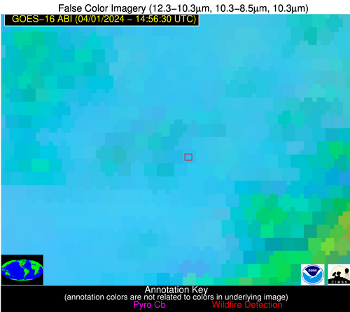
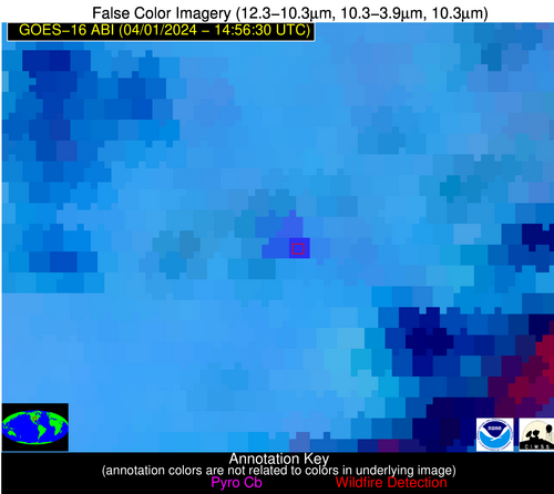
Possible Wildfire
| Basic Information | |
|---|---|
| State/Province(s) | KS |
| Country/Countries | USA |
| County/Locality(s) | Lyon County, KS |
| NWS WFO | Topeka KS |
| Identification Method | Enhanced Contextual (Cloud) |
| Mean Object Date/Time | 2024-04-01 14:56:50UTC |
| Radiative Center (Lat, Lon): | 38.490°, -96.070° |
| Nearby Counties (meeting alert criteria): |
|
| Total Radiative Power Anomaly | n/a |
| Total Radiative Power | 103.36 MW |
| Map: | |
| Additional Information | |
| Alert Status | New Feature |
| Type of Event | Nominal Risk |
| Event Priority Ranking | 4 |
| Maximum Observed BT (3.9 um) | 314.36 K |
| Observed - Background BT (3.9 um) | 16.64 K |
| BT Anomaly (3.9 um) | 17.43 K |
| Maximum Observed - Clear RTM BT (3.9 um) | 22.81 K |
| Maximum Observed BTD (3.9-10/11/12 um) | 27.35 K |
| Observed - Background BTD (3.9-10/11/12 um) | 15.85 K |
| BTD Anomaly (3.9-10/11/12 um) | 16.10 K |
| Similar Pixel Count | 0 |
| BT Time Tendency (3.9 um) | 13.70 K |
| Image Interval | 5.00 minutes |
| Fraction of Surrounding LWIR Pixels that are Colder | 0.85 |
| Fraction of Surrounding Red Channel Pixels that are Brighter | 0.98 |
| Maximum Radiative Power | 103.36 MW |
| Maximum Radiative Power Uncertainty | 0.00 MW |
| Total Radiative Power Uncertainty | 0.00 MW |
| Mean Viewing Angle | 49.90° |
| Mean Solar Zenith Angle | 58.70° |
| Mean Glint Angle | 100.80° |
| Water Fraction | 0.00 |
| Total Pixel Area | 14.60 km2 |
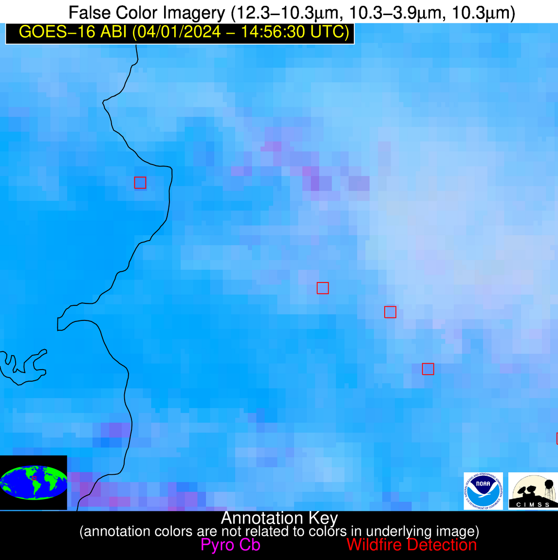
| Latest Satellite Imagery: | |
| View all event imagery » | |
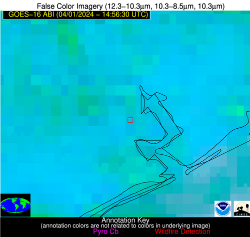
Possible Wildfire
| Basic Information | |
|---|---|
| State/Province(s) | NC |
| Country/Countries | USA |
| County/Locality(s) | Onslow County, NC |
| NWS WFO | Newport/Morehead City NC |
| Identification Method | Enhanced Contextual (Clear) |
| Mean Object Date/Time | 2024-04-01 14:57:22UTC |
| Radiative Center (Lat, Lon): | 34.670°, -77.460° |
| Nearby Counties (meeting alert criteria): |
|
| Total Radiative Power Anomaly | n/a |
| Total Radiative Power | 32.97 MW |
| Map: | |
| Additional Information | |
| Alert Status | New Feature |
| Type of Event | Nominal Risk |
| Event Priority Ranking | 4 |
| Maximum Observed BT (3.9 um) | 307.73 K |
| Observed - Background BT (3.9 um) | 9.02 K |
| BT Anomaly (3.9 um) | 7.62 K |
| Maximum Observed - Clear RTM BT (3.9 um) | 15.24 K |
| Maximum Observed BTD (3.9-10/11/12 um) | 30.71 K |
| Observed - Background BTD (3.9-10/11/12 um) | 8.74 K |
| BTD Anomaly (3.9-10/11/12 um) | 4.31 K |
| Similar Pixel Count | 14 |
| BT Time Tendency (3.9 um) | 3.30 K |
| Image Interval | 5.00 minutes |
| Fraction of Surrounding LWIR Pixels that are Colder | 0.44 |
| Fraction of Surrounding Red Channel Pixels that are Brighter | 0.57 |
| Maximum Radiative Power | 32.97 MW |
| Maximum Radiative Power Uncertainty | 0.00 MW |
| Total Radiative Power Uncertainty | 0.00 MW |
| Mean Viewing Angle | 40.50° |
| Mean Solar Zenith Angle | 43.80° |
| Mean Glint Angle | 74.80° |
| Water Fraction | 0.00 |
| Total Pixel Area | 5.70 km2 |
| Latest Satellite Imagery: | |
| View all event imagery » | |
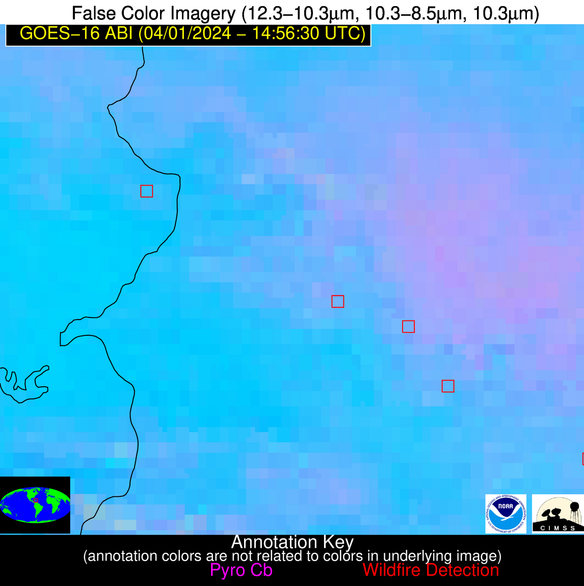
Possible Wildfire
| Basic Information | |
|---|---|
| State/Province(s) | Unknown |
| Country/Countries | Haiti |
| County/Locality(s) | Haiti |
| NWS WFO | N/A |
| Identification Method | Enhanced Contextual (Clear) |
| Mean Object Date/Time | 2024-04-01 14:58:53UTC |
| Radiative Center (Lat, Lon): | 19.200°, -71.690° |
| Nearby Counties (meeting alert criteria): |
|
| Total Radiative Power Anomaly | n/a |
| Total Radiative Power | 15.88 MW |
| Map: | |
| Additional Information | |
| Alert Status | New Feature |
| Type of Event | Nominal Risk |
| Event Priority Ranking | 4 |
| Maximum Observed BT (3.9 um) | 313.55 K |
| Observed - Background BT (3.9 um) | 4.91 K |
| BT Anomaly (3.9 um) | 1.83 K |
| Maximum Observed - Clear RTM BT (3.9 um) | 15.39 K |
| Maximum Observed BTD (3.9-10/11/12 um) | 14.23 K |
| Observed - Background BTD (3.9-10/11/12 um) | 5.27 K |
| BTD Anomaly (3.9-10/11/12 um) | 3.93 K |
| Similar Pixel Count | 25 |
| BT Time Tendency (3.9 um) | 3.50 K |
| Image Interval | 5.00 minutes |
| Fraction of Surrounding LWIR Pixels that are Colder | 0.28 |
| Fraction of Surrounding Red Channel Pixels that are Brighter | 1.00 |
| Maximum Radiative Power | 15.88 MW |
| Maximum Radiative Power Uncertainty | 0.00 MW |
| Total Radiative Power Uncertainty | 0.00 MW |
| Mean Viewing Angle | 23.00° |
| Mean Solar Zenith Angle | 31.50° |
| Mean Glint Angle | 42.50° |
| Water Fraction | 0.00 |
| Total Pixel Area | 4.50 km2 |
| Latest Satellite Imagery: | |
| View all event imagery » | |
Possible Wildfire
| Basic Information | |
|---|---|
| State/Province(s) | Unknown |
| Country/Countries | Dominican Republic |
| County/Locality(s) | Dominican Republic |
| NWS WFO | N/A |
| Identification Method | Enhanced Contextual (Clear) |
| Mean Object Date/Time | 2024-04-01 14:58:53UTC |
| Radiative Center (Lat, Lon): | 18.980°, -71.200° |
| Nearby Counties (meeting alert criteria): |
|
| Total Radiative Power Anomaly | n/a |
| Total Radiative Power | 6.64 MW |
| Map: | |
| Additional Information | |
| Alert Status | New Feature |
| Type of Event | Nominal Risk |
| Event Priority Ranking | 4 |
| Maximum Observed BT (3.9 um) | 304.25 K |
| Observed - Background BT (3.9 um) | 3.57 K |
| BT Anomaly (3.9 um) | 1.23 K |
| Maximum Observed - Clear RTM BT (3.9 um) | 10.46 K |
| Maximum Observed BTD (3.9-10/11/12 um) | 8.78 K |
| Observed - Background BTD (3.9-10/11/12 um) | 3.51 K |
| BTD Anomaly (3.9-10/11/12 um) | 2.45 K |
| Similar Pixel Count | 12 |
| BT Time Tendency (3.9 um) | 0.90 K |
| Image Interval | 5.00 minutes |
| Fraction of Surrounding LWIR Pixels that are Colder | 0.36 |
| Fraction of Surrounding Red Channel Pixels that are Brighter | 1.00 |
| Maximum Radiative Power | 6.64 MW |
| Maximum Radiative Power Uncertainty | 0.00 MW |
| Total Radiative Power Uncertainty | 0.00 MW |
| Mean Viewing Angle | 22.80° |
| Mean Solar Zenith Angle | 31.00° |
| Mean Glint Angle | 41.50° |
| Water Fraction | 0.00 |
| Total Pixel Area | 4.50 km2 |
| Latest Satellite Imagery: | |
| View all event imagery » | |
Possible Wildfire
| Basic Information | |
|---|---|
| State/Province(s) | Unknown |
| Country/Countries | Dominican Republic |
| County/Locality(s) | Dominican Republic |
| NWS WFO | N/A |
| Identification Method | Enhanced Contextual (Clear) |
| Mean Object Date/Time | 2024-04-01 14:58:53UTC |
| Radiative Center (Lat, Lon): | 18.880°, -71.120° |
| Nearby Counties (meeting alert criteria): |
|
| Total Radiative Power Anomaly | n/a |
| Total Radiative Power | 16.25 MW |
| Map: | |
| Additional Information | |
| Alert Status | New Feature |
| Type of Event | Nominal Risk |
| Event Priority Ranking | 4 |
| Maximum Observed BT (3.9 um) | 314.33 K |
| Observed - Background BT (3.9 um) | 3.62 K |
| BT Anomaly (3.9 um) | 1.67 K |
| Maximum Observed - Clear RTM BT (3.9 um) | 14.30 K |
| Maximum Observed BTD (3.9-10/11/12 um) | 12.08 K |
| Observed - Background BTD (3.9-10/11/12 um) | 3.83 K |
| BTD Anomaly (3.9-10/11/12 um) | 3.27 K |
| Similar Pixel Count | 12 |
| BT Time Tendency (3.9 um) | 1.90 K |
| Image Interval | 5.00 minutes |
| Fraction of Surrounding LWIR Pixels that are Colder | 0.62 |
| Fraction of Surrounding Red Channel Pixels that are Brighter | 1.00 |
| Maximum Radiative Power | 16.25 MW |
| Maximum Radiative Power Uncertainty | 0.00 MW |
| Total Radiative Power Uncertainty | 0.00 MW |
| Mean Viewing Angle | 22.70° |
| Mean Solar Zenith Angle | 30.90° |
| Mean Glint Angle | 41.30° |
| Water Fraction | 0.00 |
| Total Pixel Area | 4.50 km2 |
| Latest Satellite Imagery: | |
| View all event imagery » | |
