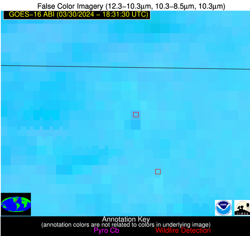
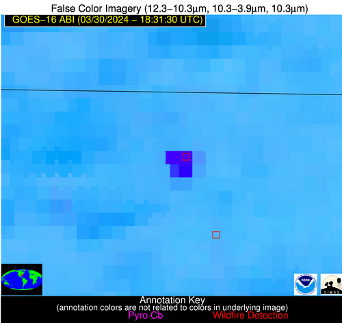
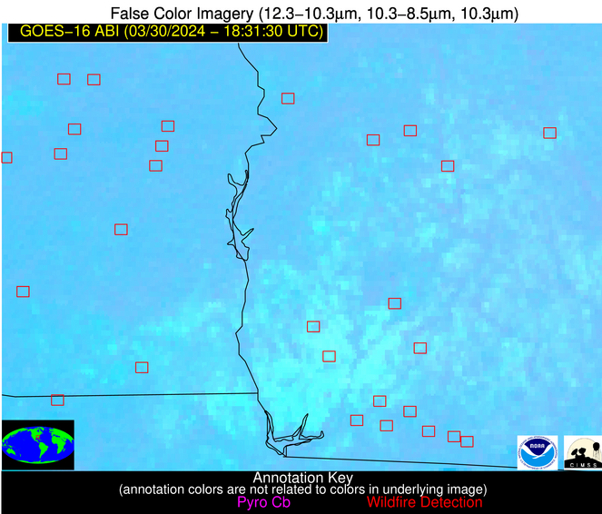
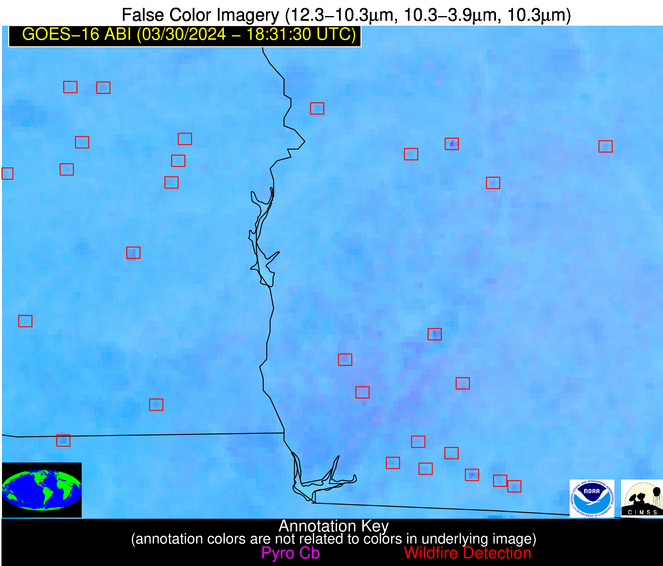
Wildfire Alert Report
| Date: | 2024-03-30 |
|---|---|
| Time: | 18:31:15 |
| Production Date and Time: | 2024-03-30 18:37:29 UTC |
| Primary Instrument: | GOES-16 ABI |
| Wmo Spacecraft Id: | 152 |
| Location/orbit: | GEO |
| L1 File: | OR_ABI-L1b-RadC-M6C14_G16_s20240901831154_e20240901833527_c20240901834008.nc |
| L1 File(s) - Temporal | OR_ABI-L1b-RadC-M6C14_G16_s20240901821154_e20240901823527_c20240901823592.nc |
| Number Of Thermal Anomaly Alerts: | 9 |
Possible Wildfire
| Basic Information | |
|---|---|
| State/Province(s) | IA |
| Country/Countries | USA |
| County/Locality(s) | Fremont County, IA |
| NWS WFO | Omaha/Valley NE |
| Identification Method | Enhanced Contextual (Cloud) |
| Mean Object Date/Time | 2024-03-30 18:31:48UTC |
| Radiative Center (Lat, Lon): | 40.850000°, -95.830000° |
| Nearby Counties (meeting alert criteria): |
|
| Total Radiative Power Anomaly | n/a |
| Total Radiative Power | 49.84 MW |
| Map: | |
| Additional Information | |
| Alert Status | New Feature |
| Type of Event | Nominal Risk |
| Event Priority Ranking | 4 |
| Maximum Observed BT (3.9 um) | 307.27 K |
| Observed - Background BT (3.9 um) | 9.68 K |
| BT Anomaly (3.9 um) | 7.28 K |
| Maximum Observed - Clear RTM BT (3.9 um) | 19.18 K |
| Maximum Observed BTD (3.9-10/11/12 um) | 34.98 K |
| Observed - Background BTD (3.9-10/11/12 um) | 9.90 K |
| BTD Anomaly (3.9-10/11/12 um) | 5.27 K |
| Similar Pixel Count | 0 |
| BT Time Tendency (3.9 um) | 10.50 K |
| Image Interval | 10.00 minutes |
| Fraction of Surrounding LWIR Pixels that are Colder | 0.55 |
| Fraction of Surrounding Red Channel Pixels that are Brighter | 1.00 |
| Maximum Radiative Power | 49.84 MW |
| Maximum Radiative Power Uncertainty | 0.00 MW |
| Total Radiative Power Uncertainty | 0.00 MW |
| Mean Viewing Angle | 52.00° |
| Mean Solar Zenith Angle | 37.10° |
| Mean Glint Angle | 85.10° |
| Water Fraction | 0.00 |
| Total Pixel Area | 7.70 km2 |
| Latest Satellite Imagery: | |
| View all event imagery » | |
Possible Wildfire
| Basic Information | |
|---|---|
| State/Province(s) | KS |
| Country/Countries | USA |
| County/Locality(s) | Chase County, KS |
| NWS WFO | Wichita KS |
| Identification Method | Enhanced Contextual (Clear) |
| Mean Object Date/Time | 2024-03-30 18:31:48UTC |
| Radiative Center (Lat, Lon): | 38.260000°, -96.810000° |
| Nearby Counties (meeting alert criteria): |
|
| Total Radiative Power Anomaly | n/a |
| Total Radiative Power | 29.01 MW |
| Map: | |
| Additional Information | |
| Alert Status | New Feature |
| Type of Event | Nominal Risk |
| Event Priority Ranking | 4 |
| Maximum Observed BT (3.9 um) | 308.76 K |
| Observed - Background BT (3.9 um) | 3.67 K |
| BT Anomaly (3.9 um) | 4.31 K |
| Maximum Observed - Clear RTM BT (3.9 um) | 17.10 K |
| Maximum Observed BTD (3.9-10/11/12 um) | 16.06 K |
| Observed - Background BTD (3.9-10/11/12 um) | 4.21 K |
| BTD Anomaly (3.9-10/11/12 um) | 7.50 K |
| Similar Pixel Count | 25 |
| BT Time Tendency (3.9 um) | 2.10 K |
| Image Interval | 10.00 minutes |
| Fraction of Surrounding LWIR Pixels that are Colder | 0.12 |
| Fraction of Surrounding Red Channel Pixels that are Brighter | 1.00 |
| Maximum Radiative Power | 29.01 MW |
| Maximum Radiative Power Uncertainty | 0.00 MW |
| Total Radiative Power Uncertainty | 0.00 MW |
| Mean Viewing Angle | 50.00° |
| Mean Solar Zenith Angle | 34.50° |
| Mean Glint Angle | 80.60° |
| Water Fraction | 0.00 |
| Total Pixel Area | 14.70 km2 |
| Latest Satellite Imagery: | |
| View all event imagery » | |
Possible Wildfire
| Basic Information | |
|---|---|
| State/Province(s) | VA |
| Country/Countries | USA |
| County/Locality(s) | Botetourt County, VA |
| NWS WFO | Blacksburg VA |
| Identification Method | Enhanced Contextual (Clear) |
| Mean Object Date/Time | 2024-03-30 18:31:50UTC |
| Radiative Center (Lat, Lon): | 37.580000°, -79.610000° |
| Nearby Counties (meeting alert criteria): |
|
| Total Radiative Power Anomaly | n/a |
| Total Radiative Power | 7.06 MW |
| Map: | |
| Additional Information | |
| Alert Status | New Feature |
| Type of Event | Nominal Risk |
| Event Priority Ranking | 4 |
| Maximum Observed BT (3.9 um) | 304.28 K |
| Observed - Background BT (3.9 um) | 2.14 K |
| BT Anomaly (3.9 um) | 2.31 K |
| Maximum Observed - Clear RTM BT (3.9 um) | 14.65 K |
| Maximum Observed BTD (3.9-10/11/12 um) | 10.66 K |
| Observed - Background BTD (3.9-10/11/12 um) | 2.24 K |
| BTD Anomaly (3.9-10/11/12 um) | 7.79 K |
| Similar Pixel Count | 25 |
| BT Time Tendency (3.9 um) | 1.70 K |
| Image Interval | 10.00 minutes |
| Fraction of Surrounding LWIR Pixels that are Colder | 0.42 |
| Fraction of Surrounding Red Channel Pixels that are Brighter | 1.00 |
| Maximum Radiative Power | 7.06 MW |
| Maximum Radiative Power Uncertainty | 0.00 MW |
| Total Radiative Power Uncertainty | 0.00 MW |
| Mean Viewing Angle | 44.00° |
| Mean Solar Zenith Angle | 37.30° |
| Mean Glint Angle | 76.60° |
| Water Fraction | 0.00 |
| Total Pixel Area | 6.10 km2 |
| Latest Satellite Imagery: | |
| View all event imagery » | |
Possible Wildfire
| Basic Information | |
|---|---|
| State/Province(s) | SC |
| Country/Countries | USA |
| County/Locality(s) | Chesterfield County, SC |
| NWS WFO | Columbia SC |
| Identification Method | Enhanced Contextual (Cloud) |
| Mean Object Date/Time | 2024-03-30 18:32:20UTC |
| Radiative Center (Lat, Lon): | 34.690000°, -80.300000° |
| Nearby Counties (meeting alert criteria): |
|
| Total Radiative Power Anomaly | n/a |
| Total Radiative Power | 580.08 MW |
| Map: | |
| Additional Information | |
| Alert Status | New Feature |
| Type of Event | Nominal Risk |
| Event Priority Ranking | 4 |
| Maximum Observed BT (3.9 um) | 344.33 K |
| Observed - Background BT (3.9 um) | 41.18 K |
| BT Anomaly (3.9 um) | 41.62 K |
| Maximum Observed - Clear RTM BT (3.9 um) | 51.58 K |
| Maximum Observed BTD (3.9-10/11/12 um) | 48.09 K |
| Observed - Background BTD (3.9-10/11/12 um) | 40.23 K |
| BTD Anomaly (3.9-10/11/12 um) | 59.57 K |
| Similar Pixel Count | 0 |
| BT Time Tendency (3.9 um) | 39.00 K |
| Image Interval | 10.00 minutes |
| Fraction of Surrounding LWIR Pixels that are Colder | 0.88 |
| Fraction of Surrounding Red Channel Pixels that are Brighter | 1.00 |
| Maximum Radiative Power | 251.21 MW |
| Maximum Radiative Power Uncertainty | 0.00 MW |
| Total Radiative Power Uncertainty | 0.00 MW |
| Mean Viewing Angle | 40.80° |
| Mean Solar Zenith Angle | 34.50° |
| Mean Glint Angle | 70.40° |
| Water Fraction | 0.00 |
| Total Pixel Area | 22.90 km2 |
| Latest Satellite Imagery: | |
| View all event imagery » | |
Possible Wildfire
| Basic Information | |
|---|---|
| State/Province(s) | AL |
| Country/Countries | USA |
| County/Locality(s) | Elmore County, AL |
| NWS WFO | Birmingham AL |
| Identification Method | Enhanced Contextual (Clear) |
| Mean Object Date/Time | 2024-03-30 18:32:19UTC |
| Radiative Center (Lat, Lon): | 32.480000°, -85.870000° |
| Nearby Counties (meeting alert criteria): |
|
| Total Radiative Power Anomaly | n/a |
| Total Radiative Power | 9.90 MW |
| Map: | |
| Additional Information | |
| Alert Status | New Feature |
| Type of Event | Nominal Risk |
| Event Priority Ranking | 4 |
| Maximum Observed BT (3.9 um) | 306.40 K |
| Observed - Background BT (3.9 um) | 4.35 K |
| BT Anomaly (3.9 um) | 4.54 K |
| Maximum Observed - Clear RTM BT (3.9 um) | 12.50 K |
| Maximum Observed BTD (3.9-10/11/12 um) | 9.77 K |
| Observed - Background BTD (3.9-10/11/12 um) | 3.57 K |
| BTD Anomaly (3.9-10/11/12 um) | 7.46 K |
| Similar Pixel Count | 16 |
| BT Time Tendency (3.9 um) | 1.70 K |
| Image Interval | 10.00 minutes |
| Fraction of Surrounding LWIR Pixels that are Colder | 0.87 |
| Fraction of Surrounding Red Channel Pixels that are Brighter | 0.73 |
| Maximum Radiative Power | 9.90 MW |
| Maximum Radiative Power Uncertainty | 0.00 MW |
| Total Radiative Power Uncertainty | 0.00 MW |
| Mean Viewing Angle | 39.70° |
| Mean Solar Zenith Angle | 30.50° |
| Mean Glint Angle | 65.30° |
| Water Fraction | 0.00 |
| Total Pixel Area | 5.70 km2 |
| Latest Satellite Imagery: | |
| View all event imagery » | |
Possible Wildfire
| Basic Information | |
|---|---|
| State/Province(s) | GA |
| Country/Countries | USA |
| County/Locality(s) | Pulaski County, GA |
| NWS WFO | Peachtree City GA |
| Identification Method | Enhanced Contextual (Clear) |
| Mean Object Date/Time | 2024-03-30 18:32:19UTC |
| Radiative Center (Lat, Lon): | 32.230000°, -83.460000° |
| Nearby Counties (meeting alert criteria): |
|
| Total Radiative Power Anomaly | n/a |
| Total Radiative Power | 11.23 MW |
| Map: | |
| Additional Information | |
| Alert Status | New Feature |
| Type of Event | Nominal Risk |
| Event Priority Ranking | 4 |
| Maximum Observed BT (3.9 um) | 305.32 K |
| Observed - Background BT (3.9 um) | 3.20 K |
| BT Anomaly (3.9 um) | 2.28 K |
| Maximum Observed - Clear RTM BT (3.9 um) | 11.42 K |
| Maximum Observed BTD (3.9-10/11/12 um) | 9.61 K |
| Observed - Background BTD (3.9-10/11/12 um) | 3.55 K |
| BTD Anomaly (3.9-10/11/12 um) | 4.63 K |
| Similar Pixel Count | 19 |
| BT Time Tendency (3.9 um) | 1.20 K |
| Image Interval | 10.00 minutes |
| Fraction of Surrounding LWIR Pixels that are Colder | 0.22 |
| Fraction of Surrounding Red Channel Pixels that are Brighter | 1.00 |
| Maximum Radiative Power | 11.23 MW |
| Maximum Radiative Power Uncertainty | 0.00 MW |
| Total Radiative Power Uncertainty | 0.00 MW |
| Mean Viewing Angle | 38.70° |
| Mean Solar Zenith Angle | 31.10° |
| Mean Glint Angle | 64.80° |
| Water Fraction | 0.00 |
| Total Pixel Area | 5.50 km2 |
| Latest Satellite Imagery: | |
| View all event imagery » | |
Possible Wildfire
| Basic Information | |
|---|---|
| State/Province(s) | AL |
| Country/Countries | USA |
| County/Locality(s) | Montgomery County, AL |
| NWS WFO | Birmingham AL |
| Identification Method | Enhanced Contextual (Clear) |
| Mean Object Date/Time | 2024-03-30 18:32:19UTC |
| Radiative Center (Lat, Lon): | 32.130000°, -86.040000° |
| Nearby Counties (meeting alert criteria): |
|
| Total Radiative Power Anomaly | n/a |
| Total Radiative Power | 7.44 MW |
| Map: | |
| Additional Information | |
| Alert Status | New Feature |
| Type of Event | Nominal Risk |
| Event Priority Ranking | 4 |
| Maximum Observed BT (3.9 um) | 305.25 K |
| Observed - Background BT (3.9 um) | 2.82 K |
| BT Anomaly (3.9 um) | 2.57 K |
| Maximum Observed - Clear RTM BT (3.9 um) | 11.32 K |
| Maximum Observed BTD (3.9-10/11/12 um) | 8.58 K |
| Observed - Background BTD (3.9-10/11/12 um) | 2.41 K |
| BTD Anomaly (3.9-10/11/12 um) | 4.93 K |
| Similar Pixel Count | 20 |
| BT Time Tendency (3.9 um) | 1.70 K |
| Image Interval | 10.00 minutes |
| Fraction of Surrounding LWIR Pixels that are Colder | 0.75 |
| Fraction of Surrounding Red Channel Pixels that are Brighter | 1.00 |
| Maximum Radiative Power | 7.44 MW |
| Maximum Radiative Power Uncertainty | 0.00 MW |
| Total Radiative Power Uncertainty | 0.00 MW |
| Mean Viewing Angle | 39.40° |
| Mean Solar Zenith Angle | 30.10° |
| Mean Glint Angle | 64.50° |
| Water Fraction | 0.00 |
| Total Pixel Area | 5.60 km2 |
| Latest Satellite Imagery: | |
| View all event imagery » | |
Possible Wildfire
| Basic Information | |
|---|---|
| State/Province(s) | GA |
| Country/Countries | USA |
| County/Locality(s) | Decatur County, GA |
| NWS WFO | Tallahassee FL |
| Identification Method | Enhanced Contextual (Clear) |
| Mean Object Date/Time | 2024-03-30 18:32:19UTC |
| Radiative Center (Lat, Lon): | 30.870000°, -84.480000° |
| Nearby Counties (meeting alert criteria): |
|
| Total Radiative Power Anomaly | n/a |
| Total Radiative Power | 10.84 MW |
| Map: | |
| Additional Information | |
| Alert Status | New Feature |
| Type of Event | Nominal Risk |
| Event Priority Ranking | 4 |
| Maximum Observed BT (3.9 um) | 308.25 K |
| Observed - Background BT (3.9 um) | 4.24 K |
| BT Anomaly (3.9 um) | 2.00 K |
| Maximum Observed - Clear RTM BT (3.9 um) | 13.13 K |
| Maximum Observed BTD (3.9-10/11/12 um) | 11.06 K |
| Observed - Background BTD (3.9-10/11/12 um) | 3.85 K |
| BTD Anomaly (3.9-10/11/12 um) | 3.41 K |
| Similar Pixel Count | 12 |
| BT Time Tendency (3.9 um) | 1.40 K |
| Image Interval | 10.00 minutes |
| Fraction of Surrounding LWIR Pixels that are Colder | 0.62 |
| Fraction of Surrounding Red Channel Pixels that are Brighter | 1.00 |
| Maximum Radiative Power | 10.84 MW |
| Maximum Radiative Power Uncertainty | 0.00 MW |
| Total Radiative Power Uncertainty | 0.00 MW |
| Mean Viewing Angle | 37.50° |
| Mean Solar Zenith Angle | 29.50° |
| Mean Glint Angle | 61.90° |
| Water Fraction | 0.00 |
| Total Pixel Area | 5.40 km2 |
| Latest Satellite Imagery: | |
| View all event imagery » | |
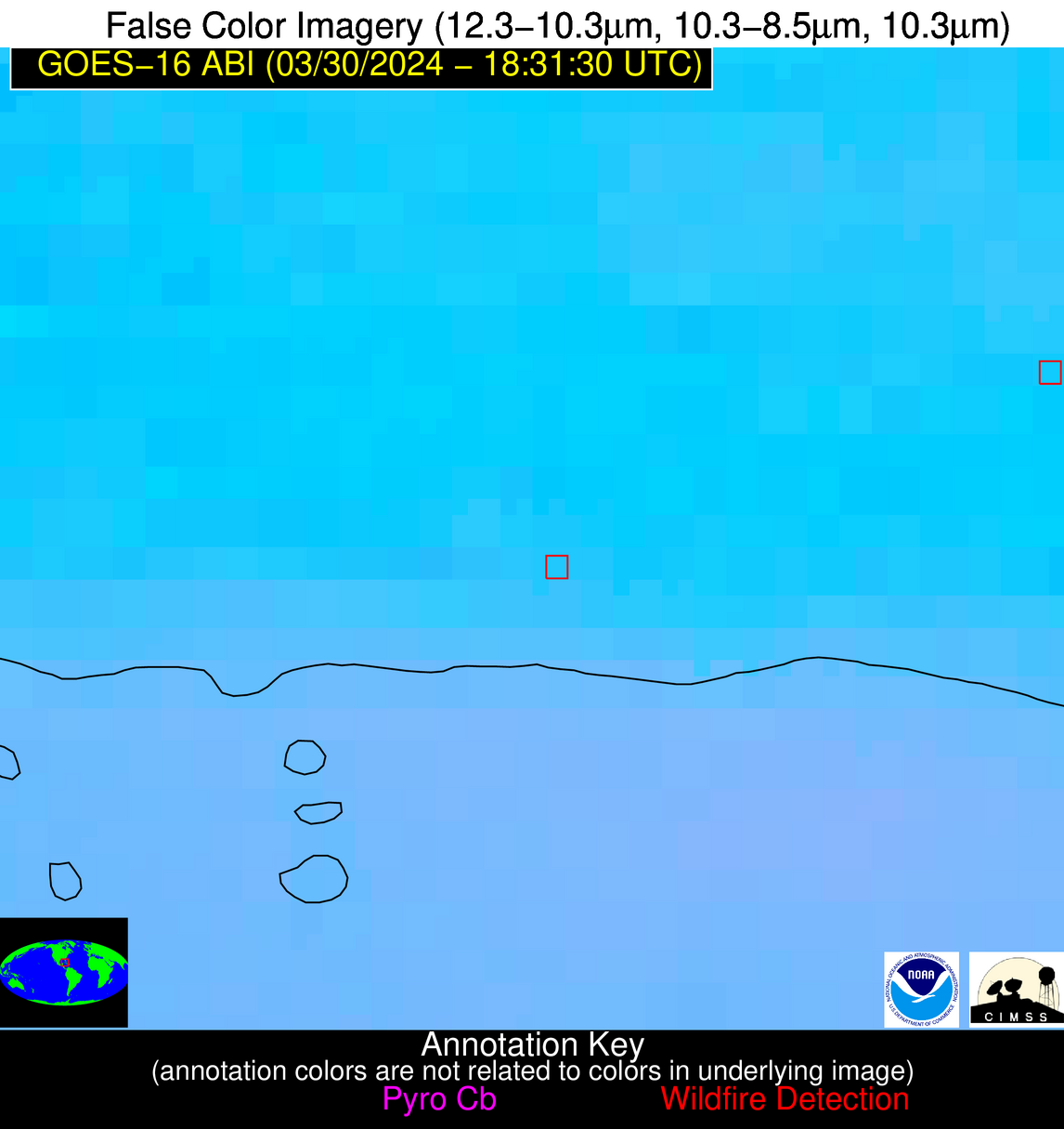
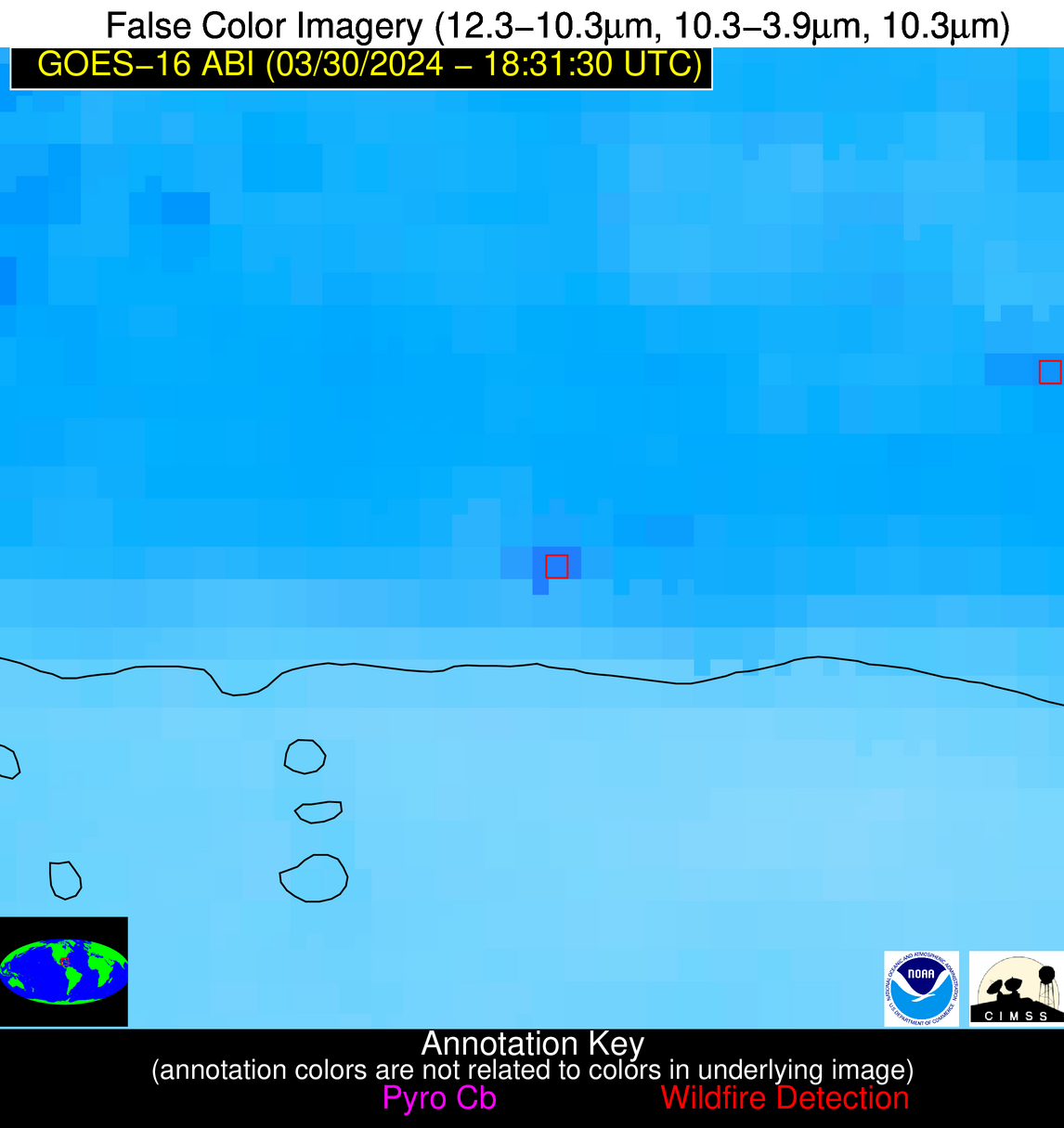
Possible Wildfire
| Basic Information | |
|---|---|
| State/Province(s) | Unknown |
| Country/Countries | Cuba |
| County/Locality(s) | Cuba |
| NWS WFO | N/A |
| Identification Method | Enhanced Contextual (Clear) |
| Mean Object Date/Time | 2024-03-30 18:33:19UTC |
| Radiative Center (Lat, Lon): | 22.740000°, -82.400000° |
| Nearby Counties (meeting alert criteria): |
|
| Total Radiative Power Anomaly | n/a |
| Total Radiative Power | 25.86 MW |
| Map: | |
| Additional Information | |
| Alert Status | New Feature |
| Type of Event | Nominal Risk |
| Event Priority Ranking | 4 |
| Maximum Observed BT (3.9 um) | 316.28 K |
| Observed - Background BT (3.9 um) | 5.11 K |
| BT Anomaly (3.9 um) | 2.33 K |
| Maximum Observed - Clear RTM BT (3.9 um) | 10.84 K |
| Maximum Observed BTD (3.9-10/11/12 um) | 16.57 K |
| Observed - Background BTD (3.9-10/11/12 um) | 6.22 K |
| BTD Anomaly (3.9-10/11/12 um) | 4.98 K |
| Similar Pixel Count | 7 |
| BT Time Tendency (3.9 um) | 4.10 K |
| Image Interval | 10.00 minutes |
| Fraction of Surrounding LWIR Pixels that are Colder | 0.50 |
| Fraction of Surrounding Red Channel Pixels that are Brighter | 1.00 |
| Maximum Radiative Power | 25.86 MW |
| Maximum Radiative Power Uncertainty | 0.00 MW |
| Total Radiative Power Uncertainty | 0.00 MW |
| Mean Viewing Angle | 28.00° |
| Mean Solar Zenith Angle | 23.50° |
| Mean Glint Angle | 45.10° |
| Water Fraction | 0.00 |
| Total Pixel Area | 4.70 km2 |
| Latest Satellite Imagery: | |
| View all event imagery » | |
