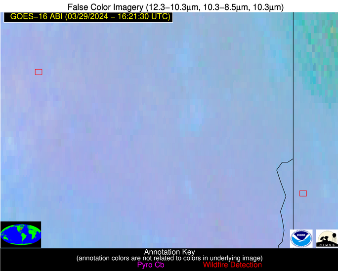
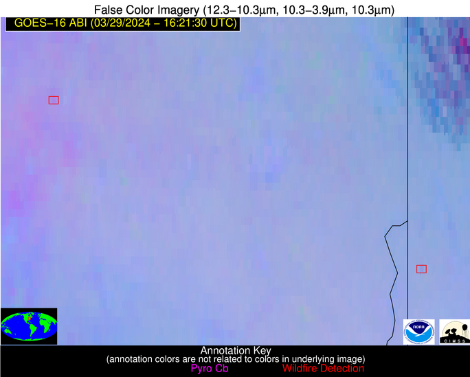
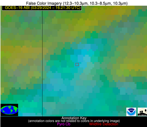
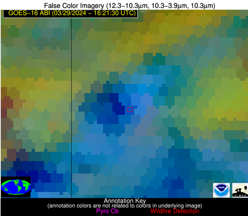
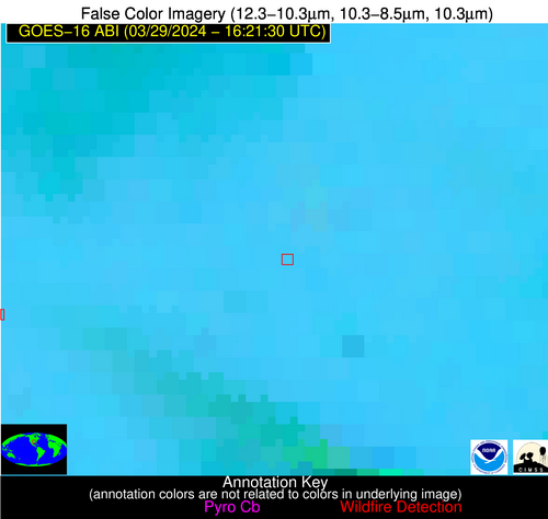
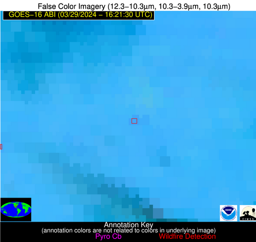
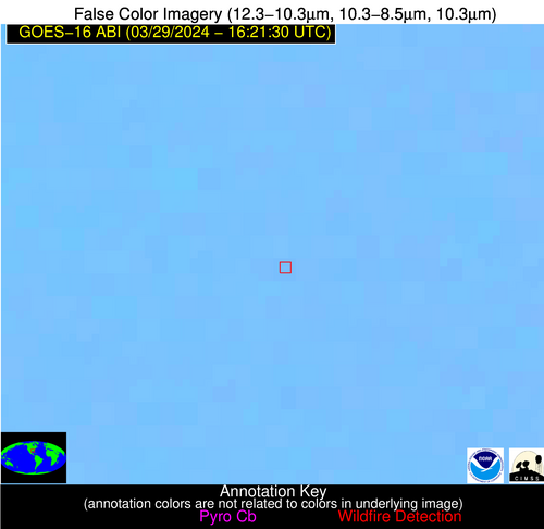
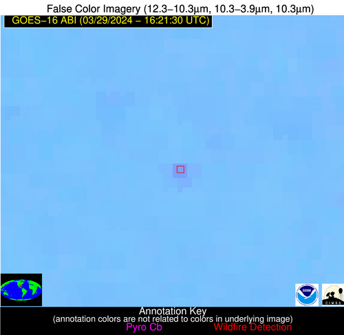
Wildfire Alert Report
| Date: | 2024-03-29 |
|---|---|
| Time: | 16:21:15 |
| Production Date and Time: | 2024-03-29 16:25:53 UTC |
| Primary Instrument: | GOES-16 ABI |
| Wmo Spacecraft Id: | 152 |
| Location/orbit: | GEO |
| L1 File: | OR_ABI-L1b-RadC-M6C14_G16_s20240891621154_e20240891623526_c20240891624016.nc |
| L1 File(s) - Temporal | OR_ABI-L1b-RadC-M6C14_G16_s20240891616154_e20240891618526_c20240891619015.nc |
| Number Of Thermal Anomaly Alerts: | 9 |
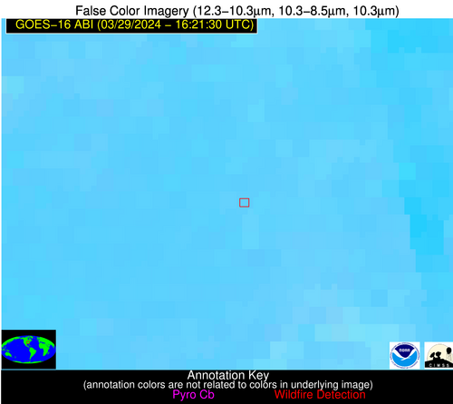
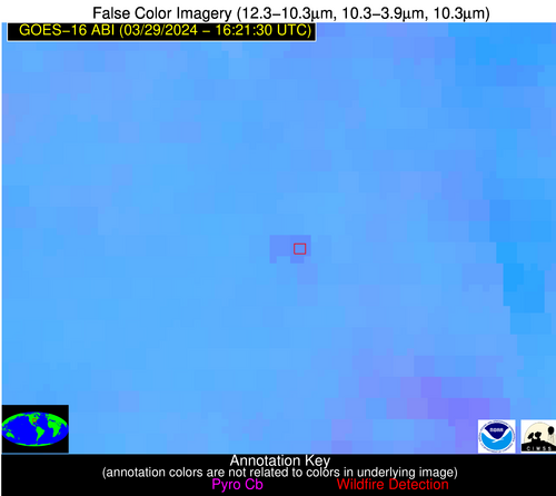
Possible Wildfire
| Basic Information | |
|---|---|
| State/Province(s) | OH |
| Country/Countries | USA |
| County/Locality(s) | Seneca County, OH |
| NWS WFO | Cleveland OH |
| Identification Method | Enhanced Contextual (Clear) |
| Mean Object Date/Time | 2024-03-29 16:21:50UTC |
| Radiative Center (Lat, Lon): | 41.010000°, -82.830000° |
| Nearby Counties (meeting alert criteria): |
|
| Total Radiative Power Anomaly | n/a |
| Total Radiative Power | 6.36 MW |
| Map: | |
| Additional Information | |
| Alert Status | New Feature |
| Type of Event | Nominal Risk |
| Event Priority Ranking | 4 |
| Maximum Observed BT (3.9 um) | 300.05 K |
| Observed - Background BT (3.9 um) | 2.29 K |
| BT Anomaly (3.9 um) | 2.02 K |
| Maximum Observed - Clear RTM BT (3.9 um) | 19.46 K |
| Maximum Observed BTD (3.9-10/11/12 um) | 12.51 K |
| Observed - Background BTD (3.9-10/11/12 um) | 2.31 K |
| BTD Anomaly (3.9-10/11/12 um) | 3.02 K |
| Similar Pixel Count | 25 |
| BT Time Tendency (3.9 um) | 2.50 K |
| Image Interval | 5.00 minutes |
| Fraction of Surrounding LWIR Pixels that are Colder | 0.47 |
| Fraction of Surrounding Red Channel Pixels that are Brighter | 1.00 |
| Maximum Radiative Power | 6.36 MW |
| Maximum Radiative Power Uncertainty | 0.00 MW |
| Total Radiative Power Uncertainty | 0.00 MW |
| Mean Viewing Angle | 48.30° |
| Mean Solar Zenith Angle | 41.30° |
| Mean Glint Angle | 88.20° |
| Water Fraction | 0.00 |
| Total Pixel Area | 6.70 km2 |
| Latest Satellite Imagery: | |
| View all event imagery » | |
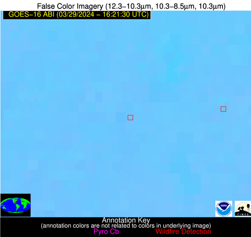
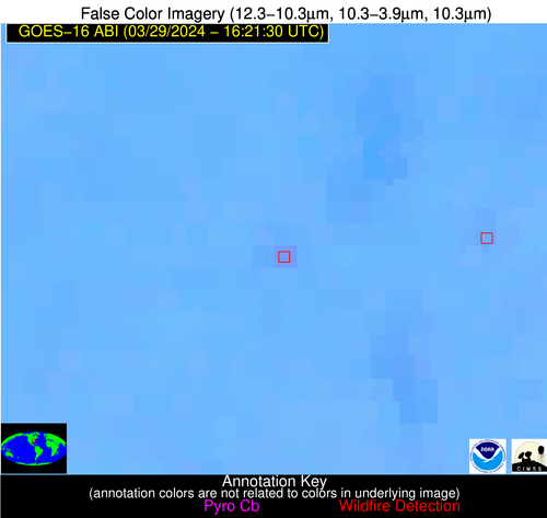
Possible Wildfire
| Basic Information | |
|---|---|
| State/Province(s) | PA |
| Country/Countries | USA |
| County/Locality(s) | Beaver County, PA |
| NWS WFO | Pittsburgh PA |
| Identification Method | Enhanced Contextual (Clear) |
| Mean Object Date/Time | 2024-03-29 16:21:50UTC |
| Radiative Center (Lat, Lon): | 40.480000°, -80.430000° |
| Nearby Counties (meeting alert criteria): |
|
| Total Radiative Power Anomaly | n/a |
| Total Radiative Power | 5.06 MW |
| Map: | |
| Additional Information | |
| Alert Status | New Feature |
| Type of Event | Nominal Risk |
| Event Priority Ranking | 4 |
| Maximum Observed BT (3.9 um) | 295.68 K |
| Observed - Background BT (3.9 um) | 1.47 K |
| BT Anomaly (3.9 um) | 2.81 K |
| Maximum Observed - Clear RTM BT (3.9 um) | 17.23 K |
| Maximum Observed BTD (3.9-10/11/12 um) | 10.31 K |
| Observed - Background BTD (3.9-10/11/12 um) | 2.23 K |
| BTD Anomaly (3.9-10/11/12 um) | 5.67 K |
| Similar Pixel Count | 25 |
| BT Time Tendency (3.9 um) | 1.90 K |
| Image Interval | 5.00 minutes |
| Fraction of Surrounding LWIR Pixels that are Colder | 0.14 |
| Fraction of Surrounding Red Channel Pixels that are Brighter | 1.00 |
| Maximum Radiative Power | 5.06 MW |
| Maximum Radiative Power Uncertainty | 0.00 MW |
| Total Radiative Power Uncertainty | 0.00 MW |
| Mean Viewing Angle | 47.30° |
| Mean Solar Zenith Angle | 39.90° |
| Mean Glint Angle | 86.00° |
| Water Fraction | 0.00 |
| Total Pixel Area | 6.50 km2 |
| Latest Satellite Imagery: | |
| View all event imagery » | |
Possible Wildfire
| Basic Information | |
|---|---|
| State/Province(s) | NE |
| Country/Countries | USA |
| County/Locality(s) | Chase County, NE |
| NWS WFO | North Platte NE |
| Identification Method | Enhanced Contextual (Cloud) |
| Mean Object Date/Time | 2024-03-29 16:21:48UTC |
| Radiative Center (Lat, Lon): | 40.640000°, -101.890000° |
| Nearby Counties (meeting alert criteria): |
|
| Total Radiative Power Anomaly | n/a |
| Total Radiative Power | 27.76 MW |
| Map: | |
| Additional Information | |
| Alert Status | New Feature |
| Type of Event | Nominal Risk |
| Event Priority Ranking | 4 |
| Maximum Observed BT (3.9 um) | 299.96 K |
| Observed - Background BT (3.9 um) | 7.70 K |
| BT Anomaly (3.9 um) | 9.82 K |
| Maximum Observed - Clear RTM BT (3.9 um) | 14.88 K |
| Maximum Observed BTD (3.9-10/11/12 um) | 23.69 K |
| Observed - Background BTD (3.9-10/11/12 um) | 7.11 K |
| BTD Anomaly (3.9-10/11/12 um) | 7.89 K |
| Similar Pixel Count | 0 |
| BT Time Tendency (3.9 um) | 4.30 K |
| Image Interval | 5.00 minutes |
| Fraction of Surrounding LWIR Pixels that are Colder | 0.98 |
| Fraction of Surrounding Red Channel Pixels that are Brighter | 0.57 |
| Maximum Radiative Power | 27.76 MW |
| Maximum Radiative Power Uncertainty | 0.00 MW |
| Total Radiative Power Uncertainty | 0.00 MW |
| Mean Viewing Angle | 54.70° |
| Mean Solar Zenith Angle | 50.40° |
| Mean Glint Angle | 103.90° |
| Water Fraction | 0.00 |
| Total Pixel Area | 8.60 km2 |
| Latest Satellite Imagery: | |
| View all event imagery » | |
Possible Wildfire
| Basic Information | |
|---|---|
| State/Province(s) | IL |
| Country/Countries | USA |
| County/Locality(s) | Wayne County, IL |
| NWS WFO | Paducah KY |
| Identification Method | Enhanced Contextual (Clear) |
| Mean Object Date/Time | 2024-03-29 16:21:49UTC |
| Radiative Center (Lat, Lon): | 38.480000°, -88.650000° |
| Nearby Counties (meeting alert criteria): |
|
| Total Radiative Power Anomaly | n/a |
| Total Radiative Power | 19.58 MW |
| Map: | |
| Additional Information | |
| Alert Status | New Feature |
| Type of Event | Nominal Risk |
| Event Priority Ranking | 4 |
| Maximum Observed BT (3.9 um) | 304.72 K |
| Observed - Background BT (3.9 um) | 3.88 K |
| BT Anomaly (3.9 um) | 4.50 K |
| Maximum Observed - Clear RTM BT (3.9 um) | 17.81 K |
| Maximum Observed BTD (3.9-10/11/12 um) | 12.78 K |
| Observed - Background BTD (3.9-10/11/12 um) | 3.62 K |
| BTD Anomaly (3.9-10/11/12 um) | 3.45 K |
| Similar Pixel Count | 17 |
| BT Time Tendency (3.9 um) | 1.30 K |
| Image Interval | 5.00 minutes |
| Fraction of Surrounding LWIR Pixels that are Colder | 0.63 |
| Fraction of Surrounding Red Channel Pixels that are Brighter | 1.00 |
| Maximum Radiative Power | 19.58 MW |
| Maximum Radiative Power Uncertainty | 0.00 MW |
| Total Radiative Power Uncertainty | 0.00 MW |
| Mean Viewing Angle | 47.00° |
| Mean Solar Zenith Angle | 41.60° |
| Mean Glint Angle | 87.30° |
| Water Fraction | 0.00 |
| Total Pixel Area | 13.20 km2 |
| Latest Satellite Imagery: | |
| View all event imagery » | |
Possible Wildfire
| Basic Information | |
|---|---|
| State/Province(s) | GA |
| Country/Countries | USA |
| County/Locality(s) | Walker County, GA |
| NWS WFO | Peachtree City GA |
| Identification Method | Enhanced Contextual (Clear) |
| Mean Object Date/Time | 2024-03-29 16:22:19UTC |
| Radiative Center (Lat, Lon): | 34.610000°, -85.070000° |
| Nearby Counties (meeting alert criteria): |
|
| Total Radiative Power Anomaly | n/a |
| Total Radiative Power | 10.55 MW |
| Map: | |
| Additional Information | |
| Alert Status | New Feature |
| Type of Event | Nominal Risk |
| Event Priority Ranking | 4 |
| Maximum Observed BT (3.9 um) | 303.91 K |
| Observed - Background BT (3.9 um) | 3.21 K |
| BT Anomaly (3.9 um) | 2.98 K |
| Maximum Observed - Clear RTM BT (3.9 um) | 18.65 K |
| Maximum Observed BTD (3.9-10/11/12 um) | 10.61 K |
| Observed - Background BTD (3.9-10/11/12 um) | 3.25 K |
| BTD Anomaly (3.9-10/11/12 um) | 4.81 K |
| Similar Pixel Count | 20 |
| BT Time Tendency (3.9 um) | 2.30 K |
| Image Interval | 5.00 minutes |
| Fraction of Surrounding LWIR Pixels that are Colder | 0.45 |
| Fraction of Surrounding Red Channel Pixels that are Brighter | 1.00 |
| Maximum Radiative Power | 10.55 MW |
| Maximum Radiative Power Uncertainty | 0.00 MW |
| Total Radiative Power Uncertainty | 0.00 MW |
| Mean Viewing Angle | 41.80° |
| Mean Solar Zenith Angle | 36.80° |
| Mean Glint Angle | 77.20° |
| Water Fraction | 0.00 |
| Total Pixel Area | 5.90 km2 |
| Latest Satellite Imagery: | |
| View all event imagery » | |
Possible Wildfire
| Basic Information | |
|---|---|
| State/Province(s) | AR |
| Country/Countries | USA |
| County/Locality(s) | Pike County, AR |
| NWS WFO | Little Rock AR |
| Identification Method | Enhanced Contextual (Clear) |
| Mean Object Date/Time | 2024-03-29 16:22:18UTC |
| Radiative Center (Lat, Lon): | 34.120000°, -93.760000° |
| Nearby Counties (meeting alert criteria): |
|
| Total Radiative Power Anomaly | n/a |
| Total Radiative Power | 5.86 MW |
| Map: | |
| Additional Information | |
| Alert Status | New Feature |
| Type of Event | Nominal Risk |
| Event Priority Ranking | 4 |
| Maximum Observed BT (3.9 um) | 299.28 K |
| Observed - Background BT (3.9 um) | 2.39 K |
| BT Anomaly (3.9 um) | 4.40 K |
| Maximum Observed - Clear RTM BT (3.9 um) | 11.23 K |
| Maximum Observed BTD (3.9-10/11/12 um) | 10.30 K |
| Observed - Background BTD (3.9-10/11/12 um) | 1.93 K |
| BTD Anomaly (3.9-10/11/12 um) | 3.52 K |
| Similar Pixel Count | 24 |
| BT Time Tendency (3.9 um) | 1.60 K |
| Image Interval | 5.00 minutes |
| Fraction of Surrounding LWIR Pixels that are Colder | 0.79 |
| Fraction of Surrounding Red Channel Pixels that are Brighter | 1.00 |
| Maximum Radiative Power | 5.86 MW |
| Maximum Radiative Power Uncertainty | 0.00 MW |
| Total Radiative Power Uncertainty | 0.00 MW |
| Mean Viewing Angle | 44.60° |
| Mean Solar Zenith Angle | 41.30° |
| Mean Glint Angle | 84.60° |
| Water Fraction | 0.00 |
| Total Pixel Area | 6.40 km2 |
| Latest Satellite Imagery: | |
| View all event imagery » | |
Possible Wildfire
| Basic Information | |
|---|---|
| State/Province(s) | MS |
| Country/Countries | USA |
| County/Locality(s) | Scott County, MS |
| NWS WFO | Jackson MS |
| Identification Method | Enhanced Contextual (Clear) |
| Mean Object Date/Time | 2024-03-29 16:22:19UTC |
| Radiative Center (Lat, Lon): | 32.250000°, -89.360000° |
| Nearby Counties (meeting alert criteria): |
|
| Total Radiative Power Anomaly | n/a |
| Total Radiative Power | 12.37 MW |
| Map: | |
| Additional Information | |
| Alert Status | New Feature |
| Type of Event | Nominal Risk, Known Incident: BIENVILLE COMP 87 88 RX (LOW, tdiff=0.15681 days, POINT) |
| Event Priority Ranking | 4 |
| Maximum Observed BT (3.9 um) | 301.81 K |
| Observed - Background BT (3.9 um) | 4.22 K |
| BT Anomaly (3.9 um) | 6.65 K |
| Maximum Observed - Clear RTM BT (3.9 um) | 13.68 K |
| Maximum Observed BTD (3.9-10/11/12 um) | 9.71 K |
| Observed - Background BTD (3.9-10/11/12 um) | 4.41 K |
| BTD Anomaly (3.9-10/11/12 um) | 13.32 K |
| Similar Pixel Count | 2 |
| BT Time Tendency (3.9 um) | 2.40 K |
| Image Interval | 5.00 minutes |
| Fraction of Surrounding LWIR Pixels that are Colder | 0.35 |
| Fraction of Surrounding Red Channel Pixels that are Brighter | 1.00 |
| Maximum Radiative Power | 12.37 MW |
| Maximum Radiative Power Uncertainty | 0.00 MW |
| Total Radiative Power Uncertainty | 0.00 MW |
| Mean Viewing Angle | 40.70° |
| Mean Solar Zenith Angle | 37.30° |
| Mean Glint Angle | 76.80° |
| Water Fraction | 0.00 |
| Total Pixel Area | 5.80 km2 |
| Latest Satellite Imagery: | |
| View all event imagery » | |
Possible Wildfire
| Basic Information | |
|---|---|
| State/Province(s) | AL |
| Country/Countries | USA |
| County/Locality(s) | Butler County, AL |
| NWS WFO | Mobile AL |
| Identification Method | Enhanced Contextual (Clear) |
| Mean Object Date/Time | 2024-03-29 16:22:19UTC |
| Radiative Center (Lat, Lon): | 31.580000°, -86.750000° |
| Nearby Counties (meeting alert criteria): |
|
| Total Radiative Power Anomaly | n/a |
| Total Radiative Power | 9.06 MW |
| Map: | |
| Additional Information | |
| Alert Status | New Feature |
| Type of Event | Nominal Risk |
| Event Priority Ranking | 4 |
| Maximum Observed BT (3.9 um) | 301.28 K |
| Observed - Background BT (3.9 um) | 2.25 K |
| BT Anomaly (3.9 um) | 2.55 K |
| Maximum Observed - Clear RTM BT (3.9 um) | 10.52 K |
| Maximum Observed BTD (3.9-10/11/12 um) | 8.14 K |
| Observed - Background BTD (3.9-10/11/12 um) | 3.10 K |
| BTD Anomaly (3.9-10/11/12 um) | 9.30 K |
| Similar Pixel Count | 5 |
| BT Time Tendency (3.9 um) | 2.20 K |
| Image Interval | 5.00 minutes |
| Fraction of Surrounding LWIR Pixels that are Colder | 0.06 |
| Fraction of Surrounding Red Channel Pixels that are Brighter | 1.00 |
| Maximum Radiative Power | 9.06 MW |
| Maximum Radiative Power Uncertainty | 0.00 MW |
| Total Radiative Power Uncertainty | 0.00 MW |
| Mean Viewing Angle | 39.00° |
| Mean Solar Zenith Angle | 35.30° |
| Mean Glint Angle | 73.00° |
| Water Fraction | 0.00 |
| Total Pixel Area | 5.60 km2 |
| Latest Satellite Imagery: | |
| View all event imagery » | |
Possible Wildfire
| Basic Information | |
|---|---|
| State/Province(s) | FL |
| Country/Countries | USA |
| County/Locality(s) | Washington County, FL |
| NWS WFO | Tallahassee FL |
| Identification Method | Enhanced Contextual (Clear) |
| Mean Object Date/Time | 2024-03-29 16:22:19UTC |
| Radiative Center (Lat, Lon): | 30.680000°, -85.600000° |
| Nearby Counties (meeting alert criteria): |
|
| Total Radiative Power Anomaly | n/a |
| Total Radiative Power | 18.09 MW |
| Map: | |
| Additional Information | |
| Alert Status | New Feature |
| Type of Event | Nominal Risk |
| Event Priority Ranking | 4 |
| Maximum Observed BT (3.9 um) | 303.80 K |
| Observed - Background BT (3.9 um) | 3.31 K |
| BT Anomaly (3.9 um) | 2.68 K |
| Maximum Observed - Clear RTM BT (3.9 um) | 13.38 K |
| Maximum Observed BTD (3.9-10/11/12 um) | 8.78 K |
| Observed - Background BTD (3.9-10/11/12 um) | 3.31 K |
| BTD Anomaly (3.9-10/11/12 um) | 6.60 K |
| Similar Pixel Count | 4 |
| BT Time Tendency (3.9 um) | 1.20 K |
| Image Interval | 5.00 minutes |
| Fraction of Surrounding LWIR Pixels that are Colder | 0.55 |
| Fraction of Surrounding Red Channel Pixels that are Brighter | 1.00 |
| Maximum Radiative Power | 9.89 MW |
| Maximum Radiative Power Uncertainty | 0.00 MW |
| Total Radiative Power Uncertainty | 0.00 MW |
| Mean Viewing Angle | 37.70° |
| Mean Solar Zenith Angle | 34.00° |
| Mean Glint Angle | 70.30° |
| Water Fraction | 0.00 |
| Total Pixel Area | 10.90 km2 |
| Latest Satellite Imagery: | |
| View all event imagery » | |
