Wildfire Alert Report
| Date: | 2024-03-28 |
|---|---|
| Time: | 19:51:15 |
| Production Date and Time: | 2024-03-28 19:58:00 UTC |
| Primary Instrument: | GOES-16 ABI |
| Wmo Spacecraft Id: | 152 |
| Location/orbit: | GEO |
| L1 File: | OR_ABI-L1b-RadC-M6C14_G16_s20240881951153_e20240881953526_c20240881953586.nc |
| L1 File(s) - Temporal | OR_ABI-L1b-RadC-M6C14_G16_s20240881946153_e20240881948526_c20240881949018.nc |
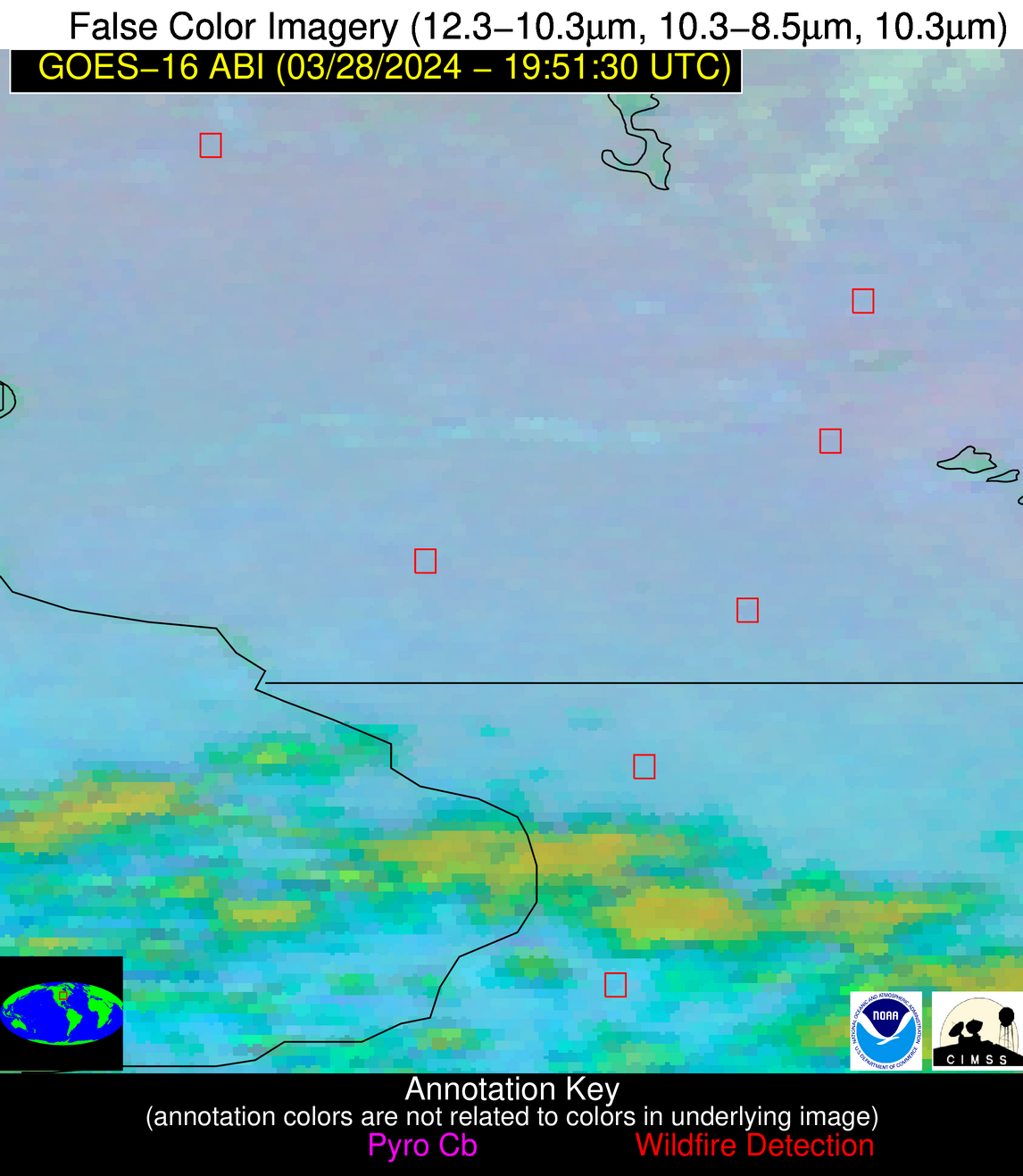
| Number Of Thermal Anomaly Alerts: | 7 |
Possible Wildfire
| Basic Information | |
|---|---|
| State/Province(s) | WI |
| Country/Countries | USA |
| County/Locality(s) | Monroe County, WI |
| NWS WFO | La Crosse WI |
| Identification Method | Enhanced Contextual (Clear) |
| Mean Object Date/Time | 2024-03-28 19:51:19UTC |
| Radiative Center (Lat, Lon): | 43.970°, -90.730° |
| Nearby Counties (meeting alert criteria): |
|
| Total Radiative Power Anomaly | n/a |
| Total Radiative Power | 11.84 MW |
| Map: | |
| Additional Information | |
| Alert Status | New Feature |
| Type of Event | Nominal Risk |
| Event Priority Ranking | 4 |
| Maximum Observed BT (3.9 um) | 293.96 K |
| Observed - Background BT (3.9 um) | 5.28 K |
| BT Anomaly (3.9 um) | 4.05 K |
| Maximum Observed - Clear RTM BT (3.9 um) | 18.82 K |
| Maximum Observed BTD (3.9-10/11/12 um) | 11.98 K |
| Observed - Background BTD (3.9-10/11/12 um) | 4.77 K |
| BTD Anomaly (3.9-10/11/12 um) | 9.70 K |
| Similar Pixel Count | 5 |
| BT Time Tendency (3.9 um) | 3.20 K |
| Image Interval | 5.00 minutes |
| Fraction of Surrounding LWIR Pixels that are Colder | 0.75 |
| Fraction of Surrounding Red Channel Pixels that are Brighter | 1.00 |
| Maximum Radiative Power | 11.84 MW |
| Maximum Radiative Power Uncertainty | 0.00 MW |
| Total Radiative Power Uncertainty | 0.00 MW |
| Mean Viewing Angle | 53.30° |
| Mean Solar Zenith Angle | 47.00° |
| Mean Glint Angle | 84.20° |
| Water Fraction | 0.00 |
| Total Pixel Area | 7.80 km2 |
| Latest Satellite Imagery: | |
| View all event imagery » | |
Possible Wildfire
| Basic Information | |
|---|---|
| State/Province(s) | WI |
| Country/Countries | USA |
| County/Locality(s) | Dane County, WI |
| NWS WFO | Milwaukee/Sullivan WI |
| Identification Method | Enhanced Contextual (Clear) |
| Mean Object Date/Time | 2024-03-28 19:51:19UTC |
| Radiative Center (Lat, Lon): | 43.160°, -89.660° |
| Nearby Counties (meeting alert criteria): |
|
| Total Radiative Power Anomaly | n/a |
| Total Radiative Power | 15.82 MW |
| Map: | |
| Additional Information | |
| Alert Status | New Feature |
| Type of Event | Nominal Risk |
| Event Priority Ranking | 4 |
| Maximum Observed BT (3.9 um) | 296.21 K |
| Observed - Background BT (3.9 um) | 5.18 K |
| BT Anomaly (3.9 um) | 5.16 K |
| Maximum Observed - Clear RTM BT (3.9 um) | 19.33 K |
| Maximum Observed BTD (3.9-10/11/12 um) | 13.28 K |
| Observed - Background BTD (3.9-10/11/12 um) | 5.78 K |
| BTD Anomaly (3.9-10/11/12 um) | 13.02 K |
| Similar Pixel Count | 2 |
| BT Time Tendency (3.9 um) | 4.90 K |
| Image Interval | 5.00 minutes |
| Fraction of Surrounding LWIR Pixels that are Colder | 0.17 |
| Fraction of Surrounding Red Channel Pixels that are Brighter | 1.00 |
| Maximum Radiative Power | 15.82 MW |
| Maximum Radiative Power Uncertainty | 0.00 MW |
| Total Radiative Power Uncertainty | 0.00 MW |
| Mean Viewing Angle | 52.20° |
| Mean Solar Zenith Angle | 46.80° |
| Mean Glint Angle | 82.90° |
| Water Fraction | 0.00 |
| Total Pixel Area | 7.50 km2 |
| Latest Satellite Imagery: | |
| View all event imagery » | |
Possible Wildfire
| Basic Information | |
|---|---|
| State/Province(s) | WI |
| Country/Countries | USA |
| County/Locality(s) | Iowa County, WI |
| NWS WFO | Milwaukee/Sullivan WI |
| Identification Method | Enhanced Contextual (Clear) |
| Mean Object Date/Time | 2024-03-28 19:51:49UTC |
| Radiative Center (Lat, Lon): | 42.830°, -90.360° |
| Nearby Counties (meeting alert criteria): |
|
| Total Radiative Power Anomaly | n/a |
| Total Radiative Power | 56.97 MW |
| Map: | |
| Additional Information | |
| Alert Status | New Feature |
| Type of Event | Nominal Risk |
| Event Priority Ranking | 4 |
| Maximum Observed BT (3.9 um) | 302.74 K |
| Observed - Background BT (3.9 um) | 10.40 K |
| BT Anomaly (3.9 um) | 8.77 K |
| Maximum Observed - Clear RTM BT (3.9 um) | 24.70 K |
| Maximum Observed BTD (3.9-10/11/12 um) | 18.92 K |
| Observed - Background BTD (3.9-10/11/12 um) | 10.53 K |
| BTD Anomaly (3.9-10/11/12 um) | 14.36 K |
| Similar Pixel Count | 3 |
| BT Time Tendency (3.9 um) | 10.80 K |
| Image Interval | 5.00 minutes |
| Fraction of Surrounding LWIR Pixels that are Colder | 0.37 |
| Fraction of Surrounding Red Channel Pixels that are Brighter | 1.00 |
| Maximum Radiative Power | 33.81 MW |
| Maximum Radiative Power Uncertainty | 0.00 MW |
| Total Radiative Power Uncertainty | 0.00 MW |
| Mean Viewing Angle | 52.00° |
| Mean Solar Zenith Angle | 46.20° |
| Mean Glint Angle | 82.20° |
| Water Fraction | 0.00 |
| Total Pixel Area | 15.10 km2 |
| Latest Satellite Imagery: | |
| View all event imagery » | |
Possible Wildfire
| Basic Information | |
|---|---|
| State/Province(s) | IL |
| Country/Countries | USA |
| County/Locality(s) | Whiteside County, IL |
| NWS WFO | Quad Cities IL |
| Identification Method | Enhanced Contextual (Cloud) |
| Mean Object Date/Time | 2024-03-28 19:51:49UTC |
| Radiative Center (Lat, Lon): | 41.670°, -90.030° |
| Nearby Counties (meeting alert criteria): |
|
| Total Radiative Power Anomaly | n/a |
| Total Radiative Power | 45.75 MW |
| Map: | |
| Additional Information | |
| Alert Status | New Feature |
| Type of Event | Nominal Risk |
| Event Priority Ranking | 4 |
| Maximum Observed BT (3.9 um) | 309.01 K |
| Observed - Background BT (3.9 um) | 11.57 K |
| BT Anomaly (3.9 um) | 8.79 K |
| Maximum Observed - Clear RTM BT (3.9 um) | 27.28 K |
| Maximum Observed BTD (3.9-10/11/12 um) | 23.24 K |
| Observed - Background BTD (3.9-10/11/12 um) | 11.32 K |
| BTD Anomaly (3.9-10/11/12 um) | 9.81 K |
| Similar Pixel Count | 0 |
| BT Time Tendency (3.9 um) | 10.30 K |
| Image Interval | 5.00 minutes |
| Fraction of Surrounding LWIR Pixels that are Colder | 0.86 |
| Fraction of Surrounding Red Channel Pixels that are Brighter | 1.00 |
| Maximum Radiative Power | 45.75 MW |
| Maximum Radiative Power Uncertainty | 0.00 MW |
| Total Radiative Power Uncertainty | 0.00 MW |
| Mean Viewing Angle | 50.70° |
| Mean Solar Zenith Angle | 45.50° |
| Mean Glint Angle | 80.10° |
| Water Fraction | 0.00 |
| Total Pixel Area | 7.30 km2 |
| Latest Satellite Imagery: | |
| View all event imagery » | |
Possible Wildfire
| Basic Information | |
|---|---|
| State/Province(s) | OK |
| Country/Countries | USA |
| County/Locality(s) | Craig County, OK |
| NWS WFO | Tulsa OK |
| Identification Method | Enhanced Contextual (Clear) |
| Mean Object Date/Time | 2024-03-28 19:51:48UTC |
| Radiative Center (Lat, Lon): | 36.580°, -95.020° |
| Nearby Counties (meeting alert criteria): |
|
| Total Radiative Power Anomaly | n/a |
| Total Radiative Power | 11.26 MW |
| Map: | |
| Additional Information | |
| Alert Status | New Feature |
| Type of Event | Nominal Risk |
| Event Priority Ranking | 4 |
| Maximum Observed BT (3.9 um) | 303.24 K |
| Observed - Background BT (3.9 um) | 3.93 K |
| BT Anomaly (3.9 um) | 4.02 K |
| Maximum Observed - Clear RTM BT (3.9 um) | 16.07 K |
| Maximum Observed BTD (3.9-10/11/12 um) | 9.97 K |
| Observed - Background BTD (3.9-10/11/12 um) | 3.40 K |
| BTD Anomaly (3.9-10/11/12 um) | 8.09 K |
| Similar Pixel Count | 14 |
| BT Time Tendency (3.9 um) | 3.30 K |
| Image Interval | 5.00 minutes |
| Fraction of Surrounding LWIR Pixels that are Colder | 0.77 |
| Fraction of Surrounding Red Channel Pixels that are Brighter | 1.00 |
| Maximum Radiative Power | 11.26 MW |
| Maximum Radiative Power Uncertainty | 0.00 MW |
| Total Radiative Power Uncertainty | 0.00 MW |
| Mean Viewing Angle | 47.50° |
| Mean Solar Zenith Angle | 39.10° |
| Mean Glint Angle | 70.10° |
| Water Fraction | 0.00 |
| Total Pixel Area | 6.80 km2 |
| Latest Satellite Imagery: | |
| View all event imagery » | |
Possible Wildfire
| Basic Information | |
|---|---|
| State/Province(s) | AR |
| Country/Countries | USA |
| County/Locality(s) | Crittenden County, AR |
| NWS WFO | Memphis TN |
| Identification Method | Enhanced Contextual (Clear) |
| Mean Object Date/Time | 2024-03-28 19:52:19UTC |
| Radiative Center (Lat, Lon): | 35.300°, -90.420° |
| Nearby Counties (meeting alert criteria): |
|
| Total Radiative Power Anomaly | n/a |
| Total Radiative Power | 9.39 MW |
| Map: | |
| Additional Information | |
| Alert Status | New Feature |
| Type of Event | Nominal Risk |
| Event Priority Ranking | 4 |
| Maximum Observed BT (3.9 um) | 304.28 K |
| Observed - Background BT (3.9 um) | 2.81 K |
| BT Anomaly (3.9 um) | 2.65 K |
| Maximum Observed - Clear RTM BT (3.9 um) | 14.95 K |
| Maximum Observed BTD (3.9-10/11/12 um) | 10.76 K |
| Observed - Background BTD (3.9-10/11/12 um) | 2.79 K |
| BTD Anomaly (3.9-10/11/12 um) | 4.07 K |
| Similar Pixel Count | 25 |
| BT Time Tendency (3.9 um) | 1.20 K |
| Image Interval | 5.00 minutes |
| Fraction of Surrounding LWIR Pixels that are Colder | 0.51 |
| Fraction of Surrounding Red Channel Pixels that are Brighter | 1.00 |
| Maximum Radiative Power | 9.39 MW |
| Maximum Radiative Power Uncertainty | 0.00 MW |
| Total Radiative Power Uncertainty | 0.00 MW |
| Mean Viewing Angle | 44.30° |
| Mean Solar Zenith Angle | 40.40° |
| Mean Glint Angle | 68.00° |
| Water Fraction | 0.00 |
| Total Pixel Area | 6.30 km2 |
| Latest Satellite Imagery: | |
| View all event imagery » | |
Possible Wildfire
| Basic Information | |
|---|---|
| State/Province(s) | AL |
| Country/Countries | USA |
| County/Locality(s) | Talladega County, AL |
| NWS WFO | Birmingham AL |
| Identification Method | Enhanced Contextual (Clear) |
| Mean Object Date/Time | 2024-03-28 19:52:19UTC |
| Radiative Center (Lat, Lon): | 33.350°, -86.340° |
| Nearby Counties (meeting alert criteria): |
|
| Total Radiative Power Anomaly | n/a |
| Total Radiative Power | 7.83 MW |
| Map: | |
| Additional Information | |
| Alert Status | New Feature |
| Type of Event | Nominal Risk |
| Event Priority Ranking | 4 |
| Maximum Observed BT (3.9 um) | 300.63 K |
| Observed - Background BT (3.9 um) | 3.26 K |
| BT Anomaly (3.9 um) | 3.95 K |
| Maximum Observed - Clear RTM BT (3.9 um) | 14.53 K |
| Maximum Observed BTD (3.9-10/11/12 um) | 7.61 K |
| Observed - Background BTD (3.9-10/11/12 um) | 2.97 K |
| BTD Anomaly (3.9-10/11/12 um) | 9.36 K |
| Similar Pixel Count | 2 |
| BT Time Tendency (3.9 um) | 0.90 K |
| Image Interval | 5.00 minutes |
| Fraction of Surrounding LWIR Pixels that are Colder | 0.69 |
| Fraction of Surrounding Red Channel Pixels that are Brighter | 1.00 |
| Maximum Radiative Power | 7.83 MW |
| Maximum Radiative Power Uncertainty | 0.00 MW |
| Total Radiative Power Uncertainty | 0.00 MW |
| Mean Viewing Angle | 40.80° |
| Mean Solar Zenith Angle | 41.50° |
| Mean Glint Angle | 65.60° |
| Water Fraction | 0.00 |
| Total Pixel Area | 5.80 km2 |
| Latest Satellite Imagery: | |
| View all event imagery » | |


