Wildfire Alert Report
| Date: | 2024-03-28 |
|---|---|
| Time: | 17:01:15 |
| Production Date and Time: | 2024-03-28 17:08:39 UTC |
| Primary Instrument: | GOES-16 ABI |
| Wmo Spacecraft Id: | 152 |
| Location/orbit: | GEO |
| L1 File: | OR_ABI-L1b-RadC-M6C14_G16_s20240881701153_e20240881703526_c20240881704021.nc |
| L1 File(s) - Temporal | OR_ABI-L1b-RadC-M6C14_G16_s20240881656153_e20240881658526_c20240881659027.nc |
| Number Of Thermal Anomaly Alerts: | 4 |
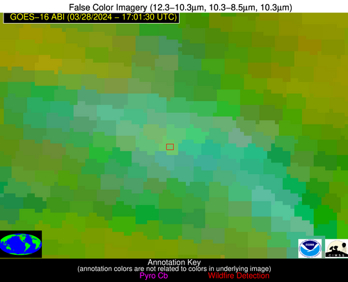
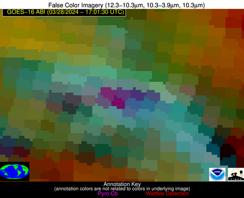
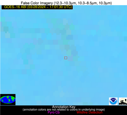
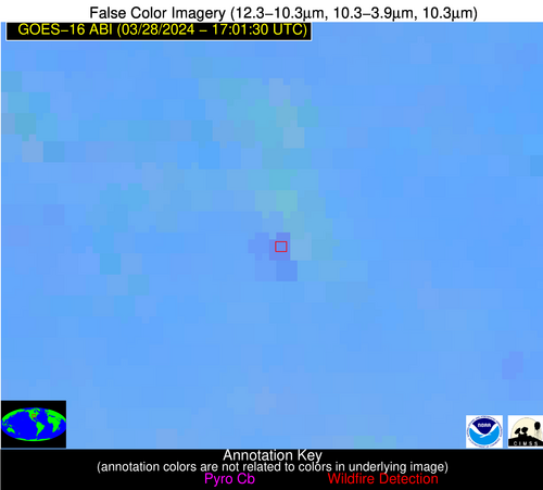
Possible Wildfire
| Basic Information | |
|---|---|
| State/Province(s) | OR |
| Country/Countries | USA |
| County/Locality(s) | Wheeler County, OR |
| NWS WFO | Pendleton OR |
| Identification Method | Enhanced Contextual (Cloud) |
| Mean Object Date/Time | 2024-03-28 17:01:16UTC |
| Radiative Center (Lat, Lon): | 44.930°, -119.920° |
| Nearby Counties (meeting alert criteria): |
|
| Total Radiative Power Anomaly | n/a |
| Total Radiative Power | 159.58 MW |
| Map: | |
| Additional Information | |
| Alert Status | New Feature |
| Type of Event | Nominal Risk |
| Event Priority Ranking | 4 |
| Maximum Observed BT (3.9 um) | 292.67 K |
| Observed - Background BT (3.9 um) | 15.52 K |
| BT Anomaly (3.9 um) | 4.86 K |
| Maximum Observed - Clear RTM BT (3.9 um) | 18.84 K |
| Maximum Observed BTD (3.9-10/11/12 um) | 30.56 K |
| Observed - Background BTD (3.9-10/11/12 um) | 15.74 K |
| BTD Anomaly (3.9-10/11/12 um) | 5.05 K |
| Similar Pixel Count | 0 |
| BT Time Tendency (3.9 um) | 12.70 K |
| Image Interval | 5.00 minutes |
| Fraction of Surrounding LWIR Pixels that are Colder | 0.88 |
| Fraction of Surrounding Red Channel Pixels that are Brighter | 0.44 |
| Maximum Radiative Power | 96.88 MW |
| Maximum Radiative Power Uncertainty | 0.00 MW |
| Total Radiative Power Uncertainty | 0.00 MW |
| Mean Viewing Angle | 68.30° |
| Mean Solar Zenith Angle | 58.10° |
| Mean Glint Angle | 126.40° |
| Water Fraction | 0.00 |
| Total Pixel Area | 56.70 km2 |
| Latest Satellite Imagery: | |
| View all event imagery » | |
Possible Wildfire
| Basic Information | |
|---|---|
| State/Province(s) | PA |
| Country/Countries | USA |
| County/Locality(s) | Blair County, PA |
| NWS WFO | State College PA |
| Identification Method | Enhanced Contextual (Clear) |
| Mean Object Date/Time | 2024-03-28 17:01:50UTC |
| Radiative Center (Lat, Lon): | 40.490°, -78.290° |
| Nearby Counties (meeting alert criteria): |
|
| Total Radiative Power Anomaly | n/a |
| Total Radiative Power | 36.78 MW |
| Map: | |
| Additional Information | |
| Alert Status | New Feature |
| Type of Event | Nominal Risk |
| Event Priority Ranking | 4 |
| Maximum Observed BT (3.9 um) | 304.39 K |
| Observed - Background BT (3.9 um) | 7.72 K |
| BT Anomaly (3.9 um) | 6.20 K |
| Maximum Observed - Clear RTM BT (3.9 um) | 24.42 K |
| Maximum Observed BTD (3.9-10/11/12 um) | 17.29 K |
| Observed - Background BTD (3.9-10/11/12 um) | 7.51 K |
| BTD Anomaly (3.9-10/11/12 um) | 14.21 K |
| Similar Pixel Count | 6 |
| BT Time Tendency (3.9 um) | 5.90 K |
| Image Interval | 5.00 minutes |
| Fraction of Surrounding LWIR Pixels that are Colder | 0.75 |
| Fraction of Surrounding Red Channel Pixels that are Brighter | 0.98 |
| Maximum Radiative Power | 36.78 MW |
| Maximum Radiative Power Uncertainty | 0.00 MW |
| Total Radiative Power Uncertainty | 0.00 MW |
| Mean Viewing Angle | 47.20° |
| Mean Solar Zenith Angle | 37.70° |
| Mean Glint Angle | 84.90° |
| Water Fraction | 0.00 |
| Total Pixel Area | 13.00 km2 |
| Latest Satellite Imagery: | |
| View all event imagery » | |
Possible Wildfire
| Basic Information | |
|---|---|
| State/Province(s) | MO |
| Country/Countries | USA |
| County/Locality(s) | Benton County, MO |
| NWS WFO | Springfield MO |
| Identification Method | Enhanced Contextual (Clear) |
| Mean Object Date/Time | 2024-03-28 17:01:48UTC |
| Radiative Center (Lat, Lon): | 38.130°, -93.420° |
| Nearby Counties (meeting alert criteria): |
|
| Total Radiative Power Anomaly | n/a |
| Total Radiative Power | 12.01 MW |
| Map: | |
| Additional Information | |
| Alert Status | New Feature |
| Type of Event | Nominal Risk |
| Event Priority Ranking | 4 |
| Maximum Observed BT (3.9 um) | 300.51 K |
| Observed - Background BT (3.9 um) | 2.73 K |
| BT Anomaly (3.9 um) | 2.10 K |
| Maximum Observed - Clear RTM BT (3.9 um) | 16.23 K |
| Maximum Observed BTD (3.9-10/11/12 um) | 12.91 K |
| Observed - Background BTD (3.9-10/11/12 um) | 4.11 K |
| BTD Anomaly (3.9-10/11/12 um) | 9.71 K |
| Similar Pixel Count | 11 |
| BT Time Tendency (3.9 um) | 3.60 K |
| Image Interval | 5.00 minutes |
| Fraction of Surrounding LWIR Pixels that are Colder | 0.14 |
| Fraction of Surrounding Red Channel Pixels that are Brighter | 1.00 |
| Maximum Radiative Power | 12.01 MW |
| Maximum Radiative Power Uncertainty | 0.00 MW |
| Total Radiative Power Uncertainty | 0.00 MW |
| Mean Viewing Angle | 48.30° |
| Mean Solar Zenith Angle | 39.40° |
| Mean Glint Angle | 87.70° |
| Water Fraction | 0.00 |
| Total Pixel Area | 6.90 km2 |
| Latest Satellite Imagery: | |
| View all event imagery » | |
Possible Wildfire
| Basic Information | |
|---|---|
| State/Province(s) | AL |
| Country/Countries | USA |
| County/Locality(s) | Coosa County, AL |
| NWS WFO | Birmingham AL |
| Identification Method | Enhanced Contextual (Clear) |
| Mean Object Date/Time | 2024-03-28 17:02:19UTC |
| Radiative Center (Lat, Lon): | 33.080°, -86.460° |
| Nearby Counties (meeting alert criteria): |
|
| Total Radiative Power Anomaly | n/a |
| Total Radiative Power | 8.35 MW |
| Map: | |
| Additional Information | |
| Alert Status | New Feature |
| Type of Event | Nominal Risk |
| Event Priority Ranking | 4 |
| Maximum Observed BT (3.9 um) | 301.45 K |
| Observed - Background BT (3.9 um) | 1.92 K |
| BT Anomaly (3.9 um) | 1.55 K |
| Maximum Observed - Clear RTM BT (3.9 um) | 14.46 K |
| Maximum Observed BTD (3.9-10/11/12 um) | 9.35 K |
| Observed - Background BTD (3.9-10/11/12 um) | 2.66 K |
| BTD Anomaly (3.9-10/11/12 um) | 6.04 K |
| Similar Pixel Count | 16 |
| BT Time Tendency (3.9 um) | 1.60 K |
| Image Interval | 5.00 minutes |
| Fraction of Surrounding LWIR Pixels that are Colder | 0.18 |
| Fraction of Surrounding Red Channel Pixels that are Brighter | 1.00 |
| Maximum Radiative Power | 8.35 MW |
| Maximum Radiative Power Uncertainty | 0.00 MW |
| Total Radiative Power Uncertainty | 0.00 MW |
| Mean Viewing Angle | 40.50° |
| Mean Solar Zenith Angle | 32.30° |
| Mean Glint Angle | 72.80° |
| Water Fraction | 0.00 |
| Total Pixel Area | 5.70 km2 |
| Latest Satellite Imagery: | |
| View all event imagery » | |
