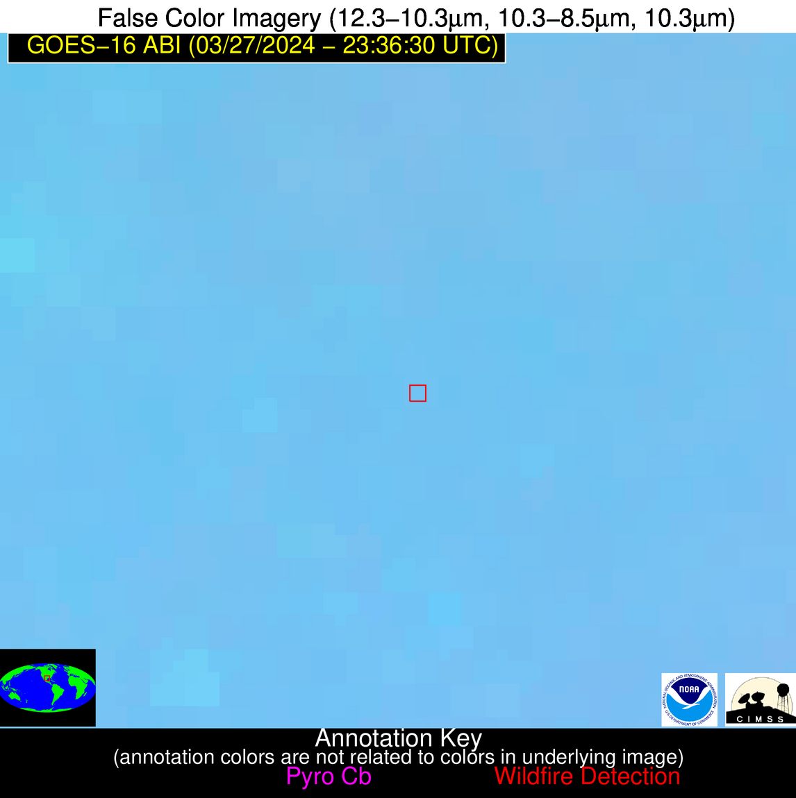
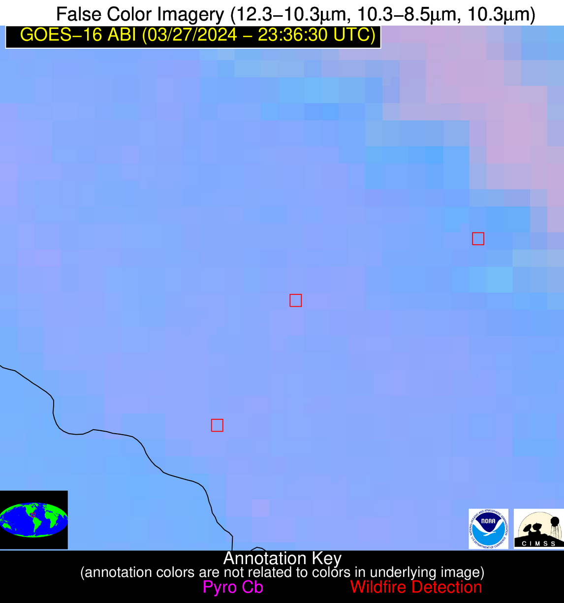
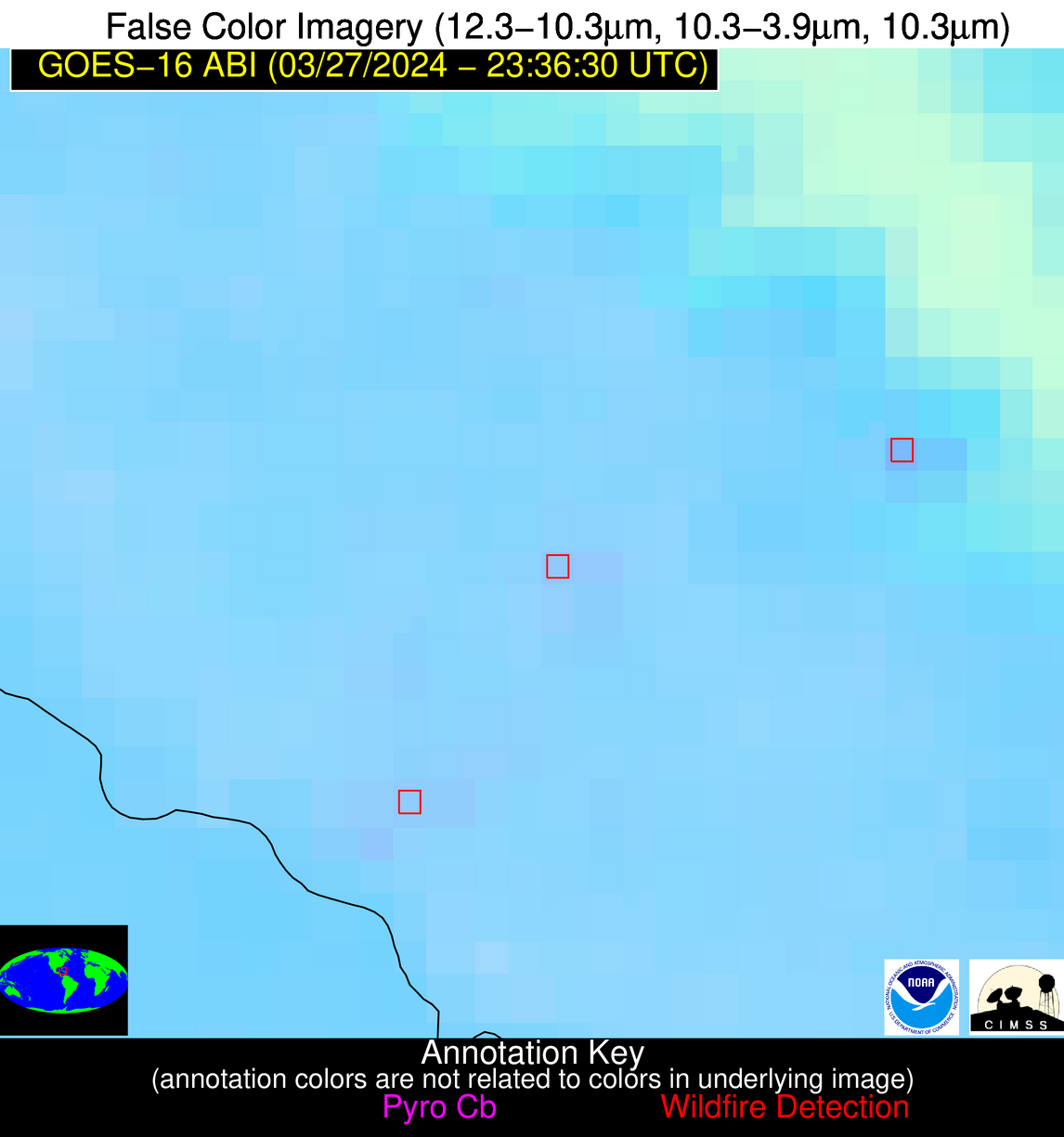
Wildfire Alert Report
| Date: | 2024-03-27 |
|---|---|
| Time: | 23:36:15 |
| Production Date and Time: | 2024-03-27 23:45:58 UTC |
| Primary Instrument: | GOES-16 ABI |
| Wmo Spacecraft Id: | 152 |
| Location/orbit: | GEO |
| L1 File: | OR_ABI-L1b-RadC-M6C14_G16_s20240872336153_e20240872338526_c20240872339017.nc |
| L1 File(s) - Temporal | OR_ABI-L1b-RadC-M6C14_G16_s20240872331153_e20240872333526_c20240872334003.nc |
| Number Of Thermal Anomaly Alerts: | 7 |
Possible Wildfire
| Basic Information | |
|---|---|
| State/Province(s) | IA |
| Country/Countries | USA |
| County/Locality(s) | Adair County, IA |
| NWS WFO | Des Moines IA |
| Identification Method | Enhanced Contextual (Clear) |
| Mean Object Date/Time | 2024-03-27 23:36:48UTC |
| Radiative Center (Lat, Lon): | 41.220°, -94.600° |
| Nearby Counties (meeting alert criteria): |
|
| Total Radiative Power Anomaly | n/a |
| Total Radiative Power | 22.28 MW |
| Map: | |
| Additional Information | |
| Alert Status | New Feature |
| Type of Event | Nominal Risk |
| Event Priority Ranking | 4 |
| Maximum Observed BT (3.9 um) | 282.07 K |
| Observed - Background BT (3.9 um) | 7.85 K |
| BT Anomaly (3.9 um) | 78.53 K |
| Maximum Observed - Clear RTM BT (3.9 um) | 9.45 K |
| Maximum Observed BTD (3.9-10/11/12 um) | 10.19 K |
| Observed - Background BTD (3.9-10/11/12 um) | 7.65 K |
| BTD Anomaly (3.9-10/11/12 um) | 38.90 K |
| Similar Pixel Count | 2 |
| BT Time Tendency (3.9 um) | 7.50 K |
| Image Interval | 5.00 minutes |
| Fraction of Surrounding LWIR Pixels that are Colder | 0.74 |
| Fraction of Surrounding Red Channel Pixels that are Brighter | 1.00 |
| Maximum Radiative Power | 11.78 MW |
| Maximum Radiative Power Uncertainty | 0.00 MW |
| Total Radiative Power Uncertainty | 0.00 MW |
| Mean Viewing Angle | 51.90° |
| Mean Solar Zenith Angle | 79.40° |
| Mean Glint Angle | 66.10° |
| Water Fraction | 0.00 |
| Total Pixel Area | 15.30 km2 |
| Latest Satellite Imagery: | |
| View all event imagery » | |
Possible Wildfire
| Basic Information | |
|---|---|
| State/Province(s) | KS |
| Country/Countries | USA |
| County/Locality(s) | Riley County, KS |
| NWS WFO | Topeka KS |
| Identification Method | Enhanced Contextual (Clear) |
| Mean Object Date/Time | 2024-03-27 23:36:48UTC |
| Radiative Center (Lat, Lon): | 39.550°, -96.920° |
| Nearby Counties (meeting alert criteria): |
|
| Total Radiative Power Anomaly | n/a |
| Total Radiative Power | 16.62 MW |
| Map: | |
| Additional Information | |
| Alert Status | New Feature |
| Type of Event | Nominal Risk |
| Event Priority Ranking | 4 |
| Maximum Observed BT (3.9 um) | 287.04 K |
| Observed - Background BT (3.9 um) | 5.27 K |
| BT Anomaly (3.9 um) | 7.96 K |
| Maximum Observed - Clear RTM BT (3.9 um) | 9.46 K |
| Maximum Observed BTD (3.9-10/11/12 um) | 8.13 K |
| Observed - Background BTD (3.9-10/11/12 um) | 4.92 K |
| BTD Anomaly (3.9-10/11/12 um) | 9.12 K |
| Similar Pixel Count | 3 |
| BT Time Tendency (3.9 um) | 2.80 K |
| Image Interval | 5.00 minutes |
| Fraction of Surrounding LWIR Pixels that are Colder | 0.86 |
| Fraction of Surrounding Red Channel Pixels that are Brighter | 1.00 |
| Maximum Radiative Power | 16.62 MW |
| Maximum Radiative Power Uncertainty | 0.00 MW |
| Total Radiative Power Uncertainty | 0.00 MW |
| Mean Viewing Angle | 51.20° |
| Mean Solar Zenith Angle | 77.50° |
| Mean Glint Angle | 62.90° |
| Water Fraction | 0.00 |
| Total Pixel Area | 15.20 km2 |
| Latest Satellite Imagery: | |
| View all event imagery » | |
Possible Wildfire
| Basic Information | |
|---|---|
| State/Province(s) | MO |
| Country/Countries | USA |
| County/Locality(s) | Carroll County, MO |
| NWS WFO | Kansas City/Pleasant Hill MO |
| Identification Method | Enhanced Contextual (Cloud) |
| Mean Object Date/Time | 2024-03-27 23:36:48UTC |
| Radiative Center (Lat, Lon): | 39.380°, -93.370° |
| Nearby Counties (meeting alert criteria): |
|
| Total Radiative Power Anomaly | n/a |
| Total Radiative Power | 585.49 MW |
| Map: | |
| Additional Information | |
| Alert Status | New Feature |
| Type of Event | Nominal Risk |
| Event Priority Ranking | 4 |
| Maximum Observed BT (3.9 um) | 330.47 K |
| Observed - Background BT (3.9 um) | 48.99 K |
| BT Anomaly (3.9 um) | 29.75 K |
| Maximum Observed - Clear RTM BT (3.9 um) | 54.76 K |
| Maximum Observed BTD (3.9-10/11/12 um) | 54.38 K |
| Observed - Background BTD (3.9-10/11/12 um) | 49.20 K |
| BTD Anomaly (3.9-10/11/12 um) | 15.42 K |
| Similar Pixel Count | 0 |
| BT Time Tendency (3.9 um) | 47.90 K |
| Image Interval | 5.00 minutes |
| Fraction of Surrounding LWIR Pixels that are Colder | 0.40 |
| Fraction of Surrounding Red Channel Pixels that are Brighter | 0.48 |
| Maximum Radiative Power | 209.62 MW |
| Maximum Radiative Power Uncertainty | 0.00 MW |
| Total Radiative Power Uncertainty | 0.00 MW |
| Mean Viewing Angle | 49.60° |
| Mean Solar Zenith Angle | 80.20° |
| Mean Glint Angle | 66.50° |
| Water Fraction | 0.00 |
| Total Pixel Area | 28.60 km2 |
| Latest Satellite Imagery: | |
| View all event imagery » | |
Possible Wildfire
| Basic Information | |
|---|---|
| State/Province(s) | MO |
| Country/Countries | USA |
| County/Locality(s) | Cedar County, MO |
| NWS WFO | Springfield MO |
| Identification Method | Enhanced Contextual (Clear) |
| Mean Object Date/Time | 2024-03-27 23:36:48UTC |
| Radiative Center (Lat, Lon): | 37.880°, -93.840° |
| Nearby Counties (meeting alert criteria): |
|
| Total Radiative Power Anomaly | n/a |
| Total Radiative Power | 29.19 MW |
| Map: | |
| Additional Information | |
| Alert Status | New Feature |
| Type of Event | Nominal Risk |
| Event Priority Ranking | 4 |
| Maximum Observed BT (3.9 um) | 290.45 K |
| Observed - Background BT (3.9 um) | 9.34 K |
| BT Anomaly (3.9 um) | 49.79 K |
| Maximum Observed - Clear RTM BT (3.9 um) | 13.48 K |
| Maximum Observed BTD (3.9-10/11/12 um) | 11.12 K |
| Observed - Background BTD (3.9-10/11/12 um) | 9.37 K |
| BTD Anomaly (3.9-10/11/12 um) | 60.71 K |
| Similar Pixel Count | 2 |
| BT Time Tendency (3.9 um) | 6.50 K |
| Image Interval | 5.00 minutes |
| Fraction of Surrounding LWIR Pixels that are Colder | 0.46 |
| Fraction of Surrounding Red Channel Pixels that are Brighter | 1.00 |
| Maximum Radiative Power | 29.19 MW |
| Maximum Radiative Power Uncertainty | 0.00 MW |
| Total Radiative Power Uncertainty | 0.00 MW |
| Mean Viewing Angle | 48.30° |
| Mean Solar Zenith Angle | 79.70° |
| Mean Glint Angle | 65.30° |
| Water Fraction | 0.00 |
| Total Pixel Area | 13.90 km2 |
| Latest Satellite Imagery: | |
| View all event imagery » | |
Possible Wildfire
| Basic Information | |
|---|---|
| State/Province(s) | MO |
| Country/Countries | USA |
| County/Locality(s) | Douglas County, MO |
| NWS WFO | Springfield MO |
| Identification Method | Enhanced Contextual (Clear) |
| Mean Object Date/Time | 2024-03-27 23:36:48UTC |
| Radiative Center (Lat, Lon): | 37.040°, -92.800° |
| Nearby Counties (meeting alert criteria): |
|
| Total Radiative Power Anomaly | n/a |
| Total Radiative Power | 4.24 MW |
| Map: | |
| Additional Information | |
| Alert Status | New Feature |
| Type of Event | Nominal Risk |
| Event Priority Ranking | 4 |
| Maximum Observed BT (3.9 um) | 283.66 K |
| Observed - Background BT (3.9 um) | 2.64 K |
| BT Anomaly (3.9 um) | 5.21 K |
| Maximum Observed - Clear RTM BT (3.9 um) | 7.64 K |
| Maximum Observed BTD (3.9-10/11/12 um) | 4.29 K |
| Observed - Background BTD (3.9-10/11/12 um) | 2.59 K |
| BTD Anomaly (3.9-10/11/12 um) | 18.76 K |
| Similar Pixel Count | 1 |
| BT Time Tendency (3.9 um) | 1.80 K |
| Image Interval | 5.00 minutes |
| Fraction of Surrounding LWIR Pixels that are Colder | 0.50 |
| Fraction of Surrounding Red Channel Pixels that are Brighter | 1.00 |
| Maximum Radiative Power | 4.24 MW |
| Maximum Radiative Power Uncertainty | 0.00 MW |
| Total Radiative Power Uncertainty | 0.00 MW |
| Mean Viewing Angle | 47.00° |
| Mean Solar Zenith Angle | 80.50° |
| Mean Glint Angle | 66.20° |
| Water Fraction | 0.00 |
| Total Pixel Area | 6.70 km2 |
| Latest Satellite Imagery: | |
| View all event imagery » | |
Possible Wildfire
| Basic Information | |
|---|---|
| State/Province(s) | TX |
| Country/Countries | USA |
| County/Locality(s) | DeWitt County, TX |
| NWS WFO | Austin/San Antonio TX |
| Identification Method | Enhanced Contextual (Clear) |
| Mean Object Date/Time | 2024-03-27 23:37:48UTC |
| Radiative Center (Lat, Lon): | 28.840°, -97.560° |
| Nearby Counties (meeting alert criteria): |
|
| Total Radiative Power Anomaly | n/a |
| Total Radiative Power | 6.79 MW |
| Map: | |
| Additional Information | |
| Alert Status | New Feature |
| Type of Event | Nominal Risk |
| Event Priority Ranking | 4 |
| Maximum Observed BT (3.9 um) | 294.73 K |
| Observed - Background BT (3.9 um) | 3.14 K |
| BT Anomaly (3.9 um) | 6.27 K |
| Maximum Observed - Clear RTM BT (3.9 um) | 8.19 K |
| Maximum Observed BTD (3.9-10/11/12 um) | 6.38 K |
| Observed - Background BTD (3.9-10/11/12 um) | 2.96 K |
| BTD Anomaly (3.9-10/11/12 um) | 18.13 K |
| Similar Pixel Count | 2 |
| BT Time Tendency (3.9 um) | 0.90 K |
| Image Interval | 5.00 minutes |
| Fraction of Surrounding LWIR Pixels that are Colder | 0.61 |
| Fraction of Surrounding Red Channel Pixels that are Brighter | 1.00 |
| Maximum Radiative Power | 6.79 MW |
| Maximum Radiative Power Uncertainty | 0.00 MW |
| Total Radiative Power Uncertainty | 0.00 MW |
| Mean Viewing Angle | 41.80° |
| Mean Solar Zenith Angle | 75.80° |
| Mean Glint Angle | 56.10° |
| Water Fraction | 0.00 |
| Total Pixel Area | 6.00 km2 |
| Latest Satellite Imagery: | |
| View all event imagery » | |
Possible Wildfire
| Basic Information | |
|---|---|
| State/Province(s) | Unknown |
| Country/Countries | Cuba |
| County/Locality(s) | Cuba |
| NWS WFO | N/A |
| Identification Method | Enhanced Contextual (Cloud) |
| Mean Object Date/Time | 2024-03-27 23:38:20UTC |
| Radiative Center (Lat, Lon): | 21.080°, -78.180° |
| Nearby Counties (meeting alert criteria): |
|
| Total Radiative Power Anomaly | n/a |
| Total Radiative Power | 4.15 MW |
| Map: | |
| Additional Information | |
| Alert Status | New Feature |
| Type of Event | Nominal Risk |
| Event Priority Ranking | 4 |
| Maximum Observed BT (3.9 um) | 297.72 K |
| Observed - Background BT (3.9 um) | 1.38 K |
| BT Anomaly (3.9 um) | 2.12 K |
| Maximum Observed - Clear RTM BT (3.9 um) | 1.98 K |
| Maximum Observed BTD (3.9-10/11/12 um) | 3.94 K |
| Observed - Background BTD (3.9-10/11/12 um) | 1.65 K |
| BTD Anomaly (3.9-10/11/12 um) | 4.69 K |
| Similar Pixel Count | 0 |
| BT Time Tendency (3.9 um) | -0.40 K |
| Image Interval | 5.00 minutes |
| Fraction of Surrounding LWIR Pixels that are Colder | 0.28 |
| Fraction of Surrounding Red Channel Pixels that are Brighter | 1.00 |
| Maximum Radiative Power | 4.15 MW |
| Maximum Radiative Power Uncertainty | 0.00 MW |
| Total Radiative Power Uncertainty | 0.00 MW |
| Mean Viewing Angle | 25.00° |
| Mean Solar Zenith Angle | 93.30° |
| Mean Glint Angle | 87.90° |
| Water Fraction | 0.00 |
| Total Pixel Area | 4.60 km2 |
| Latest Satellite Imagery: | |
| View all event imagery » | |


