Wildfire Alert Report
| Date: | 2024-03-24 |
|---|---|
| Time: | 19:26:15 |
| Production Date and Time: | 2024-03-24 19:31:09 UTC |
| Primary Instrument: | GOES-16 ABI |
| Wmo Spacecraft Id: | 152 |
| Location/orbit: | GEO |
| L1 File: | OR_ABI-L1b-RadC-M6C14_G16_s20240841926154_e20240841928527_c20240841928591.nc |
| L1 File(s) - Temporal | OR_ABI-L1b-RadC-M6C14_G16_s20240841921154_e20240841923527_c20240841924002.nc |
| Number Of Thermal Anomaly Alerts: | 4 |
Possible Wildfire
| Basic Information | |
|---|---|
| State/Province(s) | IL |
| Country/Countries | USA |
| County/Locality(s) | Macoupin County, IL |
| NWS WFO | St Louis MO |
| Identification Method | Enhanced Contextual (Clear) |
| Mean Object Date/Time | 2024-03-24 19:26:49UTC |
| Radiative Center (Lat, Lon): | 39.500000°, -89.800000° |
| Nearby Counties (meeting alert criteria): |
|
| Total Radiative Power Anomaly | n/a |
| Total Radiative Power | 10.22 MW |
| Map: | |
| Additional Information | |
| Alert Status | New Feature |
| Type of Event | Nominal Risk |
| Event Priority Ranking | 4 |
| Maximum Observed BT (3.9 um) | 306.64 K |
| Observed - Background BT (3.9 um) | 3.93 K |
| BT Anomaly (3.9 um) | 2.04 K |
| Maximum Observed - Clear RTM BT (3.9 um) | 23.25 K |
| Maximum Observed BTD (3.9-10/11/12 um) | 17.89 K |
| Observed - Background BTD (3.9-10/11/12 um) | 3.42 K |
| BTD Anomaly (3.9-10/11/12 um) | 2.42 K |
| Similar Pixel Count | 25 |
| BT Time Tendency (3.9 um) | 1.80 K |
| Image Interval | 5.00 minutes |
| Fraction of Surrounding LWIR Pixels that are Colder | 0.76 |
| Fraction of Surrounding Red Channel Pixels that are Brighter | 1.00 |
| Maximum Radiative Power | 10.22 MW |
| Maximum Radiative Power Uncertainty | 0.00 MW |
| Total Radiative Power Uncertainty | 0.00 MW |
| Mean Viewing Angle | 48.40° |
| Mean Solar Zenith Angle | 42.40° |
| Mean Glint Angle | 79.20° |
| Water Fraction | 0.00 |
| Total Pixel Area | 6.80 km2 |
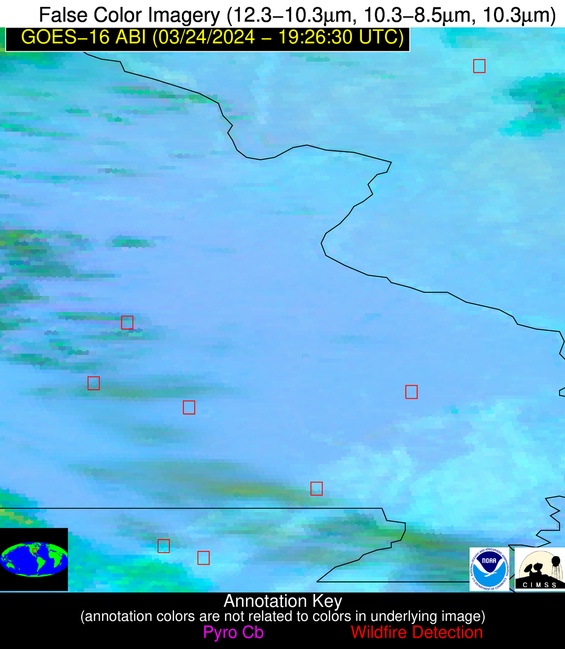
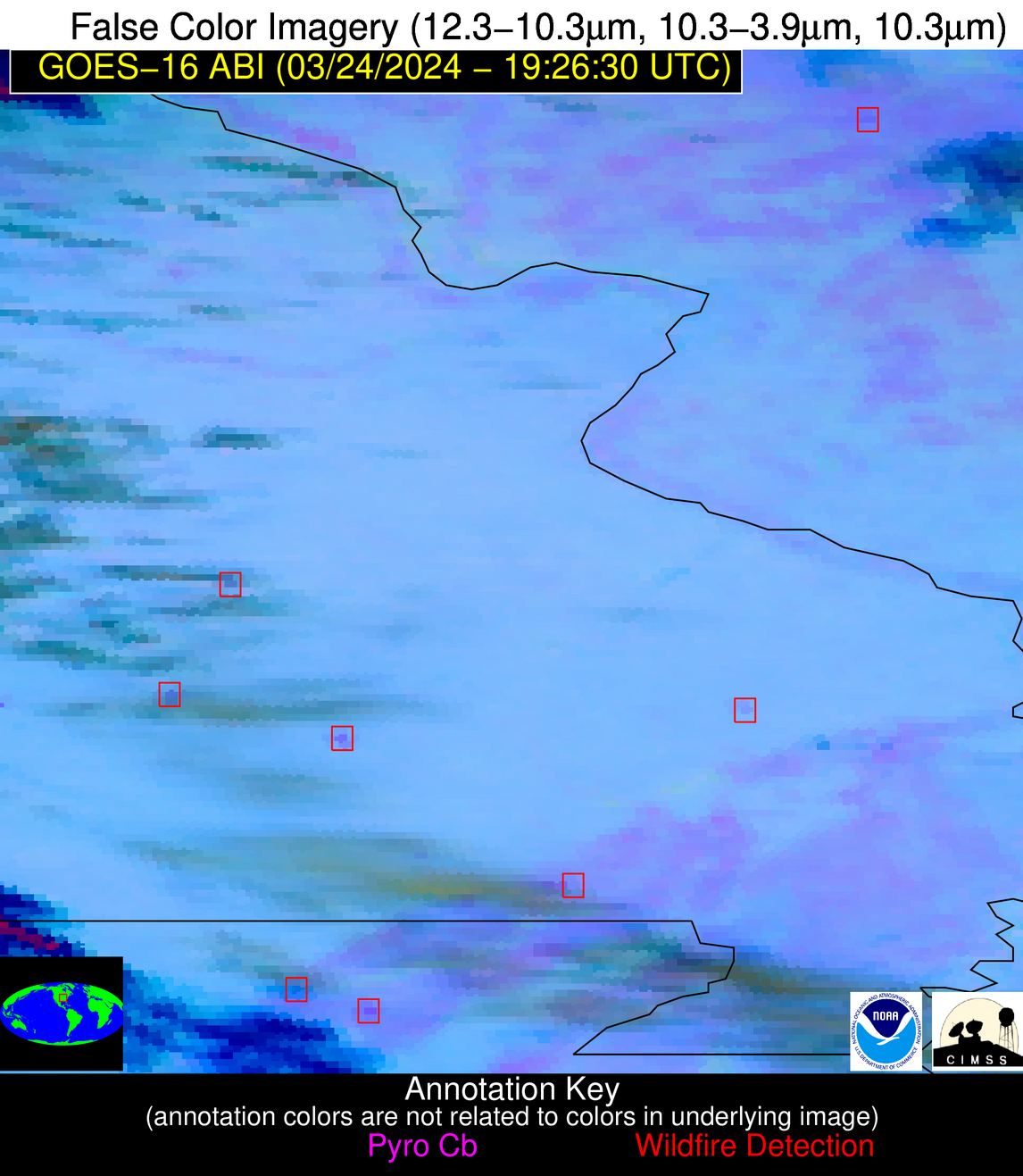
| Latest Satellite Imagery: | |
| View all event imagery » | |
Possible Wildfire
| Basic Information | |
|---|---|
| State/Province(s) | MO |
| Country/Countries | USA |
| County/Locality(s) | Shannon County, MO |
| NWS WFO | Springfield MO |
| Identification Method | Enhanced Contextual (Clear) |
| Mean Object Date/Time | 2024-03-24 19:26:49UTC |
| Radiative Center (Lat, Lon): | 37.350000°, -91.180000° |
| Nearby Counties (meeting alert criteria): |
|
| Total Radiative Power Anomaly | n/a |
| Total Radiative Power | 23.15 MW |
| Map: | |
| Additional Information | |
| Alert Status | New Feature |
| Type of Event | Nominal Risk |
| Event Priority Ranking | 4 |
| Maximum Observed BT (3.9 um) | 299.36 K |
| Observed - Background BT (3.9 um) | 6.15 K |
| BT Anomaly (3.9 um) | 6.05 K |
| Maximum Observed - Clear RTM BT (3.9 um) | 15.14 K |
| Maximum Observed BTD (3.9-10/11/12 um) | 17.32 K |
| Observed - Background BTD (3.9-10/11/12 um) | 6.62 K |
| BTD Anomaly (3.9-10/11/12 um) | 7.39 K |
| Similar Pixel Count | 13 |
| BT Time Tendency (3.9 um) | 7.10 K |
| Image Interval | 5.00 minutes |
| Fraction of Surrounding LWIR Pixels that are Colder | 0.28 |
| Fraction of Surrounding Red Channel Pixels that are Brighter | 1.00 |
| Maximum Radiative Power | 23.15 MW |
| Maximum Radiative Power Uncertainty | 0.00 MW |
| Total Radiative Power Uncertainty | 0.00 MW |
| Mean Viewing Angle | 46.70° |
| Mean Solar Zenith Angle | 39.90° |
| Mean Glint Angle | 74.80° |
| Water Fraction | 0.00 |
| Total Pixel Area | 13.20 km2 |
| Latest Satellite Imagery: | |
| View all event imagery » | |
Possible Wildfire
| Basic Information | |
|---|---|
| State/Province(s) | MO |
| Country/Countries | USA |
| County/Locality(s) | Bollinger County, MO |
| NWS WFO | Paducah KY |
| Identification Method | Enhanced Contextual (Clear) |
| Mean Object Date/Time | 2024-03-24 19:26:49UTC |
| Radiative Center (Lat, Lon): | 37.290000°, -90.040000° |
| Nearby Counties (meeting alert criteria): |
|
| Total Radiative Power Anomaly | n/a |
| Total Radiative Power | 20.29 MW |
| Map: | |
| Additional Information | |
| Alert Status | New Feature |
| Type of Event | Nominal Risk |
| Event Priority Ranking | 4 |
| Maximum Observed BT (3.9 um) | 302.51 K |
| Observed - Background BT (3.9 um) | 3.58 K |
| BT Anomaly (3.9 um) | 3.17 K |
| Maximum Observed - Clear RTM BT (3.9 um) | 18.73 K |
| Maximum Observed BTD (3.9-10/11/12 um) | 10.51 K |
| Observed - Background BTD (3.9-10/11/12 um) | 3.44 K |
| BTD Anomaly (3.9-10/11/12 um) | 3.88 K |
| Similar Pixel Count | 8 |
| BT Time Tendency (3.9 um) | 2.60 K |
| Image Interval | 5.00 minutes |
| Fraction of Surrounding LWIR Pixels that are Colder | 0.64 |
| Fraction of Surrounding Red Channel Pixels that are Brighter | 1.00 |
| Maximum Radiative Power | 11.42 MW |
| Maximum Radiative Power Uncertainty | 0.00 MW |
| Total Radiative Power Uncertainty | 0.00 MW |
| Mean Viewing Angle | 46.20° |
| Mean Solar Zenith Angle | 40.40° |
| Mean Glint Angle | 74.80° |
| Water Fraction | 0.00 |
| Total Pixel Area | 13.00 km2 |
| Latest Satellite Imagery: | |
| View all event imagery » | |
Possible Wildfire
| Basic Information | |
|---|---|
| State/Province(s) | AR |
| Country/Countries | USA |
| County/Locality(s) | Greene County, AR |
| NWS WFO | Memphis TN |
| Identification Method | Enhanced Contextual (Cloud) |
| Mean Object Date/Time | 2024-03-24 19:26:49UTC |
| Radiative Center (Lat, Lon): | 36.160000°, -90.790000° |
| Nearby Counties (meeting alert criteria): |
|
| Total Radiative Power Anomaly | n/a |
| Total Radiative Power | 38.99 MW |
| Map: | |
| Additional Information | |
| Alert Status | New Feature |
| Type of Event | Nominal Risk |
| Event Priority Ranking | 4 |
| Maximum Observed BT (3.9 um) | 315.86 K |
| Observed - Background BT (3.9 um) | 8.76 K |
| BT Anomaly (3.9 um) | 4.57 K |
| Maximum Observed - Clear RTM BT (3.9 um) | 30.93 K |
| Maximum Observed BTD (3.9-10/11/12 um) | 20.74 K |
| Observed - Background BTD (3.9-10/11/12 um) | 8.05 K |
| BTD Anomaly (3.9-10/11/12 um) | 5.28 K |
| Similar Pixel Count | 0 |
| BT Time Tendency (3.9 um) | 5.80 K |
| Image Interval | 5.00 minutes |
| Fraction of Surrounding LWIR Pixels that are Colder | 0.95 |
| Fraction of Surrounding Red Channel Pixels that are Brighter | 0.66 |
| Maximum Radiative Power | 38.99 MW |
| Maximum Radiative Power Uncertainty | 0.00 MW |
| Total Radiative Power Uncertainty | 0.00 MW |
| Mean Viewing Angle | 45.30° |
| Mean Solar Zenith Angle | 39.10° |
| Mean Glint Angle | 72.50° |
| Water Fraction | 0.00 |
| Total Pixel Area | 6.40 km2 |
| Latest Satellite Imagery: | |
| View all event imagery » | |


