Wildfire Alert Report
| Date: | 2024-03-24 |
|---|---|
| Time: | 18:16:15 |
| Production Date and Time: | 2024-03-24 18:20:56 UTC |
| Primary Instrument: | GOES-16 ABI |
| Wmo Spacecraft Id: | 152 |
| Location/orbit: | GEO |
| L1 File: | OR_ABI-L1b-RadC-M6C14_G16_s20240841816154_e20240841818527_c20240841819018.nc |
| L1 File(s) - Temporal | OR_ABI-L1b-RadC-M6C14_G16_s20240841811154_e20240841813527_c20240841814018.nc |
| Number Of Thermal Anomaly Alerts: | 4 |
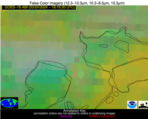
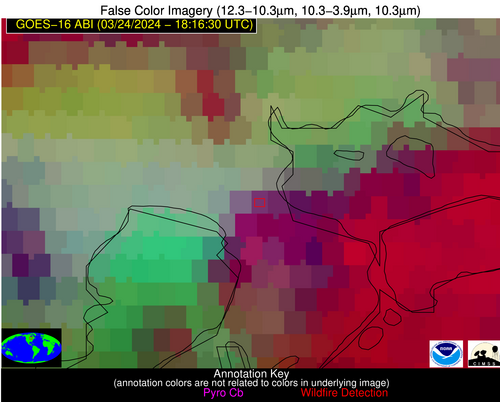
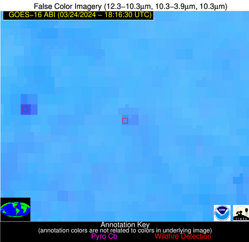
Possible Wildfire
| Basic Information | |
|---|---|
| State/Province(s) | Ontario |
| Country/Countries | Canada |
| County/Locality(s) | Canada |
| NWS WFO | N/A |
| Identification Method | Enhanced Contextual (Cloud) |
| Mean Object Date/Time | 2024-03-24 18:16:19UTC |
| Radiative Center (Lat, Lon): | 48.860000°, -88.280000° |
| Nearby Counties (meeting alert criteria): |
|
| Total Radiative Power Anomaly | n/a |
| Total Radiative Power | 41.69 MW |
| Map: | |
| Additional Information | |
| Alert Status | New Feature |
| Type of Event | Nominal Risk |
| Event Priority Ranking | 4 |
| Maximum Observed BT (3.9 um) | 288.29 K |
| Observed - Background BT (3.9 um) | 16.43 K |
| BT Anomaly (3.9 um) | 10.12 K |
| Maximum Observed - Clear RTM BT (3.9 um) | 16.35 K |
| Maximum Observed BTD (3.9-10/11/12 um) | 25.03 K |
| Observed - Background BTD (3.9-10/11/12 um) | 16.09 K |
| BTD Anomaly (3.9-10/11/12 um) | 8.80 K |
| Similar Pixel Count | 0 |
| BT Time Tendency (3.9 um) | 6.70 K |
| Image Interval | 5.00 minutes |
| Fraction of Surrounding LWIR Pixels that are Colder | 0.88 |
| Fraction of Surrounding Red Channel Pixels that are Brighter | 0.46 |
| Maximum Radiative Power | 41.69 MW |
| Maximum Radiative Power Uncertainty | 0.00 MW |
| Total Radiative Power Uncertainty | 0.00 MW |
| Mean Viewing Angle | 57.80° |
| Mean Solar Zenith Angle | 47.60° |
| Mean Glint Angle | 102.50° |
| Water Fraction | 0.00 |
| Total Pixel Area | 8.80 km2 |
| Latest Satellite Imagery: | |
| View all event imagery » | |
Possible Wildfire
| Basic Information | |
|---|---|
| State/Province(s) | IL |
| Country/Countries | USA |
| County/Locality(s) | Wayne County, IL |
| NWS WFO | Paducah KY |
| Identification Method | Enhanced Contextual (Cloud) |
| Mean Object Date/Time | 2024-03-24 18:16:49UTC |
| Radiative Center (Lat, Lon): | 38.580000°, -88.600000° |
| Nearby Counties (meeting alert criteria): |
|
| Total Radiative Power Anomaly | n/a |
| Total Radiative Power | 30.31 MW |
| Map: | |
| Additional Information | |
| Alert Status | New Feature |
| Type of Event | Nominal Risk |
| Event Priority Ranking | 4 |
| Maximum Observed BT (3.9 um) | 306.77 K |
| Observed - Background BT (3.9 um) | 8.58 K |
| BT Anomaly (3.9 um) | 7.88 K |
| Maximum Observed - Clear RTM BT (3.9 um) | 22.49 K |
| Maximum Observed BTD (3.9-10/11/12 um) | 20.00 K |
| Observed - Background BTD (3.9-10/11/12 um) | 8.52 K |
| BTD Anomaly (3.9-10/11/12 um) | 7.23 K |
| Similar Pixel Count | 0 |
| BT Time Tendency (3.9 um) | 8.60 K |
| Image Interval | 5.00 minutes |
| Fraction of Surrounding LWIR Pixels that are Colder | 0.50 |
| Fraction of Surrounding Red Channel Pixels that are Brighter | 1.00 |
| Maximum Radiative Power | 30.31 MW |
| Maximum Radiative Power Uncertainty | 0.00 MW |
| Total Radiative Power Uncertainty | 0.00 MW |
| Mean Viewing Angle | 47.10° |
| Mean Solar Zenith Angle | 37.40° |
| Mean Glint Angle | 81.60° |
| Water Fraction | 0.00 |
| Total Pixel Area | 6.60 km2 |
| Latest Satellite Imagery: | |
| View all event imagery » | |
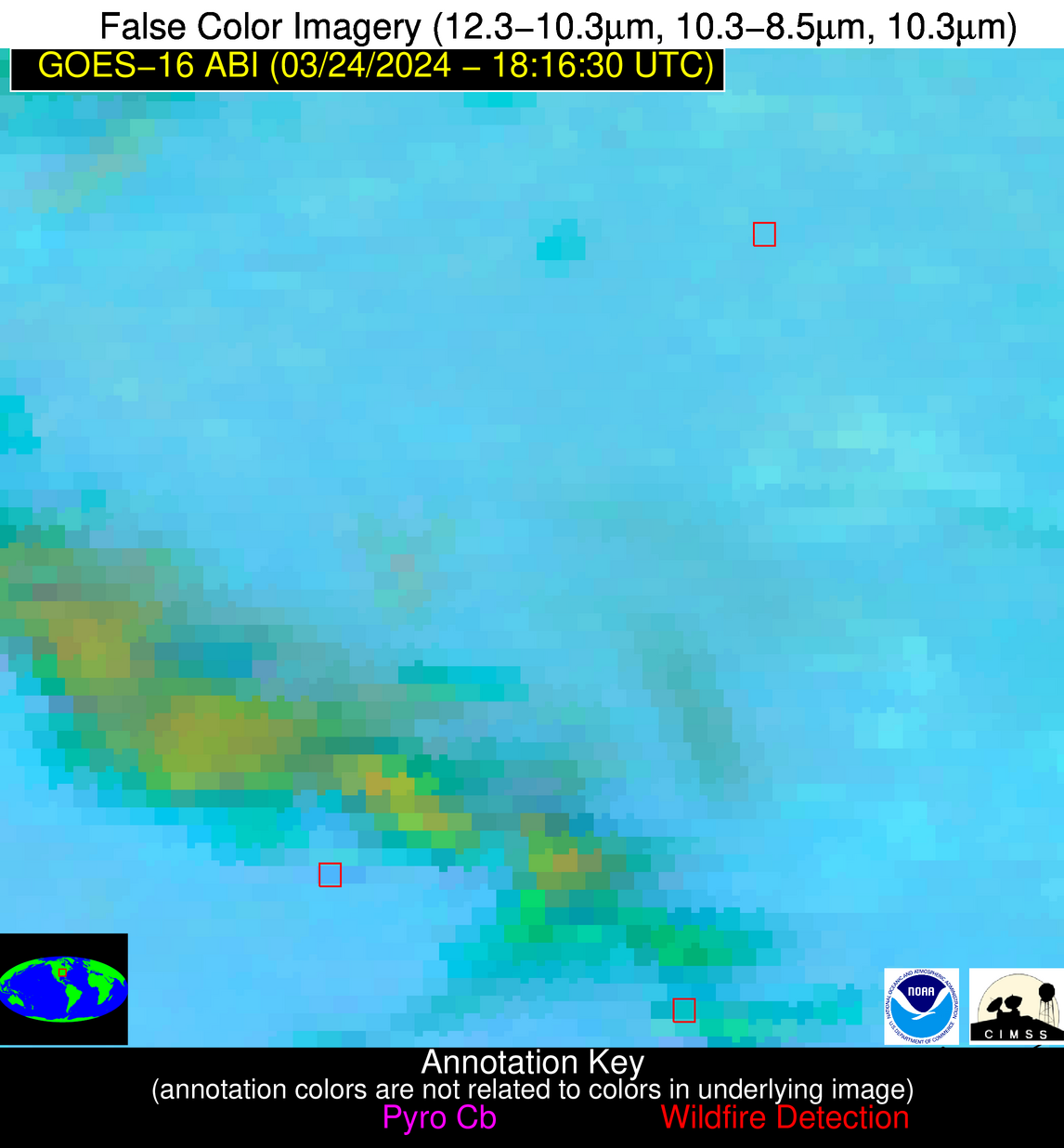
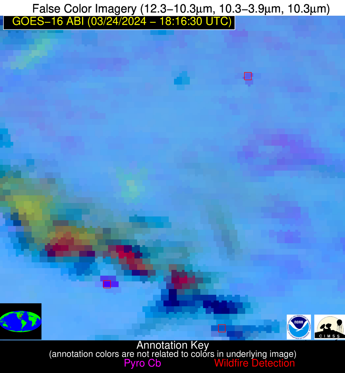
Possible Wildfire
| Basic Information | |
|---|---|
| State/Province(s) | IL |
| Country/Countries | USA |
| County/Locality(s) | Williamson County, IL |
| NWS WFO | Paducah KY |
| Identification Method | Enhanced Contextual (Cloud) |
| Mean Object Date/Time | 2024-03-24 18:16:49UTC |
| Radiative Center (Lat, Lon): | 37.680000°, -89.040000° |
| Nearby Counties (meeting alert criteria): |
|
| Total Radiative Power Anomaly | n/a |
| Total Radiative Power | 268.32 MW |
| Map: | |
| Additional Information | |
| Alert Status | New Feature |
| Type of Event | Nominal Risk, Known Incident: HERRIN FLATS RX (MEDIUM, tdiff=0.1789 days, POINT) |
| Event Priority Ranking | 4 |
| Maximum Observed BT (3.9 um) | 322.85 K |
| Observed - Background BT (3.9 um) | 23.92 K |
| BT Anomaly (3.9 um) | 21.12 K |
| Maximum Observed - Clear RTM BT (3.9 um) | 37.07 K |
| Maximum Observed BTD (3.9-10/11/12 um) | 32.96 K |
| Observed - Background BTD (3.9-10/11/12 um) | 23.85 K |
| BTD Anomaly (3.9-10/11/12 um) | 29.88 K |
| Similar Pixel Count | 0 |
| BT Time Tendency (3.9 um) | 24.90 K |
| Image Interval | 5.00 minutes |
| Fraction of Surrounding LWIR Pixels that are Colder | 0.77 |
| Fraction of Surrounding Red Channel Pixels that are Brighter | 1.00 |
| Maximum Radiative Power | 105.51 MW |
| Maximum Radiative Power Uncertainty | 0.00 MW |
| Total Radiative Power Uncertainty | 0.00 MW |
| Mean Viewing Angle | 46.30° |
| Mean Solar Zenith Angle | 36.50° |
| Mean Glint Angle | 79.90° |
| Water Fraction | 0.00 |
| Total Pixel Area | 26.00 km2 |
| Latest Satellite Imagery: | |
| View all event imagery » | |
Possible Wildfire
| Basic Information | |
|---|---|
| State/Province(s) | GA |
| Country/Countries | USA |
| County/Locality(s) | Worth County, GA |
| NWS WFO | Tallahassee FL |
| Identification Method | Enhanced Contextual (Clear) |
| Mean Object Date/Time | 2024-03-24 18:17:19UTC |
| Radiative Center (Lat, Lon): | 31.370000°, -83.980000° |
| Nearby Counties (meeting alert criteria): |
|
| Total Radiative Power Anomaly | n/a |
| Total Radiative Power | 27.74 MW |
| Map: | |
| Additional Information | |
| Alert Status | New Feature |
| Type of Event | Nominal Risk |
| Event Priority Ranking | 4 |
| Maximum Observed BT (3.9 um) | 306.16 K |
| Observed - Background BT (3.9 um) | 4.57 K |
| BT Anomaly (3.9 um) | 3.59 K |
| Maximum Observed - Clear RTM BT (3.9 um) | 14.55 K |
| Maximum Observed BTD (3.9-10/11/12 um) | 13.02 K |
| Observed - Background BTD (3.9-10/11/12 um) | 4.68 K |
| BTD Anomaly (3.9-10/11/12 um) | 6.82 K |
| Similar Pixel Count | 10 |
| BT Time Tendency (3.9 um) | 1.20 K |
| Image Interval | 5.00 minutes |
| Fraction of Surrounding LWIR Pixels that are Colder | 0.40 |
| Fraction of Surrounding Red Channel Pixels that are Brighter | 1.00 |
| Maximum Radiative Power | 14.02 MW |
| Maximum Radiative Power Uncertainty | 0.00 MW |
| Total Radiative Power Uncertainty | 0.00 MW |
| Mean Viewing Angle | 37.90° |
| Mean Solar Zenith Angle | 31.10° |
| Mean Glint Angle | 65.80° |
| Water Fraction | 0.00 |
| Total Pixel Area | 10.90 km2 |
| Latest Satellite Imagery: | |
| View all event imagery » | |
