Wildfire Alert Report
| Date: | 2024-03-23 |
|---|---|
| Time: | 21:31:15 |
| Production Date and Time: | 2024-03-23 21:36:33 UTC |
| Primary Instrument: | GOES-16 ABI |
| Wmo Spacecraft Id: | 152 |
| Location/orbit: | GEO |
| L1 File: | OR_ABI-L1b-RadC-M6C14_G16_s20240832131153_e20240832133526_c20240832134000.nc |
| L1 File(s) - Temporal | OR_ABI-L1b-RadC-M6C14_G16_s20240832126153_e20240832128527_c20240832129000.nc |
| Number Of Thermal Anomaly Alerts: | 3 |
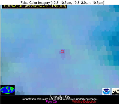
Possible Wildfire
| Basic Information | |
|---|---|
| State/Province(s) | IL |
| Country/Countries | USA |
| County/Locality(s) | Sangamon County, IL |
| NWS WFO | Lincoln IL |
| Identification Method | Enhanced Contextual (Clear) |
| Mean Object Date/Time | 2024-03-23 21:31:49UTC |
| Radiative Center (Lat, Lon): | 39.880000°, -89.800000° |
| Nearby Counties (meeting alert criteria): |
|
| Total Radiative Power Anomaly | n/a |
| Total Radiative Power | 13.84 MW |
| Map: | |
| Additional Information | |
| Alert Status | New Feature |
| Type of Event | Nominal Risk |
| Event Priority Ranking | 4 |
| Maximum Observed BT (3.9 um) | 294.93 K |
| Observed - Background BT (3.9 um) | 3.82 K |
| BT Anomaly (3.9 um) | 2.16 K |
| Maximum Observed - Clear RTM BT (3.9 um) | 16.55 K |
| Maximum Observed BTD (3.9-10/11/12 um) | 12.92 K |
| Observed - Background BTD (3.9-10/11/12 um) | 4.65 K |
| BTD Anomaly (3.9-10/11/12 um) | 4.60 K |
| Similar Pixel Count | 10 |
| BT Time Tendency (3.9 um) | 2.60 K |
| Image Interval | 5.00 minutes |
| Fraction of Surrounding LWIR Pixels that are Colder | 0.20 |
| Fraction of Surrounding Red Channel Pixels that are Brighter | 1.00 |
| Maximum Radiative Power | 13.84 MW |
| Maximum Radiative Power Uncertainty | 0.00 MW |
| Total Radiative Power Uncertainty | 0.00 MW |
| Mean Viewing Angle | 48.80° |
| Mean Solar Zenith Angle | 60.70° |
| Mean Glint Angle | 74.10° |
| Water Fraction | 0.00 |
| Total Pixel Area | 6.90 km2 |
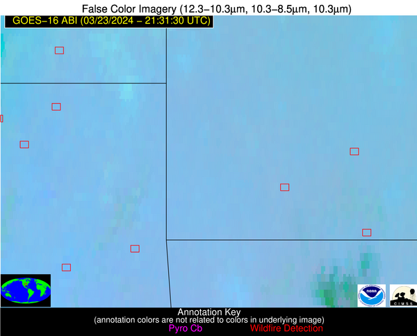
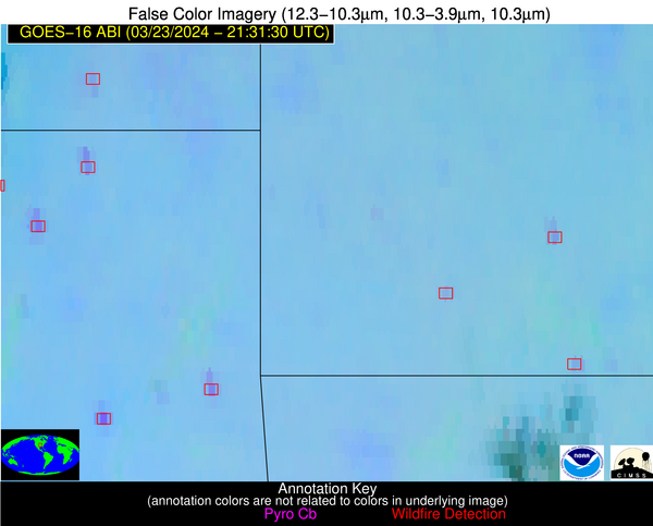
| Latest Satellite Imagery: | |
| View all event imagery » | |
Possible Wildfire
| Basic Information | |
|---|---|
| State/Province(s) | OK |
| Country/Countries | USA |
| County/Locality(s) | Craig County, OK |
| NWS WFO | Tulsa OK |
| Identification Method | Enhanced Contextual (Clear) |
| Mean Object Date/Time | 2024-03-23 21:31:48UTC |
| Radiative Center (Lat, Lon): | 36.920000°, -95.280000° |
| Nearby Counties (meeting alert criteria): |
|
| Total Radiative Power Anomaly | n/a |
| Total Radiative Power | 36.22 MW |
| Map: | |
| Additional Information | |
| Alert Status | New Feature |
| Type of Event | Nominal Risk |
| Event Priority Ranking | 4 |
| Maximum Observed BT (3.9 um) | 299.88 K |
| Observed - Background BT (3.9 um) | 6.79 K |
| BT Anomaly (3.9 um) | 10.43 K |
| Maximum Observed - Clear RTM BT (3.9 um) | 17.02 K |
| Maximum Observed BTD (3.9-10/11/12 um) | 12.16 K |
| Observed - Background BTD (3.9-10/11/12 um) | 6.46 K |
| BTD Anomaly (3.9-10/11/12 um) | 11.40 K |
| Similar Pixel Count | 2 |
| BT Time Tendency (3.9 um) | 5.10 K |
| Image Interval | 5.00 minutes |
| Fraction of Surrounding LWIR Pixels that are Colder | 0.86 |
| Fraction of Surrounding Red Channel Pixels that are Brighter | 1.00 |
| Maximum Radiative Power | 18.33 MW |
| Maximum Radiative Power Uncertainty | 0.00 MW |
| Total Radiative Power Uncertainty | 0.00 MW |
| Mean Viewing Angle | 48.00° |
| Mean Solar Zenith Angle | 55.50° |
| Mean Glint Angle | 66.50° |
| Water Fraction | 0.00 |
| Total Pixel Area | 13.80 km2 |
| Latest Satellite Imagery: | |
| View all event imagery » | |
Possible Wildfire
| Basic Information | |
|---|---|
| State/Province(s) | MO |
| Country/Countries | USA |
| County/Locality(s) | Stone County, MO |
| NWS WFO | Springfield MO |
| Identification Method | Enhanced Contextual (Clear) |
| Mean Object Date/Time | 2024-03-23 21:31:48UTC |
| Radiative Center (Lat, Lon): | 36.520000°, -93.410000° |
| Nearby Counties (meeting alert criteria): |
|
| Total Radiative Power Anomaly | n/a |
| Total Radiative Power | 7.92 MW |
| Map: | |
| Additional Information | |
| Alert Status | New Feature |
| Type of Event | Nominal Risk |
| Event Priority Ranking | 4 |
| Maximum Observed BT (3.9 um) | 293.75 K |
| Observed - Background BT (3.9 um) | 4.13 K |
| BT Anomaly (3.9 um) | 3.46 K |
| Maximum Observed - Clear RTM BT (3.9 um) | 12.21 K |
| Maximum Observed BTD (3.9-10/11/12 um) | 8.14 K |
| Observed - Background BTD (3.9-10/11/12 um) | 3.57 K |
| BTD Anomaly (3.9-10/11/12 um) | 6.52 K |
| Similar Pixel Count | 8 |
| BT Time Tendency (3.9 um) | 2.30 K |
| Image Interval | 5.00 minutes |
| Fraction of Surrounding LWIR Pixels that are Colder | 0.77 |
| Fraction of Surrounding Red Channel Pixels that are Brighter | 1.00 |
| Maximum Radiative Power | 7.92 MW |
| Maximum Radiative Power Uncertainty | 0.00 MW |
| Total Radiative Power Uncertainty | 0.00 MW |
| Mean Viewing Angle | 46.80° |
| Mean Solar Zenith Angle | 56.60° |
| Mean Glint Angle | 67.00° |
| Water Fraction | 0.00 |
| Total Pixel Area | 6.70 km2 |
| Latest Satellite Imagery: | |
| View all event imagery » | |


