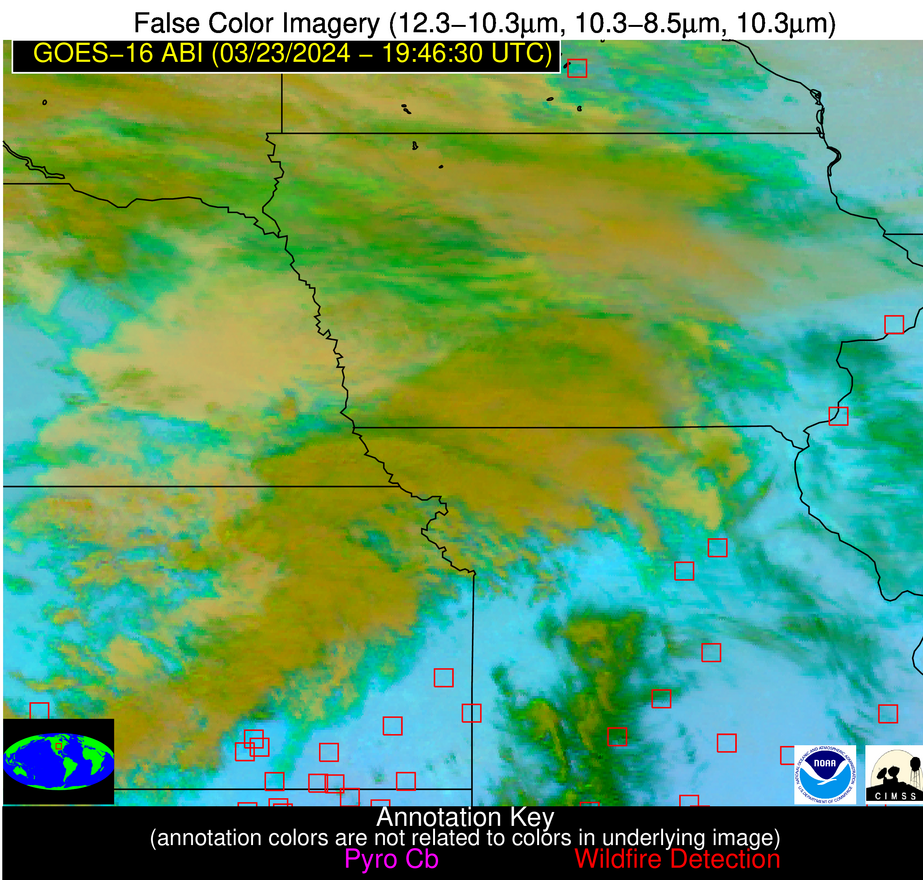
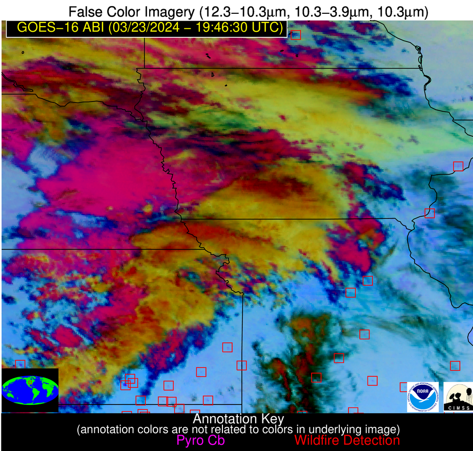
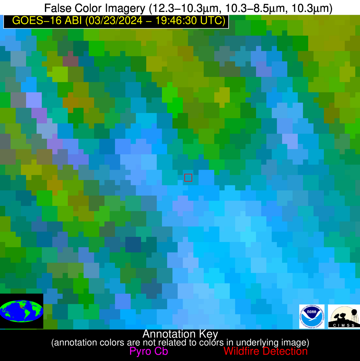
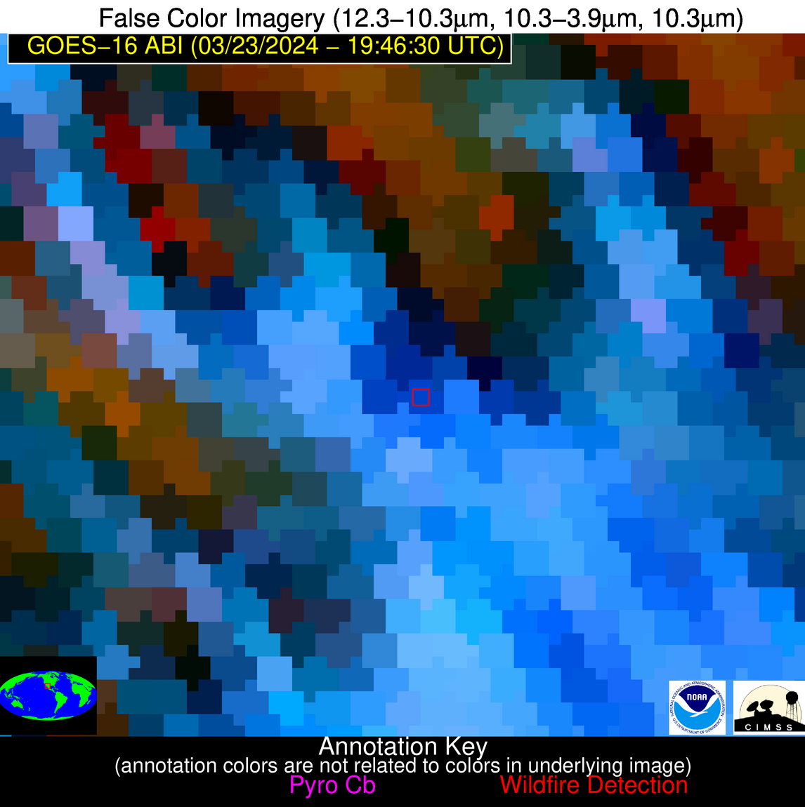
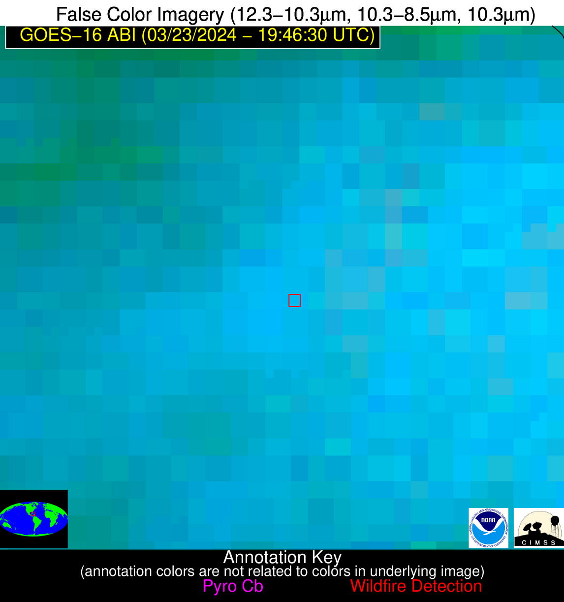
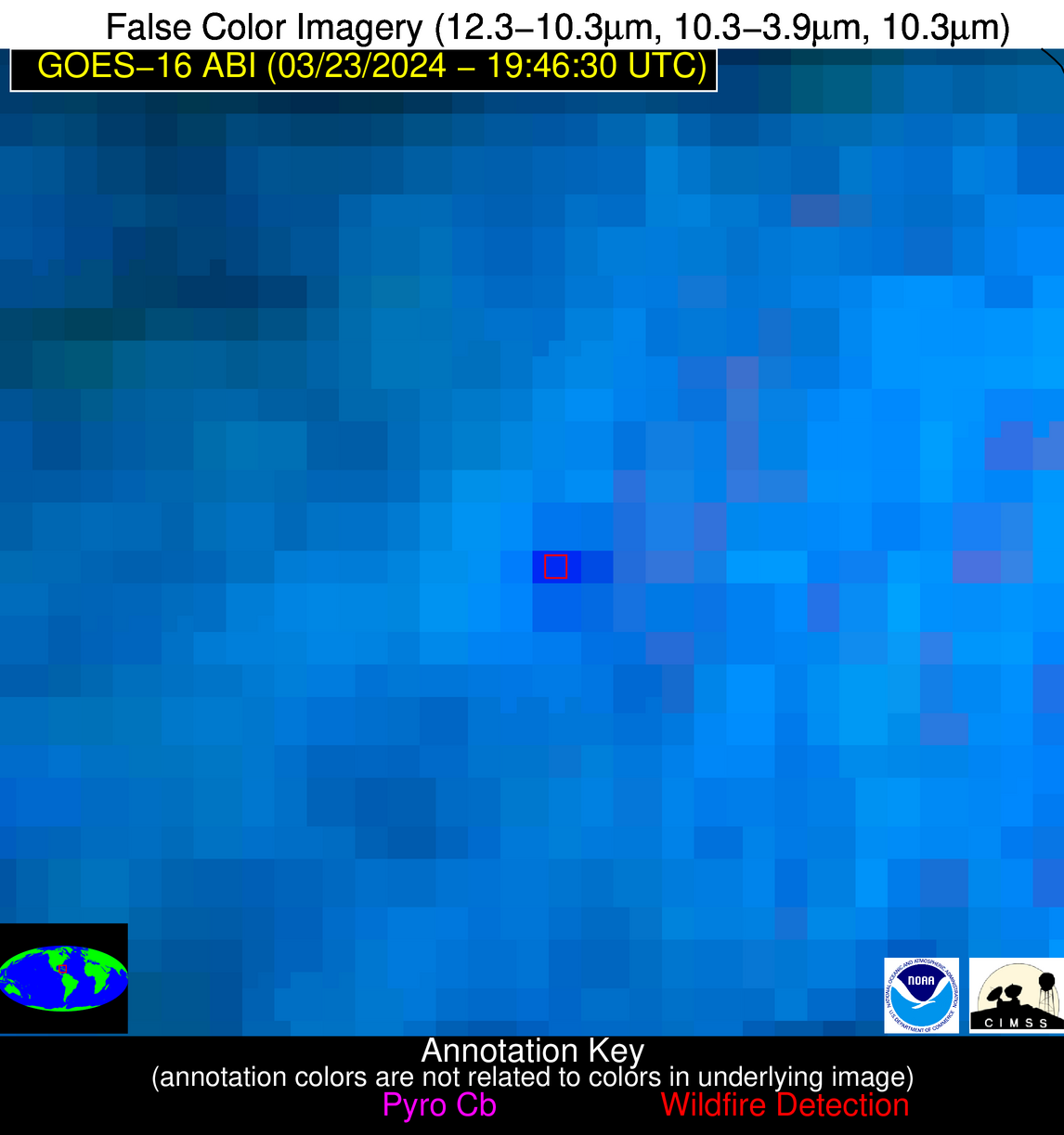
Wildfire Alert Report
| Date: | 2024-03-23 |
|---|---|
| Time: | 19:46:15 |
| Production Date and Time: | 2024-03-23 19:54:09 UTC |
| Primary Instrument: | GOES-16 ABI |
| Wmo Spacecraft Id: | 152 |
| Location/orbit: | GEO |
| L1 File: | OR_ABI-L1b-RadC-M6C14_G16_s20240831946153_e20240831948526_c20240831949016.nc |
| L1 File(s) - Temporal | OR_ABI-L1b-RadC-M6C14_G16_s20240831941153_e20240831943526_c20240831944027.nc |
| Number Of Thermal Anomaly Alerts: | 10 |
Possible Wildfire
| Basic Information | |
|---|---|
| State/Province(s) | MN |
| Country/Countries | USA |
| County/Locality(s) | Waseca County, MN |
| NWS WFO | Twin Cities/Chanhassen MN |
| Identification Method | Enhanced Contextual (Cloud) |
| Mean Object Date/Time | 2024-03-23 19:46:19UTC |
| Radiative Center (Lat, Lon): | 44.140000°, -93.600000° |
| Nearby Counties (meeting alert criteria): |
|
| Total Radiative Power Anomaly | n/a |
| Total Radiative Power | 43.75 MW |
| Map: | |
| Additional Information | |
| Alert Status | New Feature |
| Type of Event | Nominal Risk |
| Event Priority Ranking | 4 |
| Maximum Observed BT (3.9 um) | 292.51 K |
| Observed - Background BT (3.9 um) | 9.88 K |
| BT Anomaly (3.9 um) | 5.94 K |
| Maximum Observed - Clear RTM BT (3.9 um) | 18.75 K |
| Maximum Observed BTD (3.9-10/11/12 um) | 23.47 K |
| Observed - Background BTD (3.9-10/11/12 um) | 9.82 K |
| BTD Anomaly (3.9-10/11/12 um) | 5.15 K |
| Similar Pixel Count | 0 |
| BT Time Tendency (3.9 um) | 4.50 K |
| Image Interval | 5.00 minutes |
| Fraction of Surrounding LWIR Pixels that are Colder | 0.89 |
| Fraction of Surrounding Red Channel Pixels that are Brighter | 0.54 |
| Maximum Radiative Power | 23.32 MW |
| Maximum Radiative Power Uncertainty | 0.00 MW |
| Total Radiative Power Uncertainty | 0.00 MW |
| Mean Viewing Angle | 54.40° |
| Mean Solar Zenith Angle | 47.20° |
| Mean Glint Angle | 86.80° |
| Water Fraction | 0.00 |
| Total Pixel Area | 16.40 km2 |
| Latest Satellite Imagery: | |
| View all event imagery » | |
Possible Wildfire
| Basic Information | |
|---|---|
| State/Province(s) | IA |
| Country/Countries | USA |
| County/Locality(s) | Scott County, IA |
| NWS WFO | Quad Cities IL |
| Identification Method | Enhanced Contextual (Clear) |
| Mean Object Date/Time | 2024-03-23 19:46:49UTC |
| Radiative Center (Lat, Lon): | 41.600000°, -90.540000° |
| Nearby Counties (meeting alert criteria): |
|
| Total Radiative Power Anomaly | n/a |
| Total Radiative Power | 12.77 MW |
| Map: | |
| Additional Information | |
| Alert Status | New Feature |
| Type of Event | Nominal Risk |
| Event Priority Ranking | 4 |
| Maximum Observed BT (3.9 um) | 300.26 K |
| Observed - Background BT (3.9 um) | 5.78 K |
| BT Anomaly (3.9 um) | 3.48 K |
| Maximum Observed - Clear RTM BT (3.9 um) | 23.81 K |
| Maximum Observed BTD (3.9-10/11/12 um) | 15.62 K |
| Observed - Background BTD (3.9-10/11/12 um) | 4.77 K |
| BTD Anomaly (3.9-10/11/12 um) | 3.97 K |
| Similar Pixel Count | 17 |
| BT Time Tendency (3.9 um) | 2.40 K |
| Image Interval | 5.00 minutes |
| Fraction of Surrounding LWIR Pixels that are Colder | 0.89 |
| Fraction of Surrounding Red Channel Pixels that are Brighter | 1.00 |
| Maximum Radiative Power | 12.77 MW |
| Maximum Radiative Power Uncertainty | 0.00 MW |
| Total Radiative Power Uncertainty | 0.00 MW |
| Mean Viewing Angle | 50.80° |
| Mean Solar Zenith Angle | 46.20° |
| Mean Glint Angle | 82.20° |
| Water Fraction | 0.00 |
| Total Pixel Area | 7.30 km2 |
| Latest Satellite Imagery: | |
| View all event imagery » | |
Possible Wildfire
| Basic Information | |
|---|---|
| State/Province(s) | MO |
| Country/Countries | USA |
| County/Locality(s) | Monroe County, MO |
| NWS WFO | St Louis MO |
| Identification Method | Enhanced Contextual (Clear) |
| Mean Object Date/Time | 2024-03-23 19:46:49UTC |
| Radiative Center (Lat, Lon): | 39.390000°, -92.250000° |
| Nearby Counties (meeting alert criteria): |
|
| Total Radiative Power Anomaly | n/a |
| Total Radiative Power | 17.68 MW |
| Map: | |
| Additional Information | |
| Alert Status | New Feature |
| Type of Event | Nominal Risk |
| Event Priority Ranking | 4 |
| Maximum Observed BT (3.9 um) | 300.51 K |
| Observed - Background BT (3.9 um) | 6.27 K |
| BT Anomaly (3.9 um) | 3.89 K |
| Maximum Observed - Clear RTM BT (3.9 um) | 20.17 K |
| Maximum Observed BTD (3.9-10/11/12 um) | 20.79 K |
| Observed - Background BTD (3.9-10/11/12 um) | 6.24 K |
| BTD Anomaly (3.9-10/11/12 um) | 3.90 K |
| Similar Pixel Count | 20 |
| BT Time Tendency (3.9 um) | 5.20 K |
| Image Interval | 5.00 minutes |
| Fraction of Surrounding LWIR Pixels that are Colder | 0.79 |
| Fraction of Surrounding Red Channel Pixels that are Brighter | 0.99 |
| Maximum Radiative Power | 17.68 MW |
| Maximum Radiative Power Uncertainty | 0.00 MW |
| Total Radiative Power Uncertainty | 0.00 MW |
| Mean Viewing Angle | 49.10° |
| Mean Solar Zenith Angle | 43.70° |
| Mean Glint Angle | 77.90° |
| Water Fraction | 0.00 |
| Total Pixel Area | 7.00 km2 |
| Latest Satellite Imagery: | |
| View all event imagery » | |
Possible Wildfire
| Basic Information | |
|---|---|
| State/Province(s) | MO |
| Country/Countries | USA |
| County/Locality(s) | Howard County, MO |
| NWS WFO | Kansas City/Pleasant Hill MO |
| Identification Method | Enhanced Contextual (Clear) |
| Mean Object Date/Time | 2024-03-23 19:46:49UTC |
| Radiative Center (Lat, Lon): | 39.160000°, -92.570000° |
| Nearby Counties (meeting alert criteria): |
|
| Total Radiative Power Anomaly | n/a |
| Total Radiative Power | 14.36 MW |
| Map: | |
| Additional Information | |
| Alert Status | New Feature |
| Type of Event | Nominal Risk |
| Event Priority Ranking | 4 |
| Maximum Observed BT (3.9 um) | 299.06 K |
| Observed - Background BT (3.9 um) | 5.86 K |
| BT Anomaly (3.9 um) | 4.22 K |
| Maximum Observed - Clear RTM BT (3.9 um) | 18.30 K |
| Maximum Observed BTD (3.9-10/11/12 um) | 17.25 K |
| Observed - Background BTD (3.9-10/11/12 um) | 5.65 K |
| BTD Anomaly (3.9-10/11/12 um) | 4.89 K |
| Similar Pixel Count | 13 |
| BT Time Tendency (3.9 um) | 1.70 K |
| Image Interval | 5.00 minutes |
| Fraction of Surrounding LWIR Pixels that are Colder | 0.82 |
| Fraction of Surrounding Red Channel Pixels that are Brighter | 1.00 |
| Maximum Radiative Power | 14.36 MW |
| Maximum Radiative Power Uncertainty | 0.00 MW |
| Total Radiative Power Uncertainty | 0.00 MW |
| Mean Viewing Angle | 49.00° |
| Mean Solar Zenith Angle | 43.30° |
| Mean Glint Angle | 77.40° |
| Water Fraction | 0.00 |
| Total Pixel Area | 7.00 km2 |
| Latest Satellite Imagery: | |
| View all event imagery » | |
Possible Wildfire
| Basic Information | |
|---|---|
| State/Province(s) | KS |
| Country/Countries | USA |
| County/Locality(s) | Bourbon County, KS |
| NWS WFO | Springfield MO |
| Identification Method | Enhanced Contextual (Clear) |
| Mean Object Date/Time | 2024-03-23 19:46:48UTC |
| Radiative Center (Lat, Lon): | 37.750000°, -94.620000° |
| Nearby Counties (meeting alert criteria): |
|
| Total Radiative Power Anomaly | n/a |
| Total Radiative Power | 17.79 MW |
| Map: | |
| Additional Information | |
| Alert Status | New Feature |
| Type of Event | Nominal Risk |
| Event Priority Ranking | 4 |
| Maximum Observed BT (3.9 um) | 301.49 K |
| Observed - Background BT (3.9 um) | 6.42 K |
| BT Anomaly (3.9 um) | 6.92 K |
| Maximum Observed - Clear RTM BT (3.9 um) | 18.64 K |
| Maximum Observed BTD (3.9-10/11/12 um) | 14.48 K |
| Observed - Background BTD (3.9-10/11/12 um) | 5.31 K |
| BTD Anomaly (3.9-10/11/12 um) | 7.16 K |
| Similar Pixel Count | 9 |
| BT Time Tendency (3.9 um) | 2.20 K |
| Image Interval | 5.00 minutes |
| Fraction of Surrounding LWIR Pixels that are Colder | 1.00 |
| Fraction of Surrounding Red Channel Pixels that are Brighter | 1.00 |
| Maximum Radiative Power | 17.79 MW |
| Maximum Radiative Power Uncertainty | 0.00 MW |
| Total Radiative Power Uncertainty | 0.00 MW |
| Mean Viewing Angle | 48.50° |
| Mean Solar Zenith Angle | 41.30° |
| Mean Glint Angle | 74.70° |
| Water Fraction | 0.00 |
| Total Pixel Area | 7.00 km2 |
| Latest Satellite Imagery: | |
| View all event imagery » | |
Possible Wildfire
| Basic Information | |
|---|---|
| State/Province(s) | KS |
| Country/Countries | USA |
| County/Locality(s) | Pratt County, KS |
| NWS WFO | Dodge City KS |
| Identification Method | Enhanced Contextual (Cloud) |
| Mean Object Date/Time | 2024-03-23 19:46:48UTC |
| Radiative Center (Lat, Lon): | 37.770000°, -98.790000° |
| Nearby Counties (meeting alert criteria): |
|
| Total Radiative Power Anomaly | n/a |
| Total Radiative Power | 96.54 MW |
| Map: | |
| Additional Information | |
| Alert Status | New Feature |
| Type of Event | Nominal Risk |
| Event Priority Ranking | 4 |
| Maximum Observed BT (3.9 um) | 309.79 K |
| Observed - Background BT (3.9 um) | 13.21 K |
| BT Anomaly (3.9 um) | 12.44 K |
| Maximum Observed - Clear RTM BT (3.9 um) | 26.35 K |
| Maximum Observed BTD (3.9-10/11/12 um) | 24.85 K |
| Observed - Background BTD (3.9-10/11/12 um) | 12.59 K |
| BTD Anomaly (3.9-10/11/12 um) | 22.30 K |
| Similar Pixel Count | 0 |
| BT Time Tendency (3.9 um) | 13.20 K |
| Image Interval | 5.00 minutes |
| Fraction of Surrounding LWIR Pixels that are Colder | 0.92 |
| Fraction of Surrounding Red Channel Pixels that are Brighter | 1.00 |
| Maximum Radiative Power | 48.92 MW |
| Maximum Radiative Power Uncertainty | 0.00 MW |
| Total Radiative Power Uncertainty | 0.00 MW |
| Mean Viewing Angle | 50.50° |
| Mean Solar Zenith Angle | 39.70° |
| Mean Glint Angle | 75.40° |
| Water Fraction | 0.00 |
| Total Pixel Area | 15.00 km2 |
| Latest Satellite Imagery: | |
| View all event imagery » | |
Possible Wildfire
| Basic Information | |
|---|---|
| State/Province(s) | KS |
| Country/Countries | USA |
| County/Locality(s) | Neosho County, KS |
| NWS WFO | Wichita KS |
| Identification Method | Enhanced Contextual (Clear) |
| Mean Object Date/Time | 2024-03-23 19:46:48UTC |
| Radiative Center (Lat, Lon): | 37.630000°, -95.380000° |
| Nearby Counties (meeting alert criteria): |
|
| Total Radiative Power Anomaly | n/a |
| Total Radiative Power | 6.20 MW |
| Map: | |
| Additional Information | |
| Alert Status | New Feature |
| Type of Event | Nominal Risk |
| Event Priority Ranking | 4 |
| Maximum Observed BT (3.9 um) | 299.36 K |
| Observed - Background BT (3.9 um) | 2.30 K |
| BT Anomaly (3.9 um) | 2.74 K |
| Maximum Observed - Clear RTM BT (3.9 um) | 15.91 K |
| Maximum Observed BTD (3.9-10/11/12 um) | 11.57 K |
| Observed - Background BTD (3.9-10/11/12 um) | 2.22 K |
| BTD Anomaly (3.9-10/11/12 um) | 4.08 K |
| Similar Pixel Count | 25 |
| BT Time Tendency (3.9 um) | 1.30 K |
| Image Interval | 5.00 minutes |
| Fraction of Surrounding LWIR Pixels that are Colder | 0.55 |
| Fraction of Surrounding Red Channel Pixels that are Brighter | 1.00 |
| Maximum Radiative Power | 6.20 MW |
| Maximum Radiative Power Uncertainty | 0.00 MW |
| Total Radiative Power Uncertainty | 0.00 MW |
| Mean Viewing Angle | 48.70° |
| Mean Solar Zenith Angle | 40.80° |
| Mean Glint Angle | 74.50° |
| Water Fraction | 0.00 |
| Total Pixel Area | 7.00 km2 |
| Latest Satellite Imagery: | |
| View all event imagery » | |
Possible Wildfire
| Basic Information | |
|---|---|
| State/Province(s) | KS |
| Country/Countries | USA |
| County/Locality(s) | Chautauqua County, KS |
| NWS WFO | Wichita KS |
| Identification Method | Enhanced Contextual (Clear) |
| Mean Object Date/Time | 2024-03-23 19:46:48UTC |
| Radiative Center (Lat, Lon): | 37.060000°, -96.100000° |
| Nearby Counties (meeting alert criteria): |
|
| Total Radiative Power Anomaly | n/a |
| Total Radiative Power | 6.13 MW |
| Map: | |
| Additional Information | |
| Alert Status | New Feature |
| Type of Event | Nominal Risk |
| Event Priority Ranking | 4 |
| Maximum Observed BT (3.9 um) | 297.35 K |
| Observed - Background BT (3.9 um) | 1.23 K |
| BT Anomaly (3.9 um) | 1.16 K |
| Maximum Observed - Clear RTM BT (3.9 um) | 12.29 K |
| Maximum Observed BTD (3.9-10/11/12 um) | 10.11 K |
| Observed - Background BTD (3.9-10/11/12 um) | 1.98 K |
| BTD Anomaly (3.9-10/11/12 um) | 3.54 K |
| Similar Pixel Count | 25 |
| BT Time Tendency (3.9 um) | 2.10 K |
| Image Interval | 5.00 minutes |
| Fraction of Surrounding LWIR Pixels that are Colder | 0.23 |
| Fraction of Surrounding Red Channel Pixels that are Brighter | 1.00 |
| Maximum Radiative Power | 6.13 MW |
| Maximum Radiative Power Uncertainty | 0.00 MW |
| Total Radiative Power Uncertainty | 0.00 MW |
| Mean Viewing Angle | 48.50° |
| Mean Solar Zenith Angle | 40.10° |
| Mean Glint Angle | 73.50° |
| Water Fraction | 0.00 |
| Total Pixel Area | 7.00 km2 |
| Latest Satellite Imagery: | |
| View all event imagery » | |
Possible Wildfire
| Basic Information | |
|---|---|
| State/Province(s) | Unknown |
| Country/Countries | Mexico |
| County/Locality(s) | Mexico |
| NWS WFO | N/A |
| Identification Method | Enhanced Contextual (Cloud) |
| Mean Object Date/Time | 2024-03-23 19:47:46UTC |
| Radiative Center (Lat, Lon): | 28.820000°, -107.720000° |
| Nearby Counties (meeting alert criteria): |
|
| Total Radiative Power Anomaly | n/a |
| Total Radiative Power | 41.16 MW |
| Map: | |
| Additional Information | |
| Alert Status | New Feature |
| Type of Event | Nominal Risk |
| Event Priority Ranking | 4 |
| Maximum Observed BT (3.9 um) | 303.77 K |
| Observed - Background BT (3.9 um) | 8.81 K |
| BT Anomaly (3.9 um) | 7.10 K |
| Maximum Observed - Clear RTM BT (3.9 um) | 6.58 K |
| Maximum Observed BTD (3.9-10/11/12 um) | 27.25 K |
| Observed - Background BTD (3.9-10/11/12 um) | 8.46 K |
| BTD Anomaly (3.9-10/11/12 um) | 5.11 K |
| Similar Pixel Count | 0 |
| BT Time Tendency (3.9 um) | 4.70 K |
| Image Interval | 5.00 minutes |
| Fraction of Surrounding LWIR Pixels that are Colder | 0.58 |
| Fraction of Surrounding Red Channel Pixels that are Brighter | 0.60 |
| Maximum Radiative Power | 41.16 MW |
| Maximum Radiative Power Uncertainty | 0.00 MW |
| Total Radiative Power Uncertainty | 0.00 MW |
| Mean Viewing Angle | 49.20° |
| Mean Solar Zenith Angle | 28.70° |
| Mean Glint Angle | 64.10° |
| Water Fraction | 0.00 |
| Total Pixel Area | 7.40 km2 |
| Latest Satellite Imagery: | |
| View all event imagery » | |
Possible Wildfire
| Basic Information | |
|---|---|
| State/Province(s) | Unknown |
| Country/Countries | Cuba |
| County/Locality(s) | Cuba |
| NWS WFO | N/A |
| Identification Method | Enhanced Contextual (Cloud) |
| Mean Object Date/Time | 2024-03-23 19:48:20UTC |
| Radiative Center (Lat, Lon): | 21.770000°, -78.280000° |
| Nearby Counties (meeting alert criteria): |
|
| Total Radiative Power Anomaly | n/a |
| Total Radiative Power | 58.14 MW |
| Map: | |
| Additional Information | |
| Alert Status | New Feature |
| Type of Event | Nominal Risk |
| Event Priority Ranking | 4 |
| Maximum Observed BT (3.9 um) | 315.35 K |
| Observed - Background BT (3.9 um) | 13.85 K |
| BT Anomaly (3.9 um) | 14.26 K |
| Maximum Observed - Clear RTM BT (3.9 um) | 11.95 K |
| Maximum Observed BTD (3.9-10/11/12 um) | 30.85 K |
| Observed - Background BTD (3.9-10/11/12 um) | 13.22 K |
| BTD Anomaly (3.9-10/11/12 um) | 13.72 K |
| Similar Pixel Count | 0 |
| BT Time Tendency (3.9 um) | 7.20 K |
| Image Interval | 5.00 minutes |
| Fraction of Surrounding LWIR Pixels that are Colder | 0.89 |
| Fraction of Surrounding Red Channel Pixels that are Brighter | 0.86 |
| Maximum Radiative Power | 58.14 MW |
| Maximum Radiative Power Uncertainty | 0.00 MW |
| Total Radiative Power Uncertainty | 0.00 MW |
| Mean Viewing Angle | 25.80° |
| Mean Solar Zenith Angle | 41.30° |
| Mean Glint Angle | 53.70° |
| Water Fraction | 0.00 |
| Total Pixel Area | 4.60 km2 |
| Latest Satellite Imagery: | |
| View all event imagery » | |
