Wildfire Alert Report
| Date: | 2024-03-22 |
|---|---|
| Time: | 17:41:15 |
| Production Date and Time: | 2024-03-22 17:45:57 UTC |
| Primary Instrument: | GOES-16 ABI |
| Wmo Spacecraft Id: | 152 |
| Location/orbit: | GEO |
| L1 File: | OR_ABI-L1b-RadC-M6C14_G16_s20240821741153_e20240821743526_c20240821744031.nc |
| L1 File(s) - Temporal | OR_ABI-L1b-RadC-M6C14_G16_s20240821736153_e20240821738526_c20240821739024.nc |
| Number Of Thermal Anomaly Alerts: | 3 |
Possible Wildfire
| Basic Information | |
|---|---|
| State/Province(s) | PA |
| Country/Countries | USA |
| County/Locality(s) | Columbia County, PA |
| NWS WFO | State College PA |
| Identification Method | Enhanced Contextual (Clear) |
| Mean Object Date/Time | 2024-03-22 17:41:50UTC |
| Radiative Center (Lat, Lon): | 41.150000°, -76.590000° |
| Nearby Counties (meeting alert criteria): |
|
| Total Radiative Power Anomaly | n/a |
| Total Radiative Power | 21.29 MW |
| Map: | |
| Additional Information | |
| Alert Status | New Feature |
| Type of Event | Nominal Risk |
| Event Priority Ranking | 4 |
| Maximum Observed BT (3.9 um) | 300.09 K |
| Observed - Background BT (3.9 um) | 6.44 K |
| BT Anomaly (3.9 um) | 2.38 K |
| Maximum Observed - Clear RTM BT (3.9 um) | 22.15 K |
| Maximum Observed BTD (3.9-10/11/12 um) | 22.49 K |
| Observed - Background BTD (3.9-10/11/12 um) | 6.53 K |
| BTD Anomaly (3.9-10/11/12 um) | 2.78 K |
| Similar Pixel Count | 14 |
| BT Time Tendency (3.9 um) | 6.40 K |
| Image Interval | 5.00 minutes |
| Fraction of Surrounding LWIR Pixels that are Colder | 0.73 |
| Fraction of Surrounding Red Channel Pixels that are Brighter | 1.00 |
| Maximum Radiative Power | 21.29 MW |
| Maximum Radiative Power Uncertainty | 0.00 MW |
| Total Radiative Power Uncertainty | 0.00 MW |
| Mean Viewing Angle | 47.80° |
| Mean Solar Zenith Angle | 41.10° |
| Mean Glint Angle | 88.20° |
| Water Fraction | 0.00 |
| Total Pixel Area | 6.60 km2 |
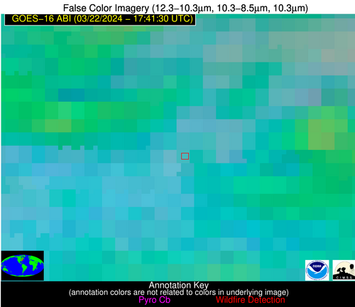
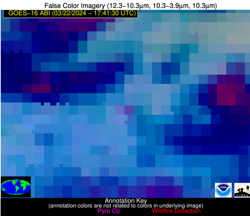
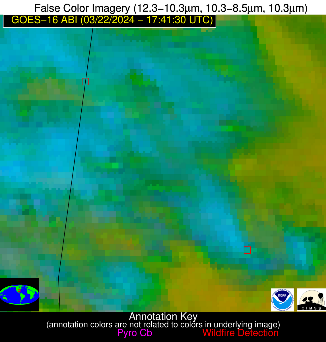
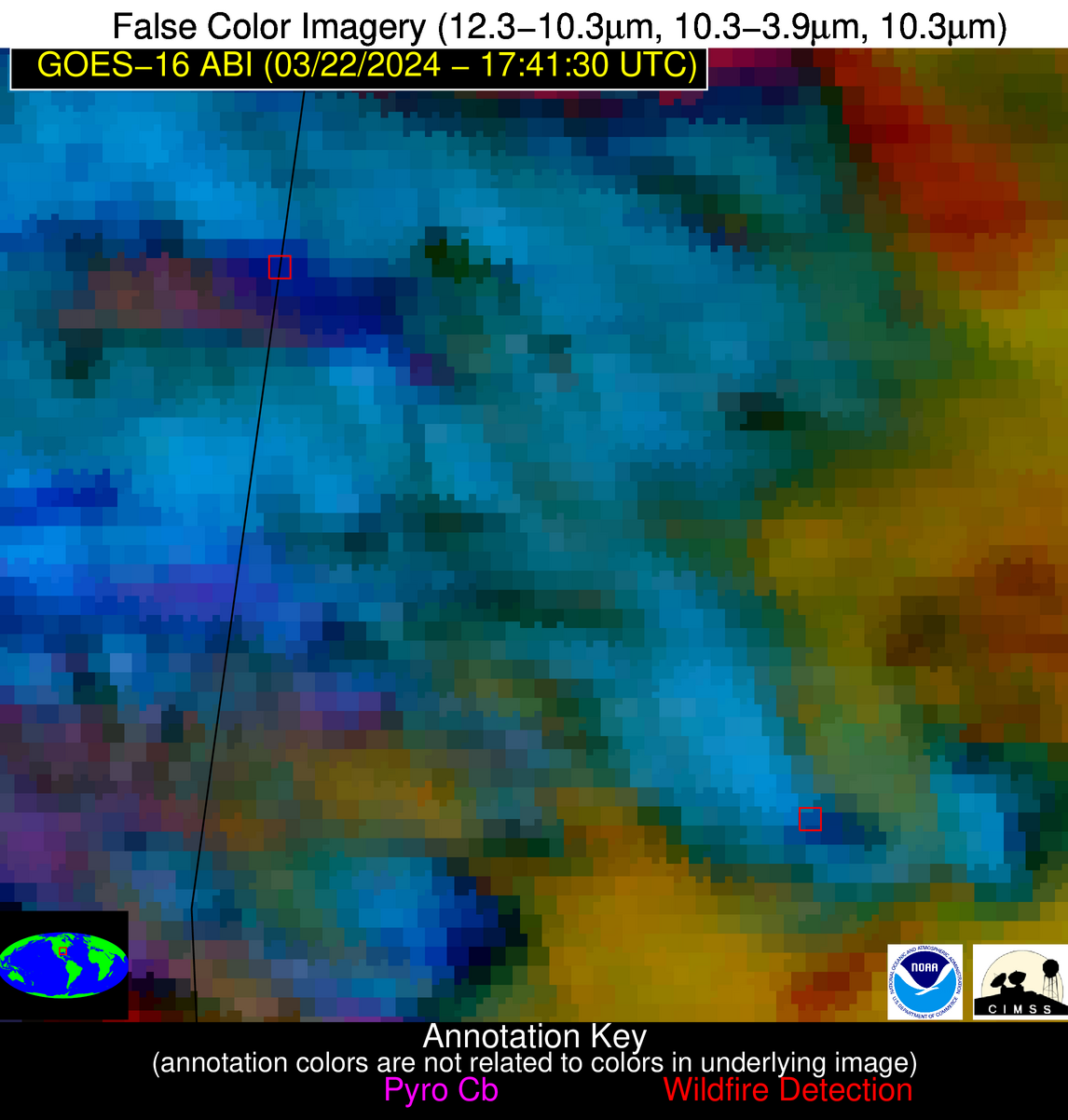
| Latest Satellite Imagery: | |
| View all event imagery » | |
Possible Wildfire
| Basic Information | |
|---|---|
| State/Province(s) | AL |
| Country/Countries | USA |
| County/Locality(s) | Sumter County, AL |
| NWS WFO | Birmingham AL |
| Identification Method | Enhanced Contextual (Cloud) |
| Mean Object Date/Time | 2024-03-22 17:42:19UTC |
| Radiative Center (Lat, Lon): | 32.720000°, -88.370000° |
| Nearby Counties (meeting alert criteria): |
|
| Total Radiative Power Anomaly | n/a |
| Total Radiative Power | 61.31 MW |
| Map: | |
| Additional Information | |
| Alert Status | New Feature |
| Type of Event | Nominal Risk |
| Event Priority Ranking | 4 |
| Maximum Observed BT (3.9 um) | 298.88 K |
| Observed - Background BT (3.9 um) | 10.15 K |
| BT Anomaly (3.9 um) | 4.32 K |
| Maximum Observed - Clear RTM BT (3.9 um) | 14.81 K |
| Maximum Observed BTD (3.9-10/11/12 um) | 32.34 K |
| Observed - Background BTD (3.9-10/11/12 um) | 10.17 K |
| BTD Anomaly (3.9-10/11/12 um) | 4.16 K |
| Similar Pixel Count | 0 |
| BT Time Tendency (3.9 um) | 11.50 K |
| Image Interval | 5.00 minutes |
| Fraction of Surrounding LWIR Pixels that are Colder | 0.60 |
| Fraction of Surrounding Red Channel Pixels that are Brighter | 0.38 |
| Maximum Radiative Power | 36.46 MW |
| Maximum Radiative Power Uncertainty | 0.00 MW |
| Total Radiative Power Uncertainty | 0.00 MW |
| Mean Viewing Angle | 40.80° |
| Mean Solar Zenith Angle | 32.50° |
| Mean Glint Angle | 72.60° |
| Water Fraction | 0.00 |
| Total Pixel Area | 11.60 km2 |
| Latest Satellite Imagery: | |
| View all event imagery » | |
Possible Wildfire
| Basic Information | |
|---|---|
| State/Province(s) | AL |
| Country/Countries | USA |
| County/Locality(s) | Marengo County, AL |
| NWS WFO | Birmingham AL |
| Identification Method | Enhanced Contextual (Cloud) |
| Mean Object Date/Time | 2024-03-22 17:42:19UTC |
| Radiative Center (Lat, Lon): | 32.000000°, -87.760000° |
| Nearby Counties (meeting alert criteria): |
|
| Total Radiative Power Anomaly | n/a |
| Total Radiative Power | 55.90 MW |
| Map: | |
| Additional Information | |
| Alert Status | New Feature |
| Type of Event | Nominal Risk |
| Event Priority Ranking | 4 |
| Maximum Observed BT (3.9 um) | 292.84 K |
| Observed - Background BT (3.9 um) | 7.90 K |
| BT Anomaly (3.9 um) | 4.53 K |
| Maximum Observed - Clear RTM BT (3.9 um) | 7.97 K |
| Maximum Observed BTD (3.9-10/11/12 um) | 27.48 K |
| Observed - Background BTD (3.9-10/11/12 um) | 8.13 K |
| BTD Anomaly (3.9-10/11/12 um) | 7.71 K |
| Similar Pixel Count | 0 |
| BT Time Tendency (3.9 um) | 24.10 K |
| Image Interval | 5.00 minutes |
| Fraction of Surrounding LWIR Pixels that are Colder | 0.75 |
| Fraction of Surrounding Red Channel Pixels that are Brighter | 0.96 |
| Maximum Radiative Power | 32.49 MW |
| Maximum Radiative Power Uncertainty | 0.00 MW |
| Total Radiative Power Uncertainty | 0.00 MW |
| Mean Viewing Angle | 39.80° |
| Mean Solar Zenith Angle | 31.70° |
| Mean Glint Angle | 70.80° |
| Water Fraction | 0.00 |
| Total Pixel Area | 11.40 km2 |
| Latest Satellite Imagery: | |
| View all event imagery » | |


