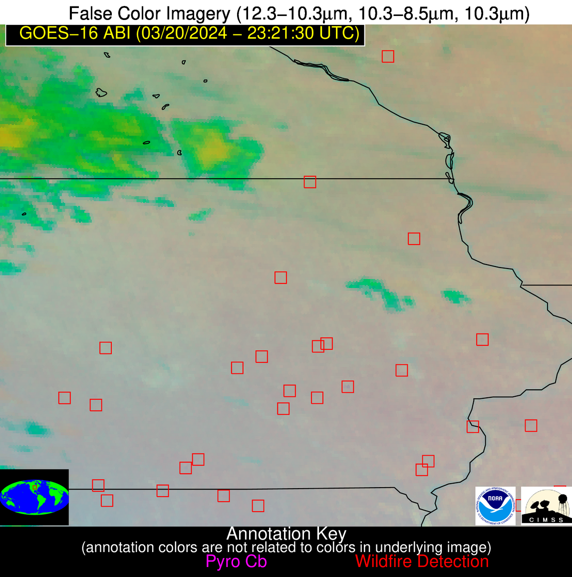
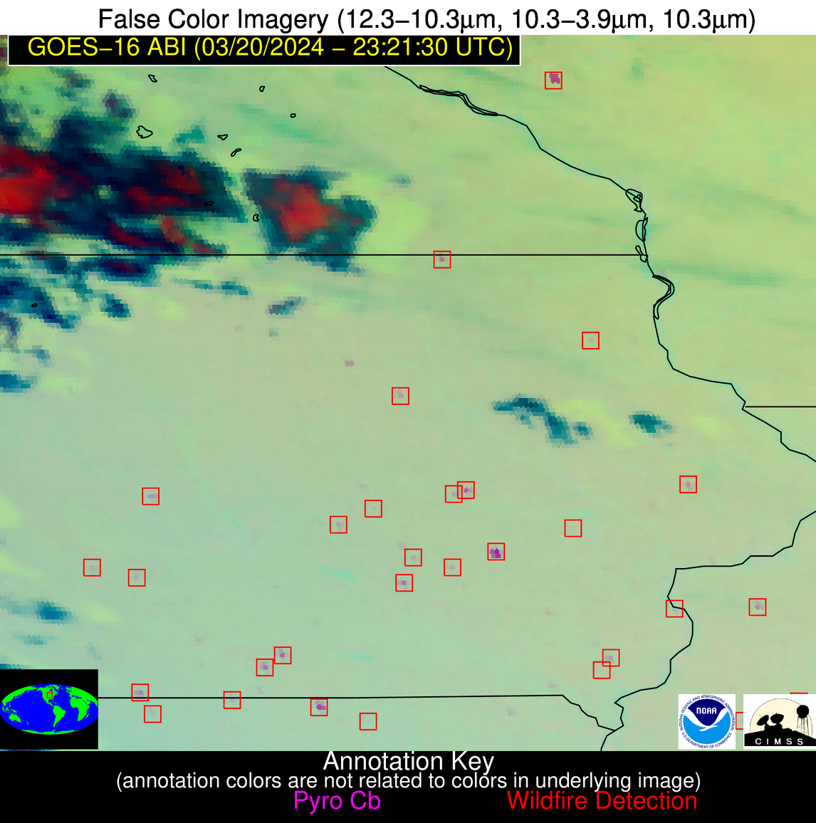
Wildfire Alert Report
| Date: | 2024-03-20 |
|---|---|
| Time: | 23:21:15 |
| Production Date and Time: | 2024-03-20 23:26:51 UTC |
| Primary Instrument: | GOES-16 ABI |
| Wmo Spacecraft Id: | 152 |
| Location/orbit: | GEO |
| L1 File: | OR_ABI-L1b-RadC-M6C14_G16_s20240802321152_e20240802323525_c20240802324007.nc |
| L1 File(s) - Temporal | OR_ABI-L1b-RadC-M6C14_G16_s20240802311152_e20240802313525_c20240802314014.nc |
| Number Of Thermal Anomaly Alerts: | 11 |
Possible Wildfire
| Basic Information | |
|---|---|
| State/Province(s) | WI |
| Country/Countries | USA |
| County/Locality(s) | Pepin County, WI |
| NWS WFO | Twin Cities/Chanhassen MN |
| Identification Method | Enhanced Contextual (Cloud) |
| Mean Object Date/Time | 2024-03-20 23:21:19UTC |
| Radiative Center (Lat, Lon): | 44.650000°, -91.790000° |
| Nearby Counties (meeting alert criteria): |
|
| Total Radiative Power Anomaly | n/a |
| Total Radiative Power | 122.38 MW |
| Map: | |
| Additional Information | |
| Alert Status | New Feature |
| Type of Event | Nominal Risk |
| Event Priority Ranking | 4 |
| Maximum Observed BT (3.9 um) | 289.67 K |
| Observed - Background BT (3.9 um) | 19.11 K |
| BT Anomaly (3.9 um) | 49.67 K |
| Maximum Observed - Clear RTM BT (3.9 um) | 22.42 K |
| Maximum Observed BTD (3.9-10/11/12 um) | 21.29 K |
| Observed - Background BTD (3.9-10/11/12 um) | 18.20 K |
| BTD Anomaly (3.9-10/11/12 um) | 40.80 K |
| Similar Pixel Count | 0 |
| BT Time Tendency (3.9 um) | 13.60 K |
| Image Interval | 10.00 minutes |
| Fraction of Surrounding LWIR Pixels that are Colder | 0.92 |
| Fraction of Surrounding Red Channel Pixels that are Brighter | 0.87 |
| Maximum Radiative Power | 32.79 MW |
| Maximum Radiative Power Uncertainty | 0.00 MW |
| Total Radiative Power Uncertainty | 0.00 MW |
| Mean Viewing Angle | 54.30° |
| Mean Solar Zenith Angle | 80.70° |
| Mean Glint Angle | 73.80° |
| Water Fraction | 0.00 |
| Total Pixel Area | 32.40 km2 |
| Latest Satellite Imagery: | |
| View all event imagery » | |
Possible Wildfire
| Basic Information | |
|---|---|
| State/Province(s) | IA |
| Country/Countries | USA |
| County/Locality(s) | Howard County, IA |
| NWS WFO | La Crosse WI |
| Identification Method | Enhanced Contextual (Clear) |
| Mean Object Date/Time | 2024-03-20 23:21:19UTC |
| Radiative Center (Lat, Lon): | 43.470000°, -92.460000° |
| Nearby Counties (meeting alert criteria): |
|
| Total Radiative Power Anomaly | n/a |
| Total Radiative Power | 16.08 MW |
| Map: | |
| Additional Information | |
| Alert Status | New Feature |
| Type of Event | Nominal Risk |
| Event Priority Ranking | 4 |
| Maximum Observed BT (3.9 um) | 283.50 K |
| Observed - Background BT (3.9 um) | 10.59 K |
| BT Anomaly (3.9 um) | 9.41 K |
| Maximum Observed - Clear RTM BT (3.9 um) | 14.15 K |
| Maximum Observed BTD (3.9-10/11/12 um) | 14.12 K |
| Observed - Background BTD (3.9-10/11/12 um) | 10.51 K |
| BTD Anomaly (3.9-10/11/12 um) | 13.11 K |
| Similar Pixel Count | 1 |
| BT Time Tendency (3.9 um) | 7.50 K |
| Image Interval | 10.00 minutes |
| Fraction of Surrounding LWIR Pixels that are Colder | 0.47 |
| Fraction of Surrounding Red Channel Pixels that are Brighter | 0.93 |
| Maximum Radiative Power | 16.08 MW |
| Maximum Radiative Power Uncertainty | 0.00 MW |
| Total Radiative Power Uncertainty | 0.00 MW |
| Mean Viewing Angle | 53.30° |
| Mean Solar Zenith Angle | 80.00° |
| Mean Glint Angle | 72.50° |
| Water Fraction | 0.00 |
| Total Pixel Area | 7.90 km2 |
| Latest Satellite Imagery: | |
| View all event imagery » | |
Possible Wildfire
| Basic Information | |
|---|---|
| State/Province(s) | ID |
| Country/Countries | USA |
| County/Locality(s) | Clark County, ID |
| NWS WFO | Pocatello ID |
| Identification Method | Enhanced Contextual (Clear) |
| Mean Object Date/Time | 2024-03-20 23:21:17UTC |
| Radiative Center (Lat, Lon): | 44.150000°, -112.450000° |
| Nearby Counties (meeting alert criteria): |
|
| Total Radiative Power Anomaly | n/a |
| Total Radiative Power | 22.37 MW |
| Map: | |
| Additional Information | |
| Alert Status | New Feature |
| Type of Event | Nominal Risk |
| Event Priority Ranking | 4 |
| Maximum Observed BT (3.9 um) | 297.58 K |
| Observed - Background BT (3.9 um) | 5.66 K |
| BT Anomaly (3.9 um) | 5.52 K |
| Maximum Observed - Clear RTM BT (3.9 um) | 15.30 K |
| Maximum Observed BTD (3.9-10/11/12 um) | 14.78 K |
| Observed - Background BTD (3.9-10/11/12 um) | 5.62 K |
| BTD Anomaly (3.9-10/11/12 um) | 4.37 K |
| Similar Pixel Count | 10 |
| BT Time Tendency (3.9 um) | 4.40 K |
| Image Interval | 10.00 minutes |
| Fraction of Surrounding LWIR Pixels that are Colder | 0.79 |
| Fraction of Surrounding Red Channel Pixels that are Brighter | 0.99 |
| Maximum Radiative Power | 22.37 MW |
| Maximum Radiative Power Uncertainty | 0.00 MW |
| Total Radiative Power Uncertainty | 0.00 MW |
| Mean Viewing Angle | 63.30° |
| Mean Solar Zenith Angle | 66.50° |
| Mean Glint Angle | 60.80° |
| Water Fraction | 0.00 |
| Total Pixel Area | 13.20 km2 |
| Latest Satellite Imagery: | |
| View all event imagery » | |
Possible Wildfire
| Basic Information | |
|---|---|
| State/Province(s) | IA |
| Country/Countries | USA |
| County/Locality(s) | Jasper County, IA |
| NWS WFO | Des Moines IA |
| Identification Method | Enhanced Contextual (Clear) |
| Mean Object Date/Time | 2024-03-20 23:21:49UTC |
| Radiative Center (Lat, Lon): | 41.720000°, -93.080000° |
| Nearby Counties (meeting alert criteria): |
|
| Total Radiative Power Anomaly | n/a |
| Total Radiative Power | 8.54 MW |
| Map: | |
| Additional Information | |
| Alert Status | New Feature |
| Type of Event | Nominal Risk |
| Event Priority Ranking | 4 |
| Maximum Observed BT (3.9 um) | 282.72 K |
| Observed - Background BT (3.9 um) | 5.45 K |
| BT Anomaly (3.9 um) | 27.16 K |
| Maximum Observed - Clear RTM BT (3.9 um) | 10.07 K |
| Maximum Observed BTD (3.9-10/11/12 um) | 8.38 K |
| Observed - Background BTD (3.9-10/11/12 um) | 5.25 K |
| BTD Anomaly (3.9-10/11/12 um) | 26.65 K |
| Similar Pixel Count | 2 |
| BT Time Tendency (3.9 um) | 4.10 K |
| Image Interval | 10.00 minutes |
| Fraction of Surrounding LWIR Pixels that are Colder | 0.70 |
| Fraction of Surrounding Red Channel Pixels that are Brighter | 1.00 |
| Maximum Radiative Power | 8.54 MW |
| Maximum Radiative Power Uncertainty | 0.00 MW |
| Total Radiative Power Uncertainty | 0.00 MW |
| Mean Viewing Angle | 51.80° |
| Mean Solar Zenith Angle | 79.30° |
| Mean Glint Angle | 71.00° |
| Water Fraction | 0.00 |
| Total Pixel Area | 7.60 km2 |
| Latest Satellite Imagery: | |
| View all event imagery » | |
Possible Wildfire
| Basic Information | |
|---|---|
| State/Province(s) | IA |
| Country/Countries | USA |
| County/Locality(s) | Mahaska County, IA |
| NWS WFO | Des Moines IA |
| Identification Method | Enhanced Contextual (Clear) |
| Mean Object Date/Time | 2024-03-20 23:21:49UTC |
| Radiative Center (Lat, Lon): | 41.340000°, -92.690000° |
| Nearby Counties (meeting alert criteria): |
|
| Total Radiative Power Anomaly | n/a |
| Total Radiative Power | 20.81 MW |
| Map: | |
| Additional Information | |
| Alert Status | New Feature |
| Type of Event | Nominal Risk |
| Event Priority Ranking | 4 |
| Maximum Observed BT (3.9 um) | 288.80 K |
| Observed - Background BT (3.9 um) | 11.27 K |
| BT Anomaly (3.9 um) | 29.04 K |
| Maximum Observed - Clear RTM BT (3.9 um) | 15.76 K |
| Maximum Observed BTD (3.9-10/11/12 um) | 14.35 K |
| Observed - Background BTD (3.9-10/11/12 um) | 11.49 K |
| BTD Anomaly (3.9-10/11/12 um) | 25.72 K |
| Similar Pixel Count | 1 |
| BT Time Tendency (3.9 um) | 8.30 K |
| Image Interval | 10.00 minutes |
| Fraction of Surrounding LWIR Pixels that are Colder | 0.34 |
| Fraction of Surrounding Red Channel Pixels that are Brighter | 0.71 |
| Maximum Radiative Power | 20.81 MW |
| Maximum Radiative Power Uncertainty | 0.00 MW |
| Total Radiative Power Uncertainty | 0.00 MW |
| Mean Viewing Angle | 51.30° |
| Mean Solar Zenith Angle | 79.50° |
| Mean Glint Angle | 71.10° |
| Water Fraction | 0.00 |
| Total Pixel Area | 7.50 km2 |
| Latest Satellite Imagery: | |
| View all event imagery » | |
Possible Wildfire
| Basic Information | |
|---|---|
| State/Province(s) | IL |
| Country/Countries | USA |
| County/Locality(s) | Mercer County, IL |
| NWS WFO | Quad Cities IL |
| Identification Method | Enhanced Contextual (Clear) |
| Mean Object Date/Time | 2024-03-20 23:21:49UTC |
| Radiative Center (Lat, Lon): | 41.180000°, -90.560000° |
| Nearby Counties (meeting alert criteria): |
|
| Total Radiative Power Anomaly | n/a |
| Total Radiative Power | 22.49 MW |
| Map: | |
| Additional Information | |
| Alert Status | New Feature |
| Type of Event | Nominal Risk |
| Event Priority Ranking | 4 |
| Maximum Observed BT (3.9 um) | 284.93 K |
| Observed - Background BT (3.9 um) | 8.69 K |
| BT Anomaly (3.9 um) | 86.90 K |
| Maximum Observed - Clear RTM BT (3.9 um) | 12.53 K |
| Maximum Observed BTD (3.9-10/11/12 um) | 10.81 K |
| Observed - Background BTD (3.9-10/11/12 um) | 8.57 K |
| BTD Anomaly (3.9-10/11/12 um) | 32.09 K |
| Similar Pixel Count | 2 |
| BT Time Tendency (3.9 um) | 6.10 K |
| Image Interval | 10.00 minutes |
| Fraction of Surrounding LWIR Pixels that are Colder | 0.63 |
| Fraction of Surrounding Red Channel Pixels that are Brighter | 1.00 |
| Maximum Radiative Power | 22.49 MW |
| Maximum Radiative Power Uncertainty | 0.00 MW |
| Total Radiative Power Uncertainty | 0.00 MW |
| Mean Viewing Angle | 50.40° |
| Mean Solar Zenith Angle | 81.10° |
| Mean Glint Angle | 73.20° |
| Water Fraction | 0.00 |
| Total Pixel Area | 14.40 km2 |
| Latest Satellite Imagery: | |
| View all event imagery » | |
Possible Wildfire
| Basic Information | |
|---|---|
| State/Province(s) | IA |
| Country/Countries | USA |
| County/Locality(s) | Wayne County, IA |
| NWS WFO | Des Moines IA |
| Identification Method | Enhanced Contextual (Cloud) |
| Mean Object Date/Time | 2024-03-20 23:21:48UTC |
| Radiative Center (Lat, Lon): | 40.860000°, -93.420000° |
| Nearby Counties (meeting alert criteria): |
|
| Total Radiative Power Anomaly | n/a |
| Total Radiative Power | 26.45 MW |
| Map: | |
| Additional Information | |
| Alert Status | New Feature |
| Type of Event | Nominal Risk |
| Event Priority Ranking | 4 |
| Maximum Observed BT (3.9 um) | 291.56 K |
| Observed - Background BT (3.9 um) | 13.59 K |
| BT Anomaly (3.9 um) | 12.22 K |
| Maximum Observed - Clear RTM BT (3.9 um) | 18.03 K |
| Maximum Observed BTD (3.9-10/11/12 um) | 16.34 K |
| Observed - Background BTD (3.9-10/11/12 um) | 13.56 K |
| BTD Anomaly (3.9-10/11/12 um) | 12.33 K |
| Similar Pixel Count | 0 |
| BT Time Tendency (3.9 um) | 10.30 K |
| Image Interval | 10.00 minutes |
| Fraction of Surrounding LWIR Pixels that are Colder | 0.59 |
| Fraction of Surrounding Red Channel Pixels that are Brighter | 1.00 |
| Maximum Radiative Power | 26.45 MW |
| Maximum Radiative Power Uncertainty | 0.00 MW |
| Total Radiative Power Uncertainty | 0.00 MW |
| Mean Viewing Angle | 51.10° |
| Mean Solar Zenith Angle | 78.90° |
| Mean Glint Angle | 70.10° |
| Water Fraction | 0.00 |
| Total Pixel Area | 7.40 km2 |
| Latest Satellite Imagery: | |
| View all event imagery » | |
Possible Wildfire
| Basic Information | |
|---|---|
| State/Province(s) | IA |
| Country/Countries | USA |
| County/Locality(s) | Wayne County, IA |
| NWS WFO | Des Moines IA |
| Identification Method | Enhanced Contextual (Clear) |
| Mean Object Date/Time | 2024-03-20 23:21:48UTC |
| Radiative Center (Lat, Lon): | 40.780000°, -93.530000° |
| Nearby Counties (meeting alert criteria): |
|
| Total Radiative Power Anomaly | n/a |
| Total Radiative Power | 22.89 MW |
| Map: | |
| Additional Information | |
| Alert Status | New Feature |
| Type of Event | Nominal Risk |
| Event Priority Ranking | 4 |
| Maximum Observed BT (3.9 um) | 290.27 K |
| Observed - Background BT (3.9 um) | 12.12 K |
| BT Anomaly (3.9 um) | 10.41 K |
| Maximum Observed - Clear RTM BT (3.9 um) | 16.32 K |
| Maximum Observed BTD (3.9-10/11/12 um) | 14.66 K |
| Observed - Background BTD (3.9-10/11/12 um) | 11.88 K |
| BTD Anomaly (3.9-10/11/12 um) | 10.08 K |
| Similar Pixel Count | 1 |
| BT Time Tendency (3.9 um) | 9.10 K |
| Image Interval | 10.00 minutes |
| Fraction of Surrounding LWIR Pixels that are Colder | 0.79 |
| Fraction of Surrounding Red Channel Pixels that are Brighter | 0.28 |
| Maximum Radiative Power | 22.89 MW |
| Maximum Radiative Power Uncertainty | 0.00 MW |
| Total Radiative Power Uncertainty | 0.00 MW |
| Mean Viewing Angle | 51.00° |
| Mean Solar Zenith Angle | 78.80° |
| Mean Glint Angle | 70.00° |
| Water Fraction | 0.00 |
| Total Pixel Area | 7.40 km2 |
| Latest Satellite Imagery: | |
| View all event imagery » | |
Possible Wildfire
| Basic Information | |
|---|---|
| State/Province(s) | MO |
| Country/Countries | USA |
| County/Locality(s) | Nodaway County, MO |
| NWS WFO | Kansas City/Pleasant Hill MO |
| Identification Method | Enhanced Contextual (Clear) |
| Mean Object Date/Time | 2024-03-20 23:21:48UTC |
| Radiative Center (Lat, Lon): | 40.470000°, -94.770000° |
| Nearby Counties (meeting alert criteria): |
|
| Total Radiative Power Anomaly | n/a |
| Total Radiative Power | 16.45 MW |
| Map: | |
| Additional Information | |
| Alert Status | New Feature |
| Type of Event | Nominal Risk |
| Event Priority Ranking | 4 |
| Maximum Observed BT (3.9 um) | 286.42 K |
| Observed - Background BT (3.9 um) | 7.96 K |
| BT Anomaly (3.9 um) | 5.79 K |
| Maximum Observed - Clear RTM BT (3.9 um) | 10.40 K |
| Maximum Observed BTD (3.9-10/11/12 um) | 11.13 K |
| Observed - Background BTD (3.9-10/11/12 um) | 8.31 K |
| BTD Anomaly (3.9-10/11/12 um) | 6.70 K |
| Similar Pixel Count | 1 |
| BT Time Tendency (3.9 um) | 4.90 K |
| Image Interval | 10.00 minutes |
| Fraction of Surrounding LWIR Pixels that are Colder | 0.43 |
| Fraction of Surrounding Red Channel Pixels that are Brighter | 1.00 |
| Maximum Radiative Power | 16.45 MW |
| Maximum Radiative Power Uncertainty | 0.00 MW |
| Total Radiative Power Uncertainty | 0.00 MW |
| Mean Viewing Angle | 51.20° |
| Mean Solar Zenith Angle | 77.80° |
| Mean Glint Angle | 68.60° |
| Water Fraction | 0.00 |
| Total Pixel Area | 7.50 km2 |
| Latest Satellite Imagery: | |
| View all event imagery » | |
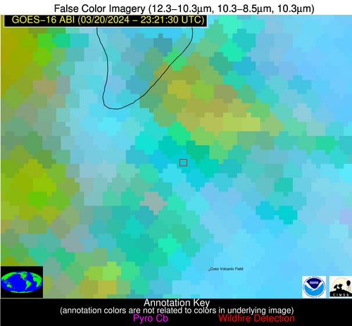
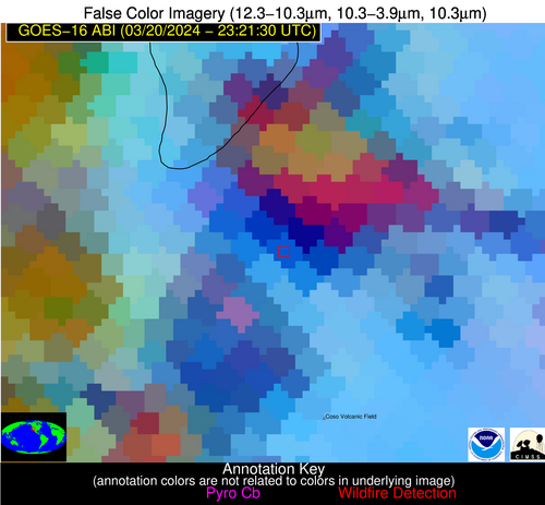
Possible Wildfire
| Basic Information | |
|---|---|
| State/Province(s) | CA |
| Country/Countries | USA |
| County/Locality(s) | Inyo County, CA |
| NWS WFO | Las Vegas NV |
| Identification Method | Enhanced Contextual (Cloud) |
| Mean Object Date/Time | 2024-03-20 23:22:16UTC |
| Radiative Center (Lat, Lon): | 36.220000°, -117.870000° |
| Nearby Counties (meeting alert criteria): |
|
| Total Radiative Power Anomaly | n/a |
| Total Radiative Power | 20.77 MW |
| Map: | |
| Additional Information | |
| Alert Status | New Feature |
| Type of Event | Likely an Urban Source |
| Event Priority Ranking | 5 |
| Maximum Observed BT (3.9 um) | 302.40 K |
| Observed - Background BT (3.9 um) | 9.11 K |
| BT Anomaly (3.9 um) | 4.14 K |
| Maximum Observed - Clear RTM BT (3.9 um) | 12.53 K |
| Maximum Observed BTD (3.9-10/11/12 um) | 22.57 K |
| Observed - Background BTD (3.9-10/11/12 um) | 9.02 K |
| BTD Anomaly (3.9-10/11/12 um) | 4.06 K |
| Similar Pixel Count | 0 |
| BT Time Tendency (3.9 um) | 3.10 K |
| Image Interval | 10.00 minutes |
| Fraction of Surrounding LWIR Pixels that are Colder | 0.56 |
| Fraction of Surrounding Red Channel Pixels that are Brighter | 0.43 |
| Maximum Radiative Power | 20.77 MW |
| Maximum Radiative Power Uncertainty | 0.00 MW |
| Total Radiative Power Uncertainty | 0.00 MW |
| Mean Viewing Angle | 61.60° |
| Mean Solar Zenith Angle | 59.30° |
| Mean Glint Angle | 50.60° |
| Water Fraction | 0.00 |
| Total Pixel Area | 12.50 km2 |
| Latest Satellite Imagery: | |
| View all event imagery » | |
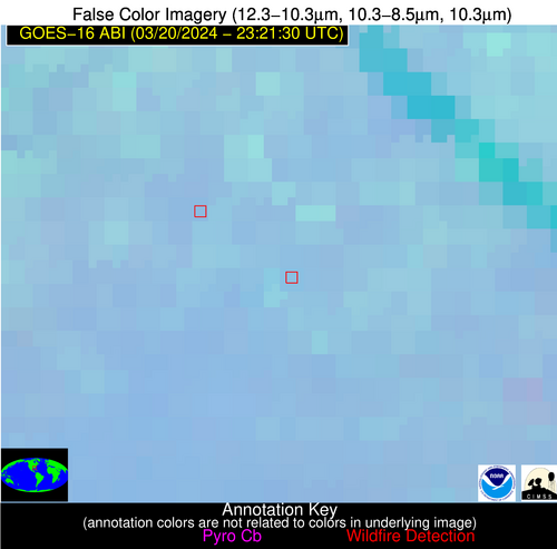
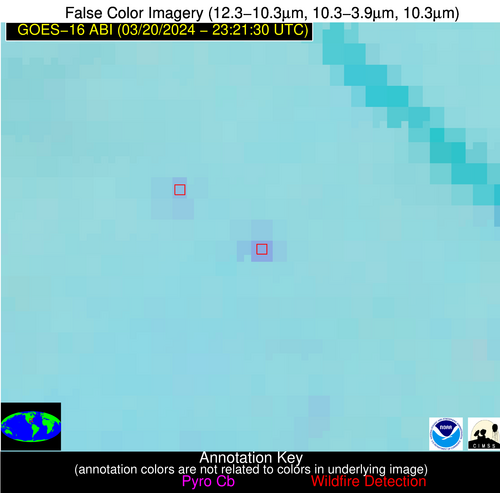
Possible Wildfire
| Basic Information | |
|---|---|
| State/Province(s) | GA |
| Country/Countries | USA |
| County/Locality(s) | Thomas County, GA |
| NWS WFO | Tallahassee FL |
| Identification Method | Enhanced Contextual (Clear) |
| Mean Object Date/Time | 2024-03-20 23:22:19UTC |
| Radiative Center (Lat, Lon): | 30.980000°, -83.900000° |
| Nearby Counties (meeting alert criteria): |
|
| Total Radiative Power Anomaly | n/a |
| Total Radiative Power | 11.79 MW |
| Map: | |
| Additional Information | |
| Alert Status | New Feature |
| Type of Event | Nominal Risk |
| Event Priority Ranking | 4 |
| Maximum Observed BT (3.9 um) | 294.01 K |
| Observed - Background BT (3.9 um) | 6.65 K |
| BT Anomaly (3.9 um) | 11.55 K |
| Maximum Observed - Clear RTM BT (3.9 um) | 9.73 K |
| Maximum Observed BTD (3.9-10/11/12 um) | 8.03 K |
| Observed - Background BTD (3.9-10/11/12 um) | 6.26 K |
| BTD Anomaly (3.9-10/11/12 um) | 16.60 K |
| Similar Pixel Count | 1 |
| BT Time Tendency (3.9 um) | 3.40 K |
| Image Interval | 10.00 minutes |
| Fraction of Surrounding LWIR Pixels that are Colder | 0.83 |
| Fraction of Surrounding Red Channel Pixels that are Brighter | 1.00 |
| Maximum Radiative Power | 11.79 MW |
| Maximum Radiative Power Uncertainty | 0.00 MW |
| Total Radiative Power Uncertainty | 0.00 MW |
| Mean Viewing Angle | 37.50° |
| Mean Solar Zenith Angle | 85.50° |
| Mean Glint Angle | 78.20° |
| Water Fraction | 0.00 |
| Total Pixel Area | 5.40 km2 |
| Latest Satellite Imagery: | |
| View all event imagery » | |
